Elevation of Tusquittee, NC, USA
Location: United States > North Carolina > Clay County >
Longitude: -83.741163
Latitude: 35.1194204
Elevation: 1181m / 3875feet
Barometric Pressure: 88KPa
Elevation Map:
Satellite Map:
Related Photos:

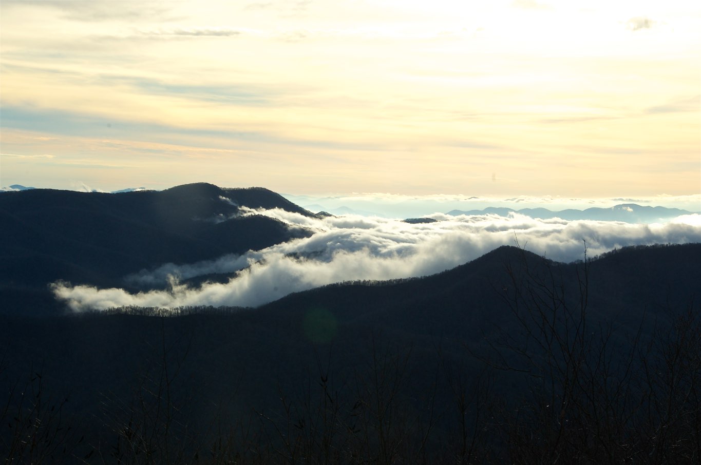
Smoky Mountains on Fire (II)

Smoky Mountains on Fire (III)
View from Silar Bald

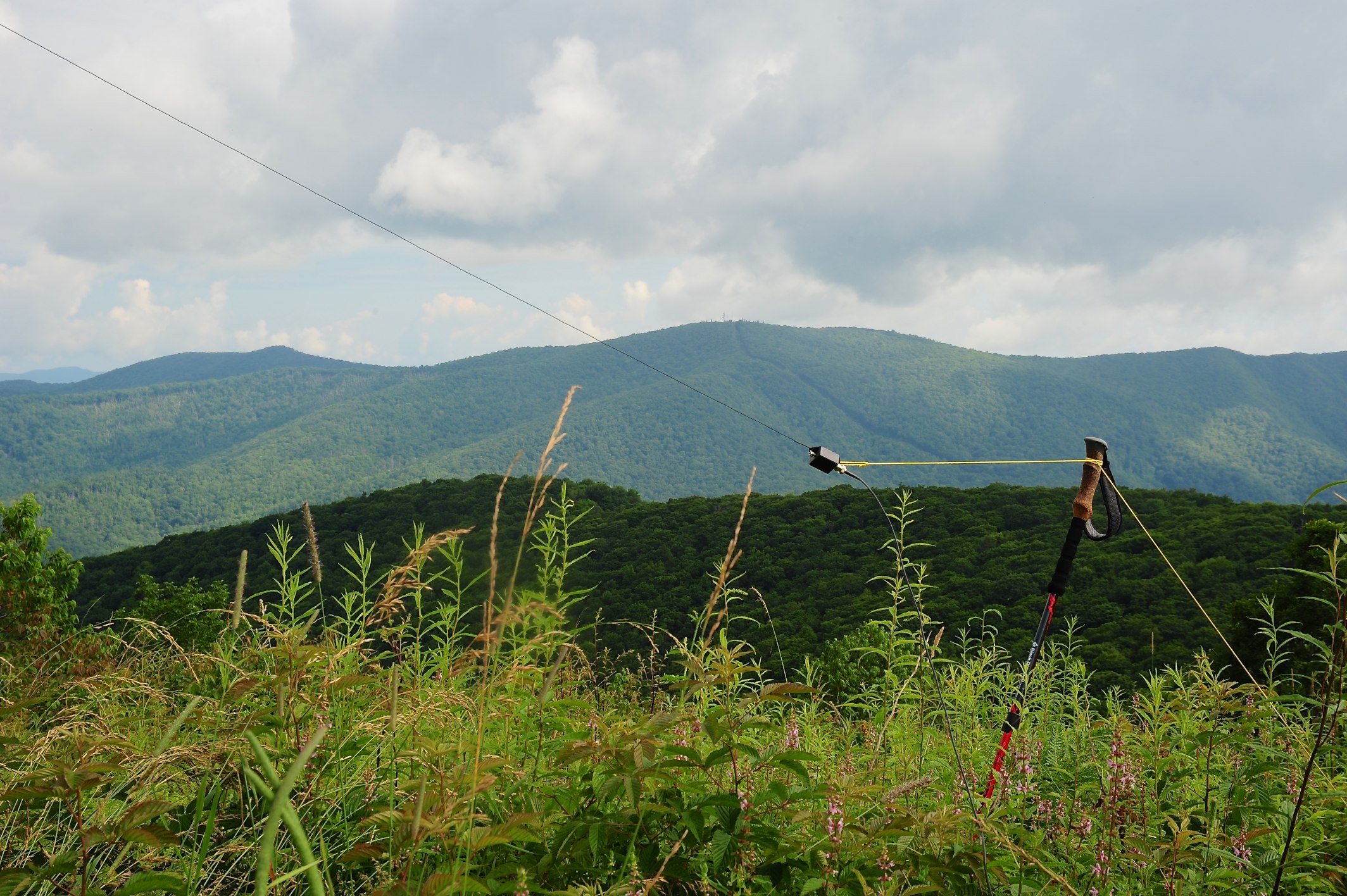
W4C/WM-024 - Siler Bald View
Cephalanthus occidentalis (Buttonbush)
W4C/WM-024 - Siler Bald View

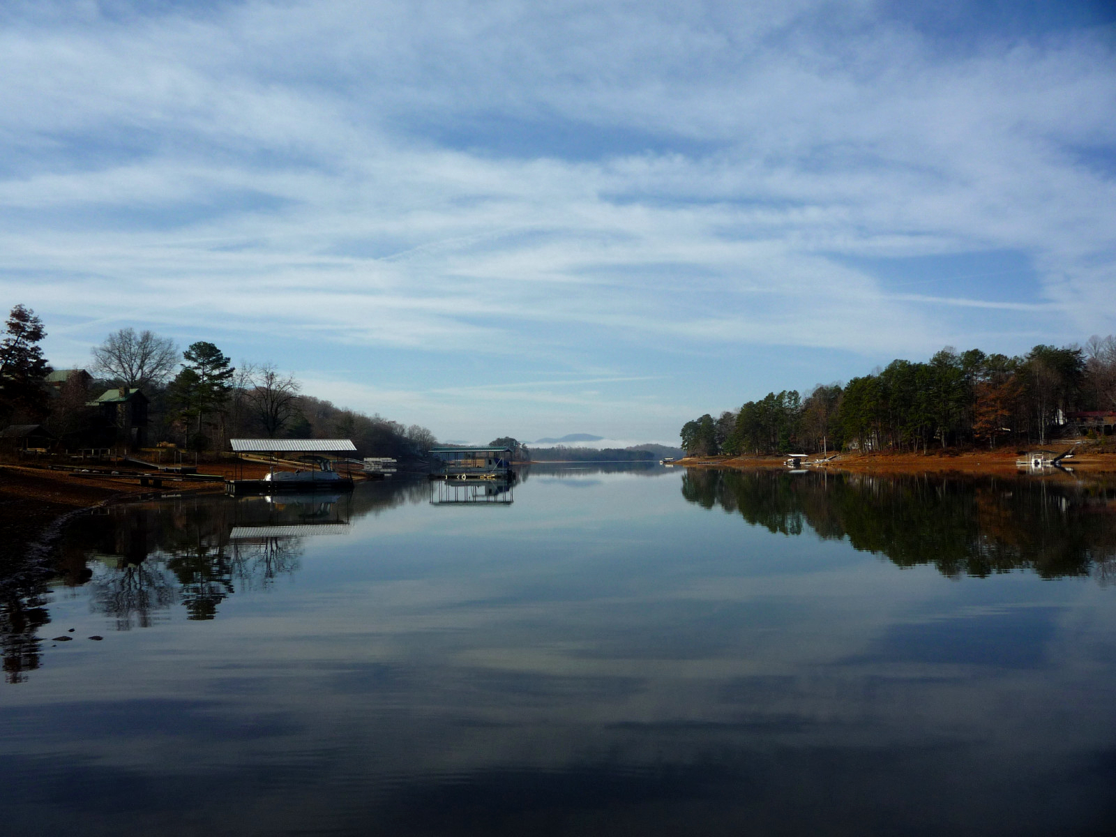
Backlit - Lake Chatuge, North Carolina
W4C/WM-024 - Siler Bald View
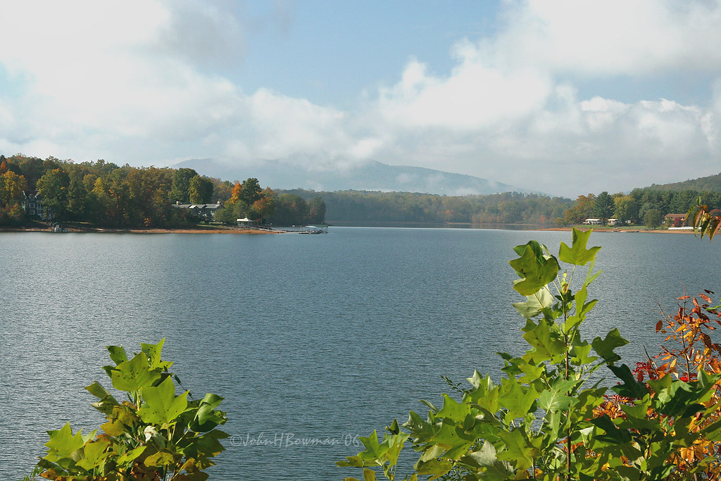
Clearing - Lake Chatuge, North Carolina
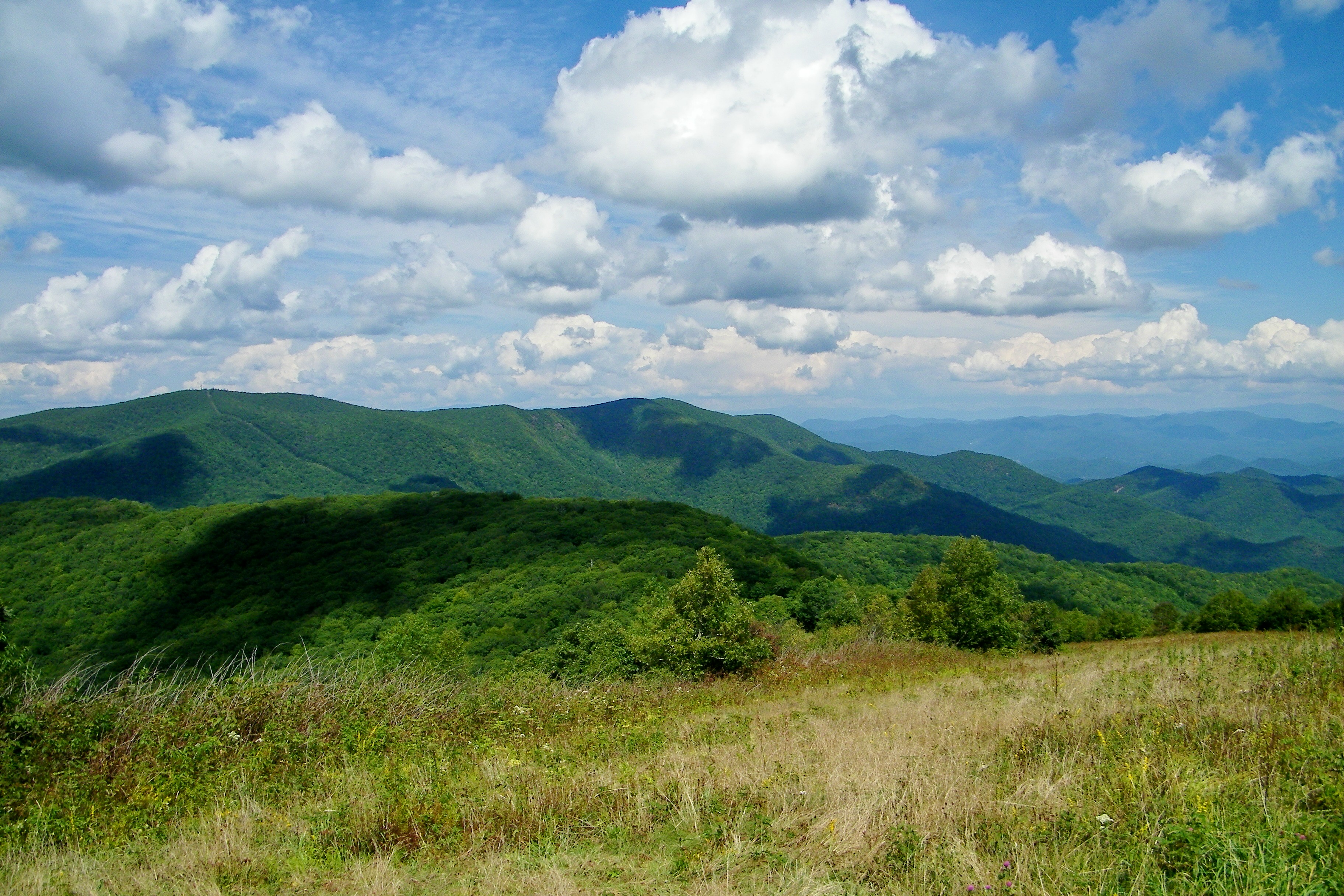
Silers Bald
The View
img013_edited-1
W4C/WM-024 - Siler Bald View
QTH View on W4C/WM-024 - Siler Bald
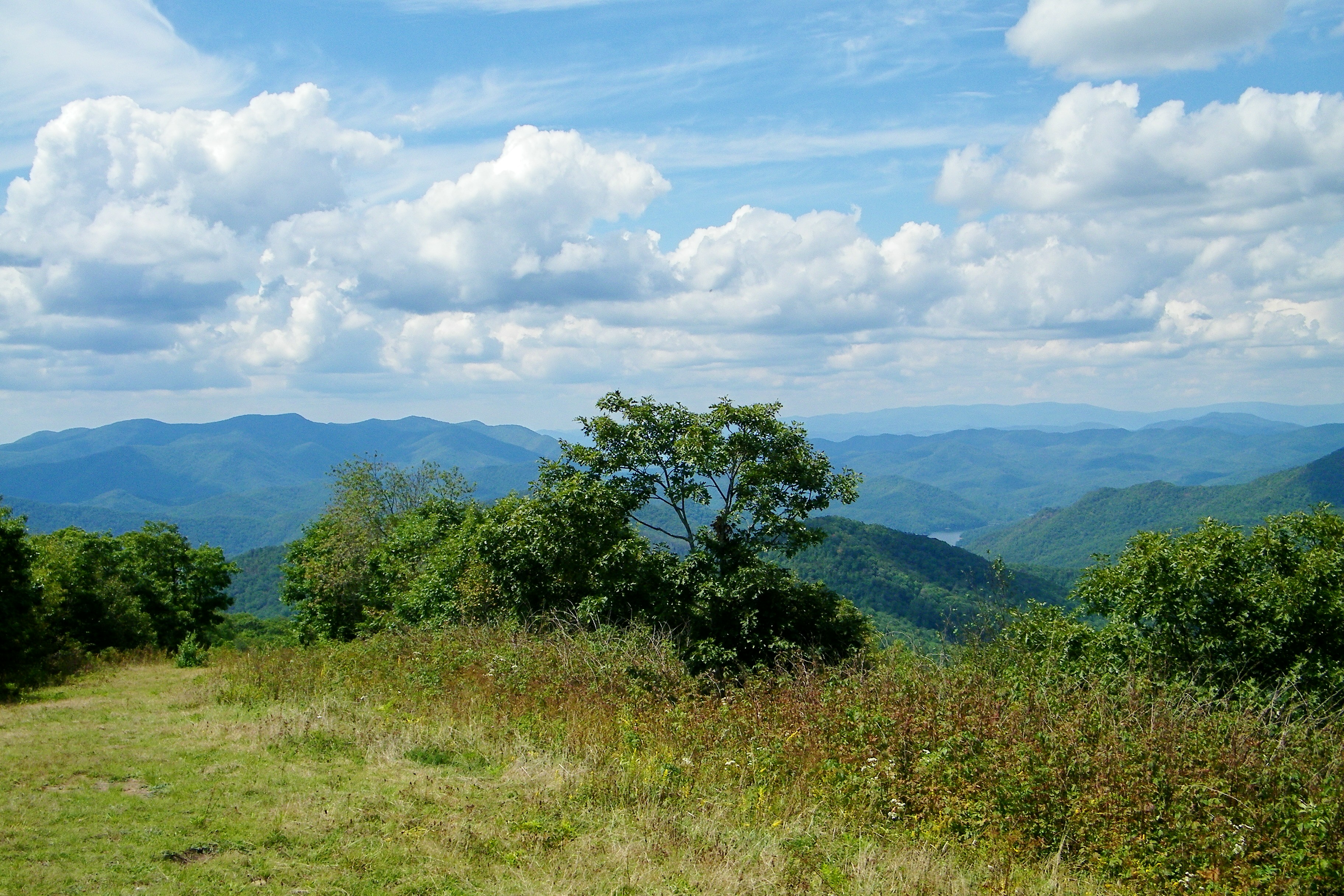
Silers Bald

Hawkesdene House Barn Far View

Silers Bald
Had the trail all to myself tonight. Finished off with this view. #ultratraining
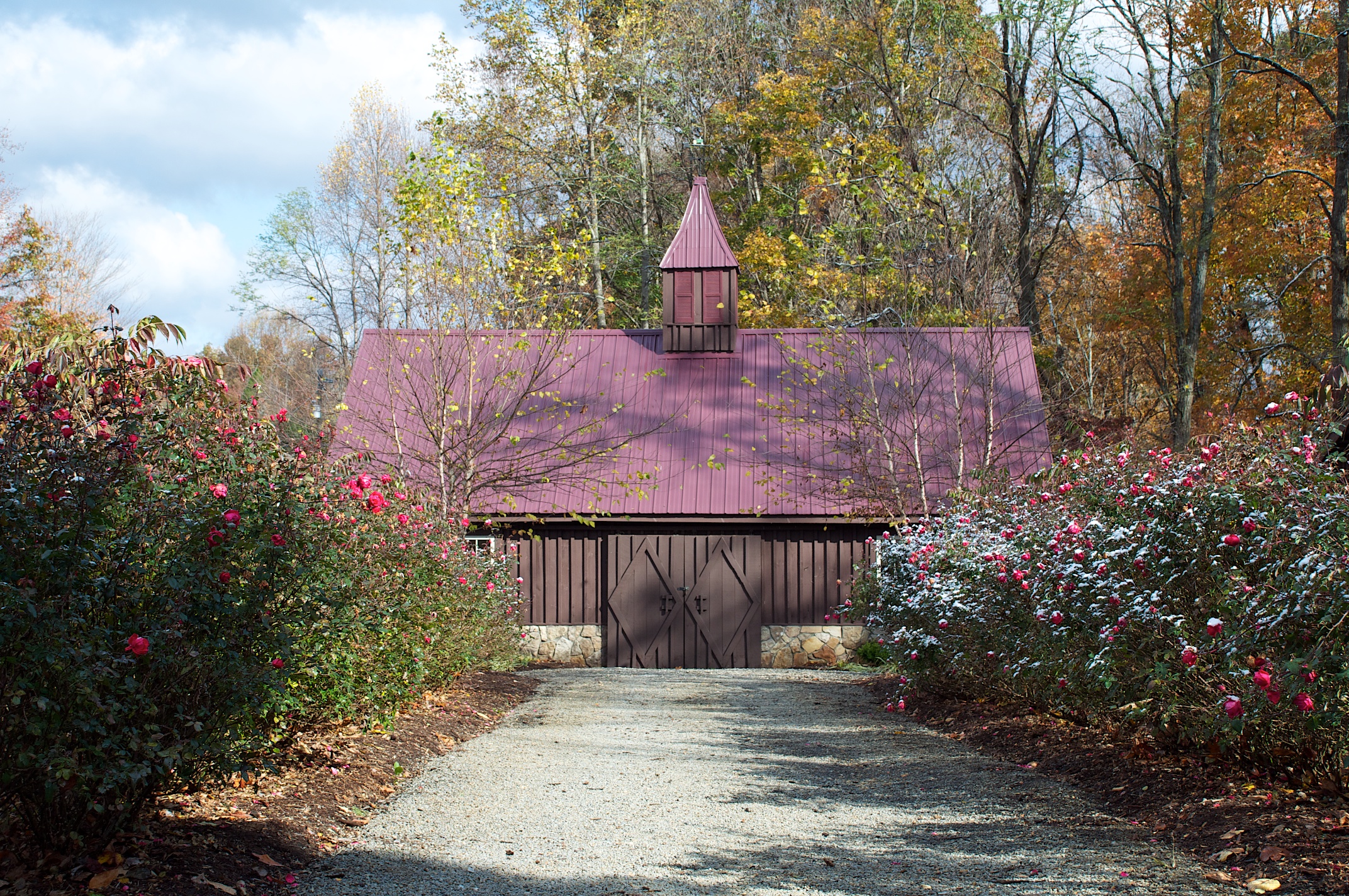
Hawkesdene House Barn Side View

View from Siler Bald Campsite
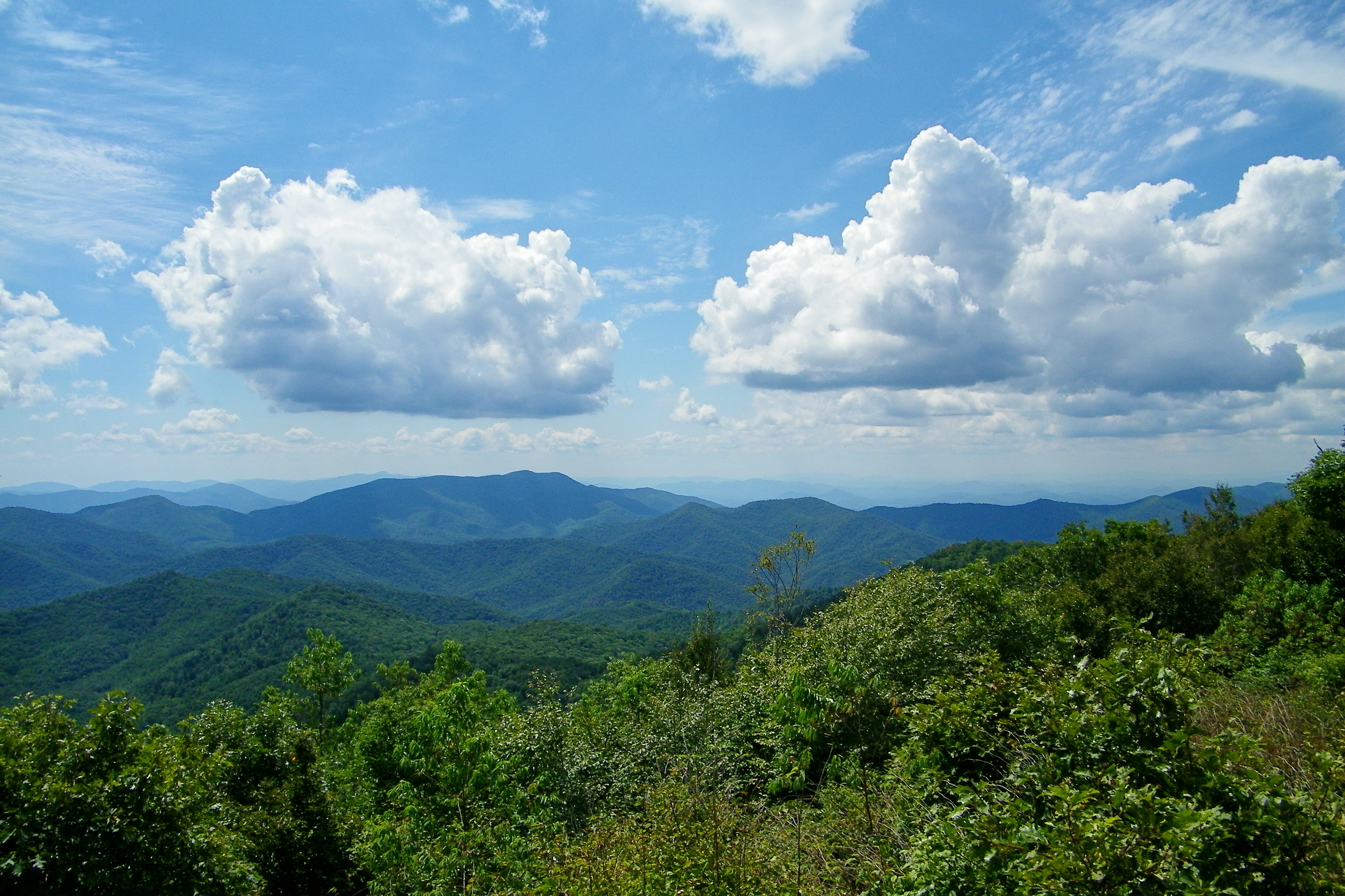
Silers Bald

Shooting Creek Sunrise_IMG_20150509_2727

Shooting Creek_IMG_20150509_2722

Sunrise Shooting Creek_IMG_20150509_2723

Fall colors
Morning Reflections

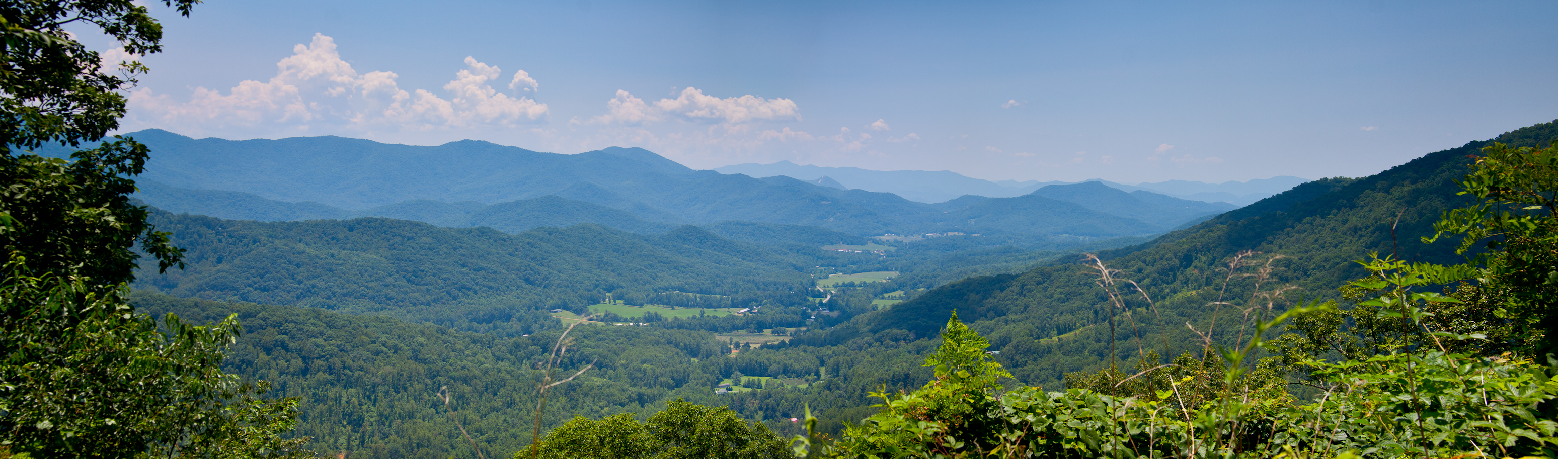
Blue Ridge
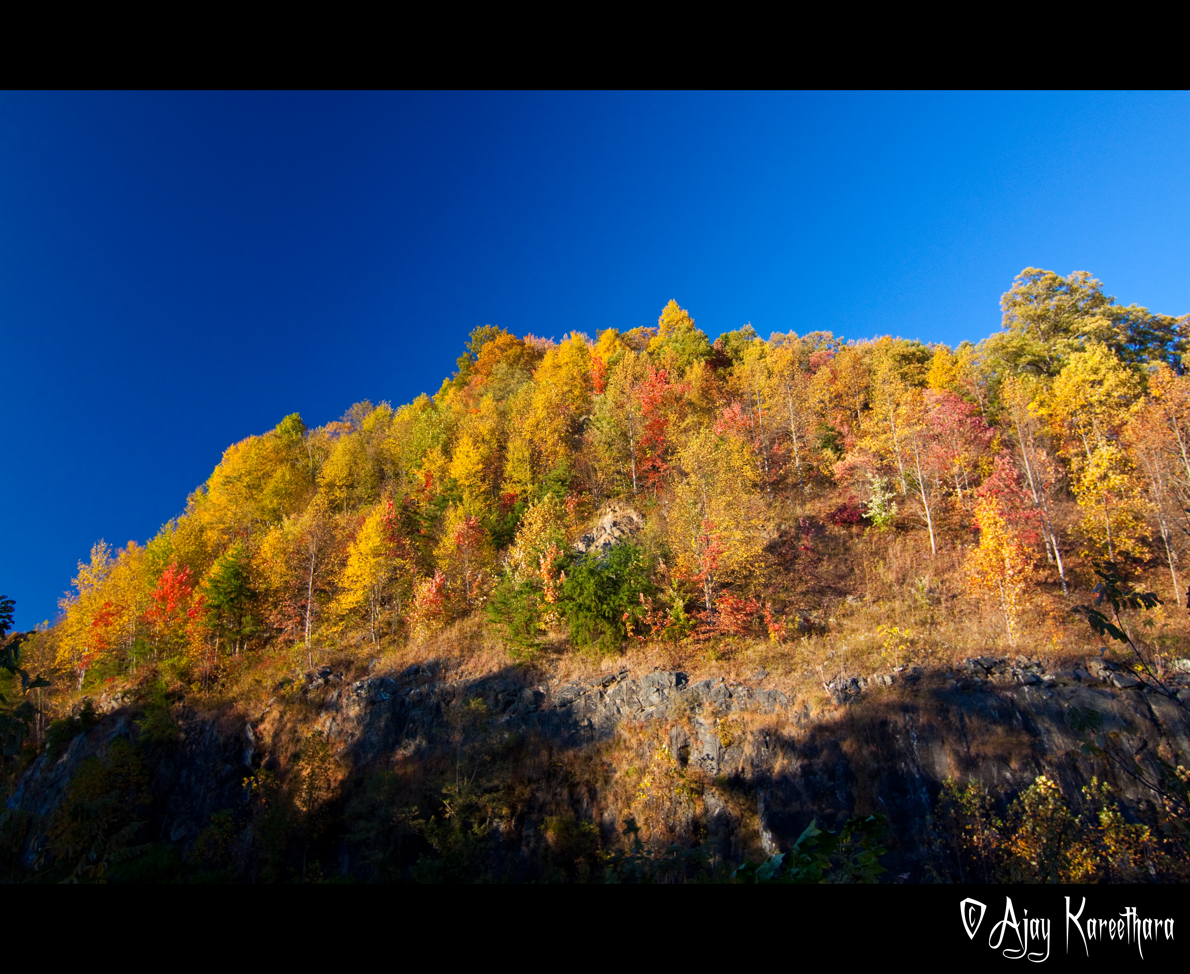
Fall @ Nanthahala Forest Smokies
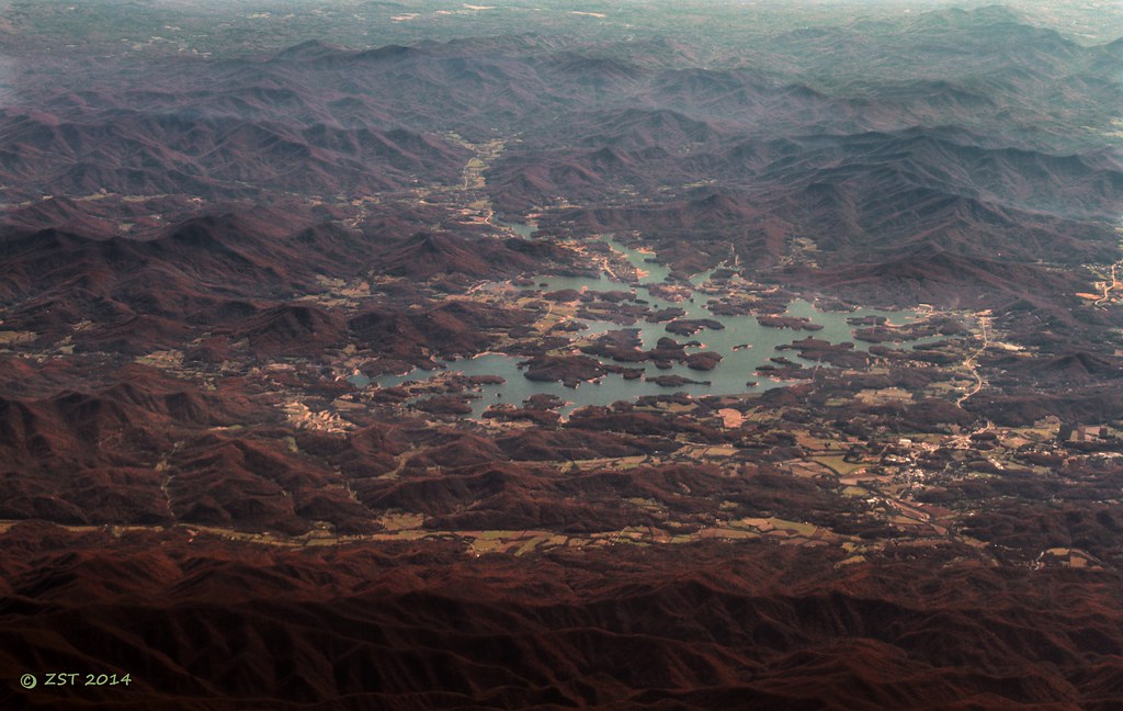
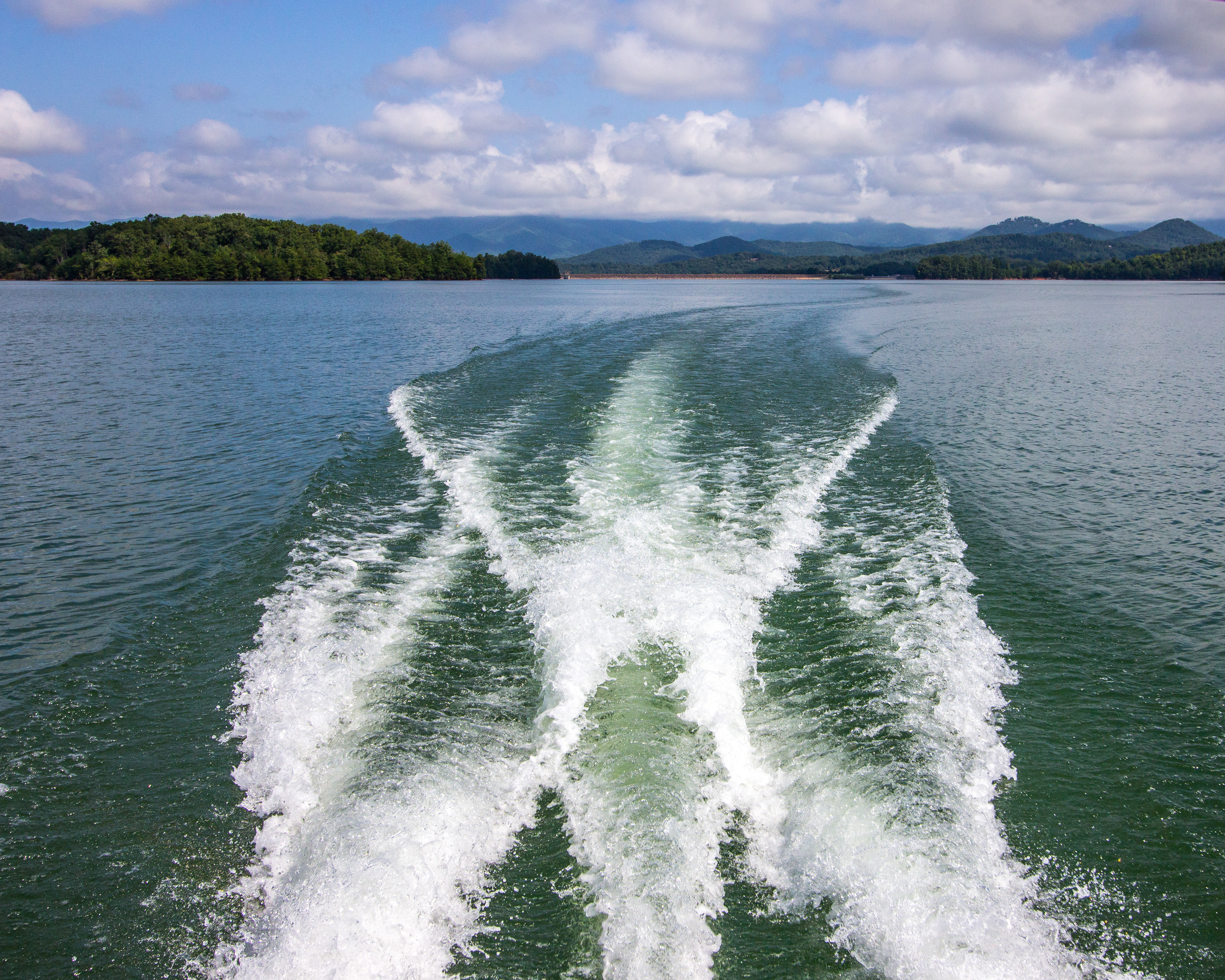
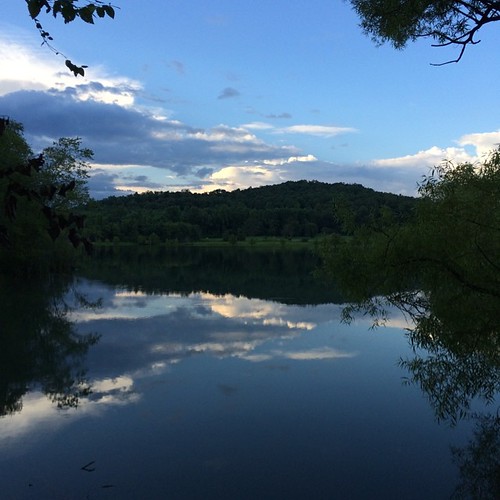
Chatuge Lake

photo.jpg
HWY 64
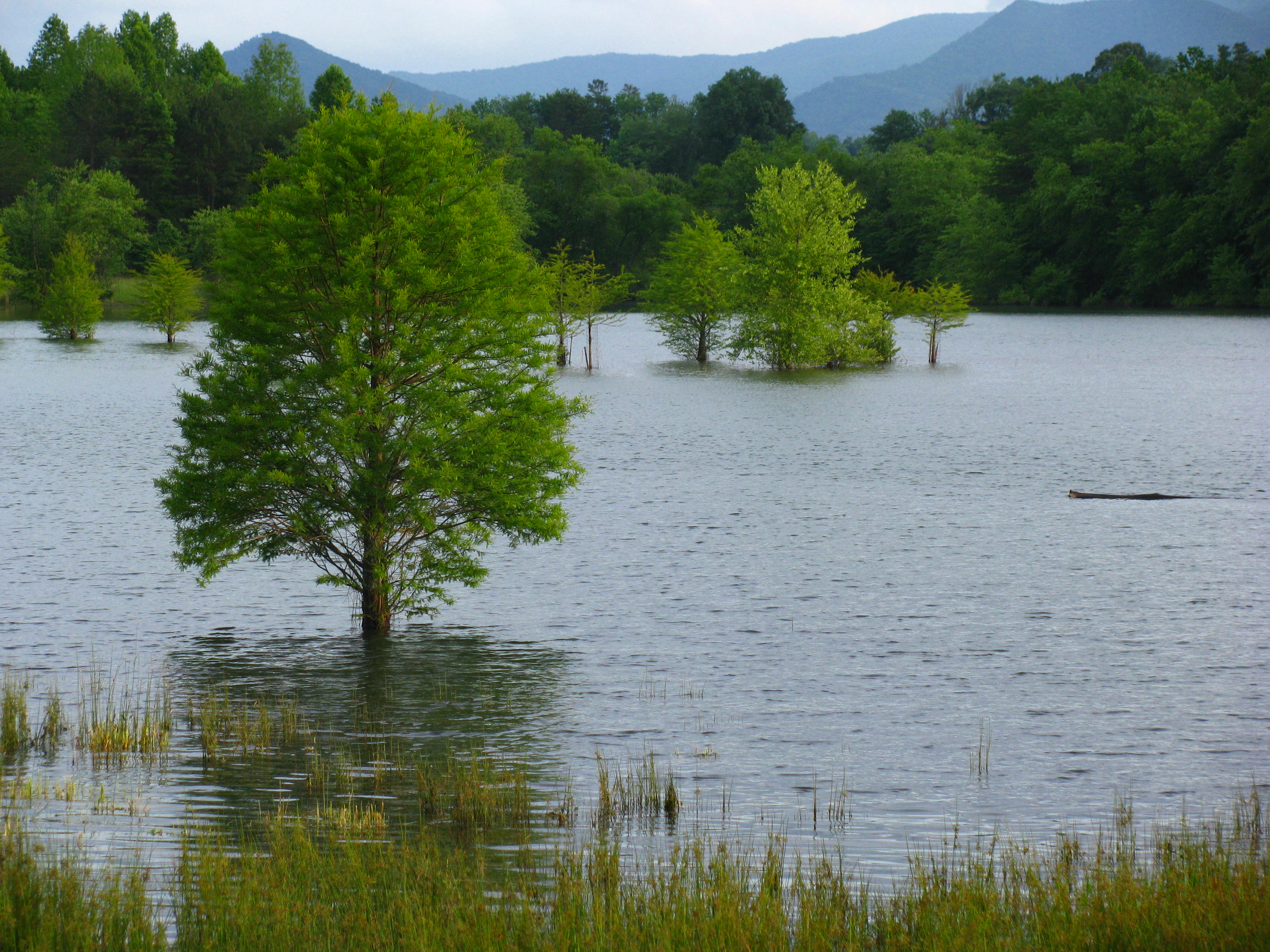
Trees in the lake
2013-09-27 14.03.39
"Smokey" Mountains

Valley Fields
Topographic Map of Tusquittee, NC, USA
Find elevation by address:

Places in Tusquittee, NC, USA:
Places near Tusquittee, NC, USA:
1729 Compass Meadows Dr
181 Little Cove Trl
655 Compass Creek Dr
1100 Compass Creek Dr
Clay County
Gold Mine Road
Gold Mine Road
6927 Tusquittee Rd
944 Compass Creek Dr
546 Compass Creek Dr
653 Compass Creek Dr
436 Compass Meadows Dr
5953 Tusquittee Rd
10 Compass Meadows Dr
1795 State Rd 1326
Tusquitee
895 Chairmaker Dr
4192 Downings Creek Rd
1244 Stamey Cove Rd
124 Cold Branch Ln
Recent Searches:
- Elevation of Corso Fratelli Cairoli, 35, Macerata MC, Italy
- Elevation of Tallevast Rd, Sarasota, FL, USA
- Elevation of 4th St E, Sonoma, CA, USA
- Elevation of Black Hollow Rd, Pennsdale, PA, USA
- Elevation of Oakland Ave, Williamsport, PA, USA
- Elevation of Pedrógão Grande, Portugal
- Elevation of Klee Dr, Martinsburg, WV, USA
- Elevation of Via Roma, Pieranica CR, Italy
- Elevation of Tavkvetili Mountain, Georgia
- Elevation of Hartfords Bluff Cir, Mt Pleasant, SC, USA