Elevation of Turkey Valley Rd, Herndon, PA, USA
Location: United States > Pennsylvania > Northumberland County >
Longitude: -76.796442
Latitude: 40.660019
Elevation: 226m / 741feet
Barometric Pressure: 99KPa
Elevation Map:
Satellite Map:
Related Photos:
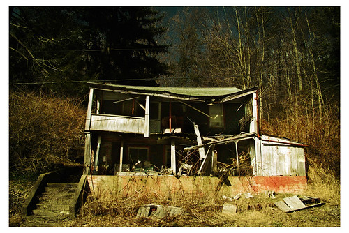
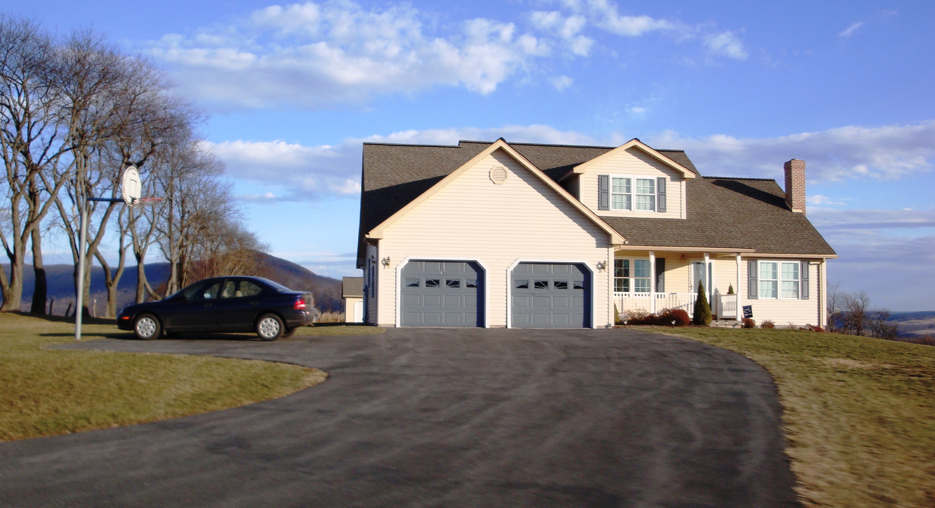
Barbie's Dream House
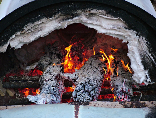
Kiln 9
Armstrong Valley PA
Kiln 2
Mountain View Mahantongo Mountain
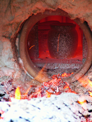
Kiln 14
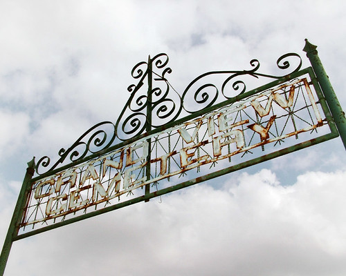
Grand View Cemetery
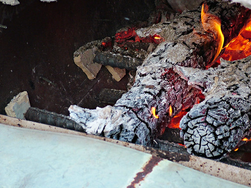
Kiln 10
.

DILO 11:25 am

Flower (Side View)
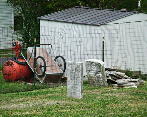
Tombstone pile
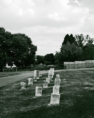
Three rows
Hooflander Path

Conifers, Lodge at Lykens Valley, Millersburg, PA

Crissinger Road
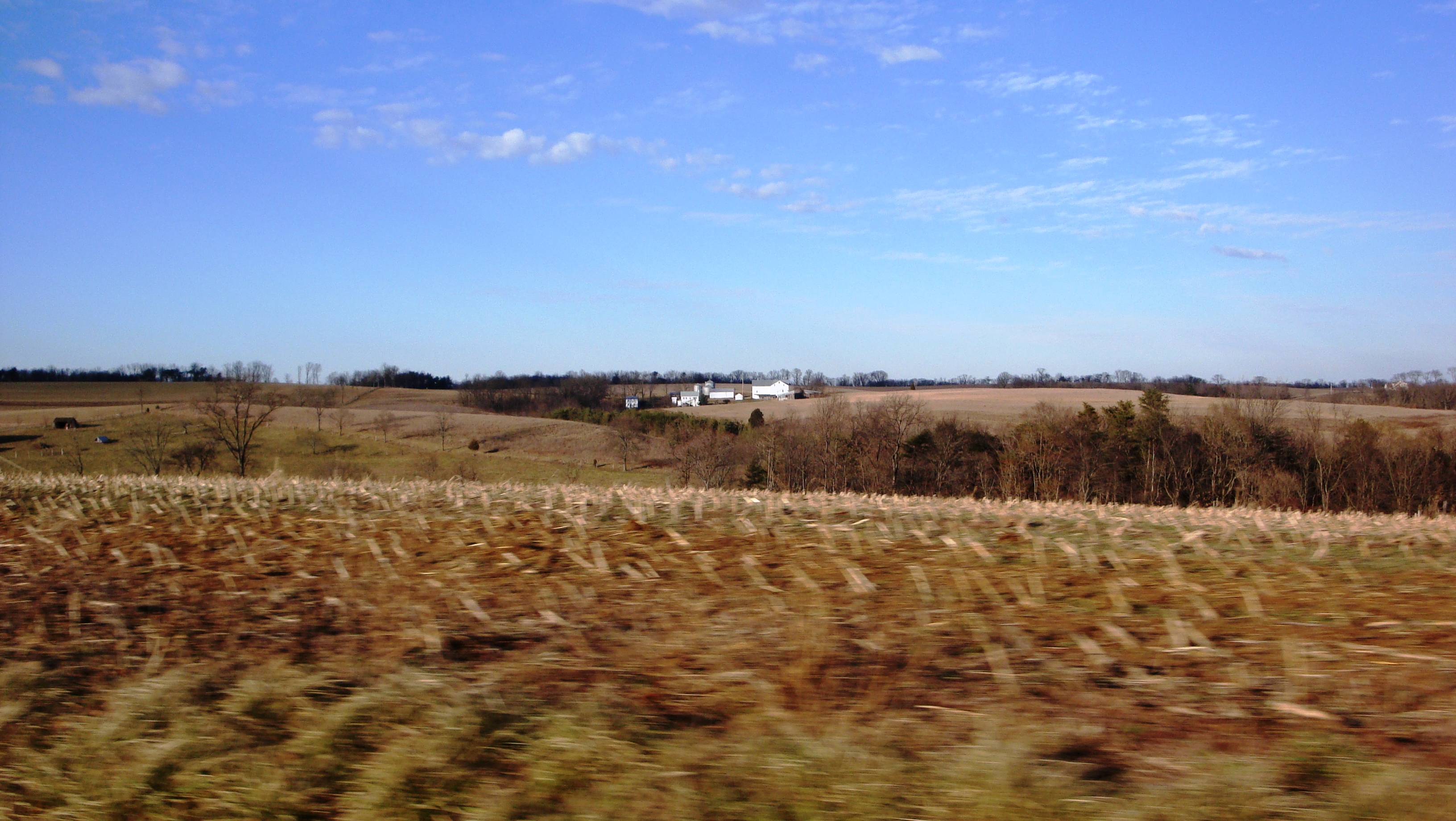
Oh field

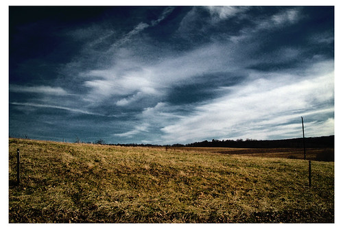
Thunder!!

Recluse Grave

Nail Landscape
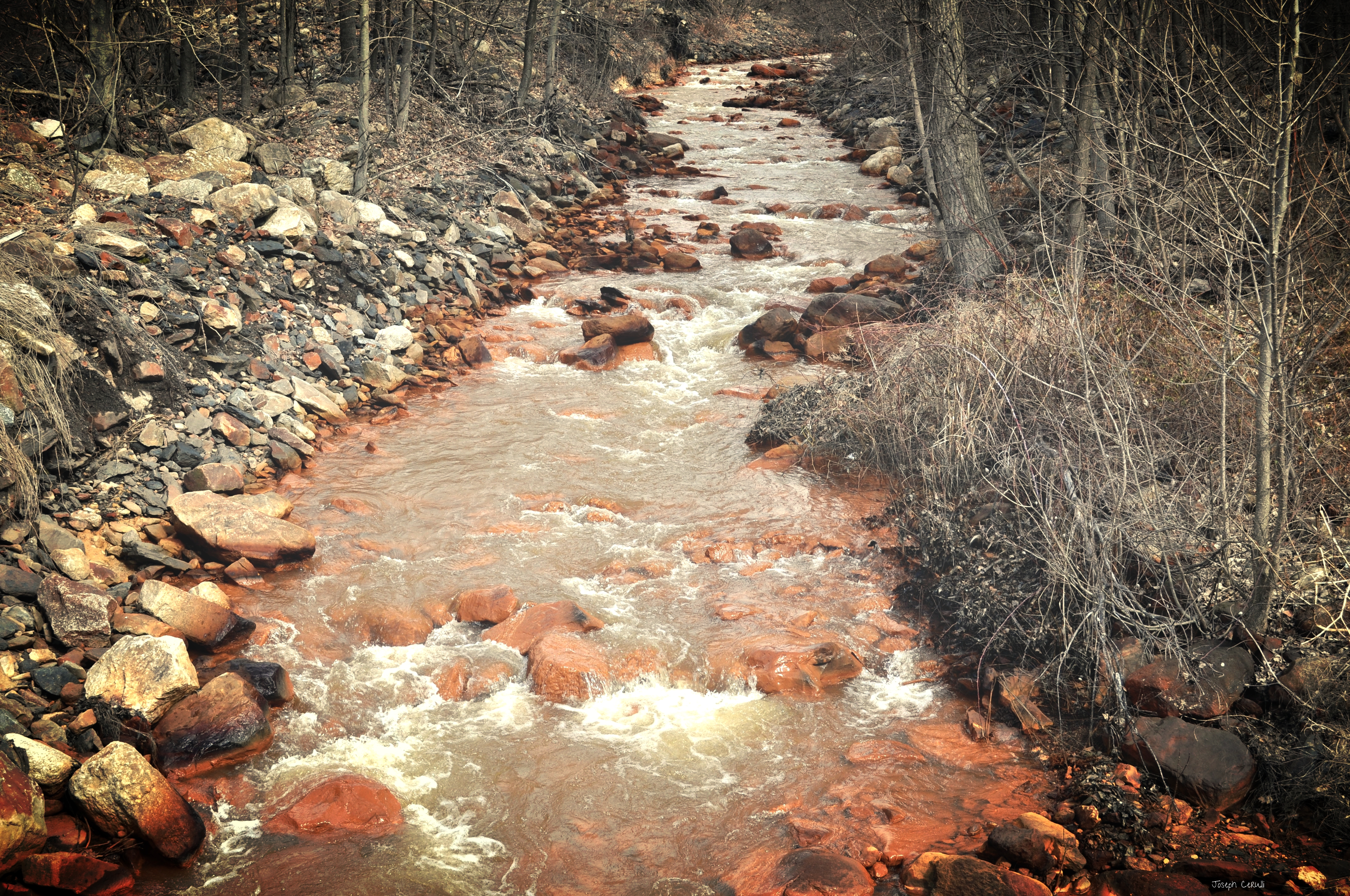
The Mine Water

Self Portrait behind Plastic

Little old shack where

Rebuck Sunset

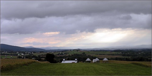
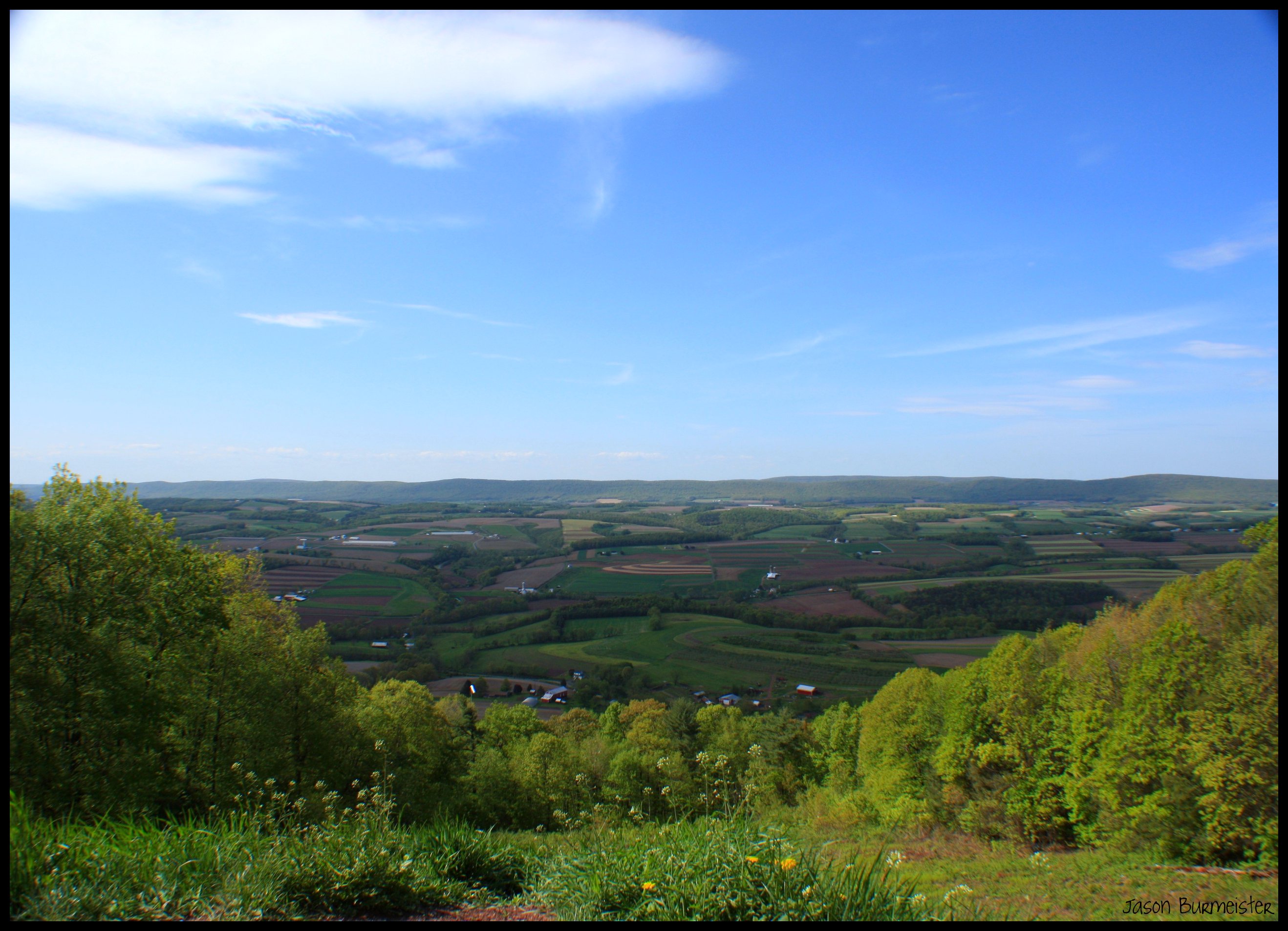
Overlooking the Valley

Trees 1
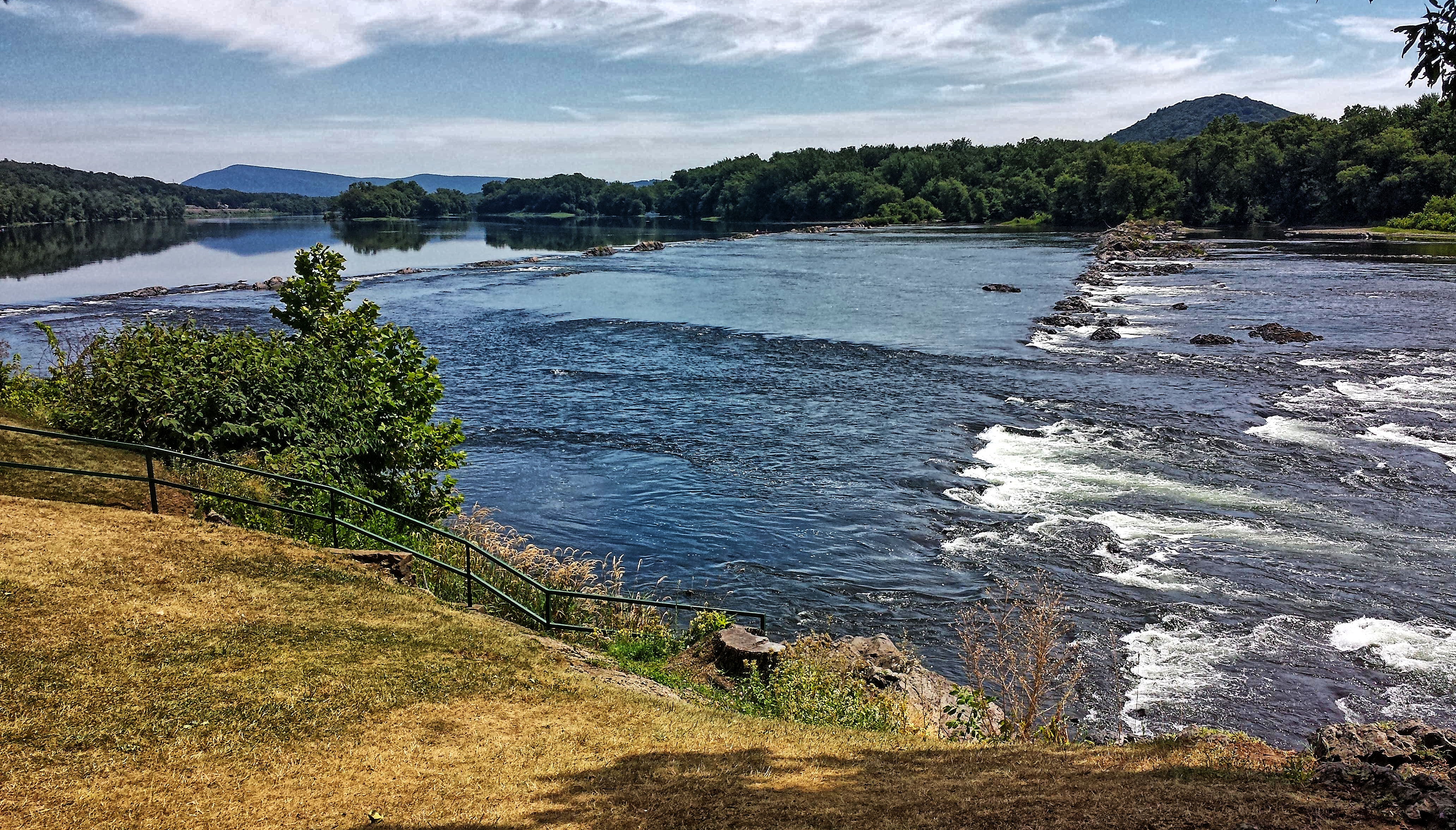
McKee's Half Falls- Susquehanna River- Snyder County PA (3)

Far and Wide
.
Screen landscape
Overlooking Slutter Valley from Hooflander Mountain

Running through the forest
Topographic Map of Turkey Valley Rd, Herndon, PA, USA
Find elevation by address:

Places near Turkey Valley Rd, Herndon, PA, USA:
Market St, Pillow, PA, USA
Pillow
Jackson Township
210 Pottsville St
Herndon
Lower Mahanoy Township
Washington Township
state Rte, Lykens, PA, USA
Dalmatia
Susanna St, Dalmatia, PA, USA
Elizabethville
1127 Line Mountain Rd
Lykens, PA, USA
Market St, Lykens, PA, USA
Lykens
Jackson Township
US-, Millersburg, PA, USA
Wiconisco, PA, USA
54 Mahantango Rd, Liverpool, PA, USA
Upper Paxton Township
Recent Searches:
- Elevation of Corso Fratelli Cairoli, 35, Macerata MC, Italy
- Elevation of Tallevast Rd, Sarasota, FL, USA
- Elevation of 4th St E, Sonoma, CA, USA
- Elevation of Black Hollow Rd, Pennsdale, PA, USA
- Elevation of Oakland Ave, Williamsport, PA, USA
- Elevation of Pedrógão Grande, Portugal
- Elevation of Klee Dr, Martinsburg, WV, USA
- Elevation of Via Roma, Pieranica CR, Italy
- Elevation of Tavkvetili Mountain, Georgia
- Elevation of Hartfords Bluff Cir, Mt Pleasant, SC, USA