Elevation of Turkey Shoot Road, Turkey Shoot Rd, Florida, USA
Location: United States > Florida > Volusia County > Pierson >
Longitude: -81.483730
Latitude: 29.3069491
Elevation: 14m / 46feet
Barometric Pressure: 101KPa
Elevation Map:
Satellite Map:
Related Photos:

Crescent City (#0444)

The destination, the Blackwater Inn on the St. John's river.

The destination, the Blackwater Inn on the St. John's river.

On the train from New York to Orlando
Lower Wekiva River Preserve State Park

Blackwater Inn-Astor , Florida #Florida #Astor #StJohnsRiver

Stella Lake 3 Crescent City FL

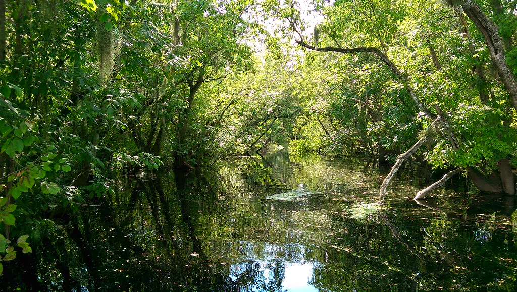
Swamp behind Dad's house

Stella Lake 2 Crescent City FL

Stella Lake 1 Crescent City FL

Out in the Country

Fire.

Sunset in Salt Springs FL
Topographic Map of Turkey Shoot Road, Turkey Shoot Rd, Florida, USA
Find elevation by address:

Places near Turkey Shoot Road, Turkey Shoot Rd, Florida, USA:
1710 Cherry St
Seville
Buddy Morton Road
Armellini Industries Inc
150 Robinson Ln
925 Us-17
9 Mile Point Road
800 Old Bubbly Rd
Raulerson Rd, Seville, FL, USA
295 Old Bubbly Rd
721 Old Bubbly Rd
1609 Bass Ave
Robinson Road
Ninemile Point Rd, Pierson, FL, USA
448 Minshew Rd
Minshew Road
Old Oak Circle
696 Vannote Rd
Lake George Pines
220 Blake St
Recent Searches:
- Elevation of Corso Fratelli Cairoli, 35, Macerata MC, Italy
- Elevation of Tallevast Rd, Sarasota, FL, USA
- Elevation of 4th St E, Sonoma, CA, USA
- Elevation of Black Hollow Rd, Pennsdale, PA, USA
- Elevation of Oakland Ave, Williamsport, PA, USA
- Elevation of Pedrógão Grande, Portugal
- Elevation of Klee Dr, Martinsburg, WV, USA
- Elevation of Via Roma, Pieranica CR, Italy
- Elevation of Tavkvetili Mountain, Georgia
- Elevation of Hartfords Bluff Cir, Mt Pleasant, SC, USA