Elevation of Tulln, Austria
Location: Austria > Lower Austria > Tulln District > Tulln An Der Donau >
Longitude: 16.0607370
Latitude: 48.3314949
Elevation: 179m / 587feet
Barometric Pressure: 99KPa
Elevation Map:
Satellite Map:
Related Photos:
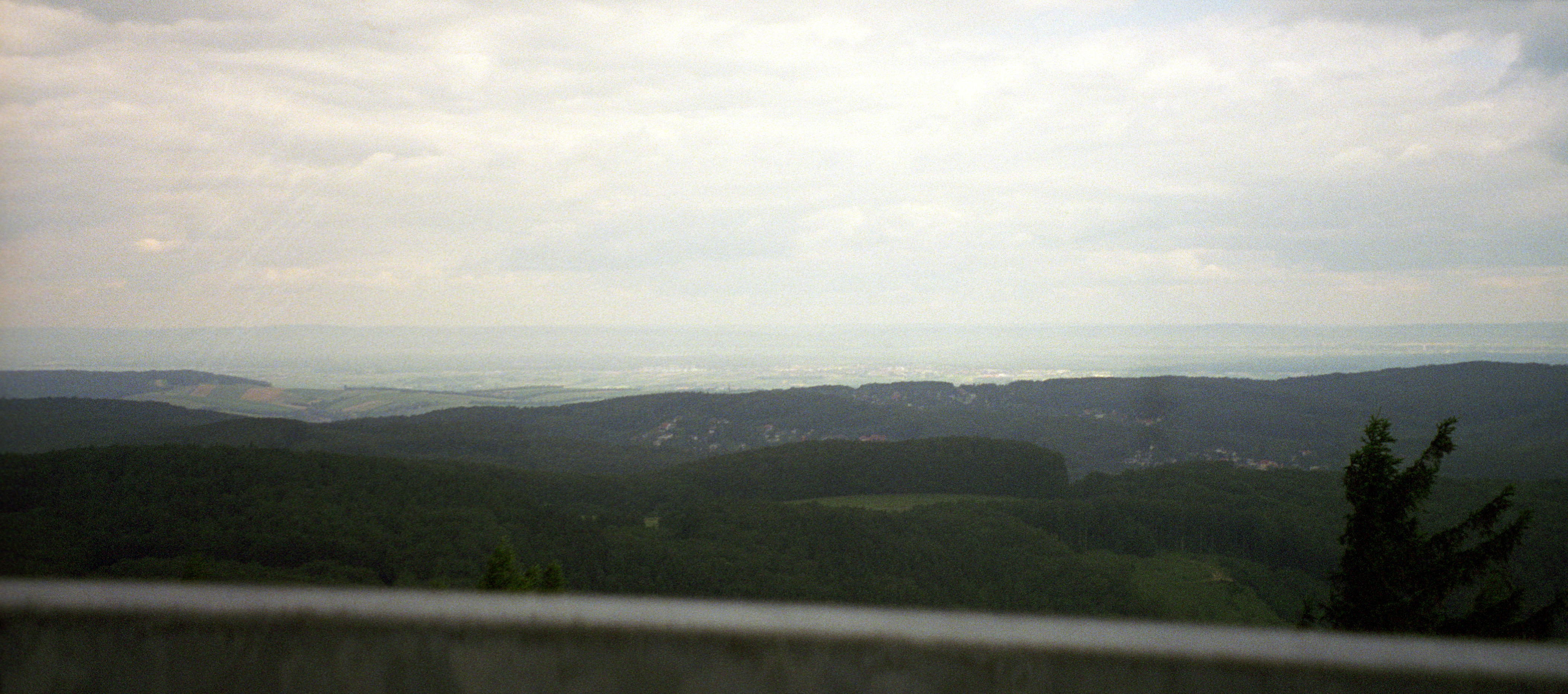
Austrian Countryside

20070611-174255.jpg
Topographic Map of Tulln, Austria
Find elevation by address:

Places near Tulln, Austria:
Tulln An Der Donau
Nitzing
Fliegerhorst Brumowski
Mayerhofstraße 29, Pixendorf, Austria
Hauptstraße 7, Rappoltenkirchen, Austria
Rappoltenkirchen
In der Bonna 11, Pressbaum, Austria
Au Am Kraking
Pressbaum
Gemeinde Pressbaum
Diamond Country Club
An der Stadlhütte 10, Purkersdorf, Austria
Markersdorf, Markersdorf, Austria
Vienna Woods
Untermoos 3, Untermoos, Austria
Würmla
Egelsee 5, Egelsee, Austria
Schubertgasse, St. Christophen, Austria
Wolfersdorf 5, Wolfersdorf, Austria
Gstockert 5, Gstockert, Austria
Recent Searches:
- Elevation of Corso Fratelli Cairoli, 35, Macerata MC, Italy
- Elevation of Tallevast Rd, Sarasota, FL, USA
- Elevation of 4th St E, Sonoma, CA, USA
- Elevation of Black Hollow Rd, Pennsdale, PA, USA
- Elevation of Oakland Ave, Williamsport, PA, USA
- Elevation of Pedrógão Grande, Portugal
- Elevation of Klee Dr, Martinsburg, WV, USA
- Elevation of Via Roma, Pieranica CR, Italy
- Elevation of Tavkvetili Mountain, Georgia
- Elevation of Hartfords Bluff Cir, Mt Pleasant, SC, USA