Elevation of Tule Peak, Nevada, USA
Location: United States > Nevada > Washoe County > Reno >
Longitude: -119.74408
Latitude: 39.9760179
Elevation: 2581m / 8468feet
Barometric Pressure: 74KPa
Elevation Map:
Satellite Map:
Related Photos:
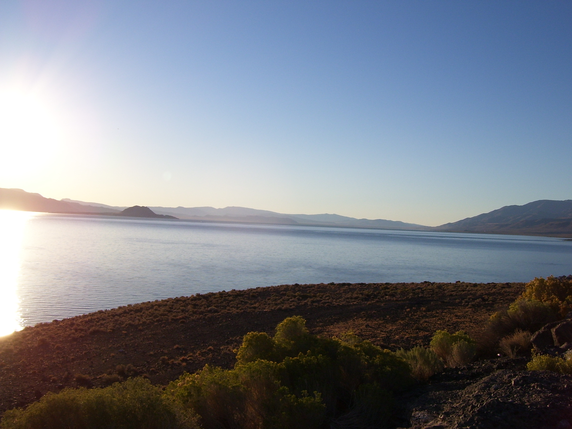
Sun's reflection off the water
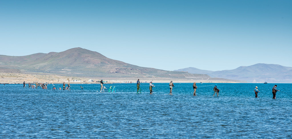
Pyramid Fishermen - Fisherpeople Mar 29 2015

DogskinMountains_20081026-133708

DogskinMountains_20081026-100548

DogskinMountains_20081026-103026

DogskinMountains_20081026-114420
Topographic Map of Tule Peak, Nevada, USA
Find elevation by address:

Places near Tule Peak, Nevada, USA:
Regional Shooting Facility
21555 Pyramid Way
5800 Aerie Way
Sutcliffe Dr, Reno, NV, USA
6650 Winnemucca Ranch Rd
Dixie Lane
3880 Antelope Valley Rd
Pyramid Lake
60 Horseshoe Cir
55 Horseshoe Cir
15100 N Red Rock Rd
15305 N Red Rock Rd
300 Chieftan Dr
21905 Fetlock Dr
State Line Peak
9476 Matterhorn Ct
1315 Half Mine Rd
670 Appaloosa Cir
105 Alpha Butte Rd
North Red Rock Road
Recent Searches:
- Elevation of Corso Fratelli Cairoli, 35, Macerata MC, Italy
- Elevation of Tallevast Rd, Sarasota, FL, USA
- Elevation of 4th St E, Sonoma, CA, USA
- Elevation of Black Hollow Rd, Pennsdale, PA, USA
- Elevation of Oakland Ave, Williamsport, PA, USA
- Elevation of Pedrógão Grande, Portugal
- Elevation of Klee Dr, Martinsburg, WV, USA
- Elevation of Via Roma, Pieranica CR, Italy
- Elevation of Tavkvetili Mountain, Georgia
- Elevation of Hartfords Bluff Cir, Mt Pleasant, SC, USA