Elevation of Troutdale Highway, Troutdale Hwy, Troutdale, VA, USA
Location: United States > Virginia > Grayson County > Wilson Creek > Troutdale >
Longitude: -81.440572
Latitude: 36.7021346
Elevation: 950m / 3117feet
Barometric Pressure: 90KPa
Elevation Map:
Satellite Map:
Related Photos:

AT Panorama – 9/19/2020
The Ranger’s View

The Vista 01

Signs of Fall - HFF
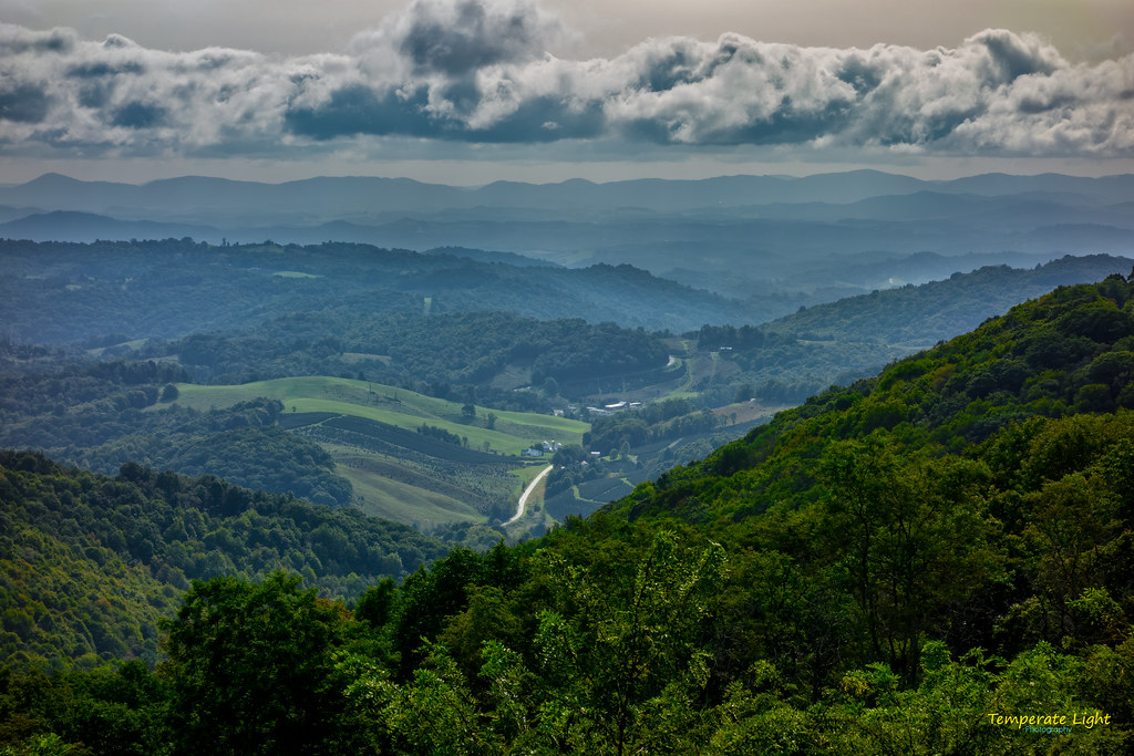
Grayson Highlands

Forgotten House in the Hills

View from Whitetop Road 1

Two Hikers taking in the Grayson County view.

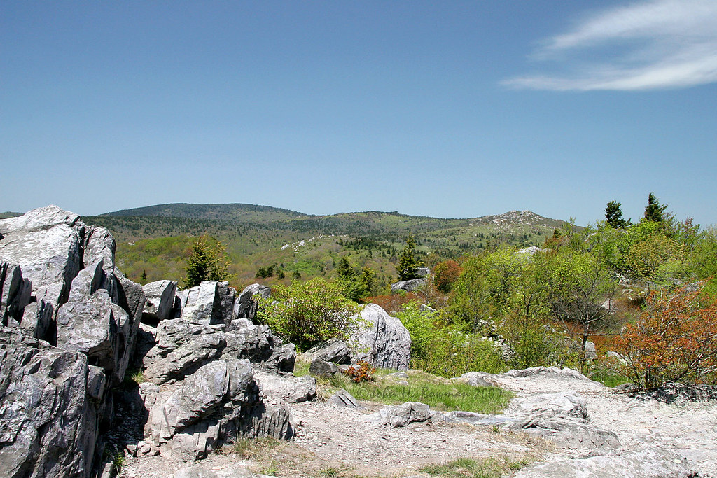
Wilburn Ridge Trail

View from Whitetop Road 3

Wilburn Ridge Pano

Morning on Wilburn Ridge

Wilburn Ridge Sunrise

Views on Wilburn Ridge

Grayson Highlands Sunset

Views on Wilburn Ridge

Appalachian Yorkie

Amazing Views
Views on Wilburn Ridge

Mobile Home

Morning Light

A little color...Sugarlands Overlook, Grayson Highlands State Park [Explored]

Christmas Tree Farms...

Grayson Highlands

Cabin on Cabin Creek

Sugarland Overlook - Grayson Highlands State Park

HFF! Fence from Old First Peak Trail

Grayson Highlands

Grayson HIghlands State Park, VA

Starry Starry Evening

Pony at Grayson Highlands State Park, Virginia

Foggy Wilburn

Wilburn Ridge Sunset
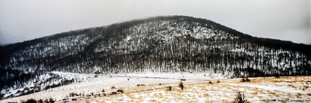
1991.01.15.01 Winter in Elk Garden Gap

Through The Grass

SWVA -- My Second Home

At the Rhododendron Gap spring
Topographic Map of Troutdale Highway, Troutdale Hwy, Troutdale, VA, USA
Find elevation by address:

Places near Troutdale Highway, Troutdale Hwy, Troutdale, VA, USA:
128 Sapphire Ln
10401 Troutdale Hwy
Troutdale
Ripshin Road
9883 Troutdale Hwy
Rocky Hollow Road
Rocky Hollow Road
390 Hidden Hollow Rd
647 Hidden Hollow Ln
3748 Rocky Hollow Rd
4111 Rocky Hollow Rd
8222 Troutdale Hwy
180 Country View Rd
426 Hazelwood Rd
Wilson Creek
4528 Ripshin Rd
Grant
296 Hunt Club Rd
656 Little Wilson Rd
65 Green Gable Rd
Recent Searches:
- Elevation of Corso Fratelli Cairoli, 35, Macerata MC, Italy
- Elevation of Tallevast Rd, Sarasota, FL, USA
- Elevation of 4th St E, Sonoma, CA, USA
- Elevation of Black Hollow Rd, Pennsdale, PA, USA
- Elevation of Oakland Ave, Williamsport, PA, USA
- Elevation of Pedrógão Grande, Portugal
- Elevation of Klee Dr, Martinsburg, WV, USA
- Elevation of Via Roma, Pieranica CR, Italy
- Elevation of Tavkvetili Mountain, Georgia
- Elevation of Hartfords Bluff Cir, Mt Pleasant, SC, USA