Elevation of Trimont Lake Rd, Franklin, NC, USA
Location: United States > North Carolina > Macon County > Franklin > Franklin >
Longitude: -83.4234339
Latitude: 35.2039196
Elevation: 722m / 2369feet
Barometric Pressure: 0KPa
Related Photos:

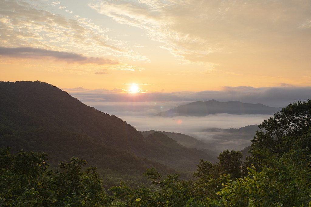
Tower Mountain View

Cloudy Mountain View

West View from Wesser Bald Observation Tower

Peaceful View

Wayah Bald Fire Tower - Franklin, North Carolina (HDR)

The new Wayah shelter

Cowee Bald Fire Tower - North Carolina

Silers Bald

Silers Bald

The Cowee Mountains.
I must have said something funny

Silers Bald

Swinging Lick gap

View from W4C/WM-024 - Siler Bald

Wayah Why Such A Bad Photo
Wayah Bald Lookout Tower

View from W4C/WM-024 - Siler Bald

View from Tellico Gap

QTH View on W4C/WM-024 - Siler Bald

Wayah Bald Lookout Tower

Good looking kid

Blue Ridge Mountains in Autumn. Hayesville, NC

Mountain waves
Rufus Morgan Falls

Summer Mountain View

Rufus Morgan Trailhead-8430

Observation Tower View
Wayah Bald View

Wayah Bald Mountain View

Wayah Bald Tower

Winding Stair Sunrise
Winding Stair Sunrise

Rufus Morgan Falls-8485

Rufus Morgan Trailhead-8453

Rufus Morgan Falls-8483

Rufus Morgan Trailhead-8426

Smoky Mountains

Rufus Morgan Falls-8486

Rufus Morgan Trailhead-8493

Rufus Morgan Trailhead-8437
Topographic Map of Trimont Lake Rd, Franklin, NC, USA
Find elevation by address:

Places near Trimont Lake Rd, Franklin, NC, USA:
82 Iotla View Dr
179 Misty Dawn Cir
Trimont Lake Road
975 Trimont Lake Rd
820 Trimont Lake Estates Rd
Trimont Lake Estates Road
162 Bennett Ridge Rd
657 Jacobs Branch Rd
329 Bennett Ridge Rd
Lloyd Tallent Road
238 Bandarosa Dr
1172 Sapphire Ln
87 Cottontail Ln
470 Willow Cove Rd
1241 Airport Rd
142 Willow Cove Rd
343 Willow Cove Rd
1098 Willis Cove Rd
1098 Willis Cove Rd
554 Chalk Hill Rd
Recent Searches:
- Elevation of North 8th Street, Palatka, Putnam County, Florida, 32177, USA
- Elevation of 107, Big Apple Road, East Palatka, Putnam County, Florida, 32131, USA
- Elevation of Jiezi, Chongzhou City, Sichuan, China
- Elevation of Chongzhou City, Sichuan, China
- Elevation of Huaiyuan, Chongzhou City, Sichuan, China
- Elevation of Qingxia, Chengdu, Sichuan, China
- Elevation of Corso Fratelli Cairoli, 35, Macerata MC, Italy
- Elevation of Tallevast Rd, Sarasota, FL, USA
- Elevation of 4th St E, Sonoma, CA, USA
- Elevation of Black Hollow Rd, Pennsdale, PA, USA
- Elevation of Oakland Ave, Williamsport, PA, USA
- Elevation of Pedrógão Grande, Portugal
- Elevation of Klee Dr, Martinsburg, WV, USA
- Elevation of Via Roma, Pieranica CR, Italy
- Elevation of Tavkvetili Mountain, Georgia
- Elevation of Hartfords Bluff Cir, Mt Pleasant, SC, USA
- Elevation of SW Barberry Dr, Beaverton, OR, USA
- Elevation of Old Ahsahka Grade, Ahsahka, ID, USA
- Elevation of State Hwy F, Pacific, MO, USA
- Elevation of Chemin de Bel air, Chem. de Bel air, Mougins, France