Elevation of Trev View, Paulden, AZ, USA
Location: United States > Arizona > Yavapai County > Paulden >
Longitude: -112.44669
Latitude: 34.902639
Elevation: 1382m / 4534feet
Barometric Pressure: 86KPa
Elevation Map:
Satellite Map:
Related Photos:
rear view
Arizona State Route 89 Between Chino Valley and Ash Fork, Arizona
Moon Over Chino Valley
Swimmin' Hole
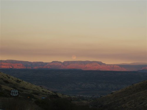
Moon Over Chino Valley
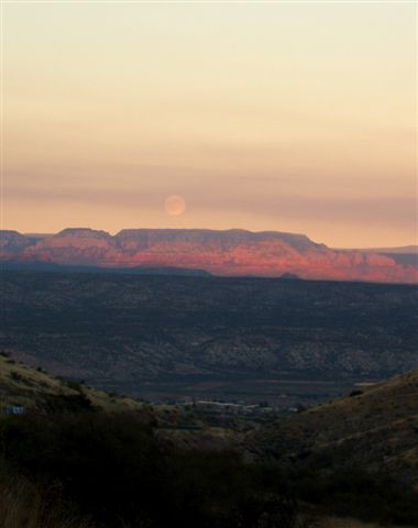
Moon over Chino Valley

grand canyon pics 001
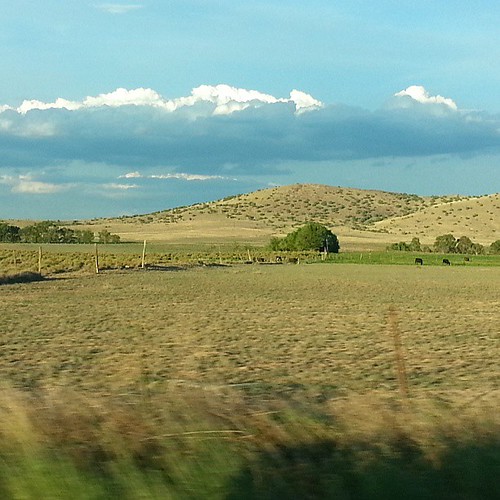
This is what Chino Valley, AZ looks like. #nofilter

Granite Mountain Monsoon

Horse and Rainbow
Topographic Map of Trev View, Paulden, AZ, USA
Find elevation by address:

Places near Trev View, Paulden, AZ, USA:
396 Peterson Rd
Paulden
765 W Gina Marie Blvd
Windy Hill Lane
21080 N Hackamore Ln
1475 E Oxbow Cir
1150 W Anasazi Sunset Trl
3941 Cole Lee Court
1434 E Florida Ln
3460 Gopher Dr
1310 Cottonwood Ln
1513 Windmill Way
1755 N Bottlebrush Dr
Chino Valley
AZ-89, Chino Valley, AZ, USA
5405 E Haystack Rd
2100 Touchstone Dr
2174 Touchstone Dr
Chino Valley, AZ, USA
368 Grafton Ct
Recent Searches:
- Elevation of Corso Fratelli Cairoli, 35, Macerata MC, Italy
- Elevation of Tallevast Rd, Sarasota, FL, USA
- Elevation of 4th St E, Sonoma, CA, USA
- Elevation of Black Hollow Rd, Pennsdale, PA, USA
- Elevation of Oakland Ave, Williamsport, PA, USA
- Elevation of Pedrógão Grande, Portugal
- Elevation of Klee Dr, Martinsburg, WV, USA
- Elevation of Via Roma, Pieranica CR, Italy
- Elevation of Tavkvetili Mountain, Georgia
- Elevation of Hartfords Bluff Cir, Mt Pleasant, SC, USA