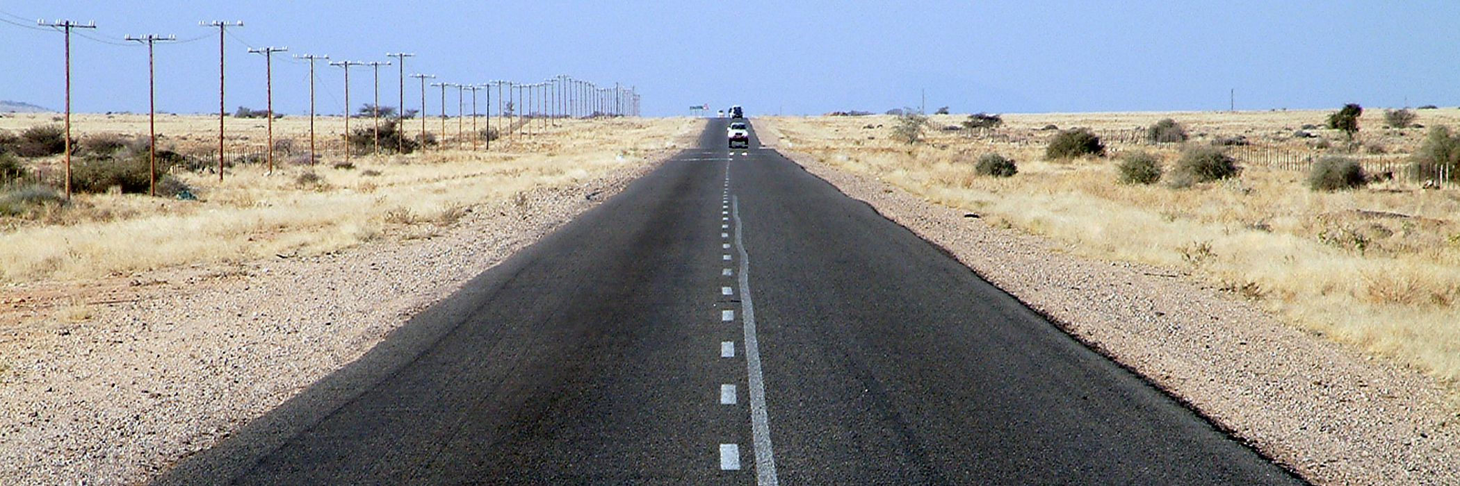
Elevation of Trekkopje, Namibia
Location: Namibia > Erongo Region >
Longitude: 15.10248
Latitude: -22.29108
Elevation: 797m / 2615feet
Barometric Pressure: 92KPa
Elevation Map:
Satellite Map:
Related Photos:

Rössing mine, Namibia

Day 20: Swakopmund - Spitzkoppe (via Goanikontes)
20040702-011na

20160328_090503_2_NIKON D4S

Rio Tinto bus and broken glass at the Rössing mine, Namibia

Returning to Swakopmund
Topographic Map of Trekkopje, Namibia
Find elevation by address:

Places near Trekkopje, Namibia:
Recent Searches:
- Elevation of Corso Fratelli Cairoli, 35, Macerata MC, Italy
- Elevation of Tallevast Rd, Sarasota, FL, USA
- Elevation of 4th St E, Sonoma, CA, USA
- Elevation of Black Hollow Rd, Pennsdale, PA, USA
- Elevation of Oakland Ave, Williamsport, PA, USA
- Elevation of Pedrógão Grande, Portugal
- Elevation of Klee Dr, Martinsburg, WV, USA
- Elevation of Via Roma, Pieranica CR, Italy
- Elevation of Tavkvetili Mountain, Georgia
- Elevation of Hartfords Bluff Cir, Mt Pleasant, SC, USA