Elevation of Traundorf, Austria
Location: Austria > Carinthia > Völkermarkt District > Gemeinde Globasnitz >
Longitude: 14.72265
Latitude: 46.57806
Elevation: 504m / 1654feet
Barometric Pressure: 95KPa
Elevation Map:
Satellite Map:
Related Photos:

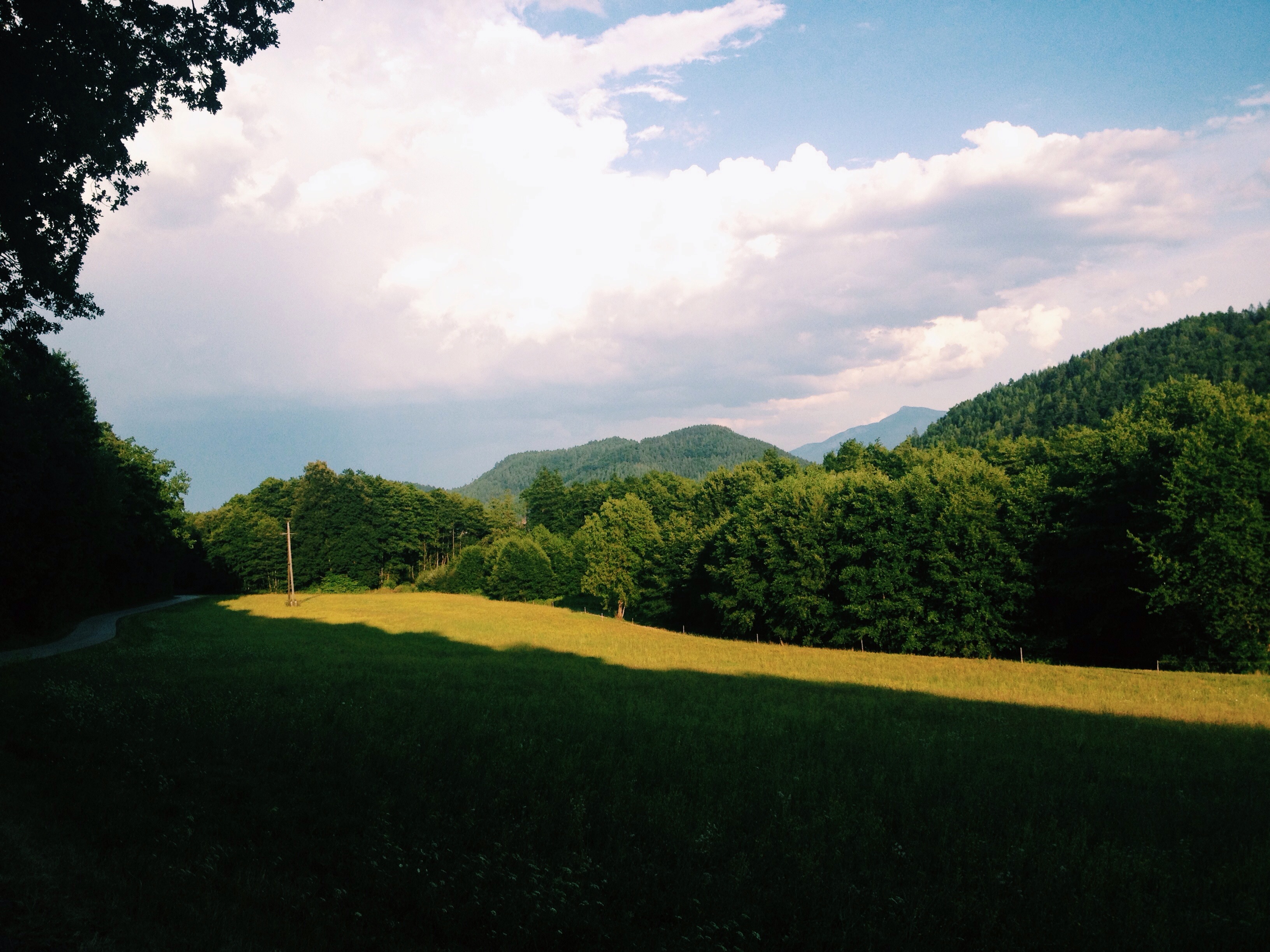
an autumn alley view to a hill part two

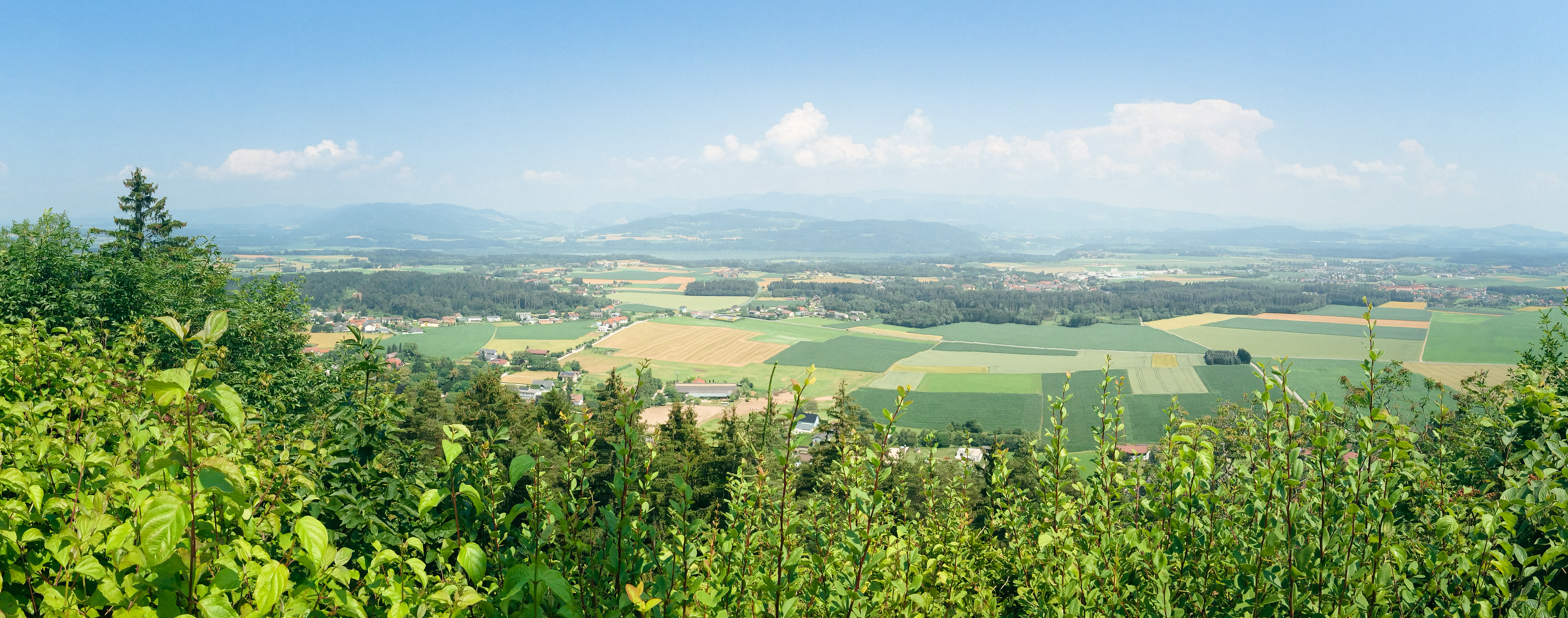
View from Petzen.

View from Petzen.

View from Petzen.

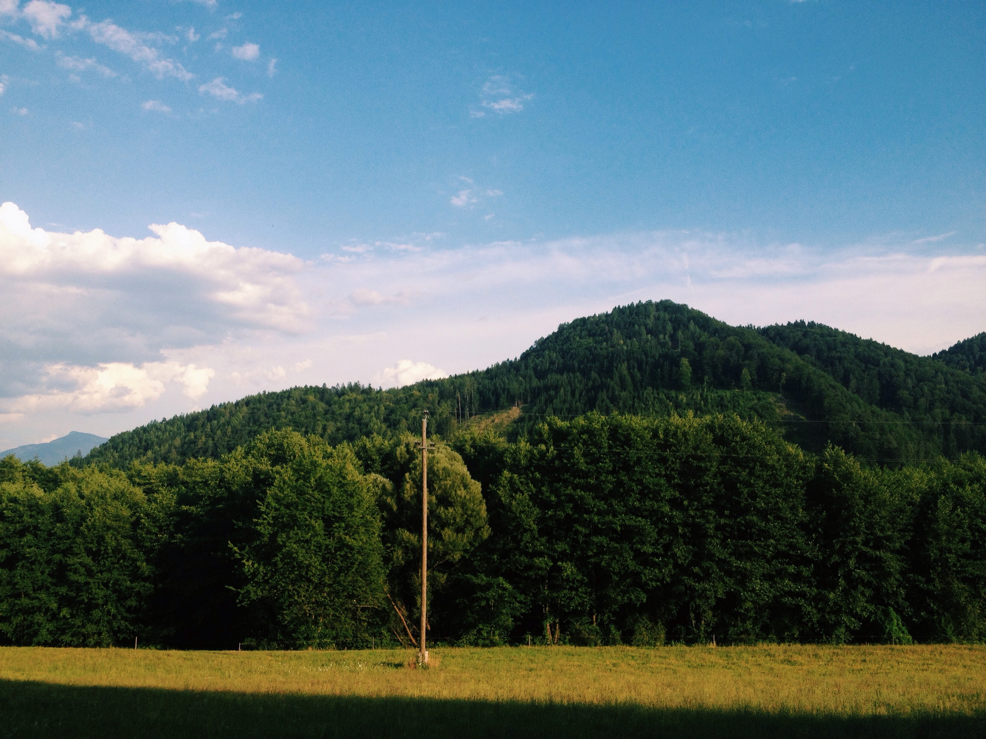
an autumn alley view to a hill part one

View from Petzen.

Nice View!

View from the Petzen.

View from Petzen.

View from the Petzen.

View from the Petzen.

View from the Petzen.

View from the Petzen.
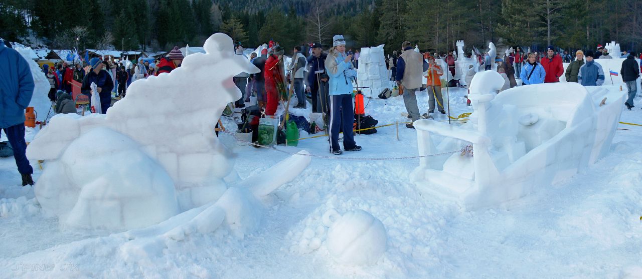
Water skiing on snow

Panorama view from Šentanel

View from the Petzen.

View from Petzen.

View from Petzen.

View from Petzen.

View from the Petzen.

View from the Petzen.

12:35
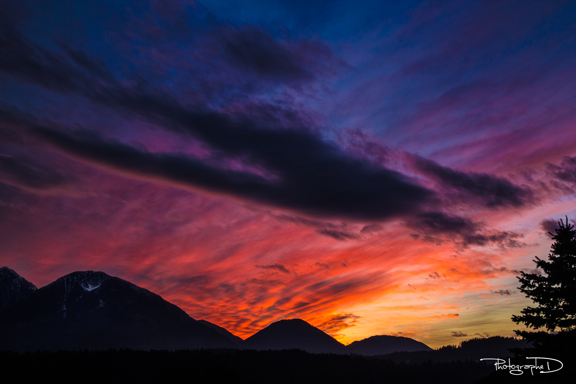
Multicolored Sunset behind Kleinobir [explored]

Scheckenfalter (Melitaea athalia)
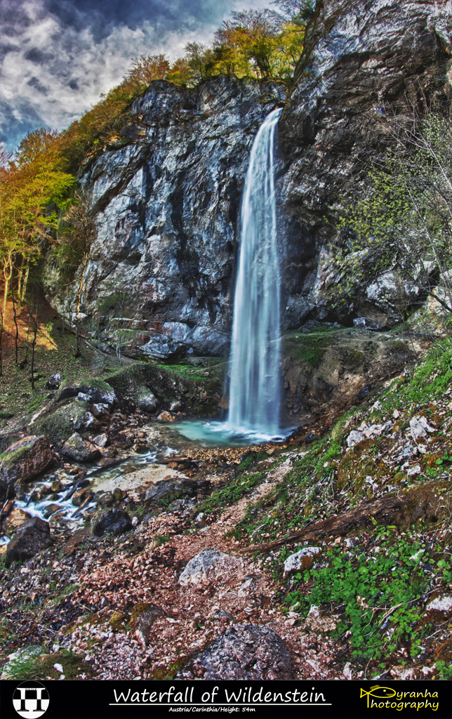
Waterfall of Wildenstein I

The Hochobir
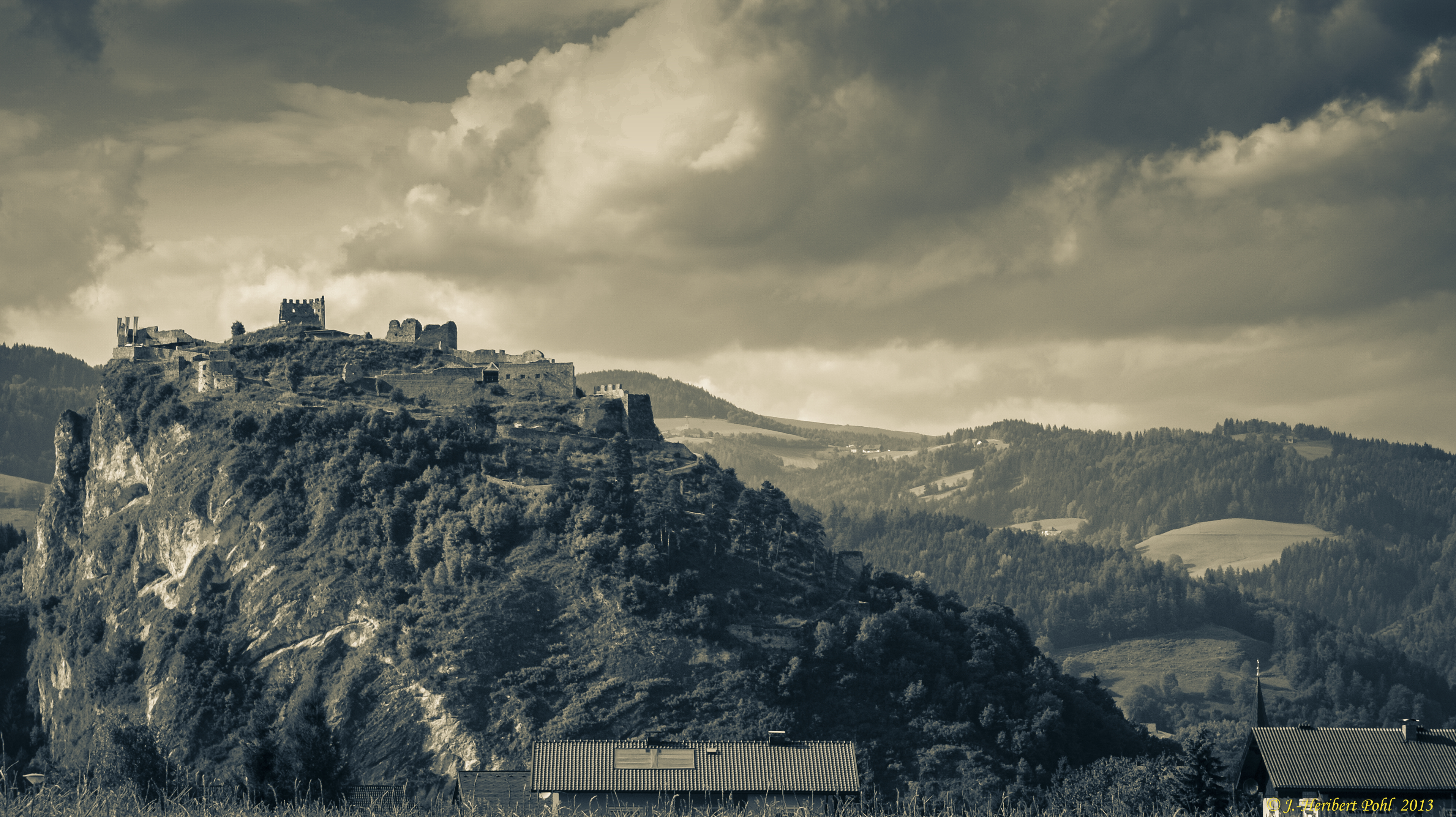
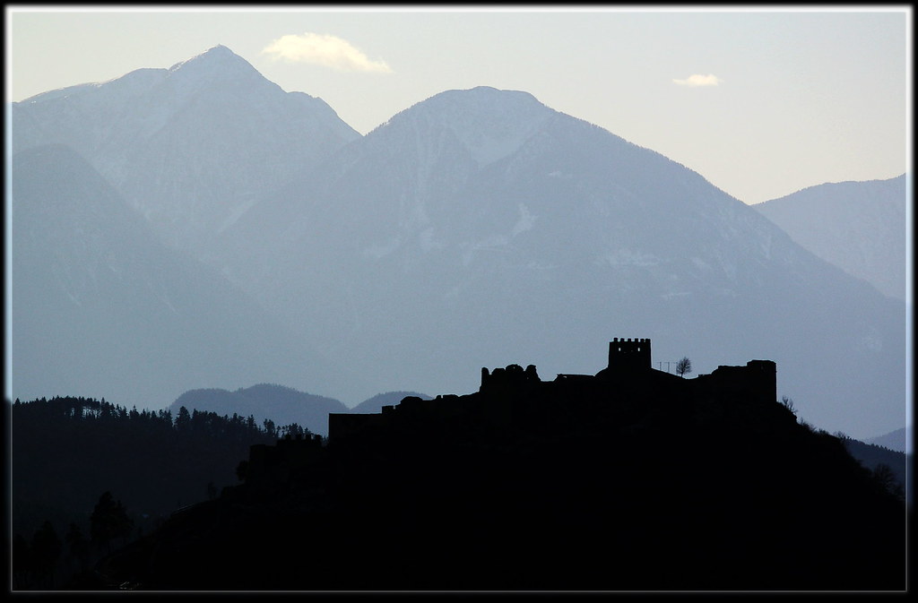
Burgruine Griffen in Kärnten, Österreich
.
.
Ruine Griffen
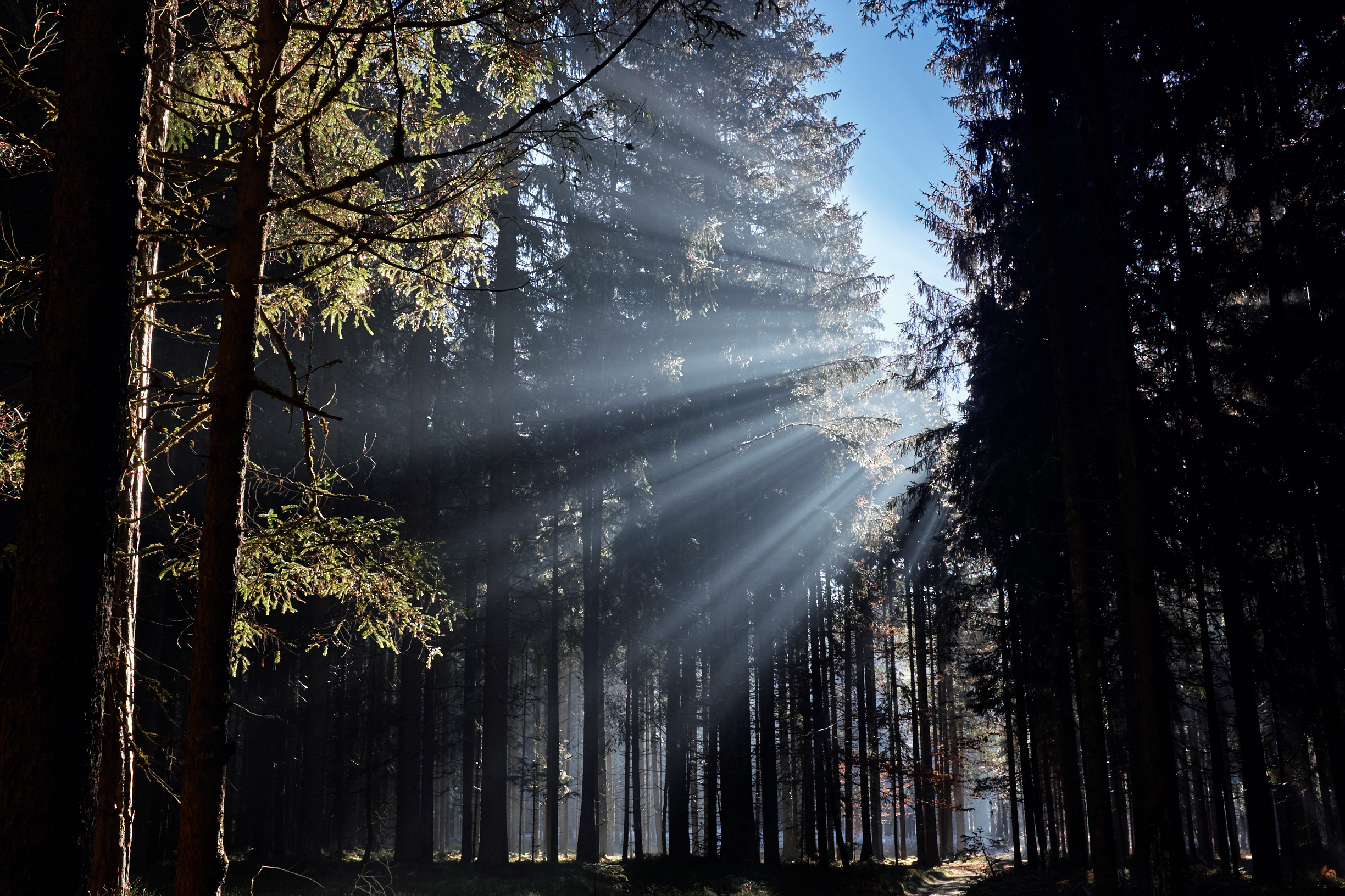
and here comes the light!

Dark skies over the valley
Klopeiner See
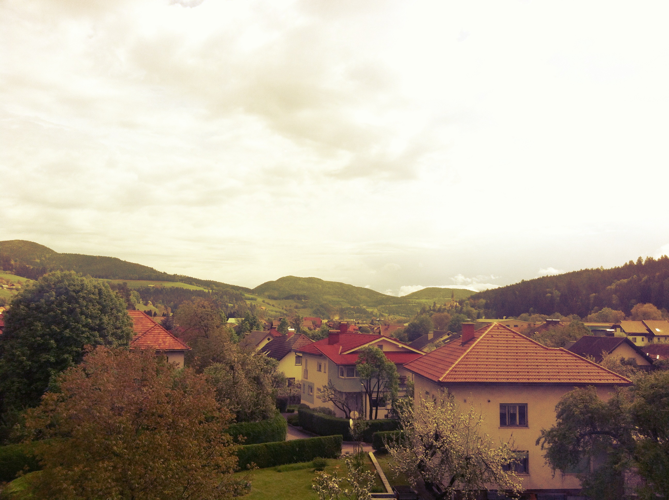
Spring in Prevalje
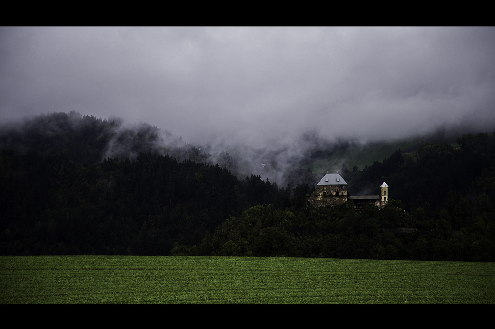
Haimburg Castle

2015-12-29 12.11.27.jpg
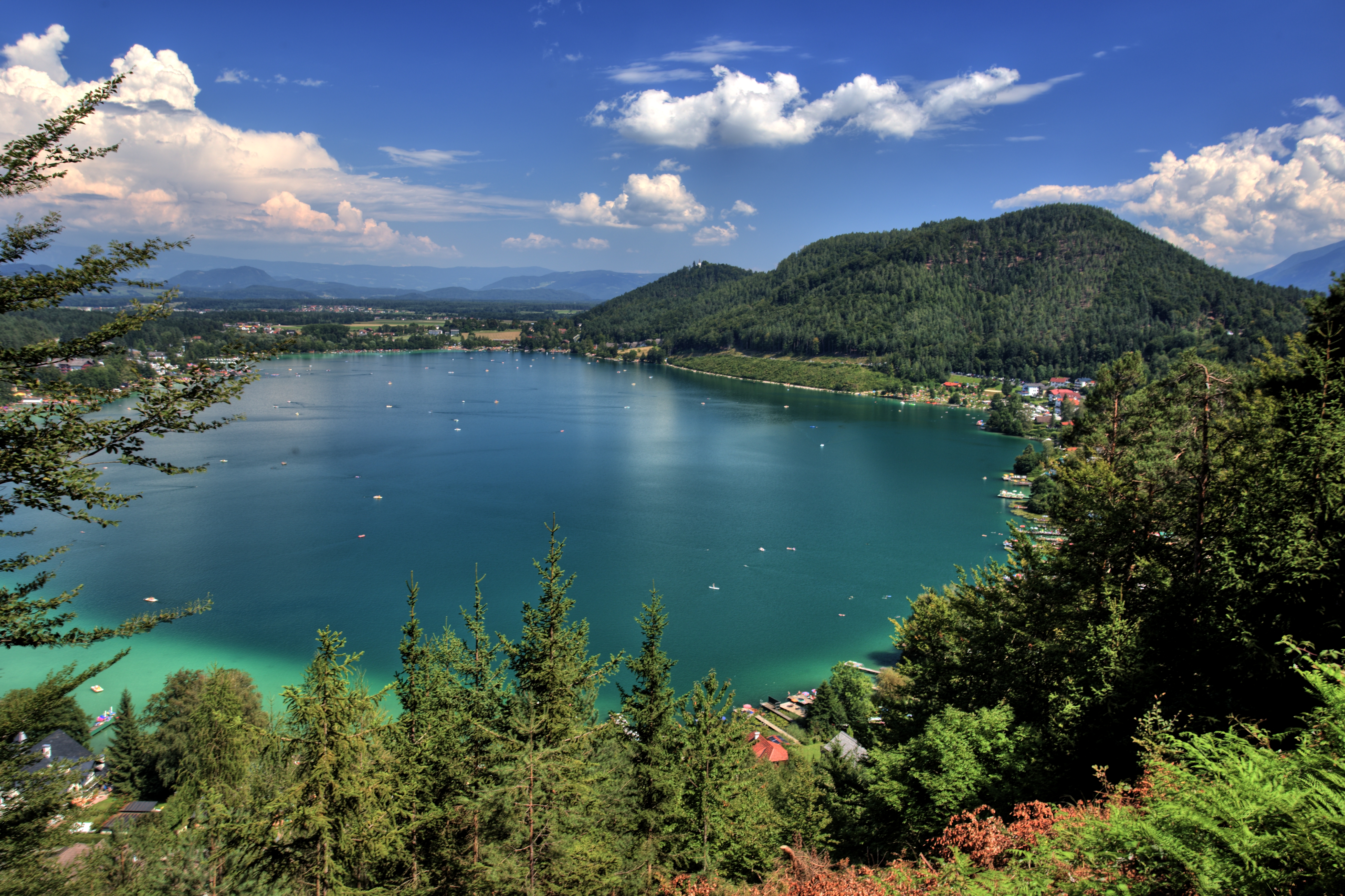
Klopeiner See

2015-12-28 14.16.32.jpg

2015-12-28 15.21.36.jpg

i see a storm come

That afternoon
Topographic Map of Traundorf, Austria
Find elevation by address:

Places in Traundorf, Austria:
Places near Traundorf, Austria:
Traundorf, Traundorf, Austria
Gemeinde Globasnitz
Ruttach 2, Ruttach, Austria
Bleiburg
Woroujach 10, Woroujach, Austria
B82 3
St. Georgen 8, St. Georgen, Austria
Duell 3, Austria
Grablach 7, Grablach, Austria
Hof 1, Austria
Völkermarkt District
Völkermarkt
Remschenig 27, Remschenig, Austria
Wunderstätten 36, Wunderstätten, Austria
Wunderstätten
Lichtenwald
Lichtenwald 9, Lichtenwald, Austria
Gemeinde Eisenkappel-vellach
Sankt Andrä
St. Ulrich 43, St. Ulrich am Johannserberg, Austria
Recent Searches:
- Elevation of Corso Fratelli Cairoli, 35, Macerata MC, Italy
- Elevation of Tallevast Rd, Sarasota, FL, USA
- Elevation of 4th St E, Sonoma, CA, USA
- Elevation of Black Hollow Rd, Pennsdale, PA, USA
- Elevation of Oakland Ave, Williamsport, PA, USA
- Elevation of Pedrógão Grande, Portugal
- Elevation of Klee Dr, Martinsburg, WV, USA
- Elevation of Via Roma, Pieranica CR, Italy
- Elevation of Tavkvetili Mountain, Georgia
- Elevation of Hartfords Bluff Cir, Mt Pleasant, SC, USA