Elevation map of Trat, Thailand
Location: Thailand >
Longitude: 102.517473
Latitude: 12.2427563
Elevation: 7m / 23feet
Barometric Pressure: 101KPa
Elevation Map:
Satellite Map:
Related Photos:
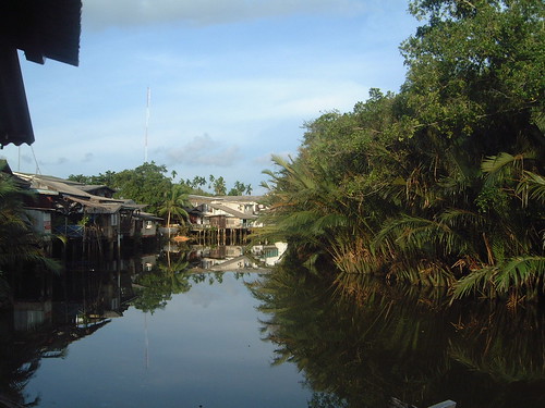
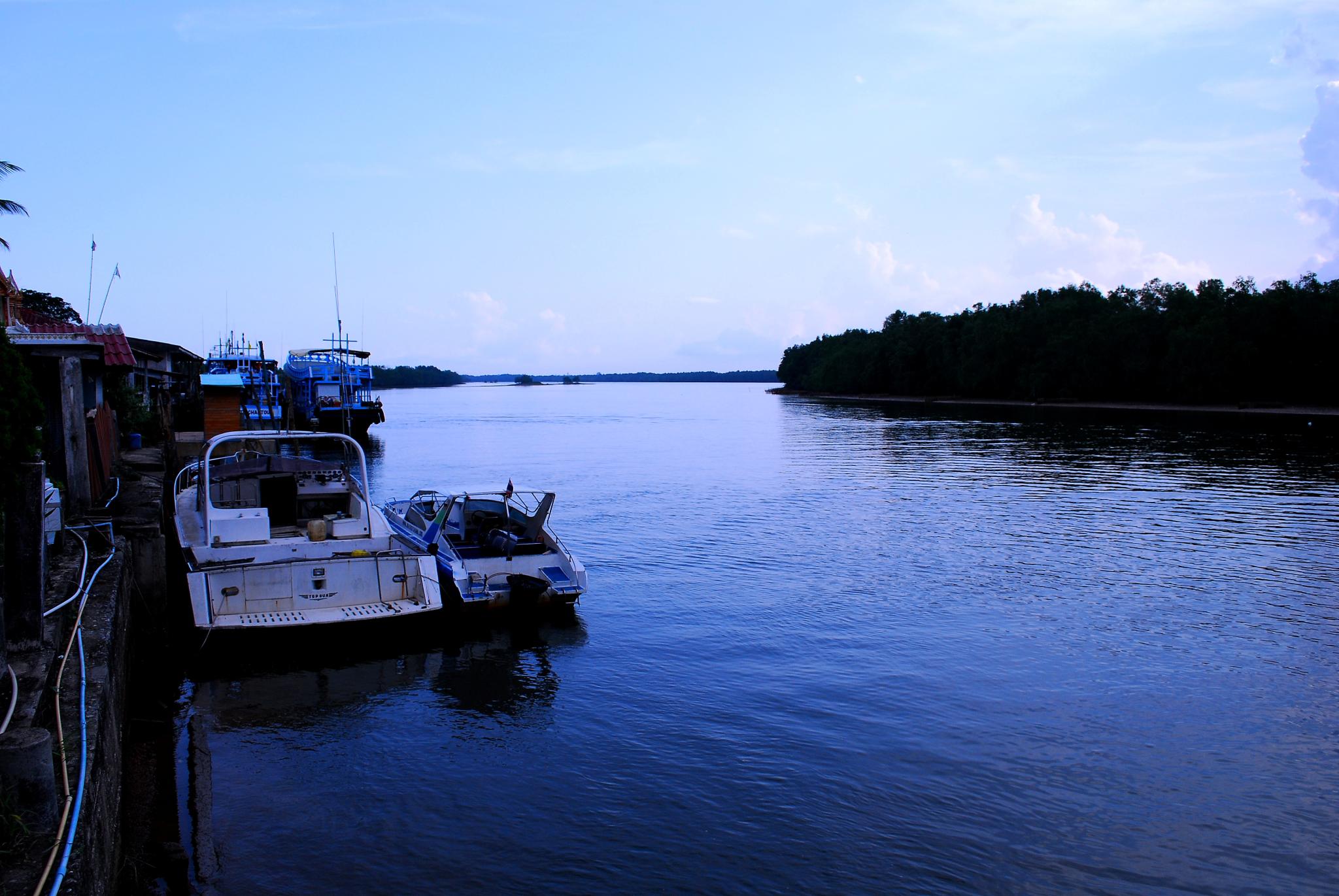
Trat - River View
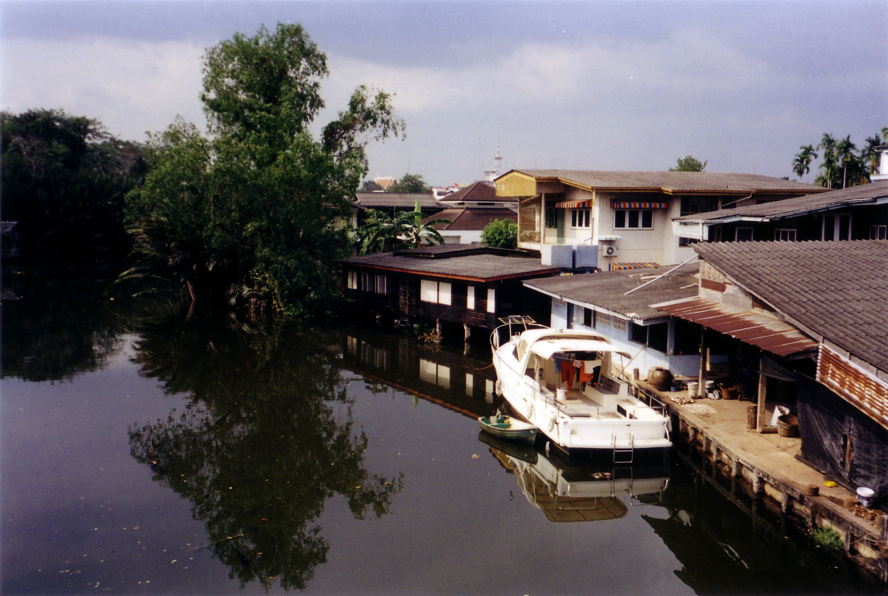
DSCF2266-scan
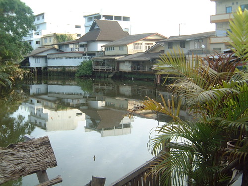
Trat - River View out my front door
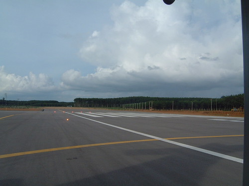
Trat - Bangkok Airwats - Private Runway

28-70(11)

28-70(1)
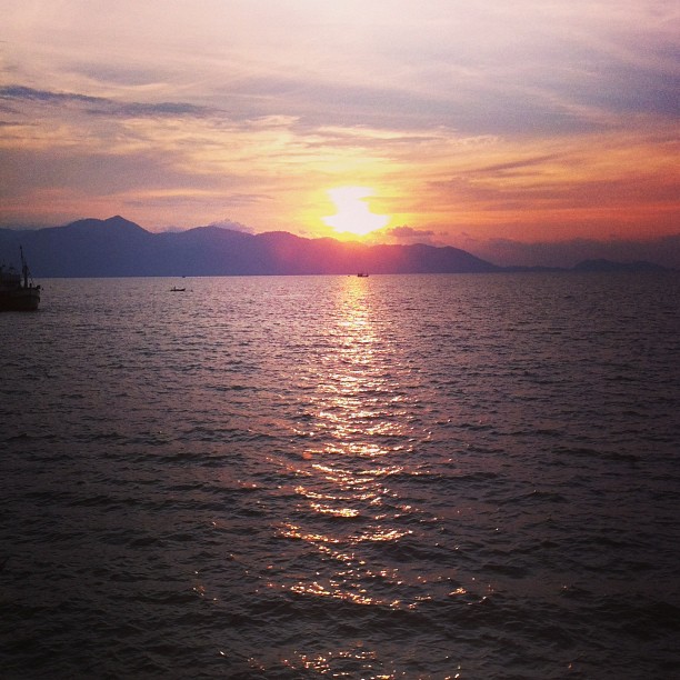
At the pier

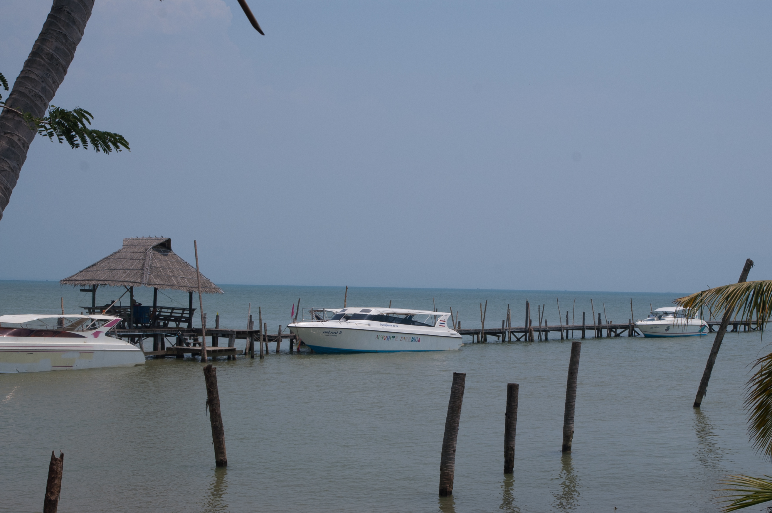
#canal #marsh #trat #thailand
แหลมงอบ

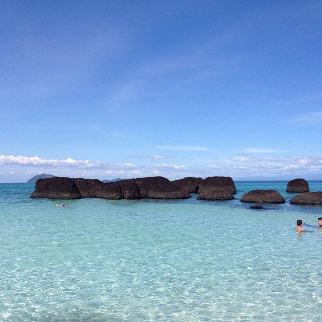
Another Incredible Day in Paradise on Koh Chang Island, Thailand!! We spent the entire day on Tour Boat cruising around to several other nearby Islands where we snorkeled by the coral reefs and played Frisbee on the beach!! These were Tropical Islands wit
Thai_C1-187.jpg
Another Island around Koh Mak. No...
Topographic Map of Trat, Thailand
Find elevation by address:

Places near Trat, Thailand:
Recent Searches:
- Elevation of Corso Fratelli Cairoli, 35, Macerata MC, Italy
- Elevation of Tallevast Rd, Sarasota, FL, USA
- Elevation of 4th St E, Sonoma, CA, USA
- Elevation of Black Hollow Rd, Pennsdale, PA, USA
- Elevation of Oakland Ave, Williamsport, PA, USA
- Elevation of Pedrógão Grande, Portugal
- Elevation of Klee Dr, Martinsburg, WV, USA
- Elevation of Via Roma, Pieranica CR, Italy
- Elevation of Tavkvetili Mountain, Georgia
- Elevation of Hartfords Bluff Cir, Mt Pleasant, SC, USA