Elevation of Transport Grayson, QC-, Danville, QC J0A, Canada
Location: Canada > Québec > Asbestos > Danville >
Longitude: -72.024745
Latitude: 45.7786101
Elevation: 145m / 476feet
Barometric Pressure: 100KPa
Elevation Map:
Satellite Map:
Related Photos:

Tortue serpentine / Common snapping turtle 153A8241

Tortue serpentine / Common Snapping Turtle IMG_2118

urban decay exploration urbaine Jeffrey Mine Asbestos Quebec

Tortue serpentine / Common Snapping Turtle" IMG_2131

The view for a nice bee * À vue d'abeille

2560x1600 R44-2 Rivière Saint-François River

1920x1080 R44-2 Rivière Saint-François River

1024x768 R44-2 Rivière Saint-François River

1280x1024 R44-2 Rivière Saint-François River

urban decay exploration urbaine Jeffrey Mine Asbestos Quebec

urban decay exploration urbaine Jeffrey Mine Asbestos Quebec

Burbank Pond view from an observation tower

Up goes the neighborhood
Cleveland PQ

x & y

Untitled-1-(rock-path)

UNE DES CHUTES DE KINSEY FALLS
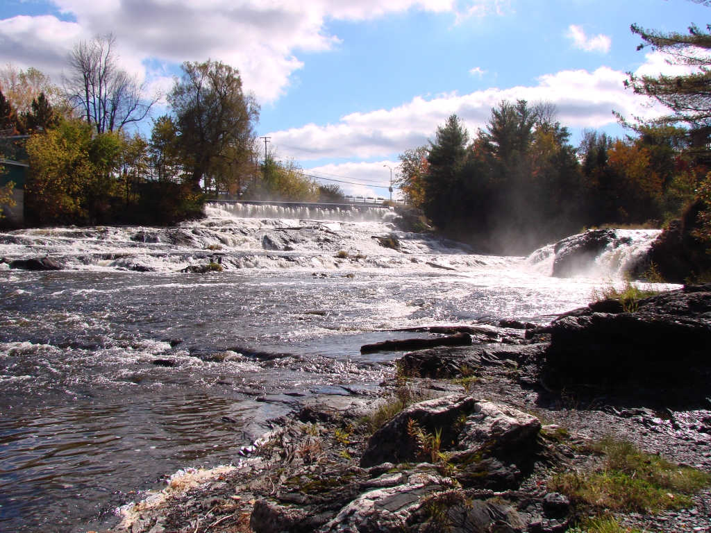
DEUX DES CHUTES DE KINSEY FALLS

Country Road in Fall

Vendanges 4

Red flash !!!

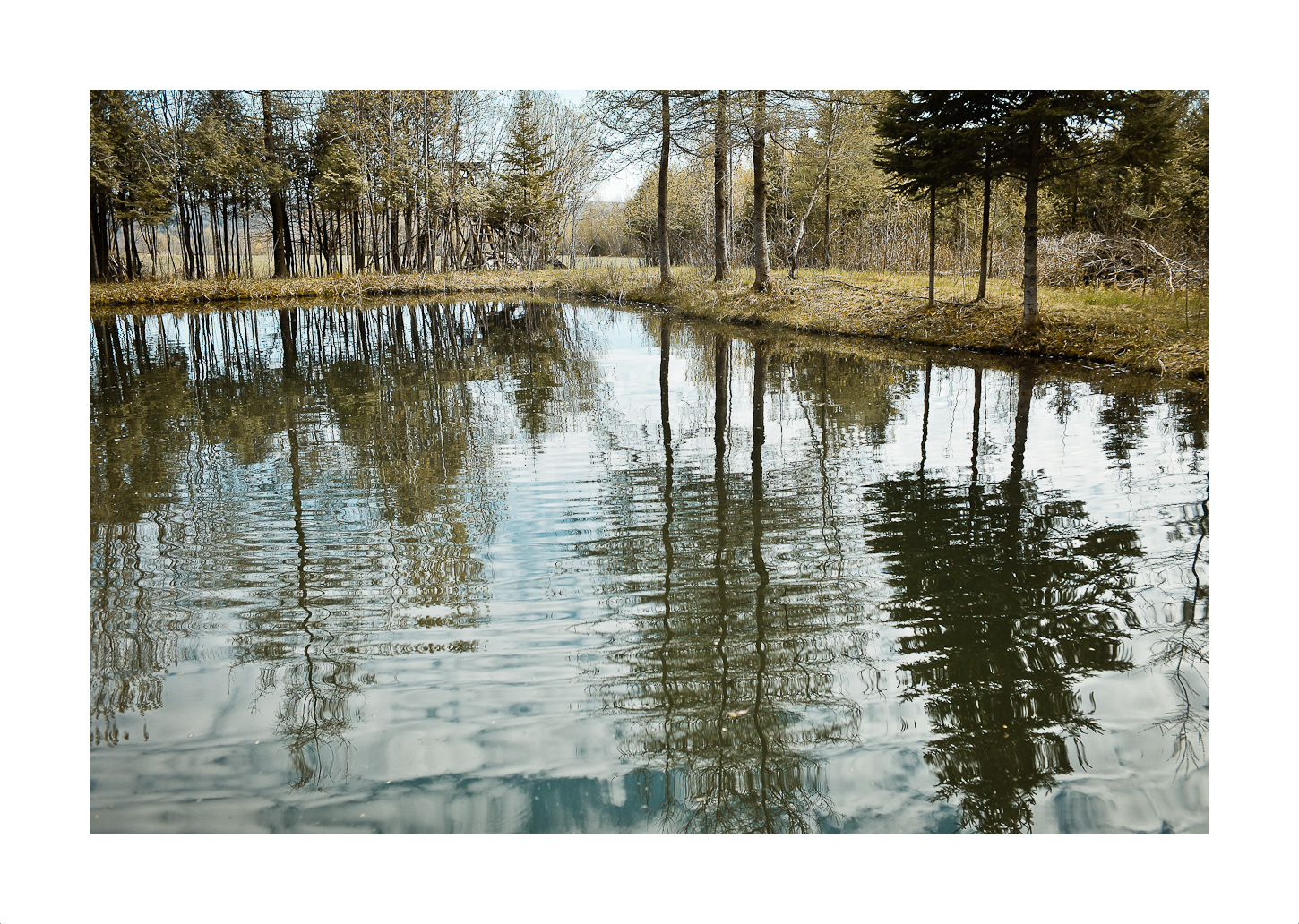
One Sunset Pond

Skiing at dawn.

Râle de Virginie / Virginia Rail IMG_9924

Paruline masquée / Common Yellowthroat IMG_2453

Un trou fait par l'homme / A Man Made Hole

SB090002-E.jpg

La Mine D'Amiante Jeffrey D'Asbestos.

Asbestos, QC

Une Vue Sur La Mine D'Amiante Jeffrey D'Asbestos, 2013-09-05 15.30.39

Asbestos, QC

Canada Geese

SB090027E.jpg

Chutes (3)
Topographic Map of Transport Grayson, QC-, Danville, QC J0A, Canada
Find elevation by address:

Places near Transport Grayson, QC-, Danville, QC J0A, Canada:
Danville
100 Chemin Cleveland
Chemin St Cyr, Cleveland, QC J0B, Canada
Chemin Denison, Danville, QC J0A, Canada
Asbestos
170 Rue Martel
253 9e Ave
Cleveland
Route de l'Église, Saint-Georges-de-Windsor, QC J0A 1J0, Canada
Saint-claude
122 Rue Dusseault
Saint-claude
Arthabaska Regional County Municipality
J0b 2h0
Saint-félix-de-kingsey
Richmond
Warwick
QC-, Cleveland, QC J0B, Canada
Saint-félix-de-kingsey
Club De Golf Richmond-melbourne Inc
Recent Searches:
- Elevation of Corso Fratelli Cairoli, 35, Macerata MC, Italy
- Elevation of Tallevast Rd, Sarasota, FL, USA
- Elevation of 4th St E, Sonoma, CA, USA
- Elevation of Black Hollow Rd, Pennsdale, PA, USA
- Elevation of Oakland Ave, Williamsport, PA, USA
- Elevation of Pedrógão Grande, Portugal
- Elevation of Klee Dr, Martinsburg, WV, USA
- Elevation of Via Roma, Pieranica CR, Italy
- Elevation of Tavkvetili Mountain, Georgia
- Elevation of Hartfords Bluff Cir, Mt Pleasant, SC, USA