Elevation of Trans-Canada Hwy, Val Côté, ON P0L 2E0, Canada
Location: Canada > Ontario > Cochrane District > Mattice-val Côté > Val Côté >
Longitude: -83.403153
Latitude: 49.6431319
Elevation: 250m / 820feet
Barometric Pressure: 98KPa
Elevation Map:
Satellite Map:
Related Photos:
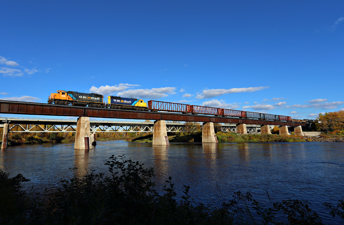
Ontario Northland - Mattice, Ontario
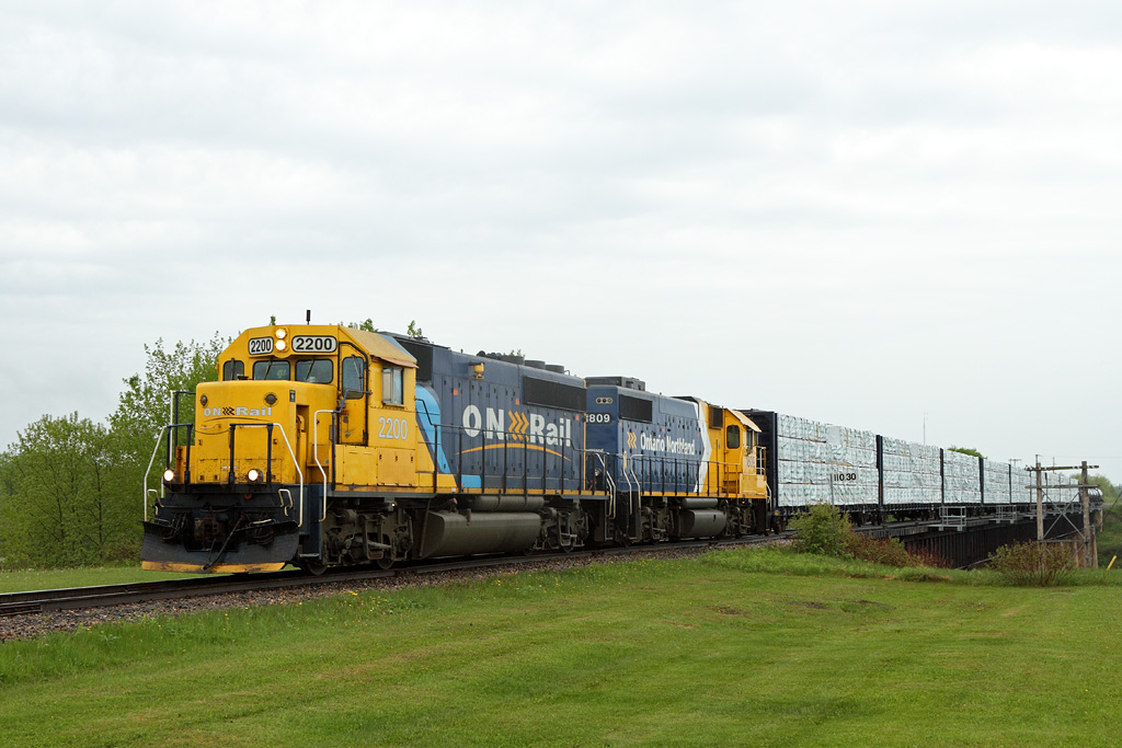
ONT 516-04, 2200 South
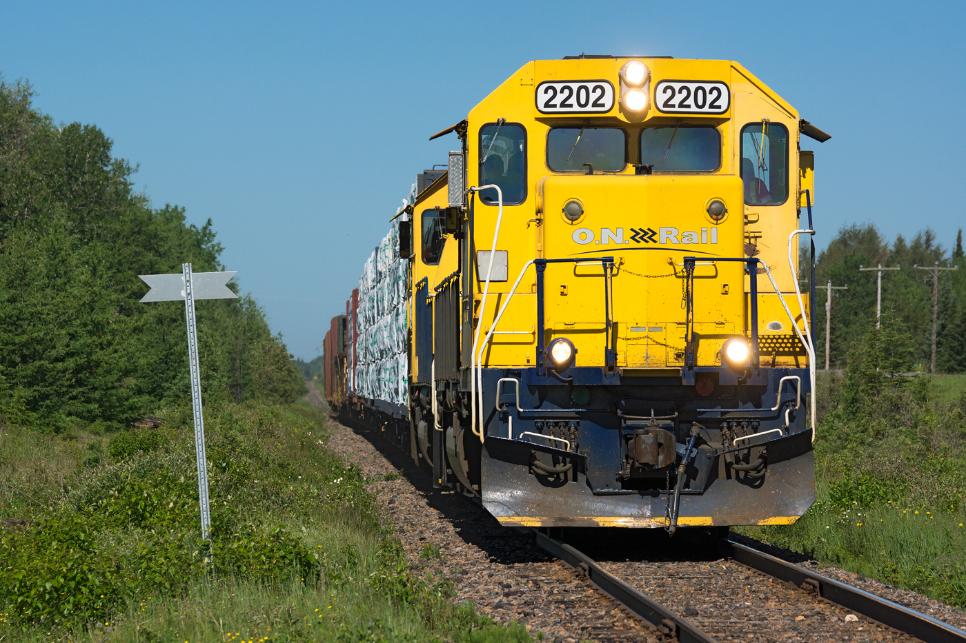
ONR 516 @ Hearst, ON
Topographic Map of Trans-Canada Hwy, Val Côté, ON P0L 2E0, Canada
Find elevation by address:

Places near Trans-Canada Hwy, Val Côté, ON P0L 2E0, Canada:
Val Côté
Mattice-val Côté
King St, Mattice, ON P0L, Canada
Mattice
Hearst
Unorganized North Cochrane District
Cochrane District
Recent Searches:
- Elevation of Corso Fratelli Cairoli, 35, Macerata MC, Italy
- Elevation of Tallevast Rd, Sarasota, FL, USA
- Elevation of 4th St E, Sonoma, CA, USA
- Elevation of Black Hollow Rd, Pennsdale, PA, USA
- Elevation of Oakland Ave, Williamsport, PA, USA
- Elevation of Pedrógão Grande, Portugal
- Elevation of Klee Dr, Martinsburg, WV, USA
- Elevation of Via Roma, Pieranica CR, Italy
- Elevation of Tavkvetili Mountain, Georgia
- Elevation of Hartfords Bluff Cir, Mt Pleasant, SC, USA