Elevation of Toyotomi, Teshio District, Hokkaido Prefecture, Japan
Location: Japan > Hokkaido Prefecture > Teshio District >
Longitude: 141.777504
Latitude: 45.1029329
Elevation: 14m / 46feet
Barometric Pressure: 101KPa
Elevation Map:
Satellite Map:
Related Photos:
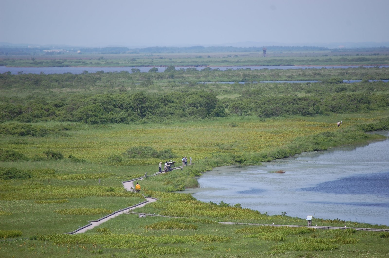
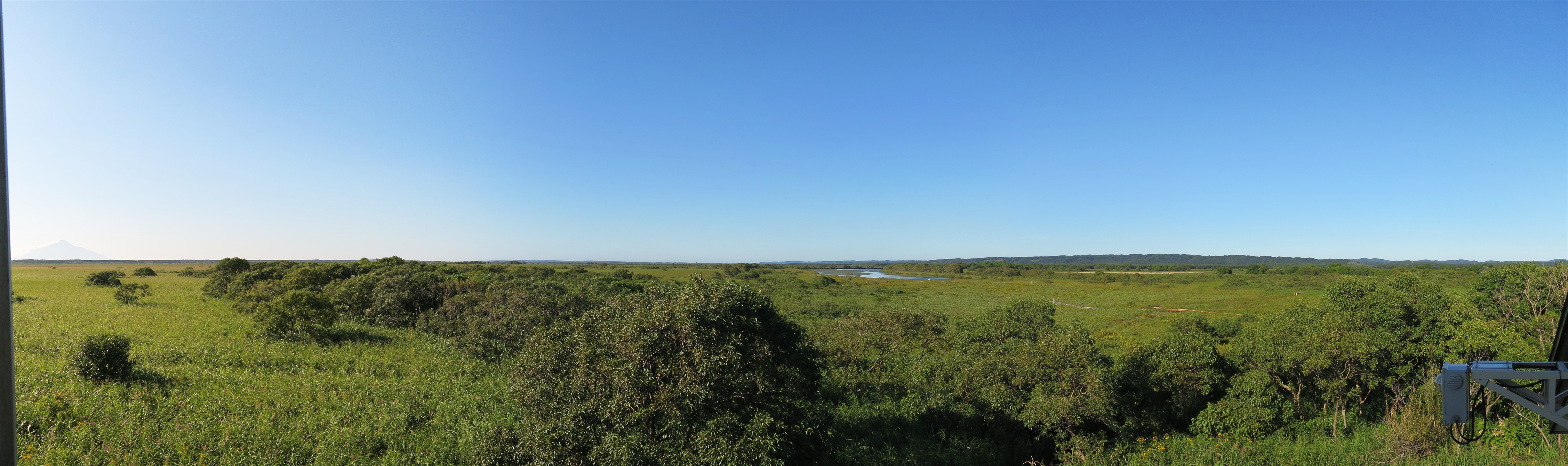
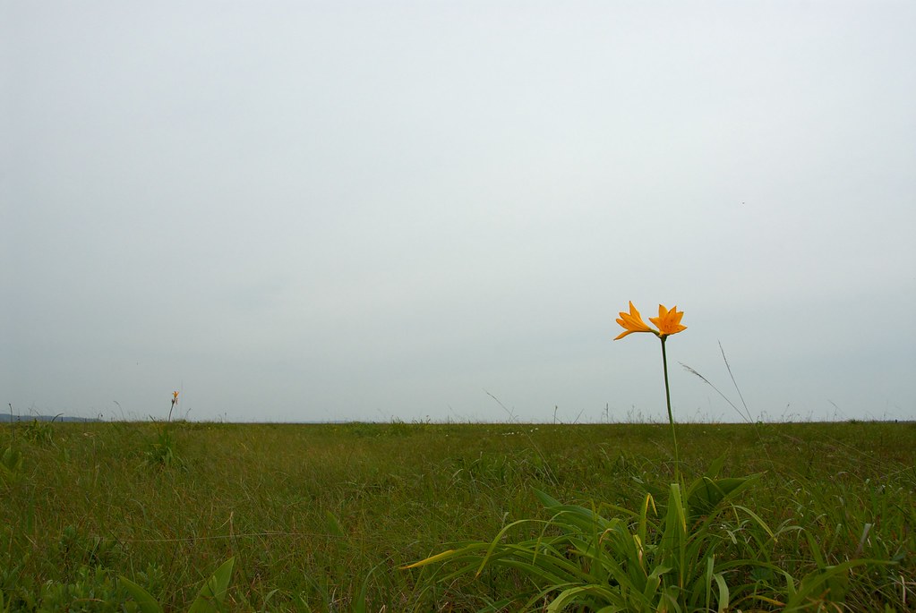
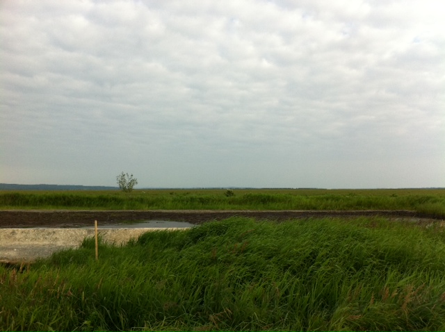
View over Sarobetsu Marshes
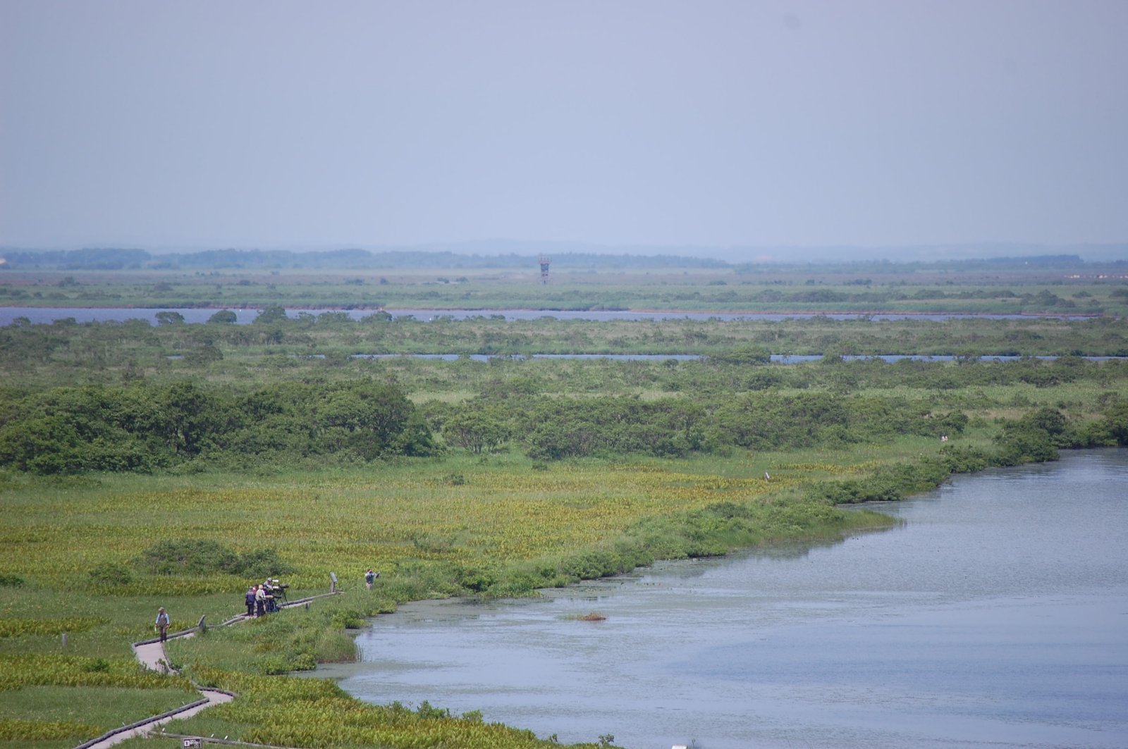
View over Sarobetsu Marshes
オトンルイ・Rishiri Island viewed from Otonrui

19930817-0818-09

19930817-0818-08
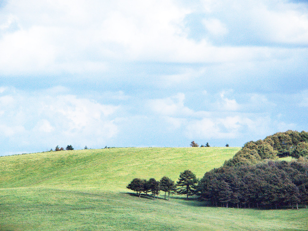
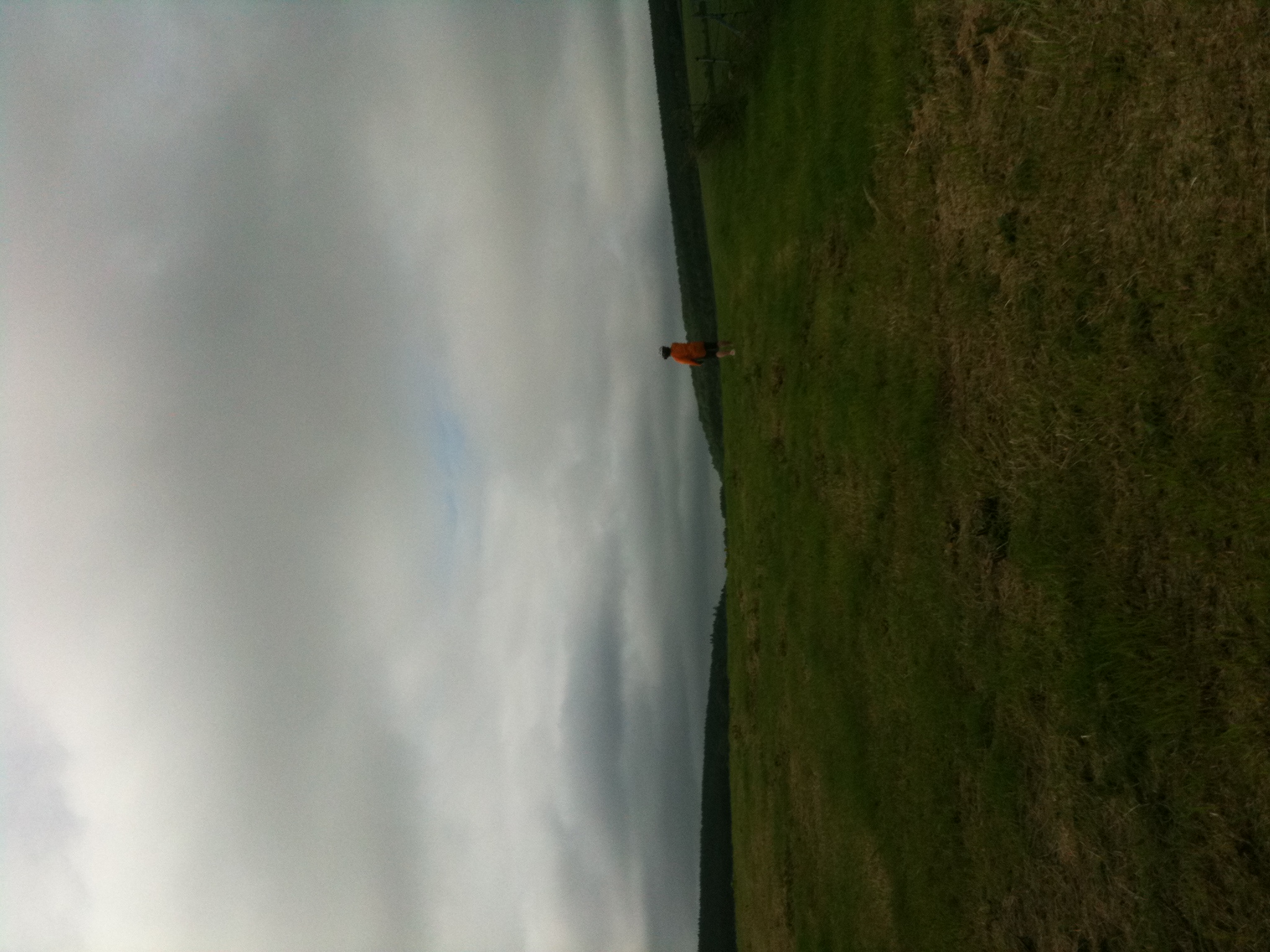
豊富町 / 大規模草地牧場の丘陵

豊富町 / 大規模草地牧場の丘陵

19930817-0818-11
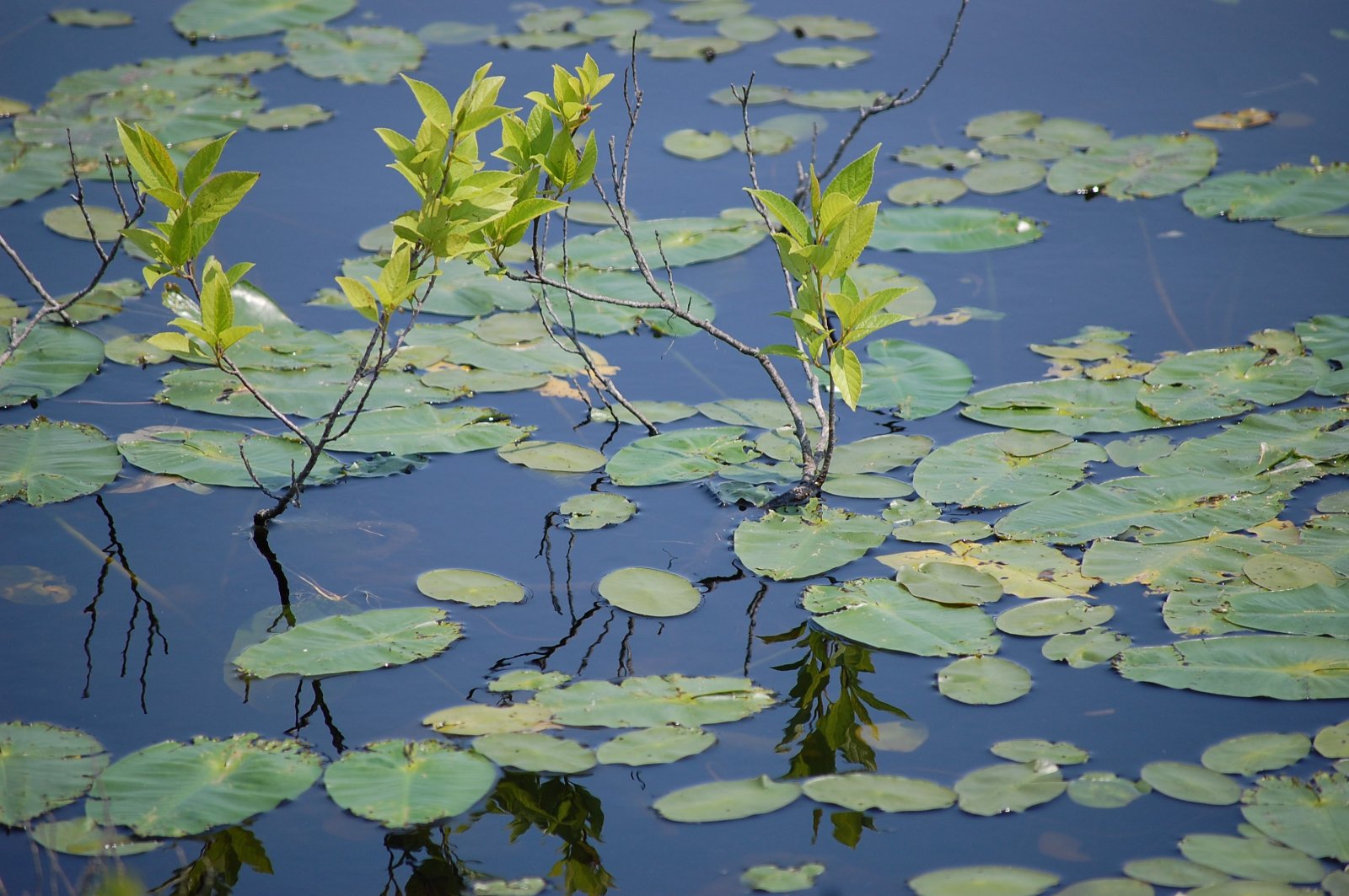
Water Plants

GRIII-0010453
IMG_0914 - IMG_0918_R
広々だね~
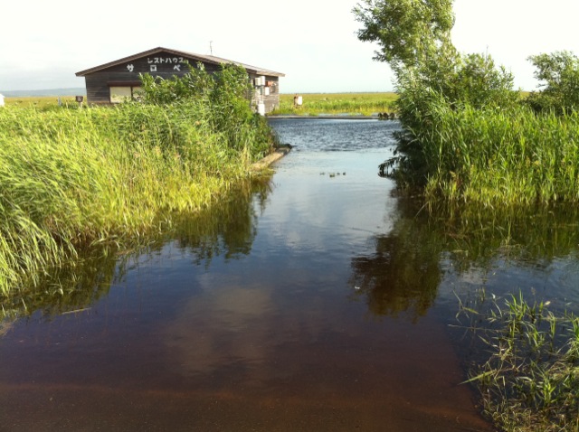
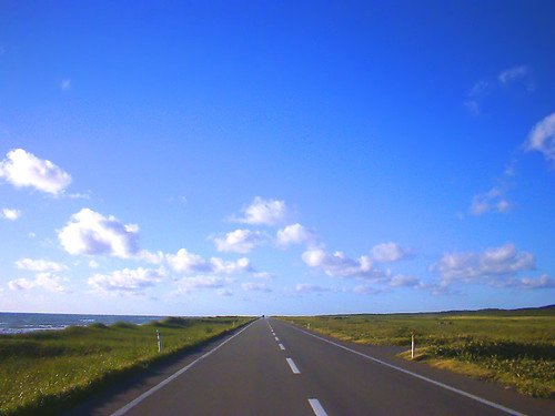
サロベツ原生花園
Sarobetsu plain
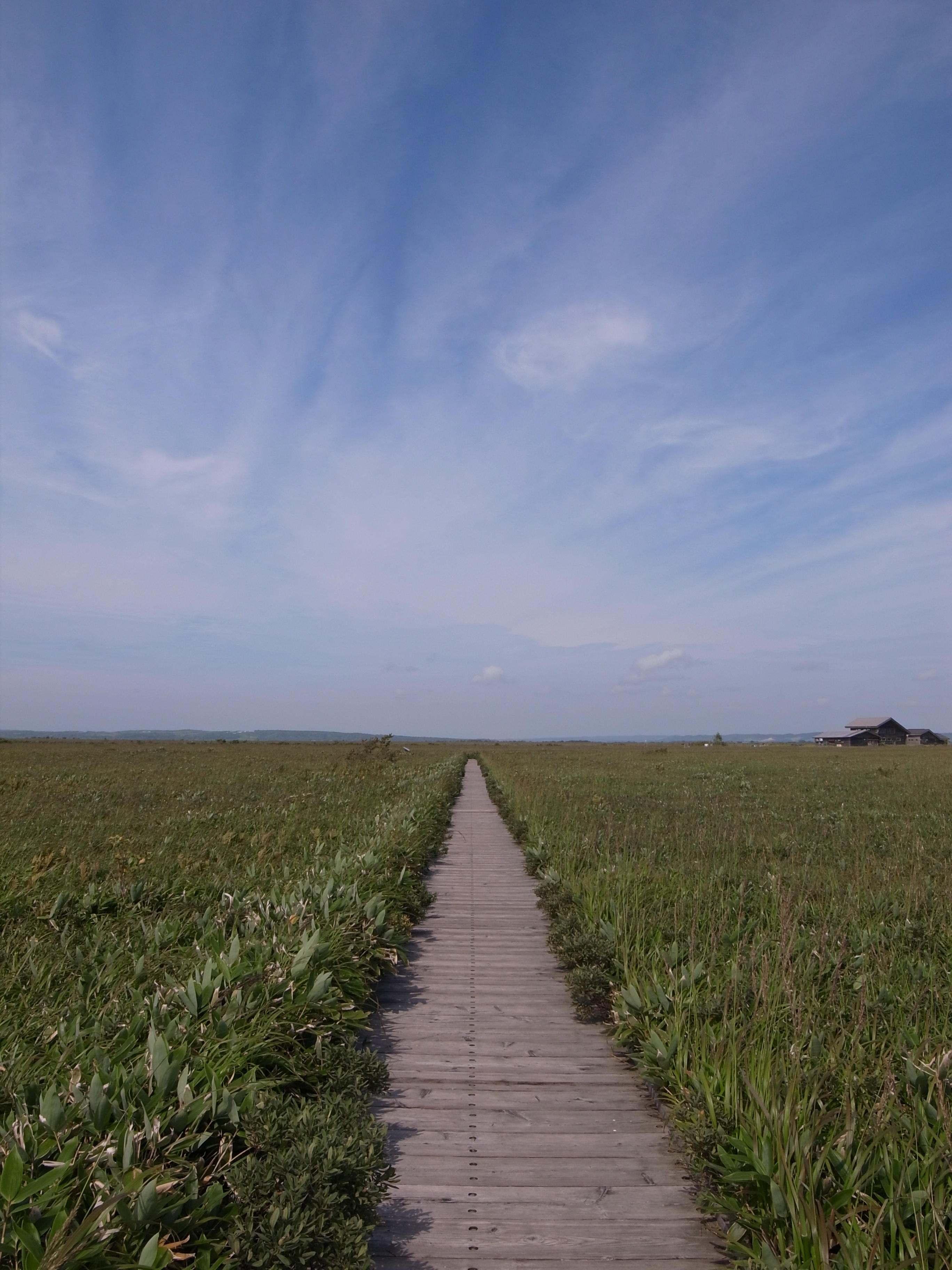
サロベツ原生花園
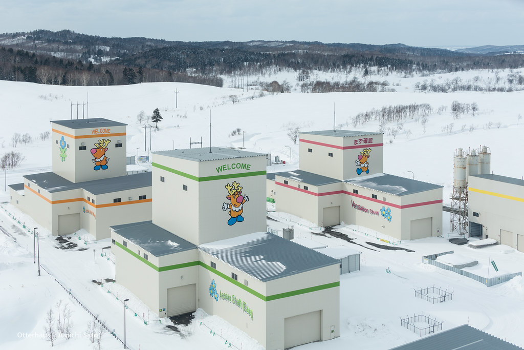
Horonobe underground research center
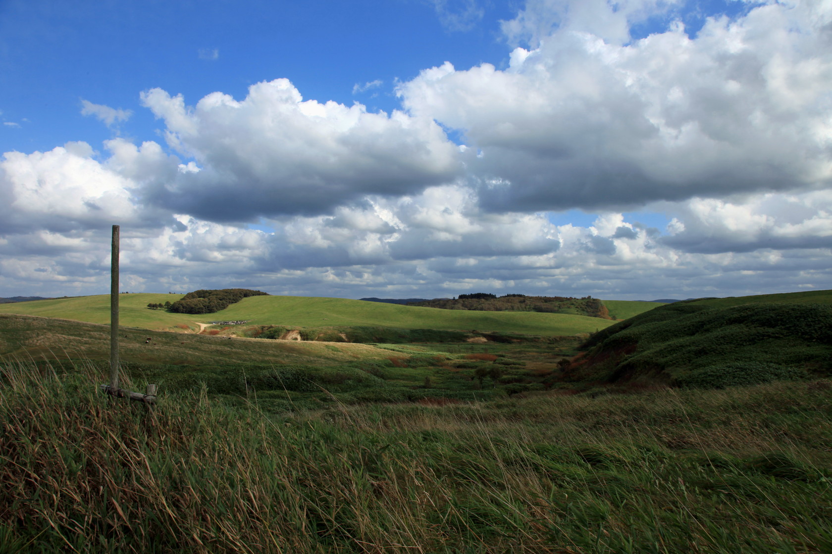
大規模草地牧場 [天塩郡/豊富町]
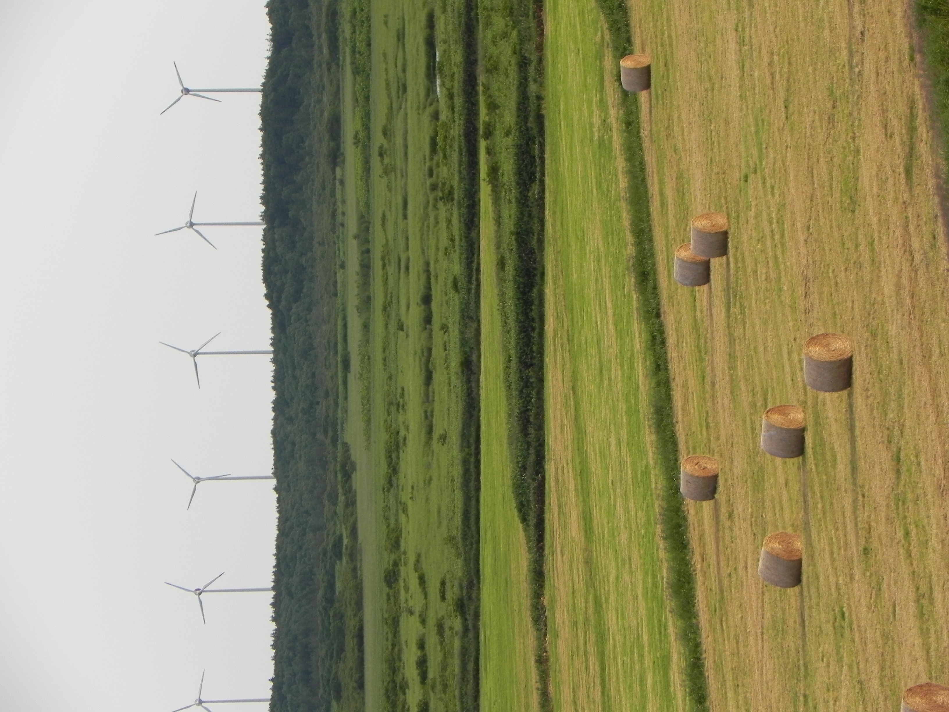
Windy hay
北へ北へ
サロベツ原生花園跡?

サロベツ原生花園
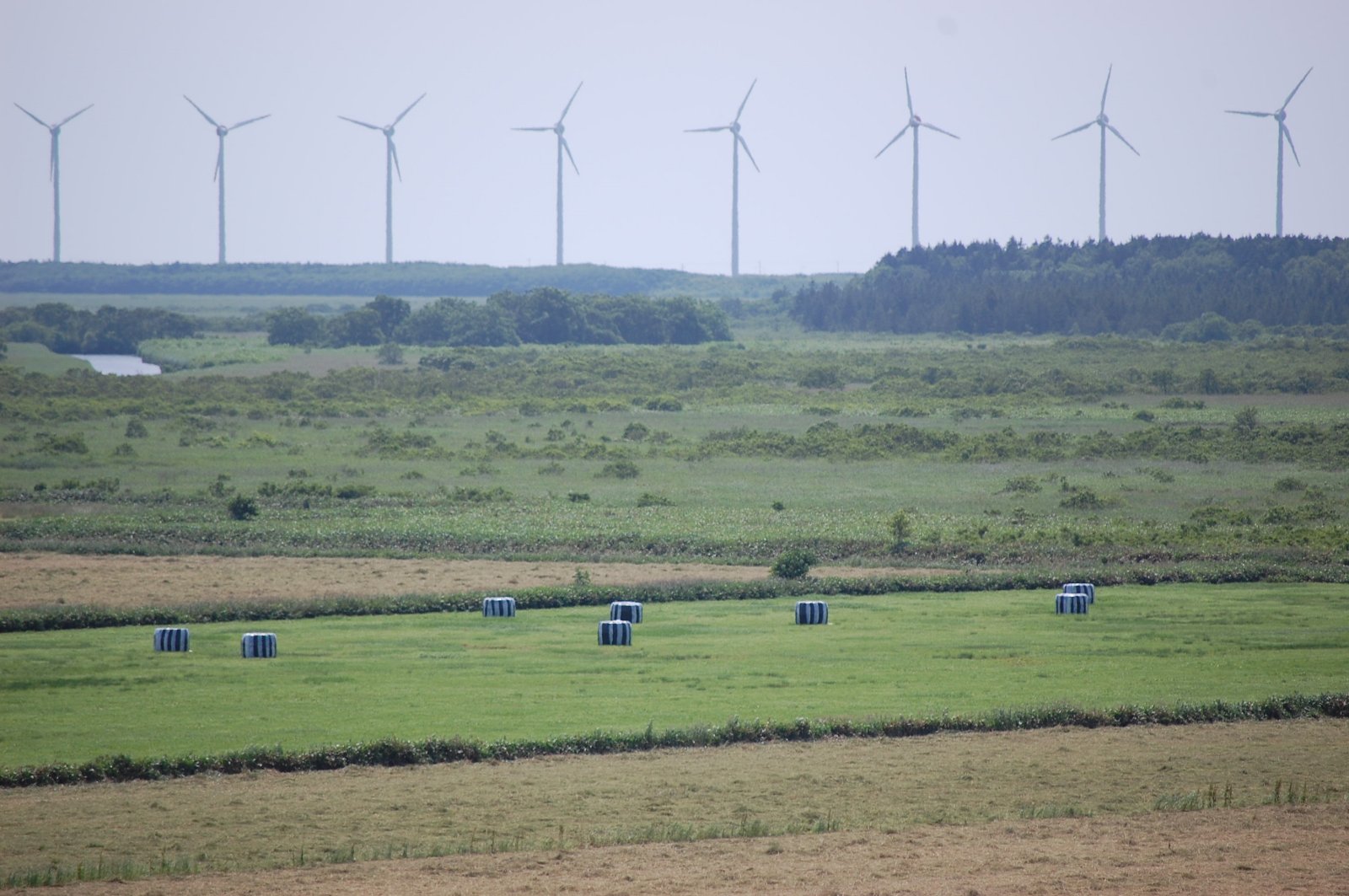
Windmill Skyline

牛
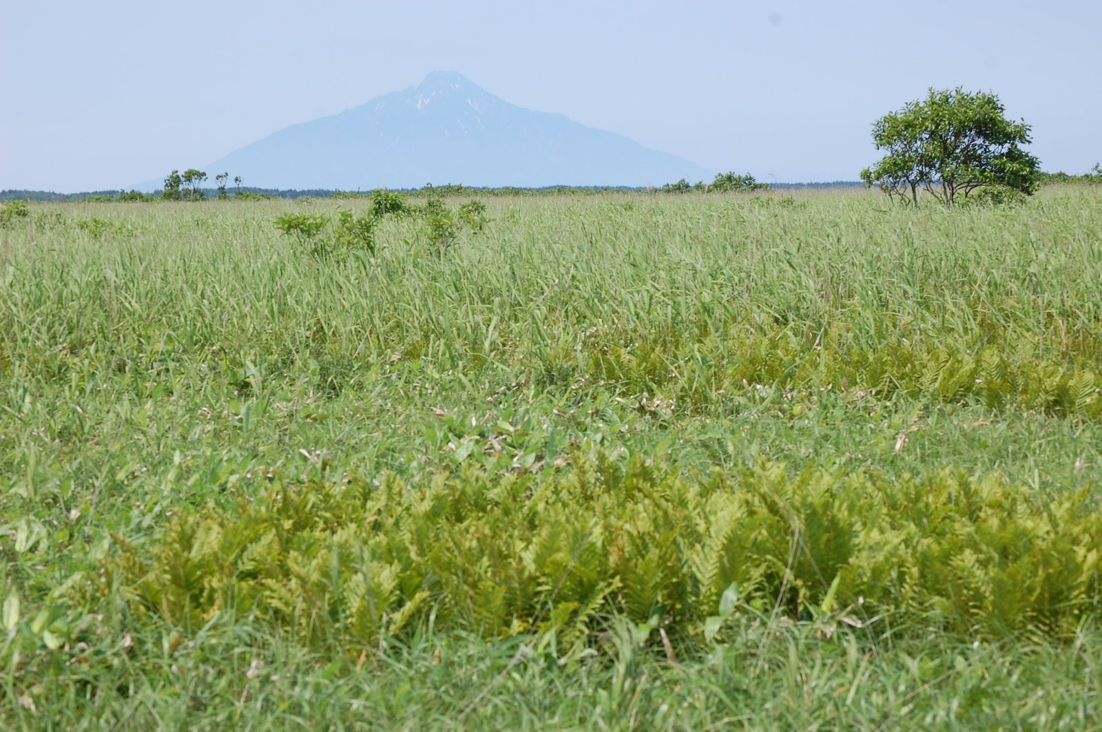
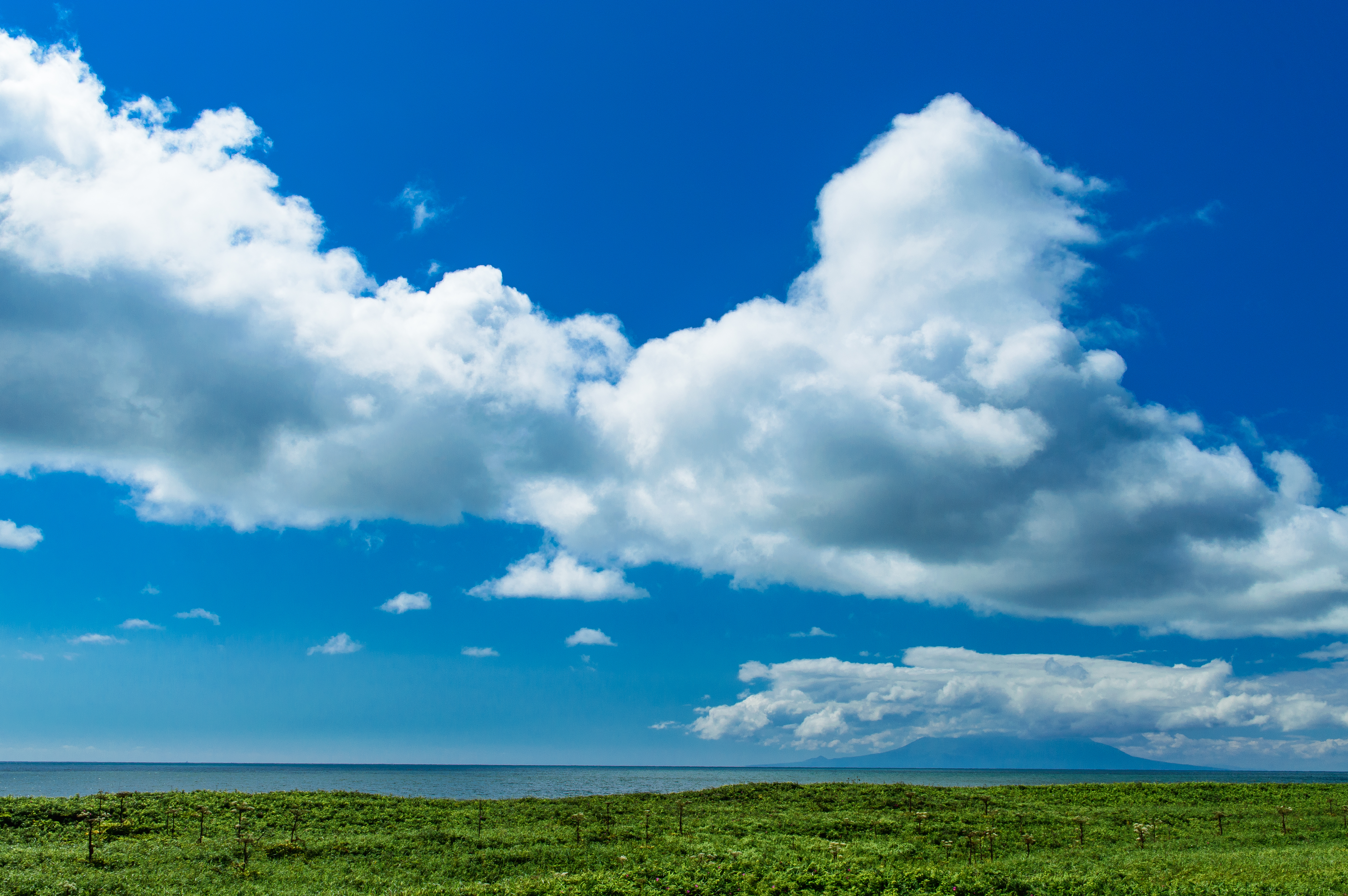
Mount Rishiri over the Marshes
Topographic Map of Toyotomi, Teshio District, Hokkaido Prefecture, Japan
Find elevation by address:

Places in Toyotomi, Teshio District, Hokkaido Prefecture, Japan:
Places near Toyotomi, Teshio District, Hokkaido Prefecture, Japan:
Honryū, Toyotomi-chō, Teshio-gun, Hokkaidō -, Japan
Wakkanai
Rishiri District
Wannai Oshidomari
Wannai-88 Oshidomari, Rishirifuji-chō, Rishiri-gun, Hokkaidō -, Japan
Rishiri Island
Oshidomari
Rishirifuji
Tanetomichō- Kutsugata, Rishiri-chō, Rishiri-gun, Hokkaidō -, Japan
Rishiri
Rebun
Ponnaioro Kafukamura
Ponnaioro-95 Kafukamura
Rebun District
Funadomarimura
Rebun Island
Tefunefu-74 Funadomarimura, Rebun-chō, Rebun-gun, Hokkaidō -, Japan
Recent Searches:
- Elevation of Corso Fratelli Cairoli, 35, Macerata MC, Italy
- Elevation of Tallevast Rd, Sarasota, FL, USA
- Elevation of 4th St E, Sonoma, CA, USA
- Elevation of Black Hollow Rd, Pennsdale, PA, USA
- Elevation of Oakland Ave, Williamsport, PA, USA
- Elevation of Pedrógão Grande, Portugal
- Elevation of Klee Dr, Martinsburg, WV, USA
- Elevation of Via Roma, Pieranica CR, Italy
- Elevation of Tavkvetili Mountain, Georgia
- Elevation of Hartfords Bluff Cir, Mt Pleasant, SC, USA