Elevation of Toyosato, Nozawaonsen-mura, Shimotakai-gun, Nagano-ken -, Japan
Location: Japan > Nagano Prefecture > Shimotakai District > Nozawaonsen >
Longitude: 138.452403
Latitude: 36.9283712
Elevation: 688m / 2257feet
Barometric Pressure: 93KPa
Elevation Map:
Satellite Map:
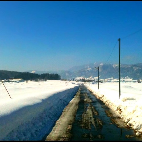
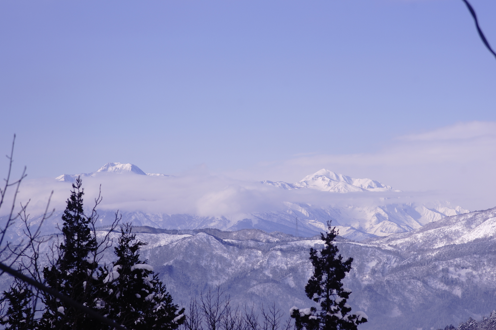
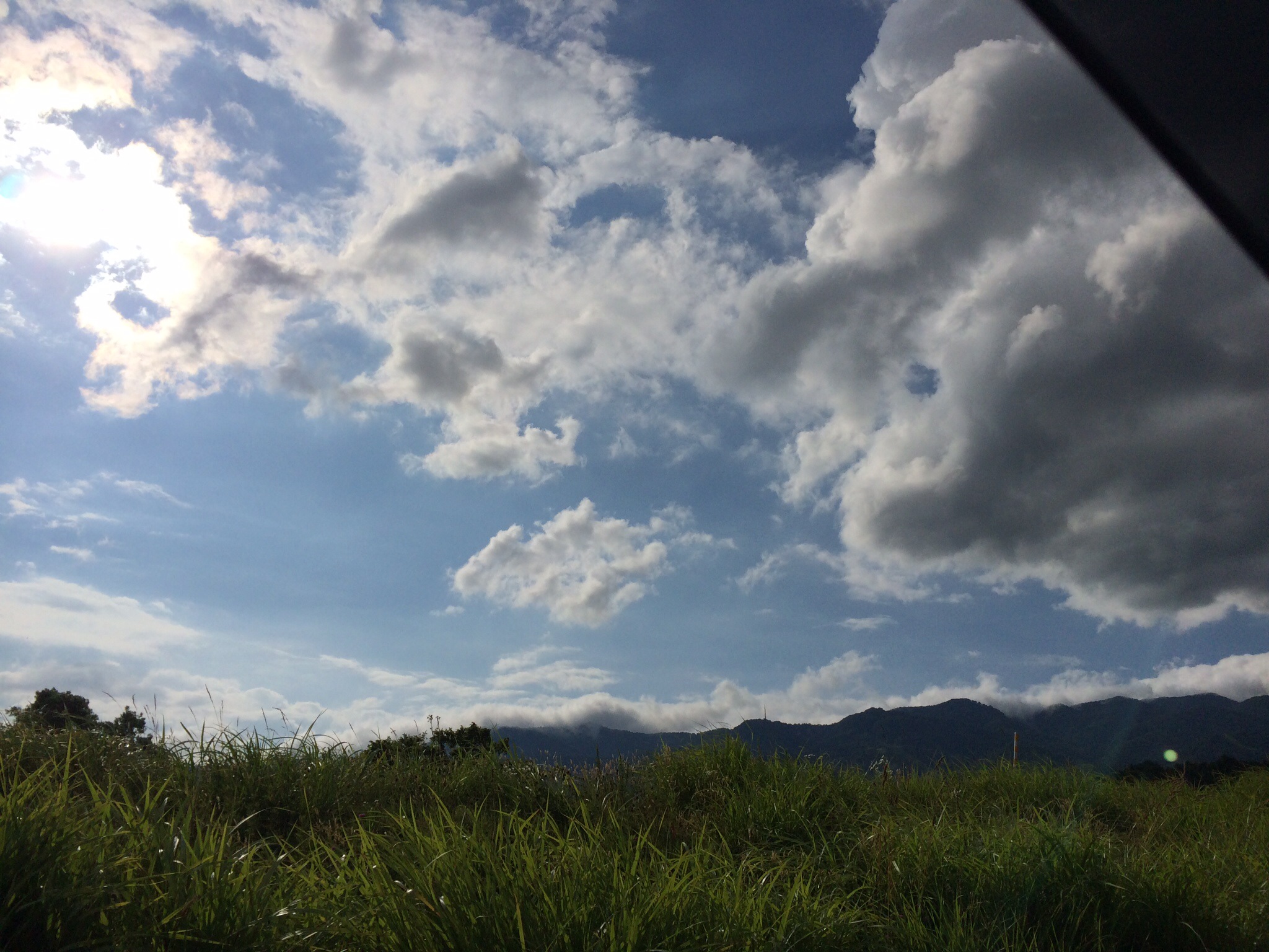
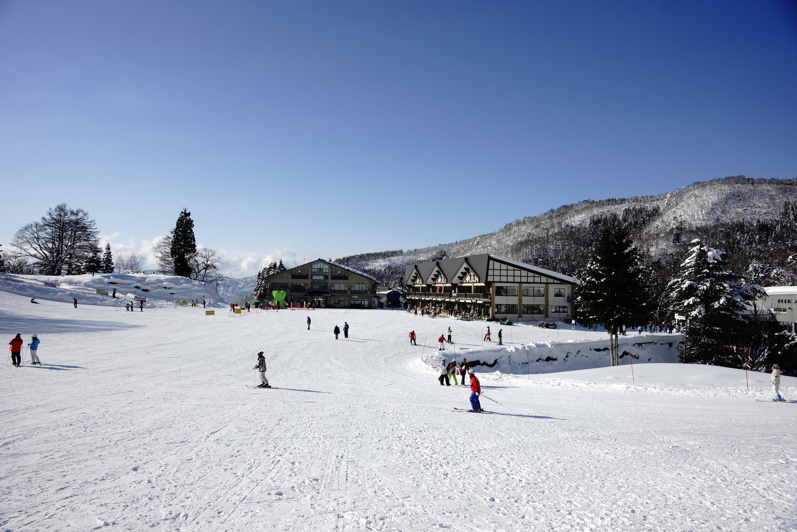
Related Photos:
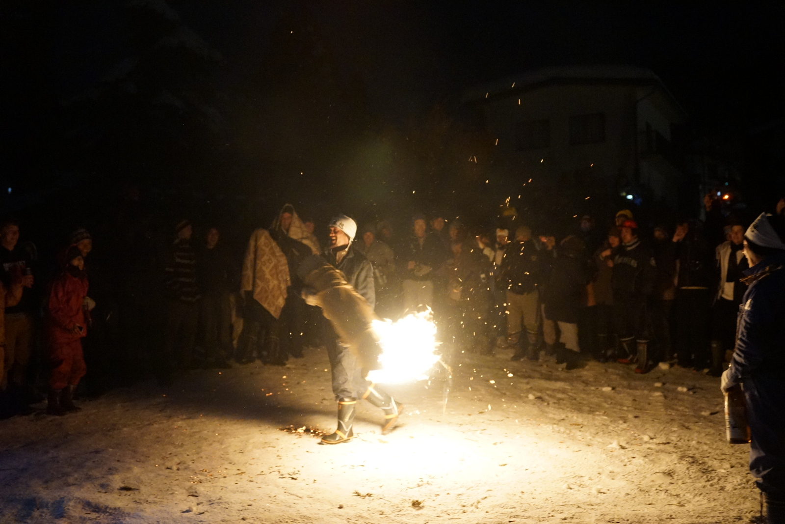
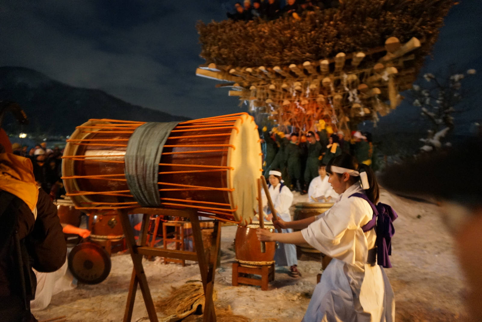
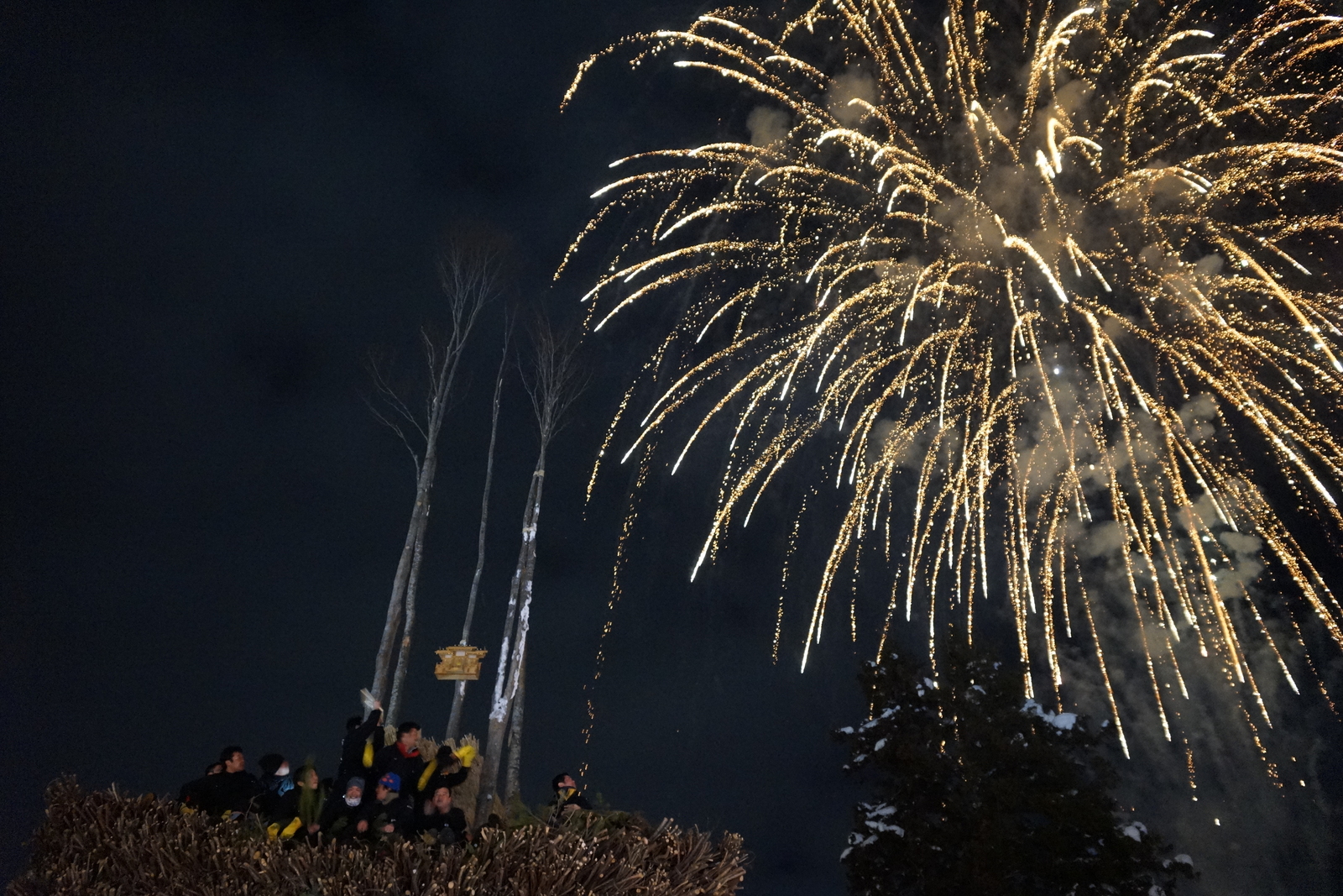
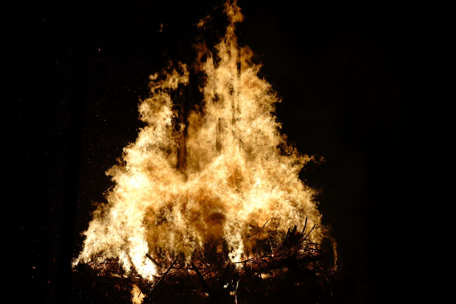
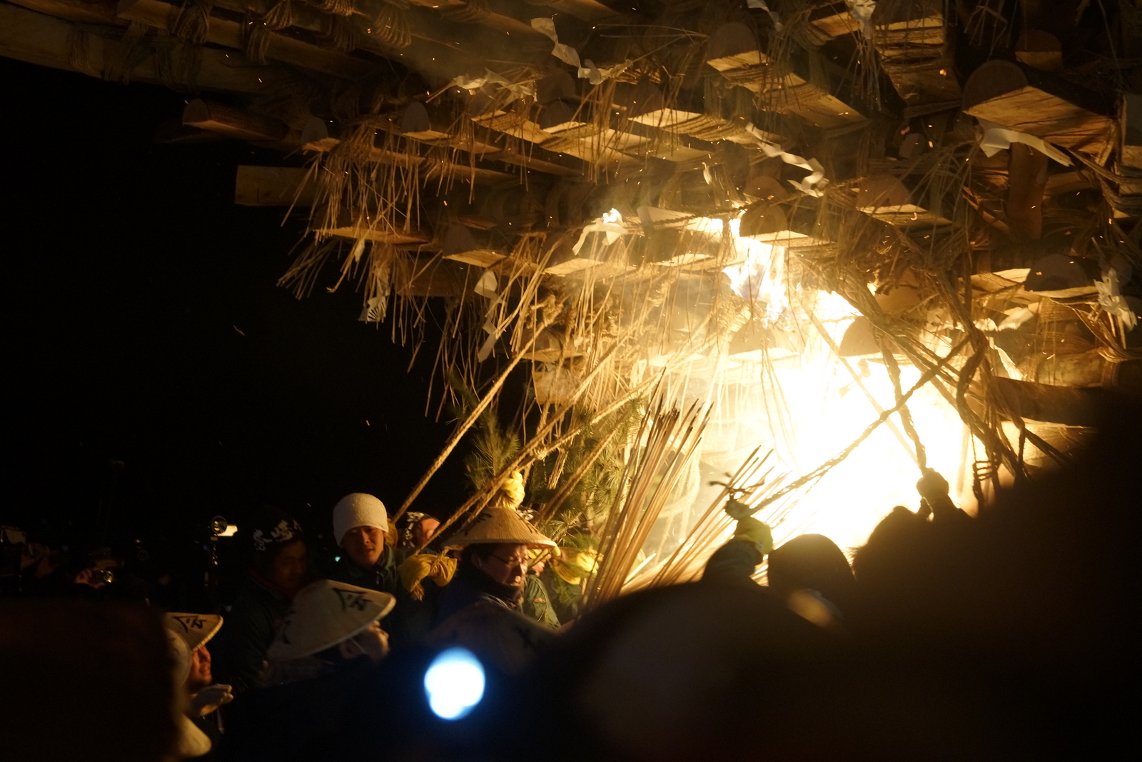
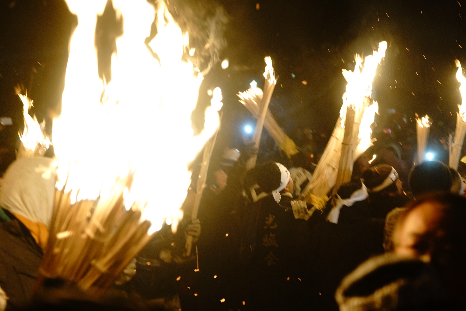
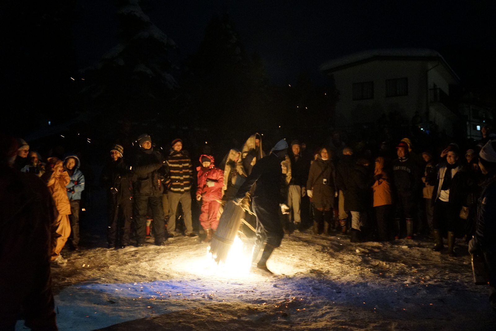
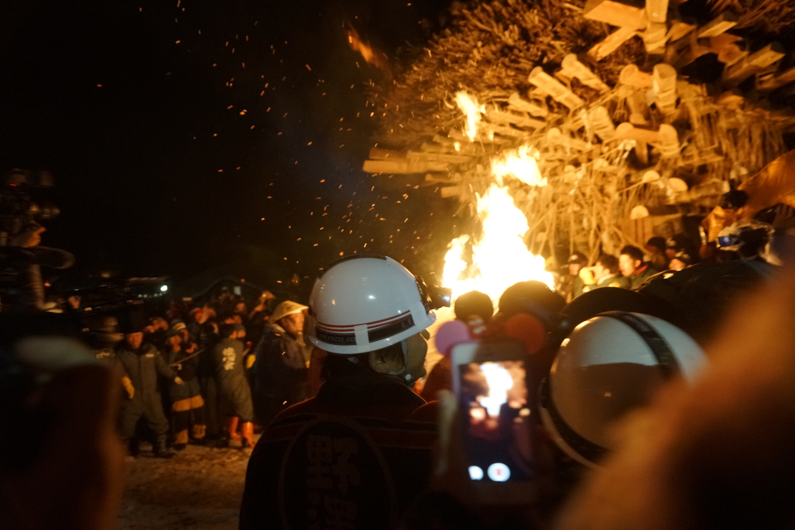
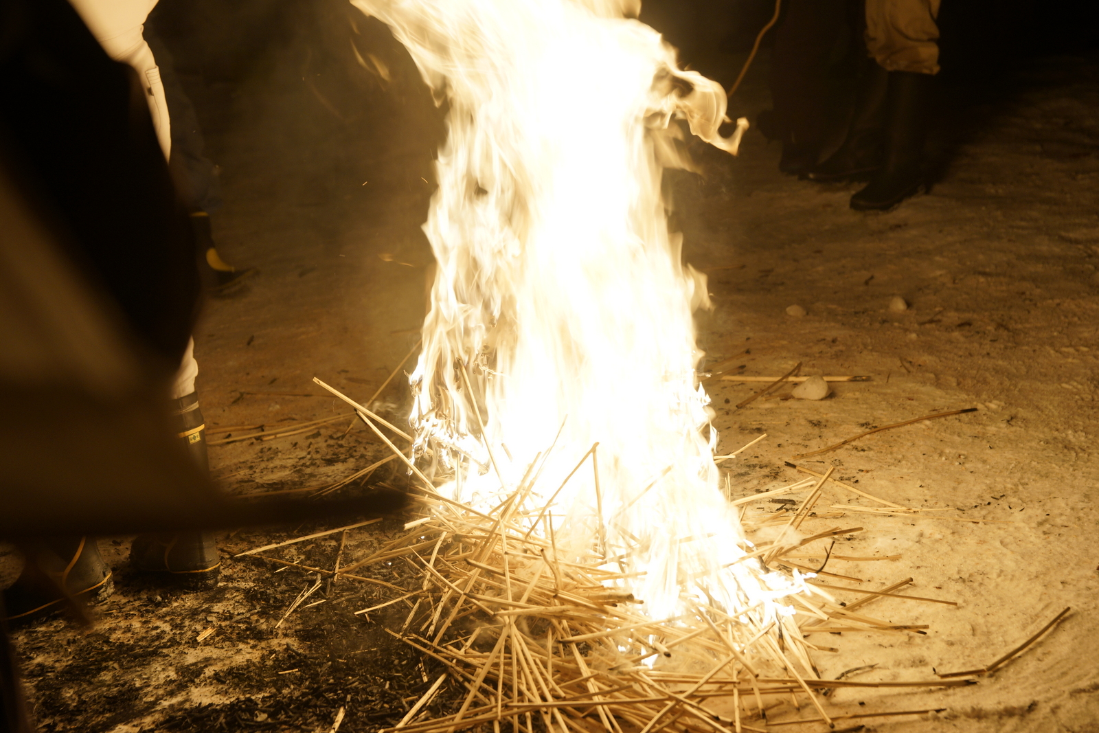
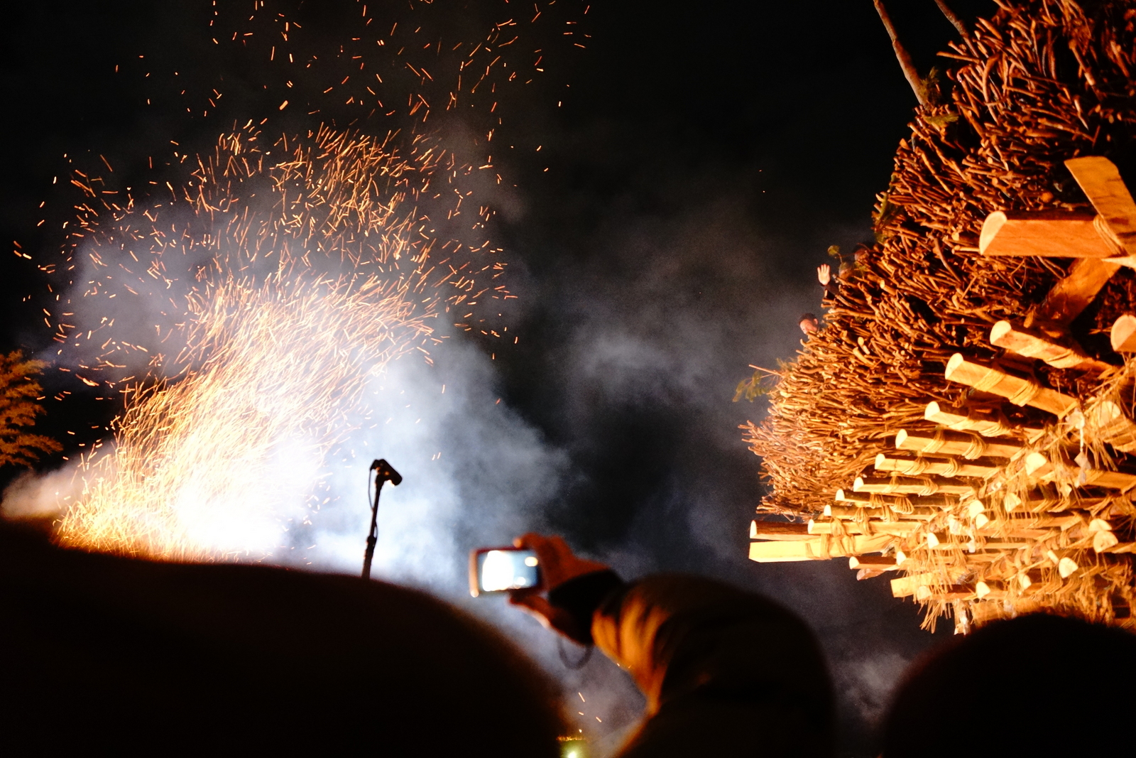
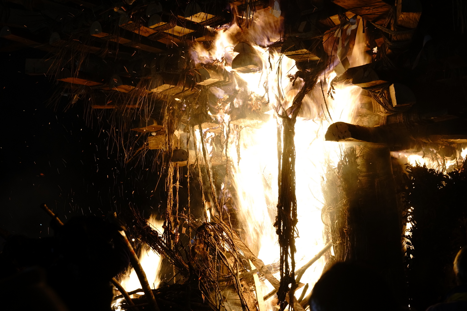
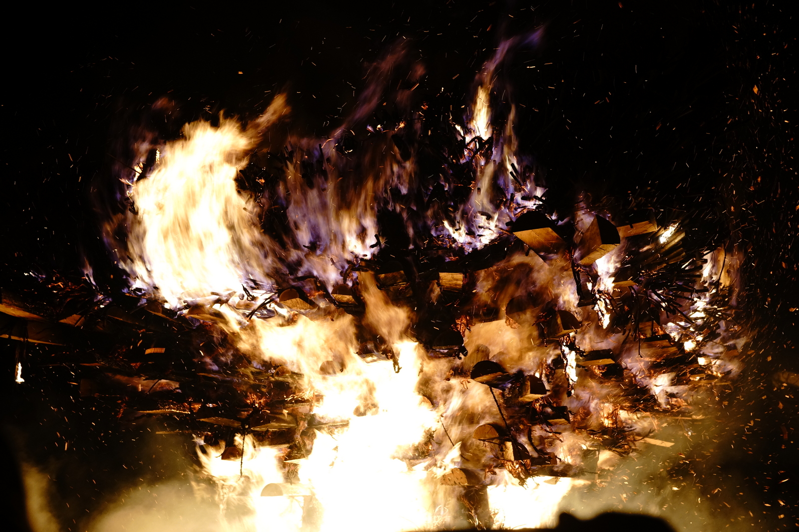
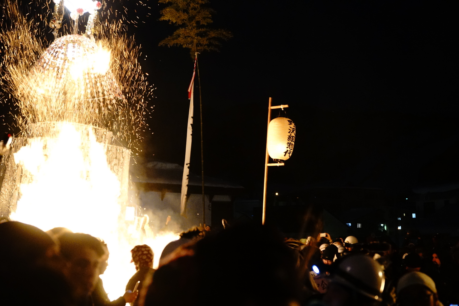
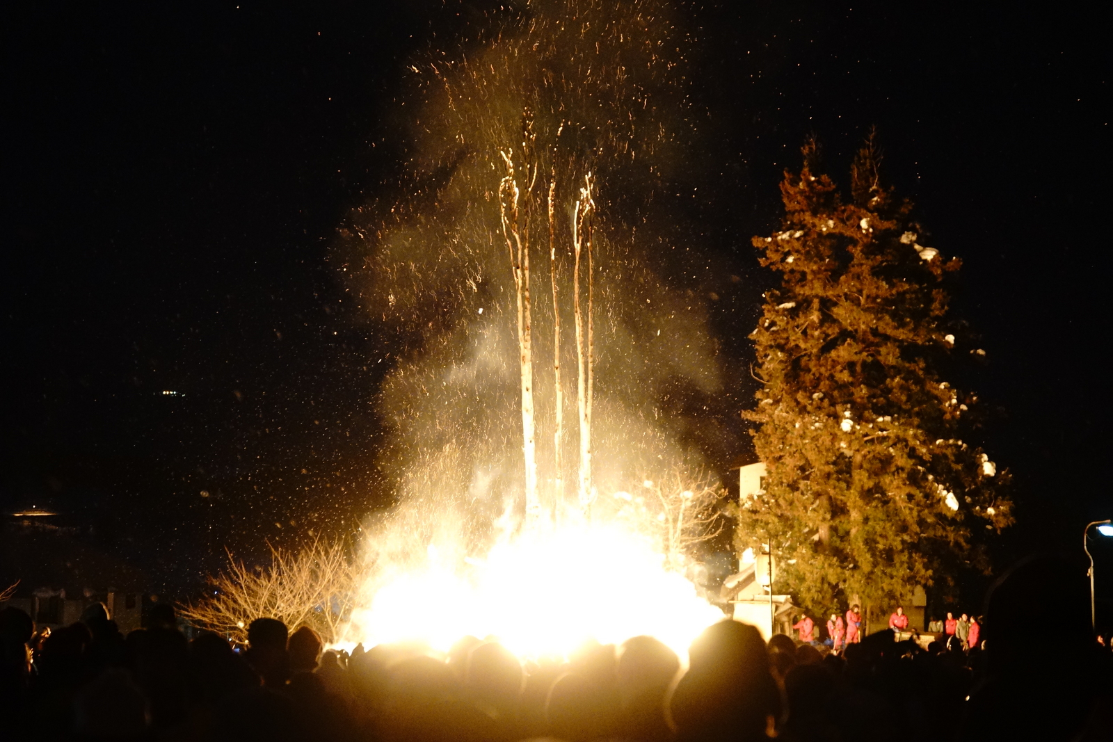
野沢温泉の道祖神祭り
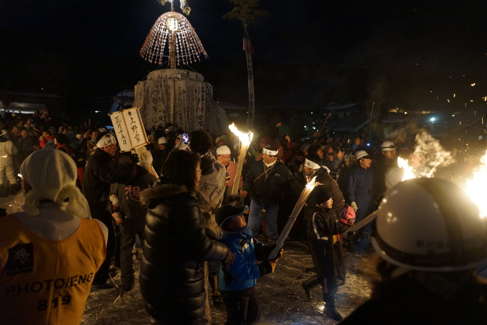
野沢温泉の道祖神祭り

ラッキ!

野沢温泉の道祖神祭り
野沢温泉の道祖神祭り
野沢温泉の道祖神祭り
野沢温泉の道祖神祭り
野沢温泉の道祖神祭り
野沢温泉の道祖神祭り
野沢温泉の道祖神祭り
野沢温泉の道祖神祭り

野沢温泉の道祖神祭り

野沢温泉の道祖神祭り
野沢温泉の道祖神祭り

野沢温泉の道祖神祭り
野沢温泉の道祖神祭り
野沢温泉の道祖神祭り

野沢温泉の道祖神祭り
野沢温泉の道祖神祭り
野沢温泉の道祖神祭り
野沢温泉の道祖神祭り
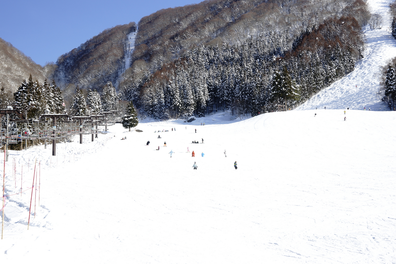
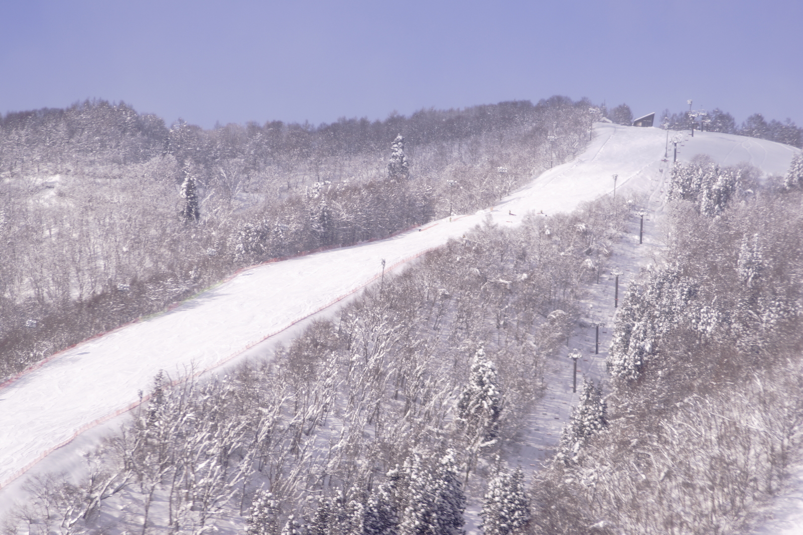
野沢温泉スキー場
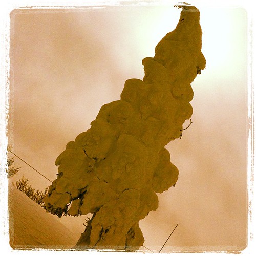
樹氷萌えー
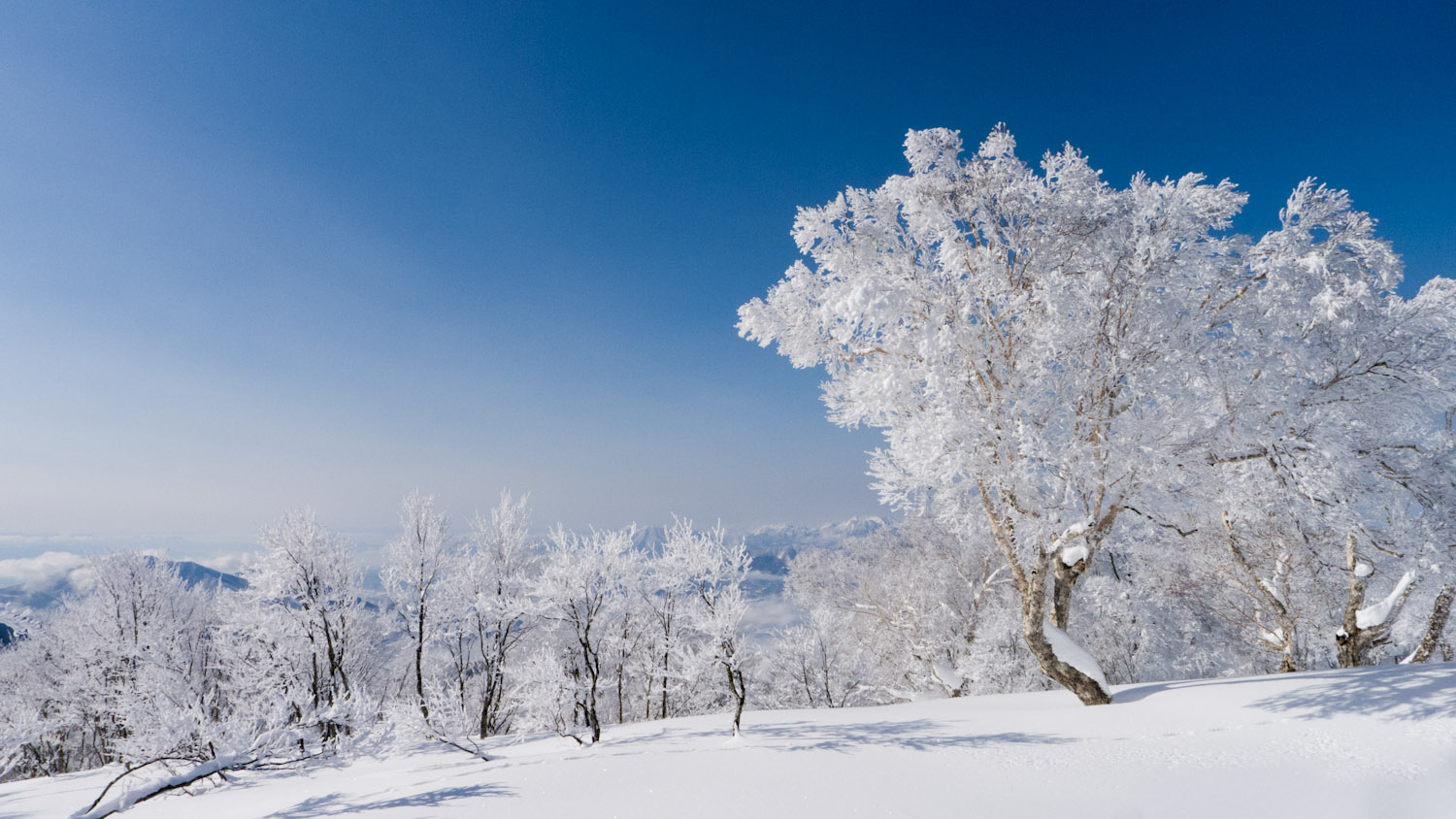
Frozen trees - 霧氷

Excited to be back in Nozawa Onsen for Snowboarding

IMG_4675.JPG

IMGP1227.jpg
野沢温泉スキー場
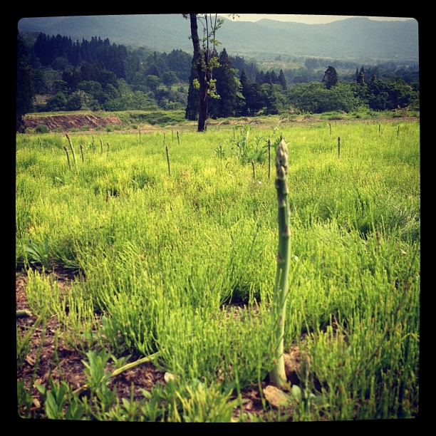
ニョッキリ。
雪の道。
野沢温泉スキー場
自分のフォトストリーム-559
野沢温泉スキー場
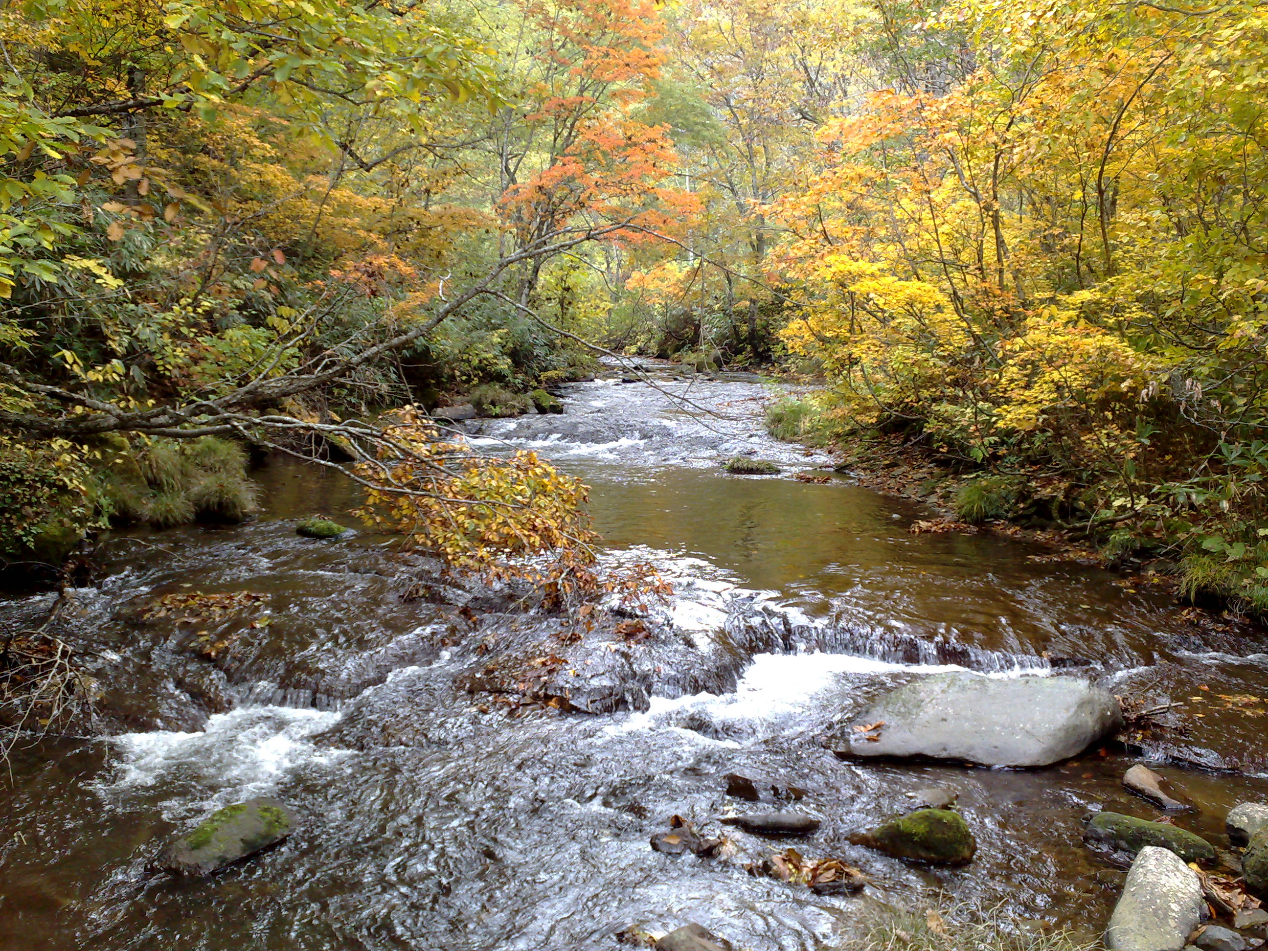
River with autumn leaves

信越ツーリング
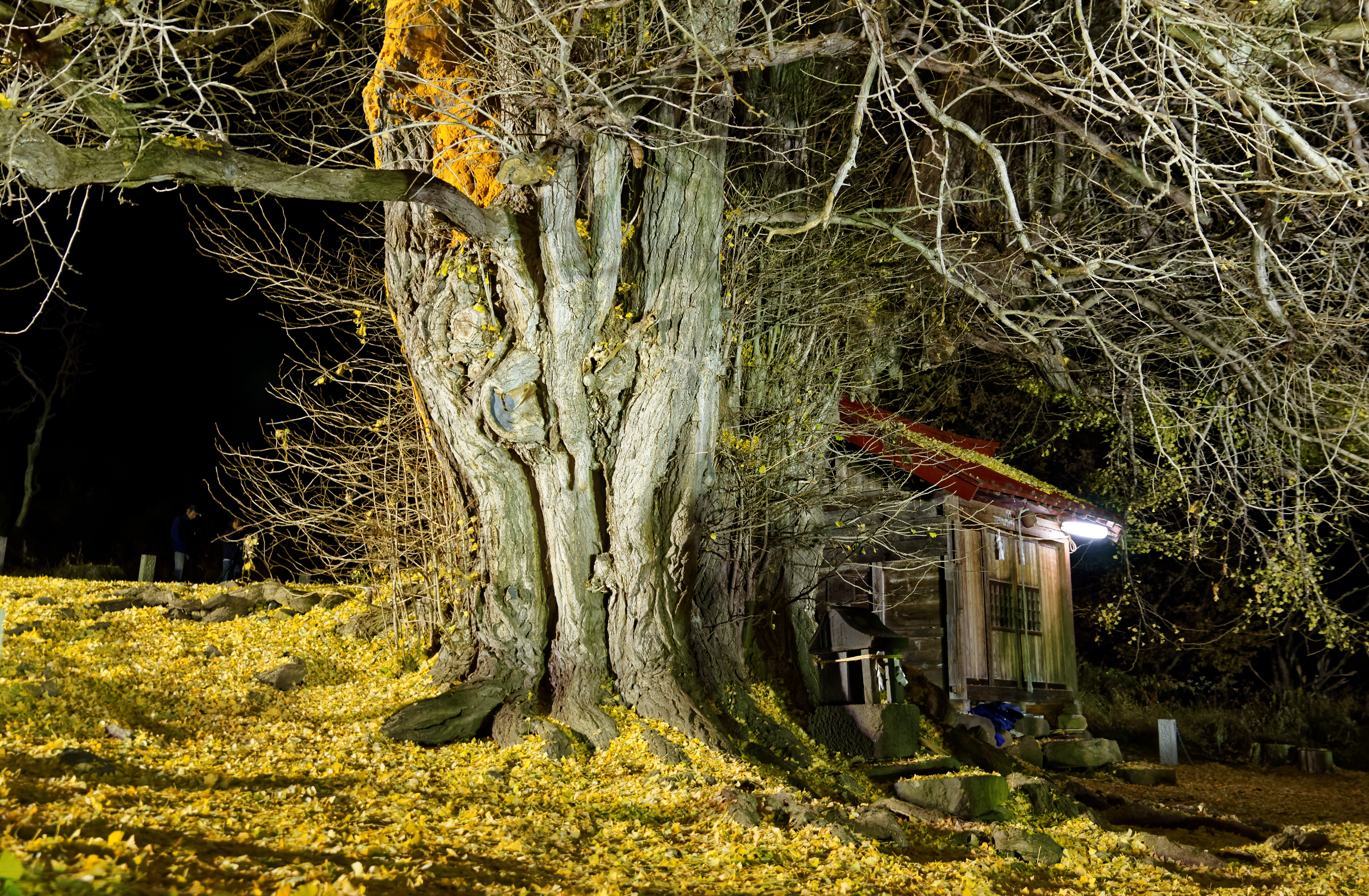
Huge ginkgo tree 4

信越ツーリング
Topographic Map of Toyosato, Nozawaonsen-mura, Shimotakai-gun, Nagano-ken -, Japan
Find elevation by address:

Places near Toyosato, Nozawaonsen-mura, Shimotakai-gun, Nagano-ken -, Japan:
Oyu
Nozawa Onsen Village
Nozawa Onsen Snow Resort
7653 Toyosato
Nozawaonsen
Toyoda, Iiyama-shi, Nagano-ken -, Japan
Kijimadaira
Higashiōtaki, Nozawaonsen-mura, Shimotakai-gun, Nagano-ken -, Japan
Tokiwa, Iiyama-shi, Nagano-ken -, Japan
Iiyama
Kita Shinshu Kijimadaira Ski Resort
Shimominochi District
Sakae
Tomikura, Iiyama-shi, Nagano-ken -, Japan
Shimotakai District
-10 Sakai, Sakae-mura, Shimominochi-gun, Nagano-ken -, Japan
Madarao Kogen Ski Resort
11492-320 Iiyama
Yamanouchi
Tamugi, Nakano-shi, Nagano-ken -, Japan
Recent Searches:
- Elevation of Corso Fratelli Cairoli, 35, Macerata MC, Italy
- Elevation of Tallevast Rd, Sarasota, FL, USA
- Elevation of 4th St E, Sonoma, CA, USA
- Elevation of Black Hollow Rd, Pennsdale, PA, USA
- Elevation of Oakland Ave, Williamsport, PA, USA
- Elevation of Pedrógão Grande, Portugal
- Elevation of Klee Dr, Martinsburg, WV, USA
- Elevation of Via Roma, Pieranica CR, Italy
- Elevation of Tavkvetili Mountain, Georgia
- Elevation of Hartfords Bluff Cir, Mt Pleasant, SC, USA