Elevation of Toyooka, Shimoina District, Nagano Prefecture, Japan
Location: Japan > Nagano Prefecture > Shimoina District >
Longitude: 137.895974
Latitude: 35.5514389
Elevation: 429m / 1407feet
Barometric Pressure: 96KPa
Elevation Map:
Satellite Map:
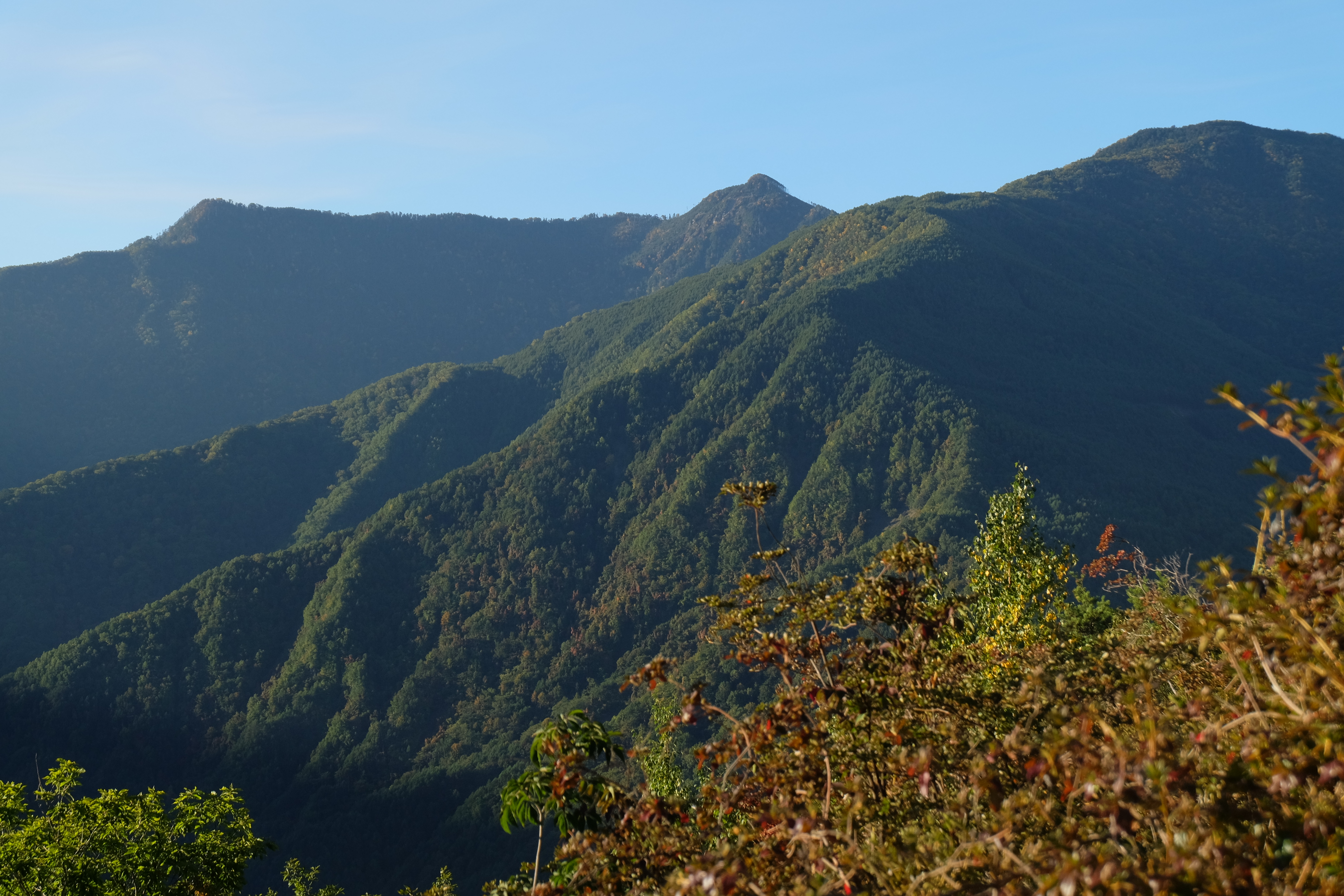
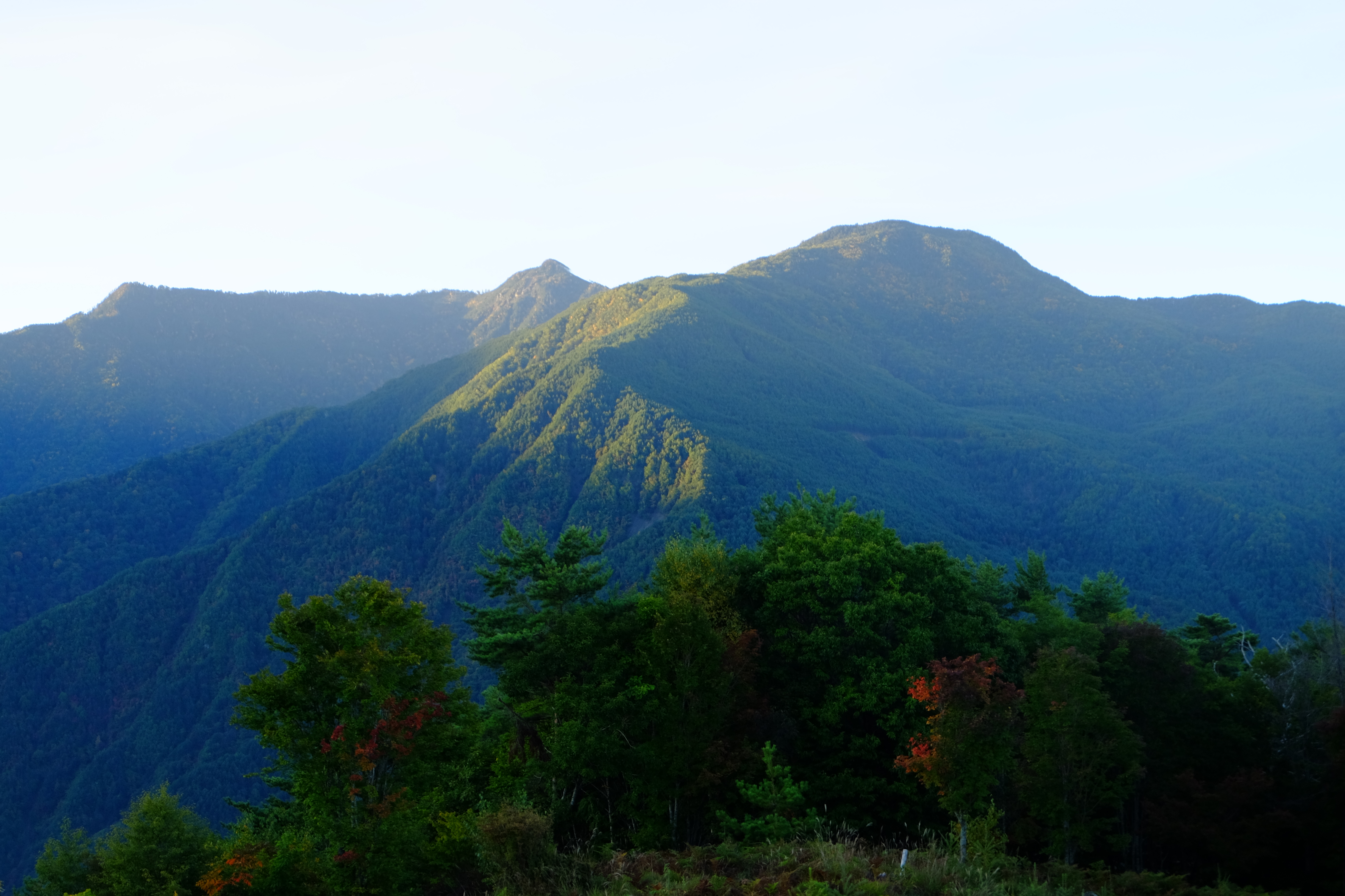
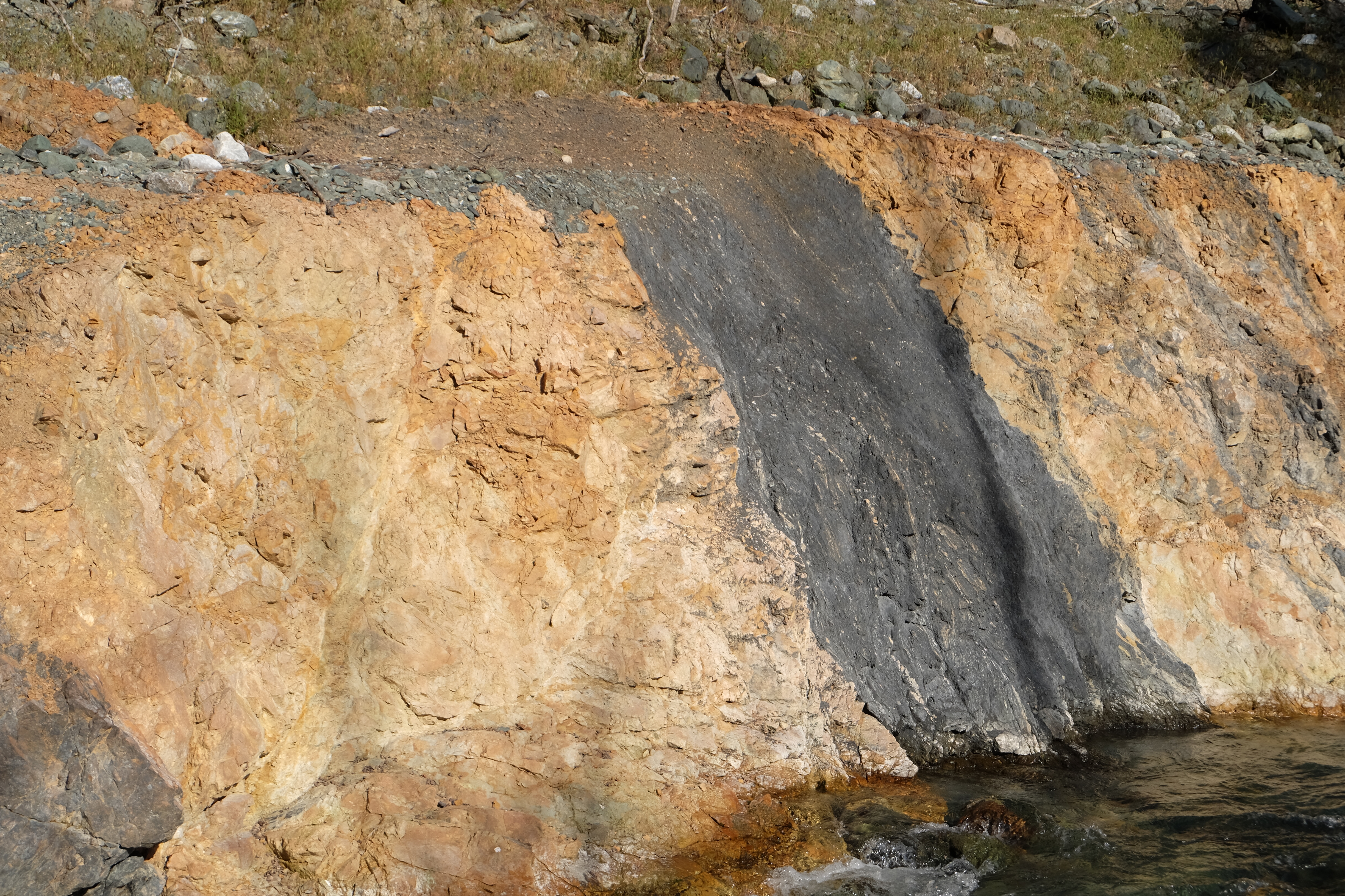
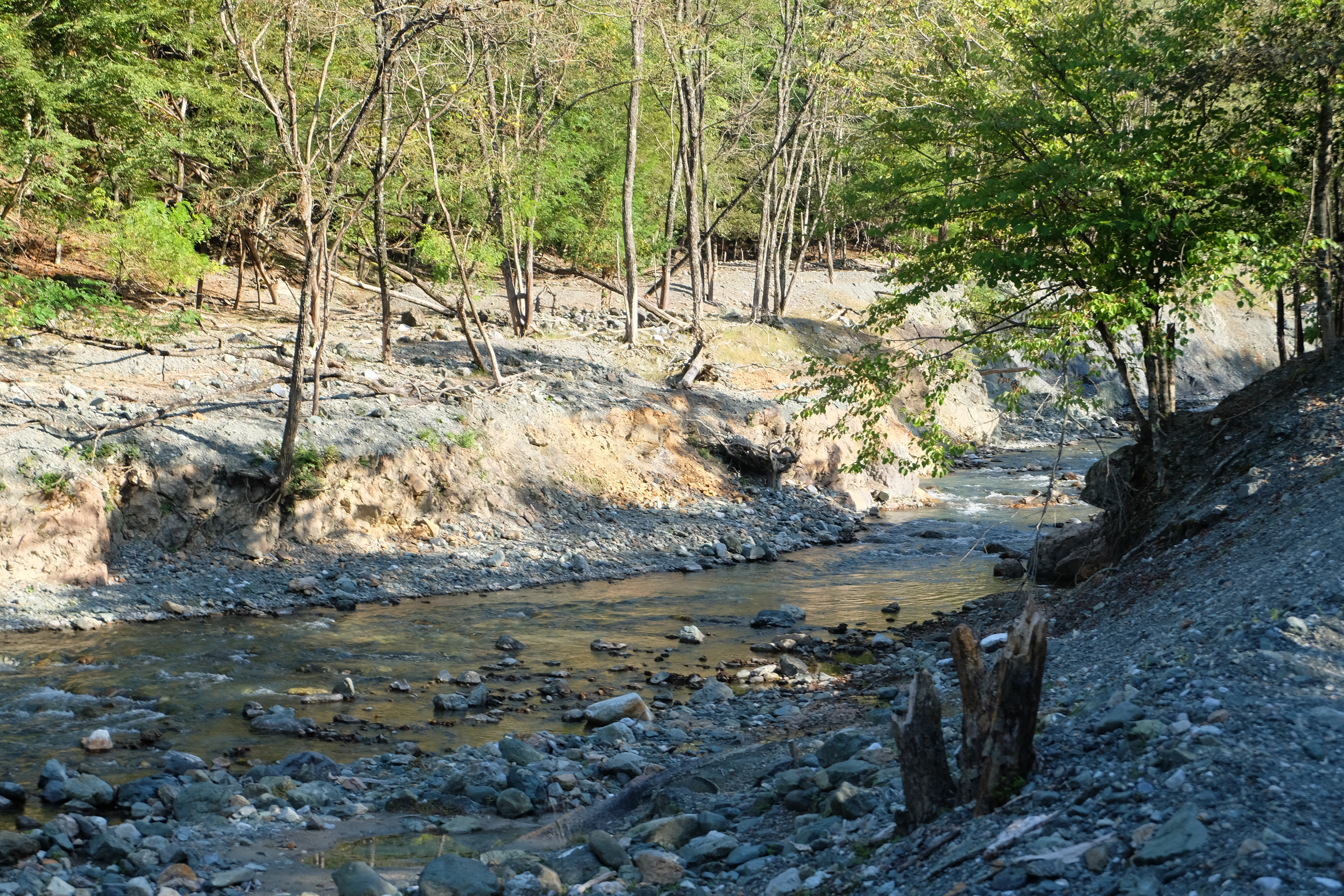
Related Photos:

Museum Ogasawara
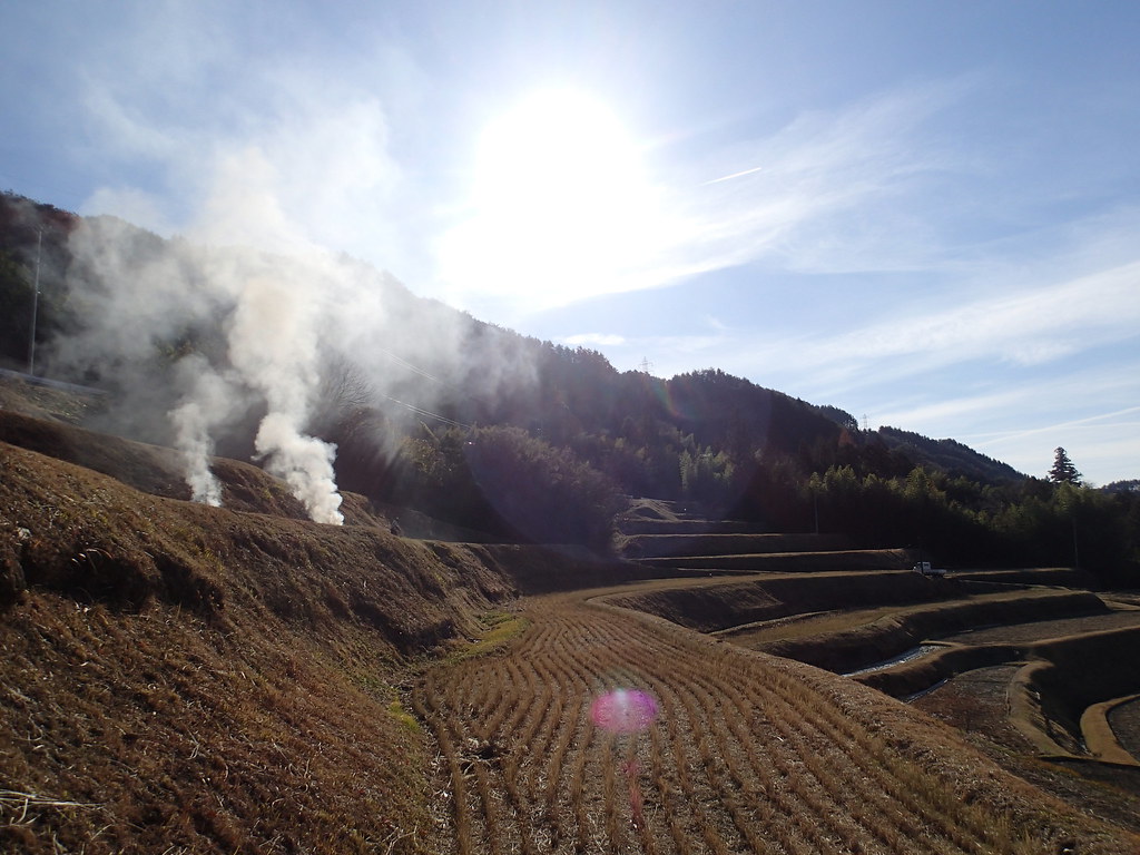
棚田その2
IMG_0020.JPG
DSCF8086.JPG
DSCF8231.JPG

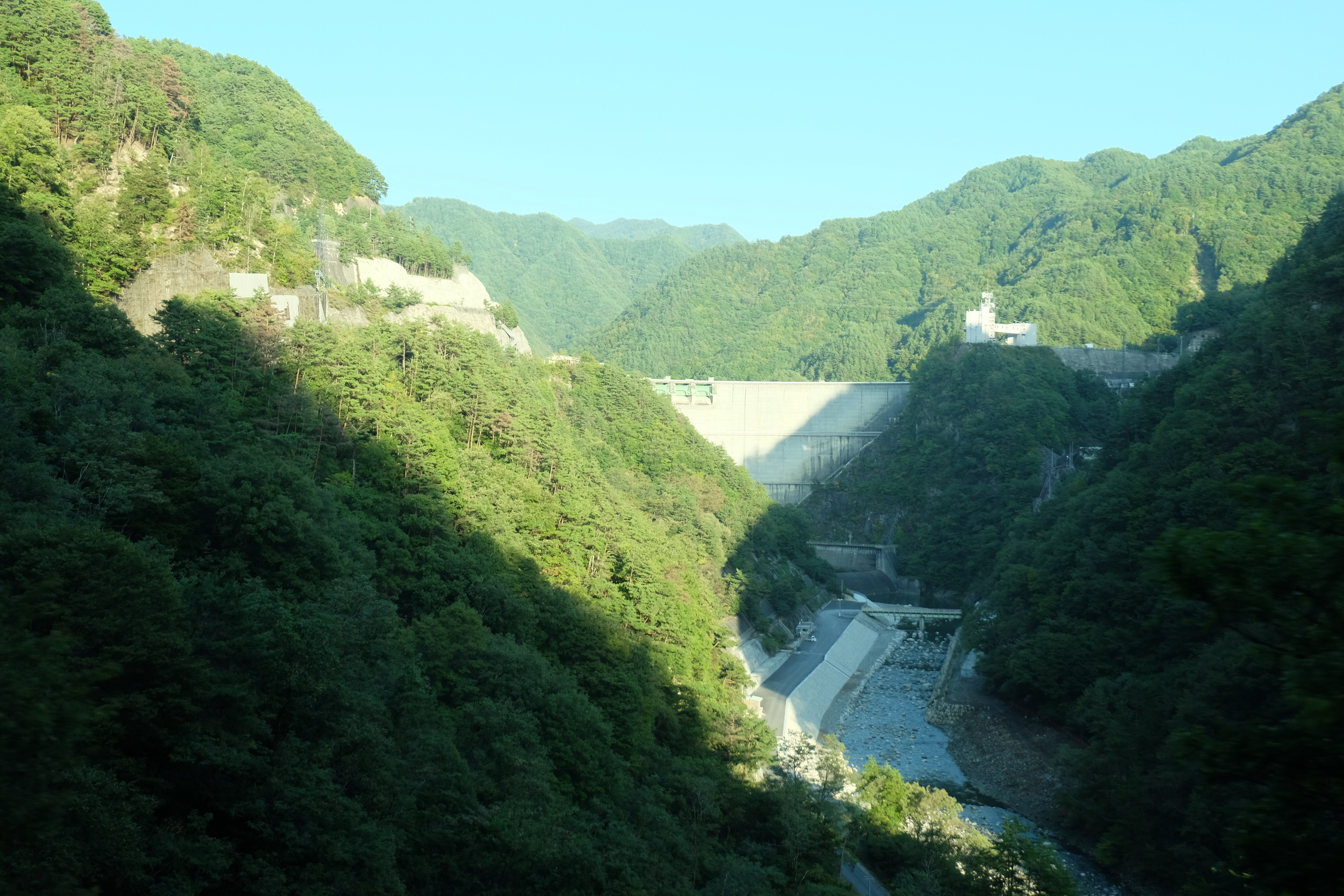
小渋ダム
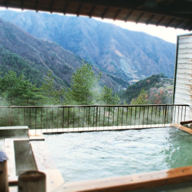
Onsen, Ooshika-village #landscape #onsen #大鹿村
DSCF8205.JPG
DSCF8240.JPG
DSCF8363.JPG
20111126-_DSC3639
DSCF8217.JPG
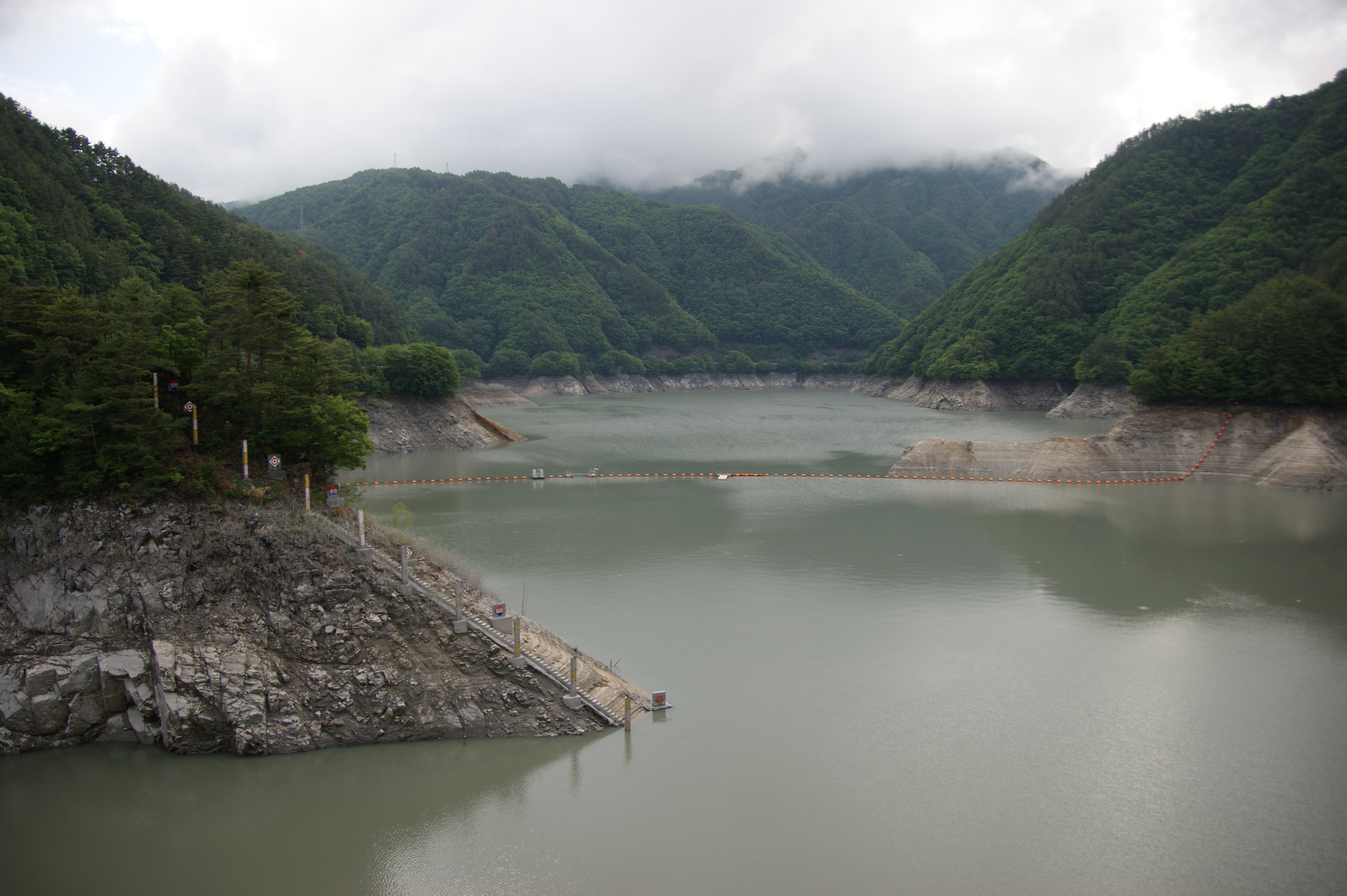
小渋ダム
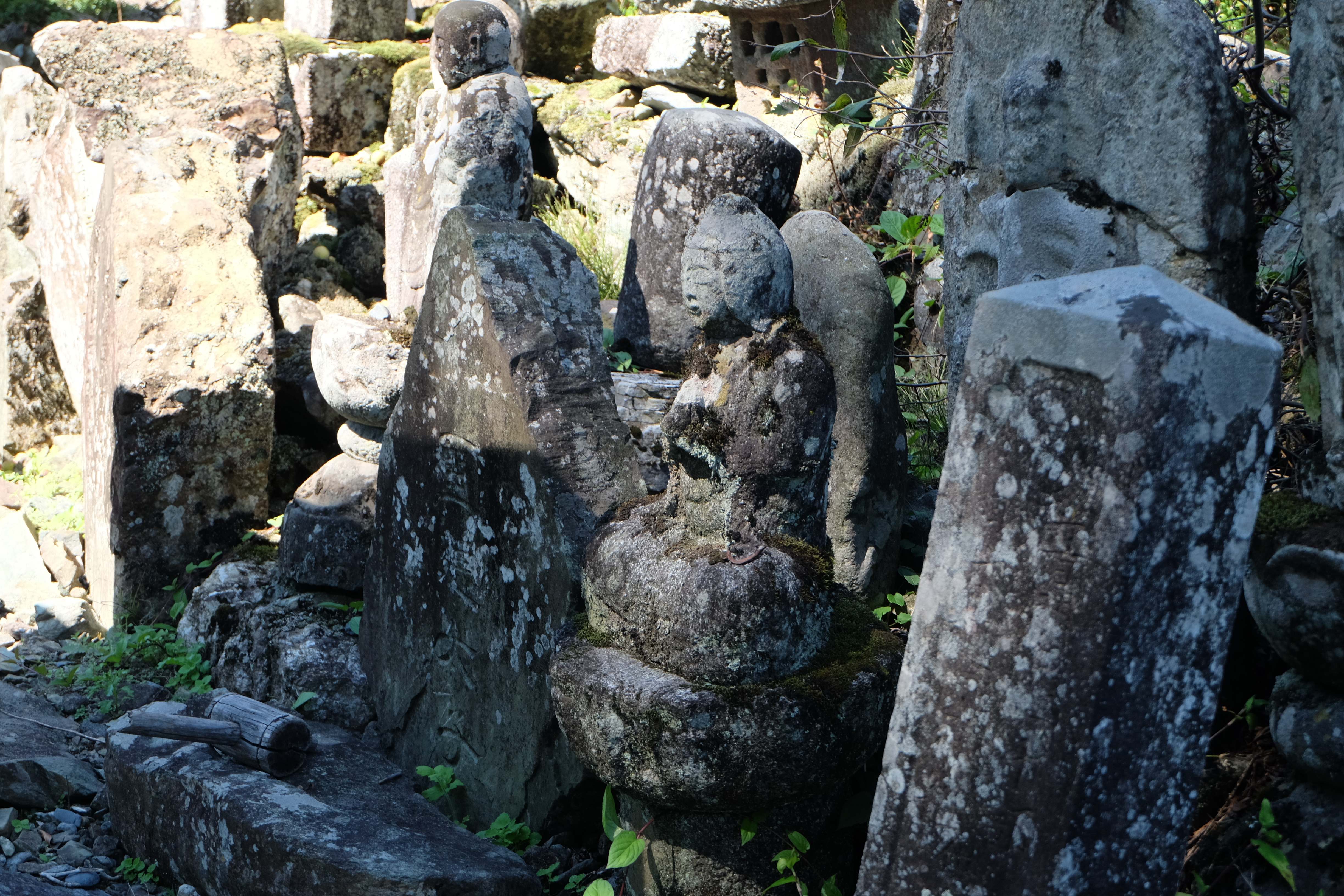
A temple in Oshika village #landscape #temple #village #cityscape #travel
DSCF8087.JPG
DSCF8060.JPG
DSCF8364.JPG
DSCF8342.JPG

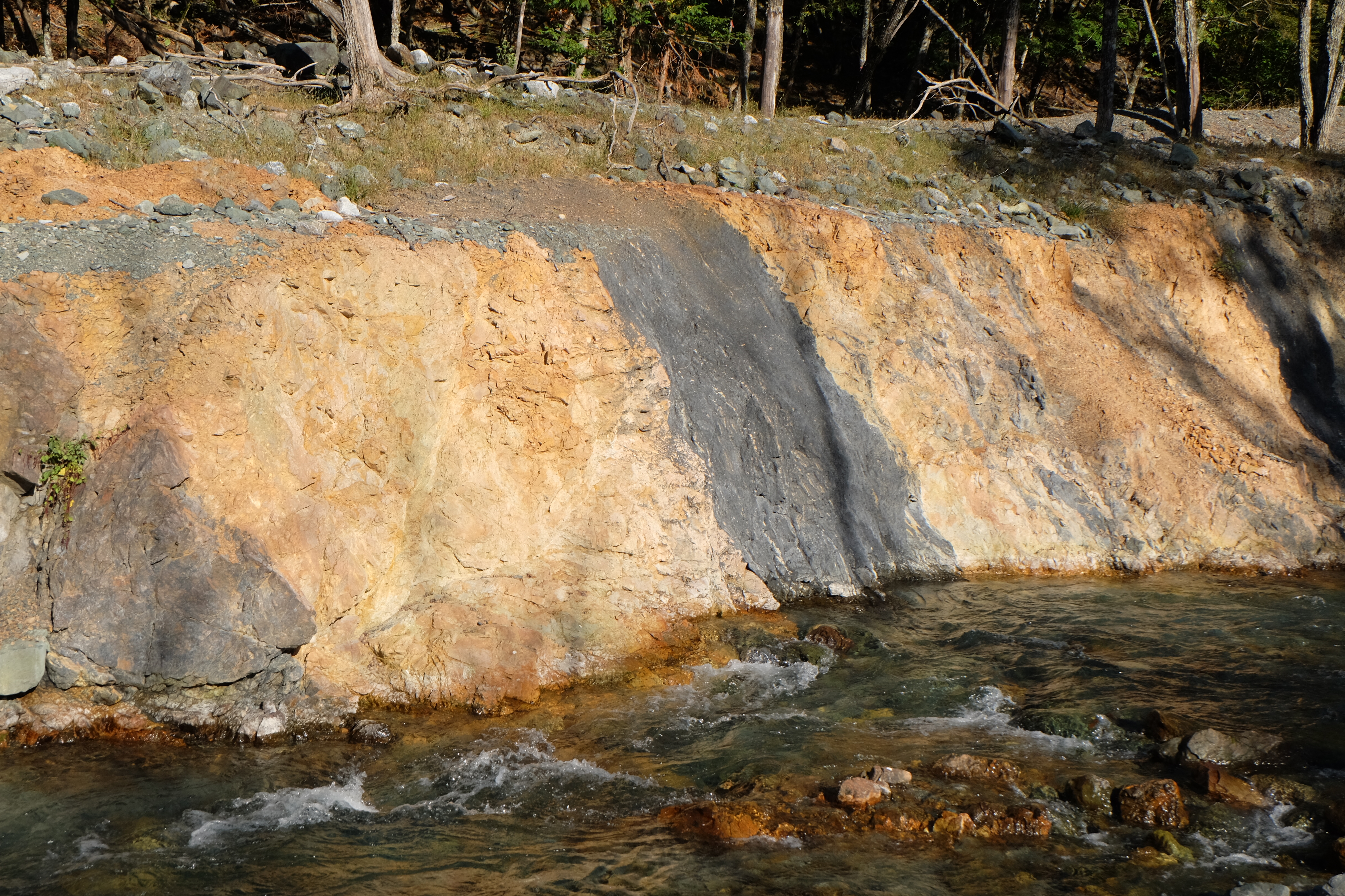
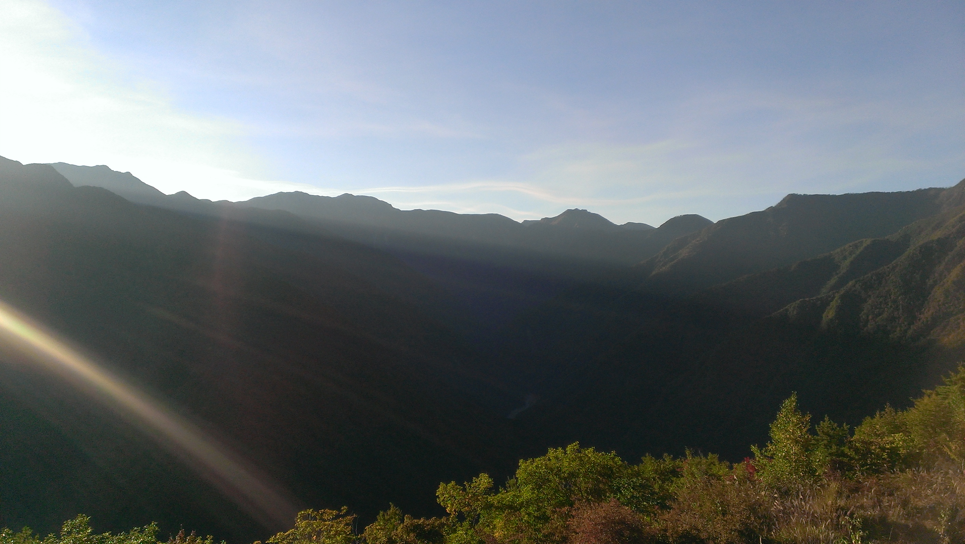
Under the rain in Tenryukyo
DSCF8402.JPG
IMAG0450.jpg
DSCF8076.JPG
Topographic Map of Toyooka, Shimoina District, Nagano Prefecture, Japan
Find elevation by address:

Places in Toyooka, Shimoina District, Nagano Prefecture, Japan:
Kumashiro, Toyooka-mura, Shimoina-gun, Nagano-ken -, Japan
Kumashiro, Toyooka-mura, Shimoina-gun, Nagano-ken -, Japan
Kumashiro
Places near Toyooka, Shimoina District, Nagano Prefecture, Japan:
Kumashiro
Kumashiro, 5480
Kumashiro, Toyooka-mura, Shimoina-gun, Nagano-ken -, Japan
Matsukawa
Kumashiro, Toyooka-mura, Shimoina-gun, Nagano-ken -, Japan
-4 Motoōjima, Matsukawa-machi, Shimoina-gun, Nagano-ken -, Japan
2 Chome-678 Ōtemachi
長野県飯田合同庁舎
Iida
Nakagawa
Kamihisakata, Iida-shi, Nagano-ken -, Japan
Ōkusa, Nakagawa-mura, Kamiina-gun, Nagano-ken -, Japan
- Nanakubo, Iijima-machi, Kamiina-gun, Nagano-ken -, Japan
Hongō, Iijima-machi, Kamiina-gun, Nagano-ken -, Japan
Tatsue, Iida-shi, Nagano-ken -, Japan
Iijima
Oshika
Kashio, Ōshika-mura, Shimoina-gun, Nagano-ken -, Japan
-82 Akaho, Komagane-shi, Nagano-ken -, Japan
Nakazawa, Komagane-shi, Nagano-ken -, Japan
Recent Searches:
- Elevation of Corso Fratelli Cairoli, 35, Macerata MC, Italy
- Elevation of Tallevast Rd, Sarasota, FL, USA
- Elevation of 4th St E, Sonoma, CA, USA
- Elevation of Black Hollow Rd, Pennsdale, PA, USA
- Elevation of Oakland Ave, Williamsport, PA, USA
- Elevation of Pedrógão Grande, Portugal
- Elevation of Klee Dr, Martinsburg, WV, USA
- Elevation of Via Roma, Pieranica CR, Italy
- Elevation of Tavkvetili Mountain, Georgia
- Elevation of Hartfords Bluff Cir, Mt Pleasant, SC, USA