Elevation of Township Rd, Millersburg, OH, USA
Location: United States > Ohio > Holmes County > Salt Creek Township >
Longitude: -81.782165
Latitude: 40.5989587
Elevation: 378m / 1240feet
Barometric Pressure: 97KPa
Elevation Map:
Satellite Map:
Related Photos:

eBird Doc: American Pipit

eBird Doc: Ohio wintering Pectoral Sandpiper

eBird Doc: Pectoral Sandpiper wintering in Ohio
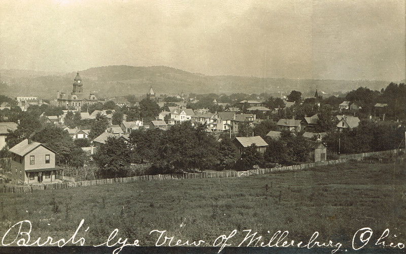
Millersburg, Holmes County Ohio, Birds Eye View
Millersburg, Holmes County Ohio, St Peters Catholic Church

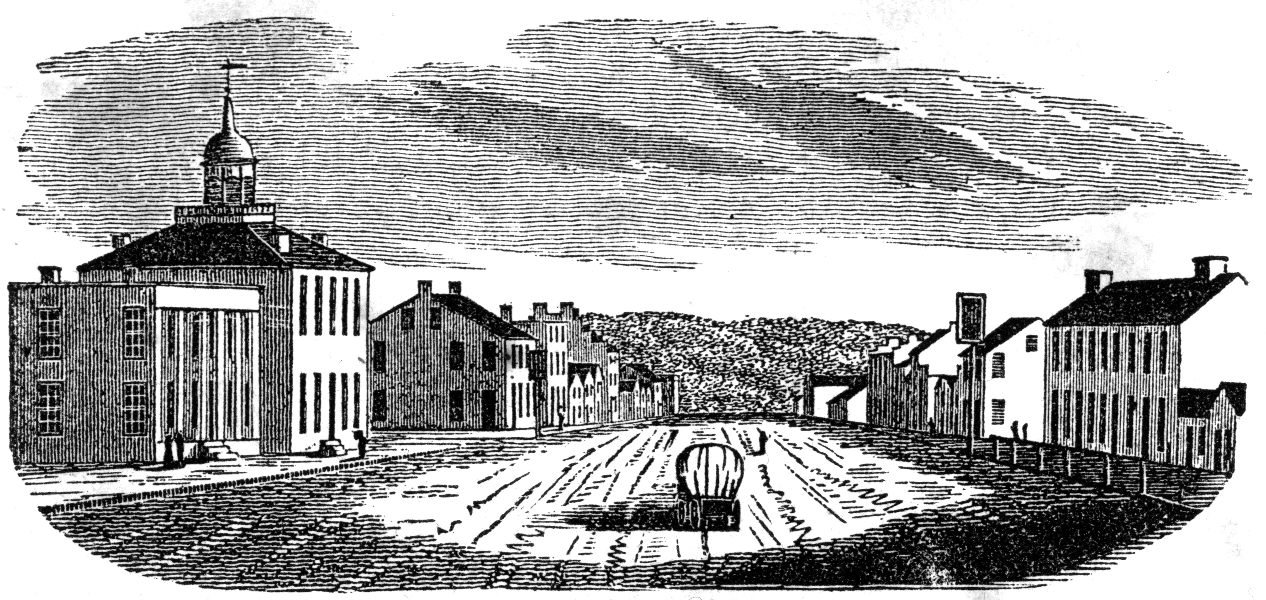
The Holmes County Courthouse
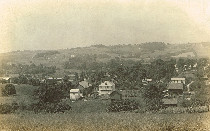
View in Millersburg

Millersburg, Ohio USA
Mt. Eaton, Ohio

Millersburg, Holmes County Ohio, Birds Eye View

eBird Doc: OH Swainsons' Hawk

eBird Doc: OH Swainsons' Hawk

The view is even better when the sun is out and it's warm enough to actually go out on the balcony.

eBird Doc: OH Swainsons' Hawk

Perseids - Telstar

IMG_1242c Perseids

IMG_1242c startrails

Amish Hillsides in Ohio

eBird Doc: Ohio Rock Wren

eBird Doc: Ohio Rock Wren
Winesburg, Holmes County Ohio, Park

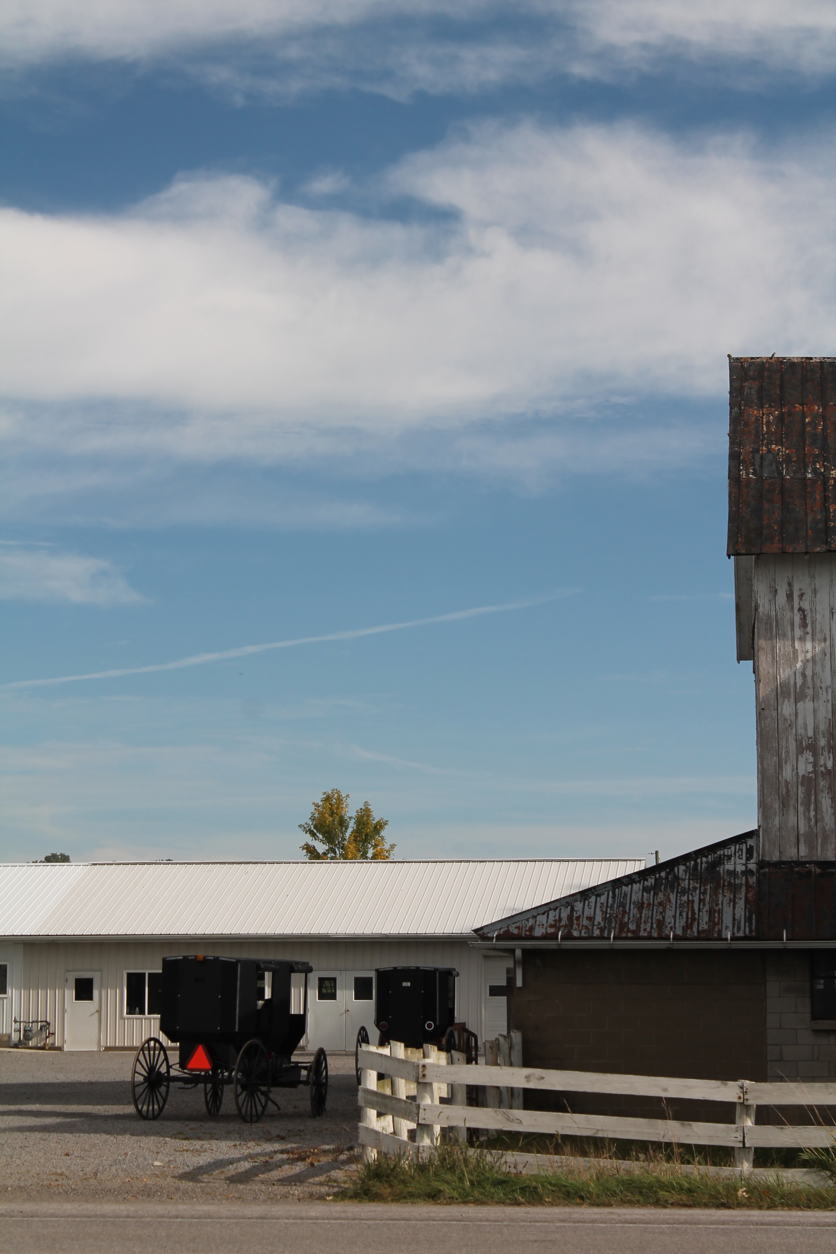
Amish Farm

Amish Farm, Millersburg, Ohio, USA.

Beautiful morning lights paints this rural scene in rural Millersburg, Ohio. #ohio #ohiogram #ohioexplored #discoverohio #midwest #midwestliving #midwestmoment #midwestmoment #rural #millersburg #amish #amishcountry #farm #holmescounty #cows #livestock #b

DSC07273 (3)

Peaceful Pleasure's

DSC02510 (1)

_MG_8605-2
20120429-IMG_5261

20120429-IMG_5297
20120429-IMG_5256

20120429-IMG_5225

20120429-IMG_5267
Puffs and bundles....

20120429-IMG_5231

20120429-IMG_5316

164:366:Pastoral

Sunrise Walk | Zincks 2013

IMG_0253 - 2010-07-31 at 15-47-57 - Version 2

IMG_0052 - 2010-07-31 at 13-46-21 - Version 2
Topographic Map of Township Rd, Millersburg, OH, USA
Find elevation by address:

Places near Township Rd, Millersburg, OH, USA:
Berlin Township
OH-, Millersburg, OH, USA
5025 Oh-557
Walnut Creek Township
5019 Oh-557
Walnut Creek
5638 Private Rd 345
5590 Co Rd 172
1704 Township Rd 416
Hardy Township
Ohio's Amish Country
Becks Mills
7665 Township Rd 334
Clark Township
Holmes County
9715 Walnut Creek Bottom Rd Nw
Sugarcreek, OH, USA
3272 Oh-83
Mechanic Township
3197 Oh-93
Recent Searches:
- Elevation of Corso Fratelli Cairoli, 35, Macerata MC, Italy
- Elevation of Tallevast Rd, Sarasota, FL, USA
- Elevation of 4th St E, Sonoma, CA, USA
- Elevation of Black Hollow Rd, Pennsdale, PA, USA
- Elevation of Oakland Ave, Williamsport, PA, USA
- Elevation of Pedrógão Grande, Portugal
- Elevation of Klee Dr, Martinsburg, WV, USA
- Elevation of Via Roma, Pieranica CR, Italy
- Elevation of Tavkvetili Mountain, Georgia
- Elevation of Hartfords Bluff Cir, Mt Pleasant, SC, USA