Elevation of Township Rd C, Canyon Creek, AB T0G 0M0, Canada
Location: Canada > Alberta > Division No. 17 > Lesser Slave River No.124 > Canyon Creek >
Longitude: -115.08807
Latitude: 55.3716752
Elevation: 581m / 1906feet
Barometric Pressure: 95KPa
Elevation Map:
Satellite Map:
Related Photos:
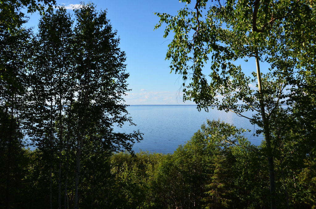
Lesser Slave Lake Scene

Lesser Slave Lake Rail
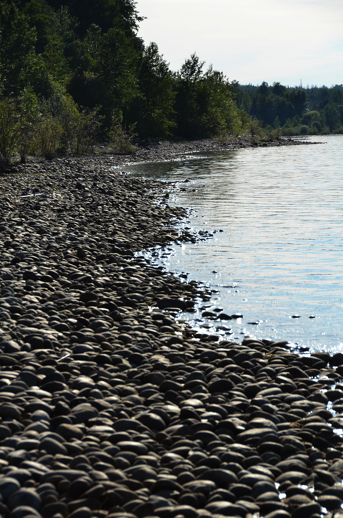
Lesser Slave Lake Rock Shore

Sunset at nine mile point Slave Lake Alberta
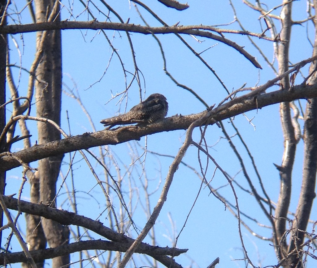
Common nighthawk (Chordeiles minor), Outside Lesser Slave Lake, Alberta
Topographic Map of Township Rd C, Canyon Creek, AB T0G 0M0, Canada
Find elevation by address:

Places near Township Rd C, Canyon Creek, AB T0G 0M0, Canada:
Recent Searches:
- Elevation of Corso Fratelli Cairoli, 35, Macerata MC, Italy
- Elevation of Tallevast Rd, Sarasota, FL, USA
- Elevation of 4th St E, Sonoma, CA, USA
- Elevation of Black Hollow Rd, Pennsdale, PA, USA
- Elevation of Oakland Ave, Williamsport, PA, USA
- Elevation of Pedrógão Grande, Portugal
- Elevation of Klee Dr, Martinsburg, WV, USA
- Elevation of Via Roma, Pieranica CR, Italy
- Elevation of Tavkvetili Mountain, Georgia
- Elevation of Hartfords Bluff Cir, Mt Pleasant, SC, USA