Elevation of Town of Rockingham, VT, USA
Location: United States > Vermont > Windham County >
Longitude: -72.488928
Latitude: 43.1876028
Elevation: 149m / 489feet
Barometric Pressure: 100KPa
Elevation Map:
Satellite Map:
Related Photos:

Bombus griseocollis,ocelli view, Rockingham, 5/22/2012
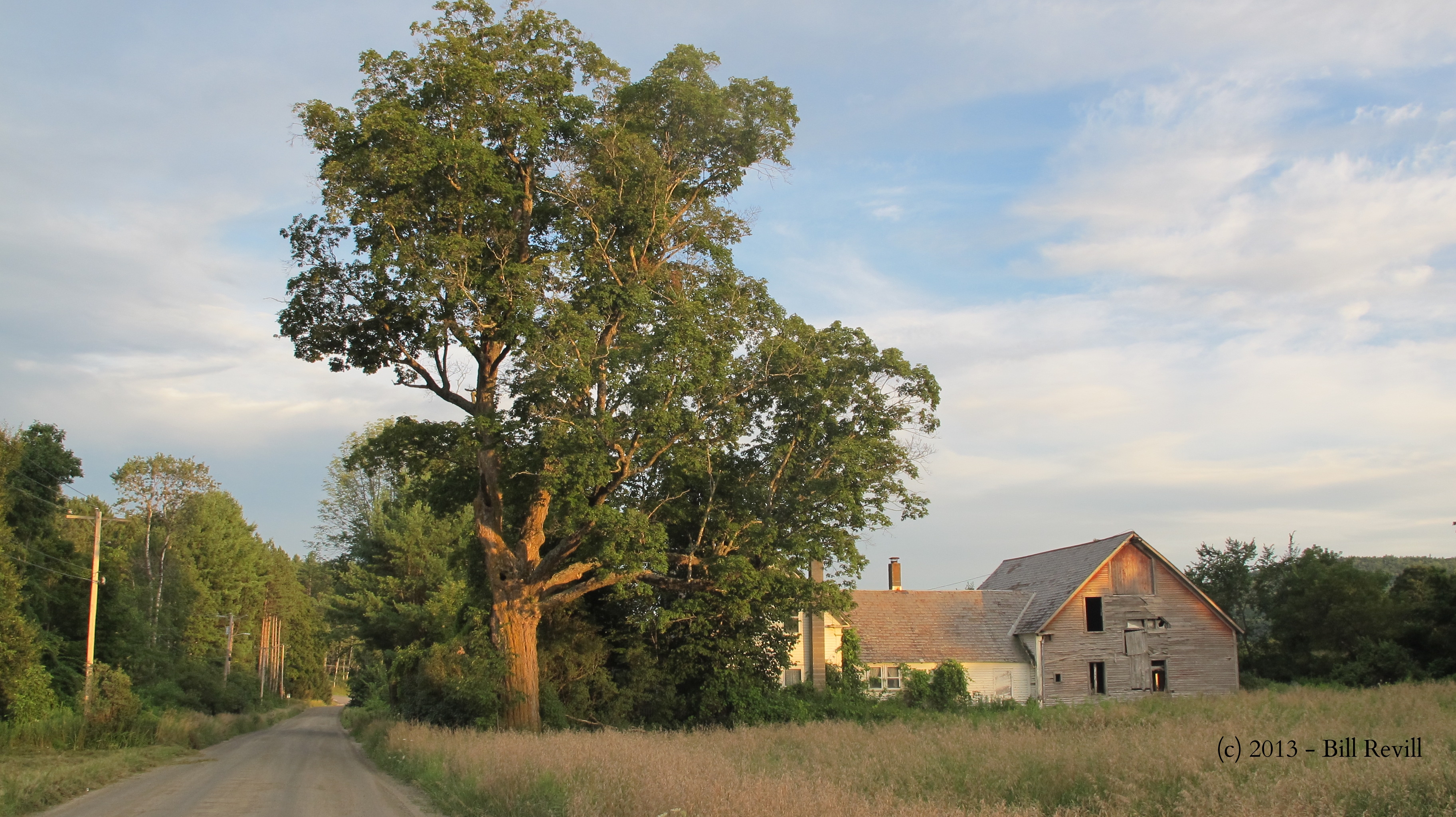
Chester VT dirt road

Bombus griseocollis, top view, Rockingham, 5/22/2012
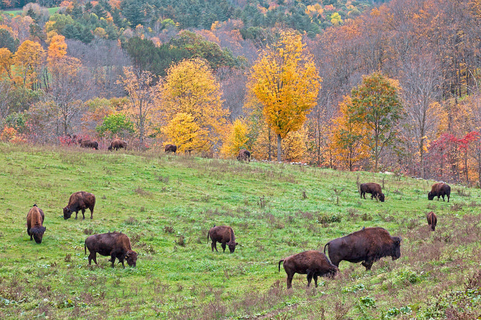
The Buffalo Roam
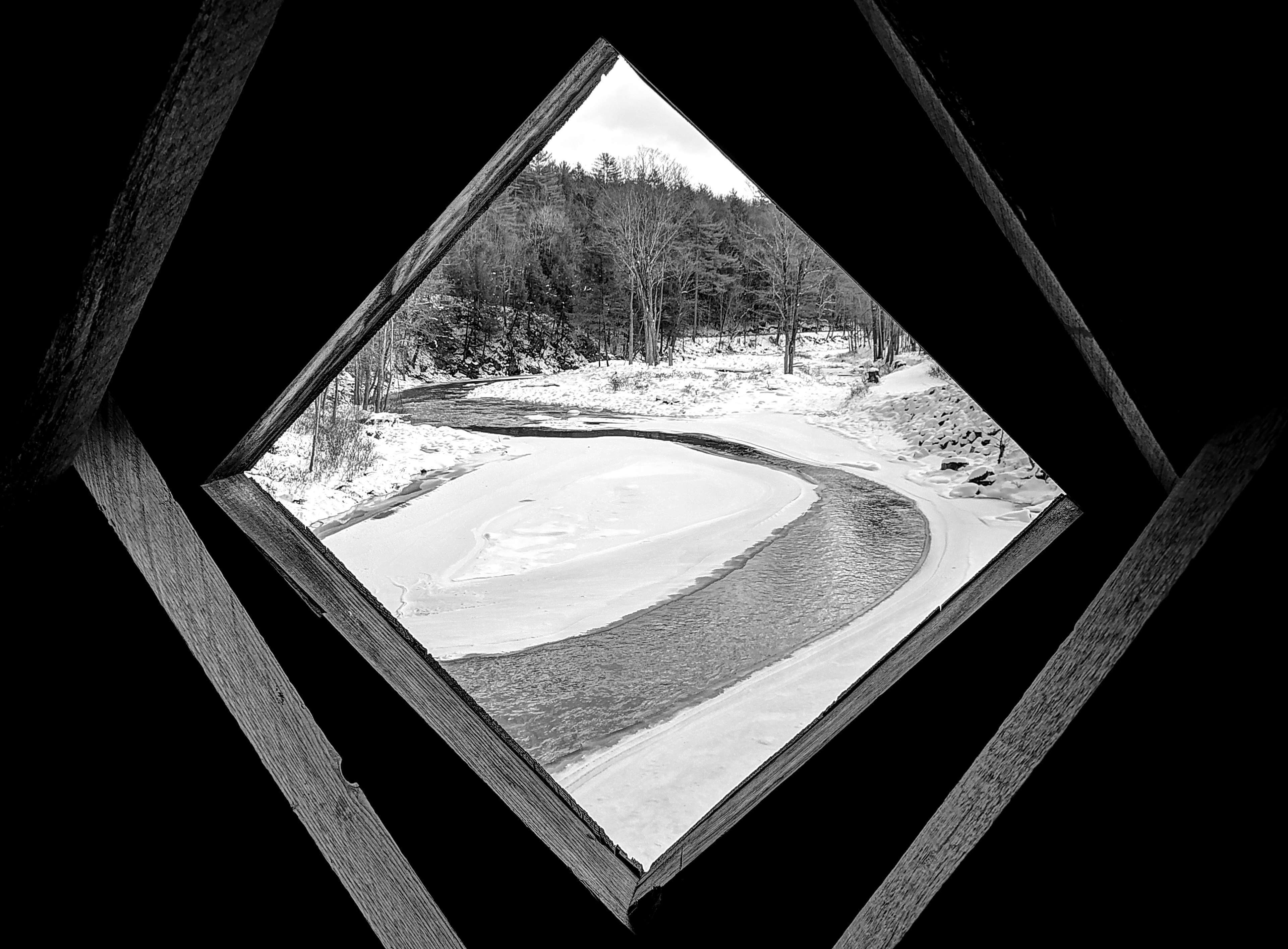
View from the Hall

Stone Village Historic District (1838-60)
Bellows falls, vermont
Bellows falls, vermont

Bombus Bimaculatus queen
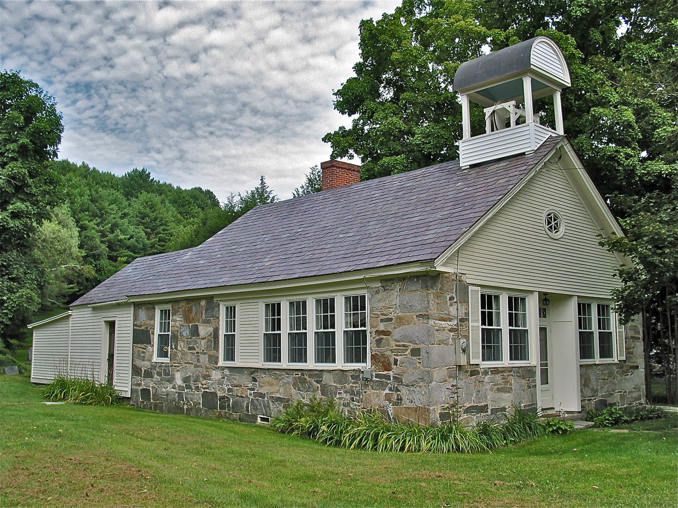
Stone Village Historic District (1838-60) – Schoolhouse

Bombus Bimaculatus queen
Bellows falls, vermont

Bombus griseocollis, under wing view, Rockingham, 5/22/2012

029/365 29-December-2012
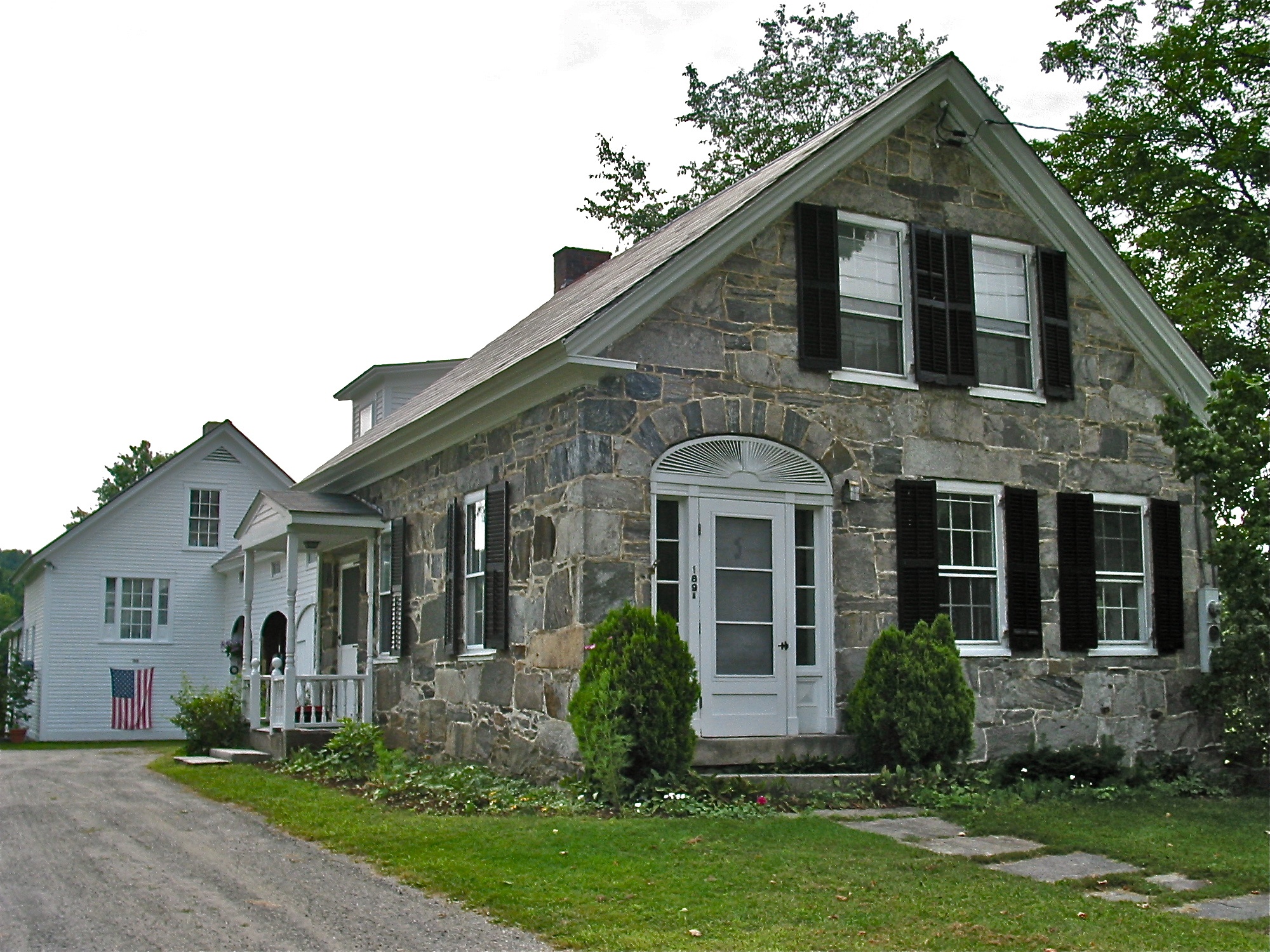
Stone Village Historic District (1838-60)

View from Cherry Hill Farm Springfield Vermont
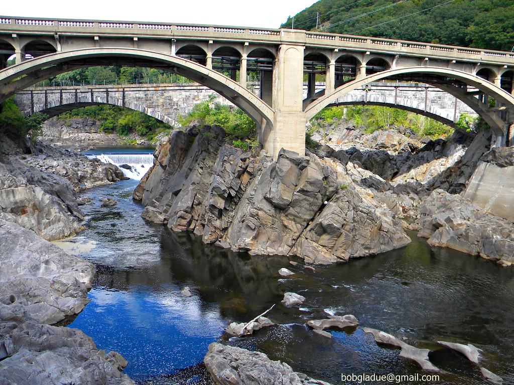
Bellows falls, vermont

Stone Village Historic District (1838-60)
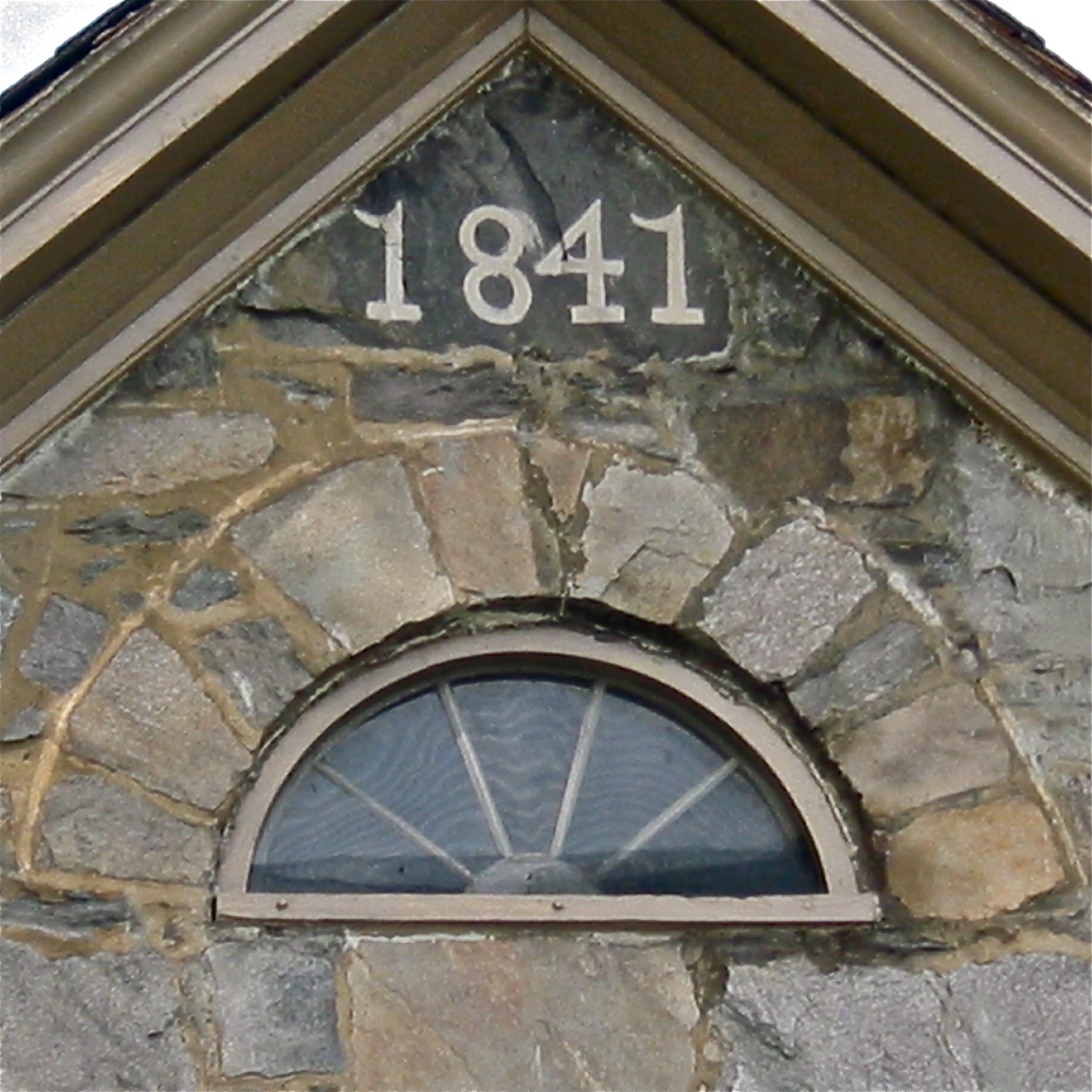
Stone Village Historic District (1838-60)

Bombus Bimaculatus queen

"Mr. McGee, Don't Make Me Angry!"
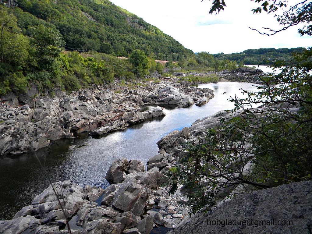
Connecticut River Backwater

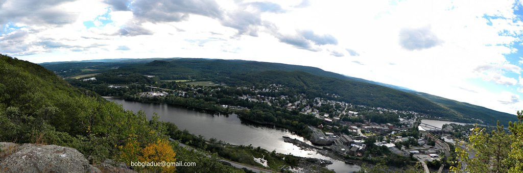
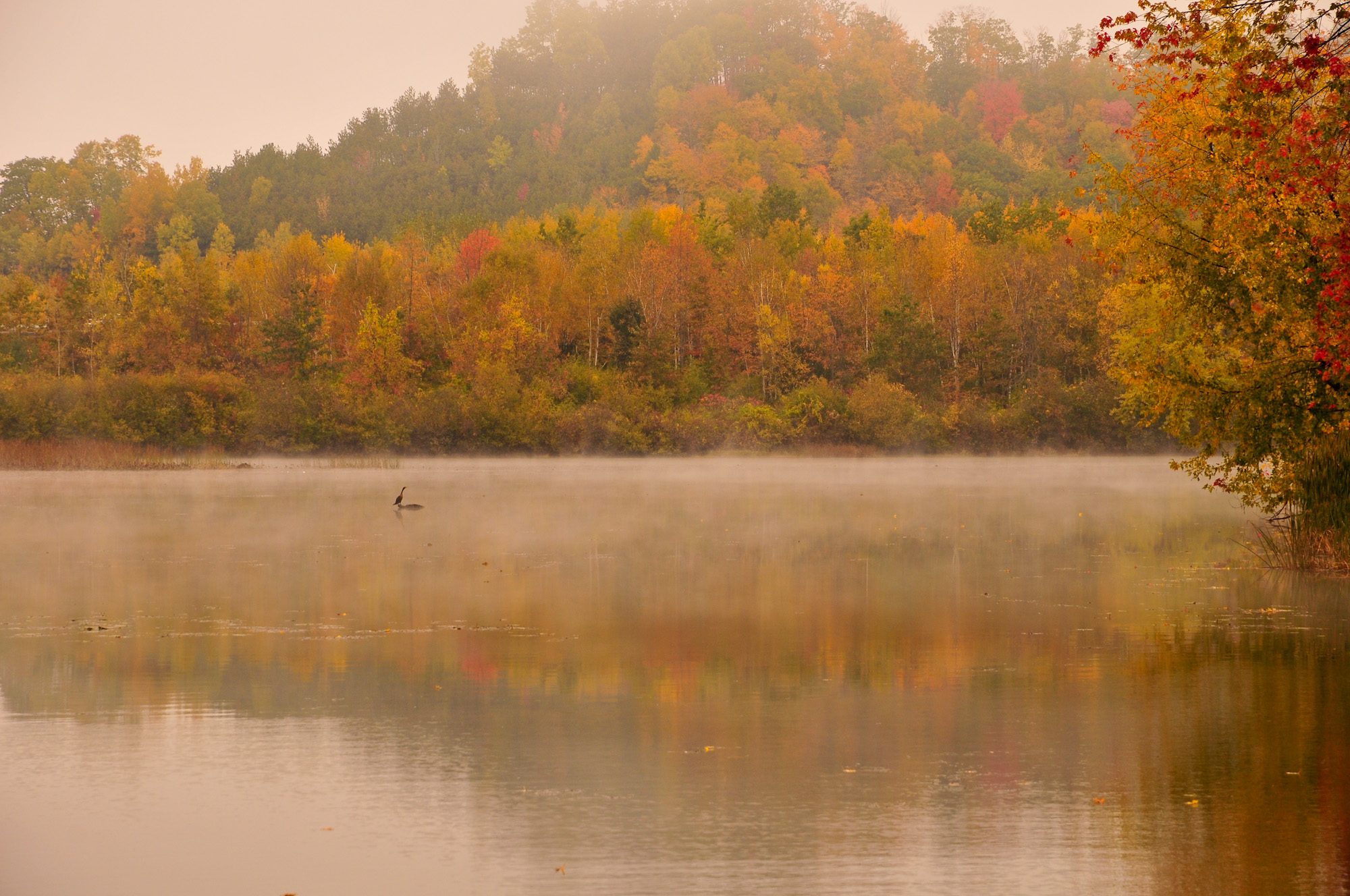
Springfield on a warm autumn day.
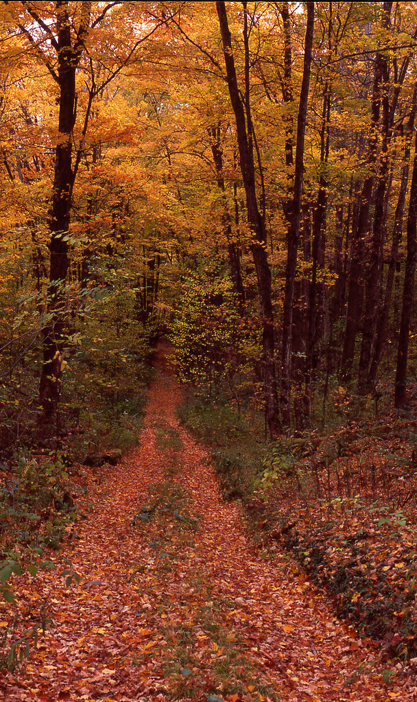
Trees 4a

The Green of Spring
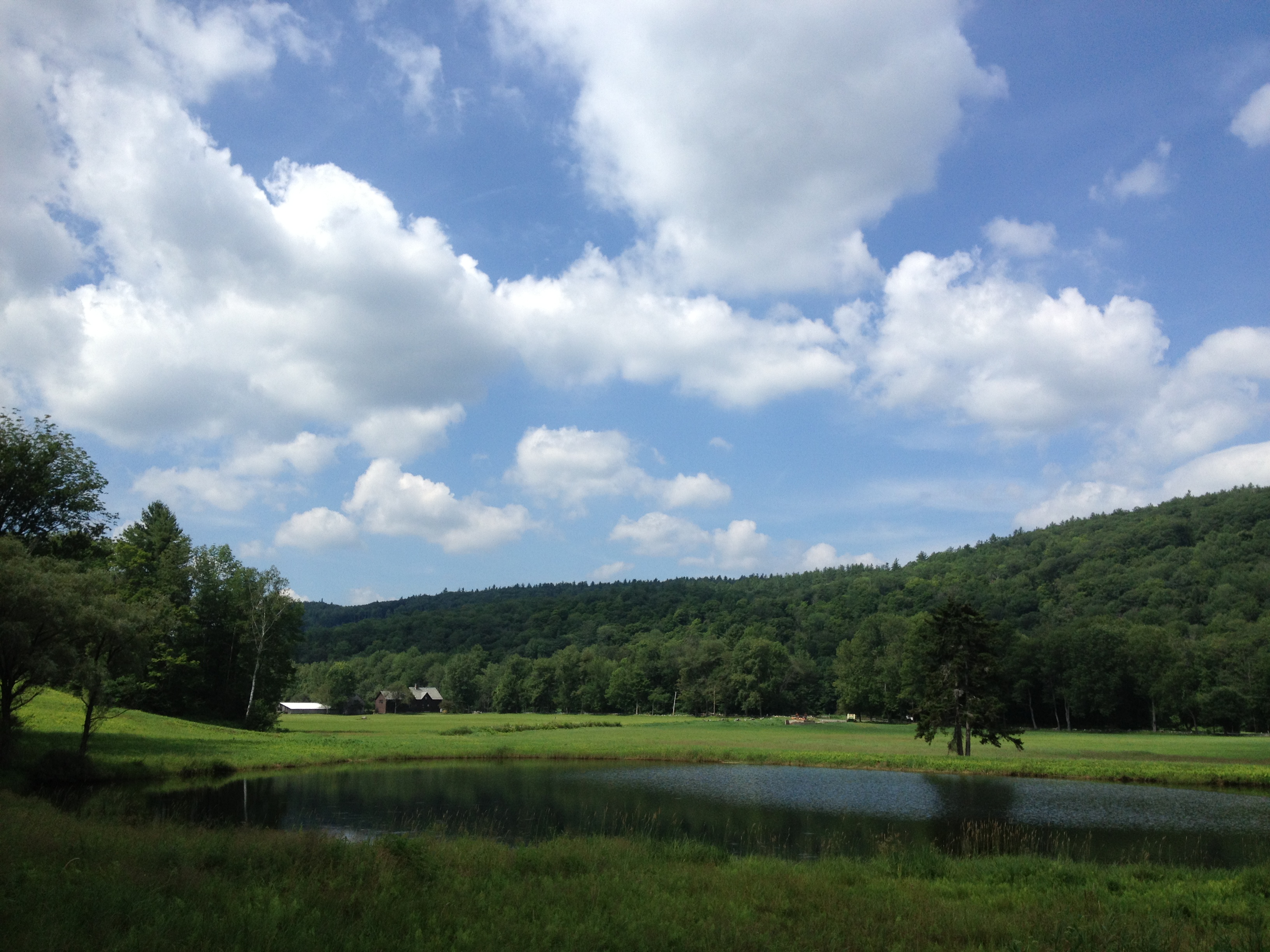
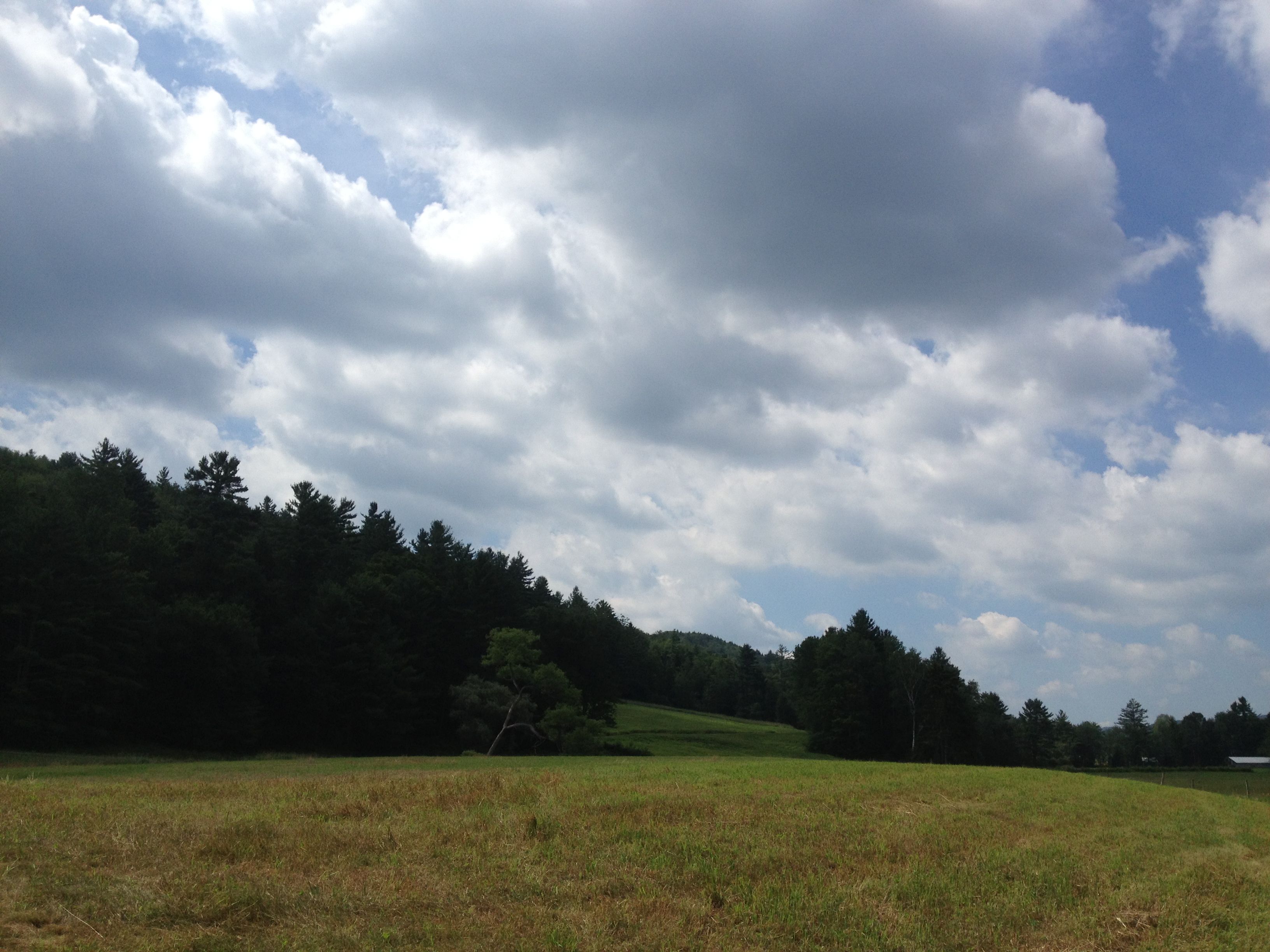
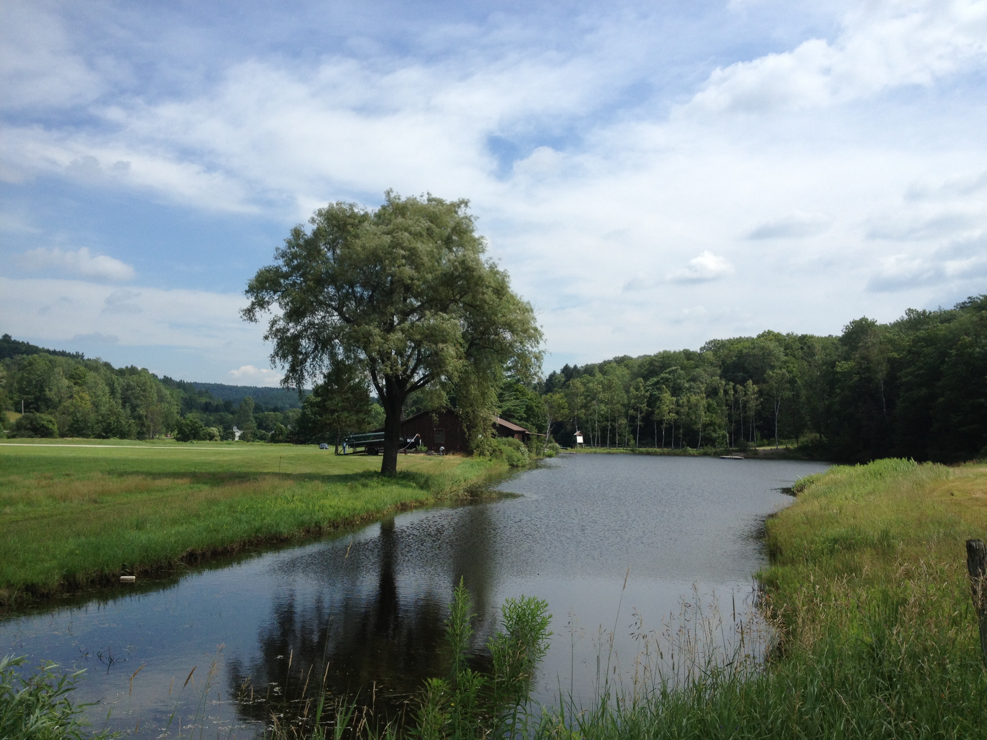
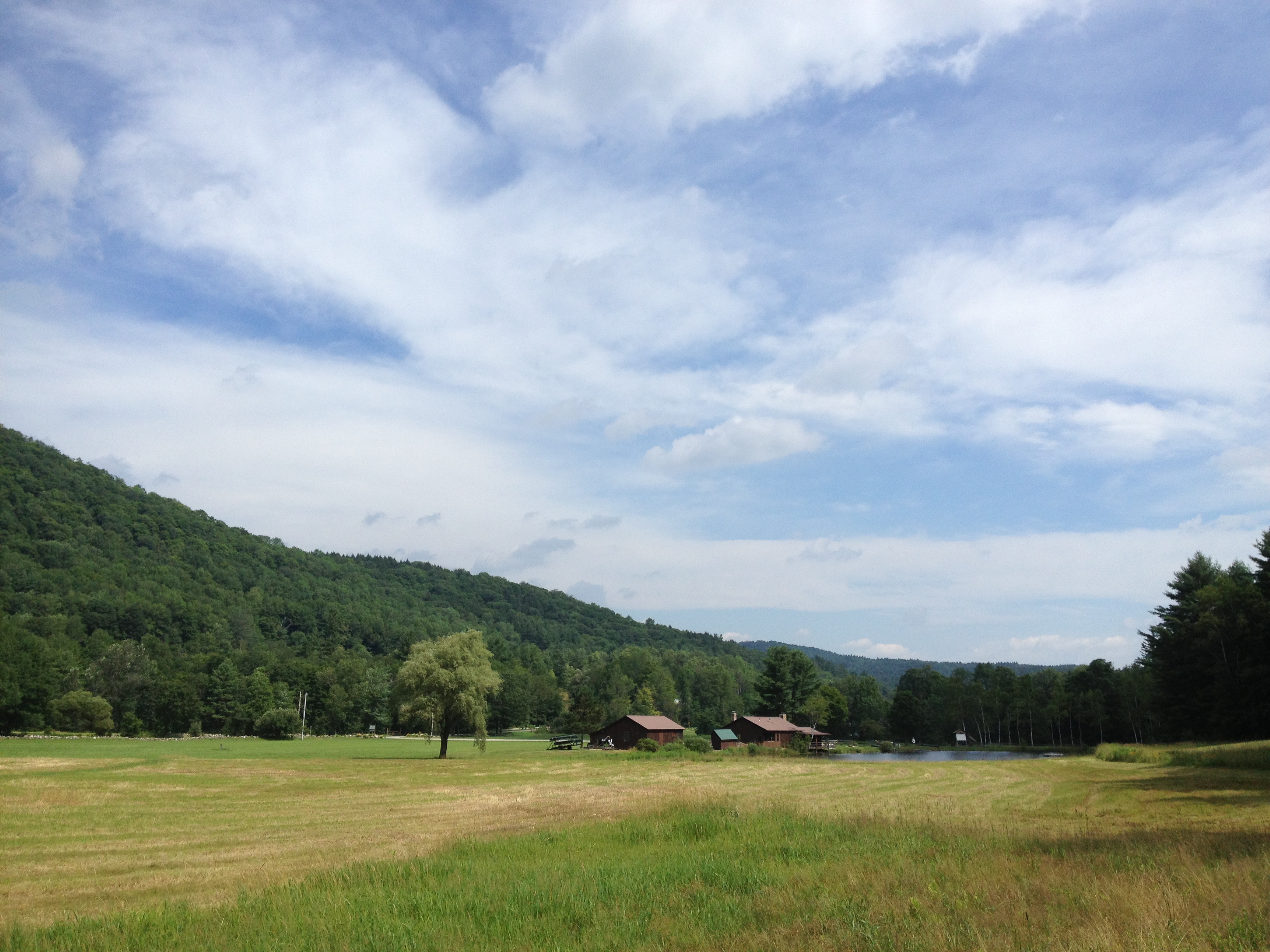
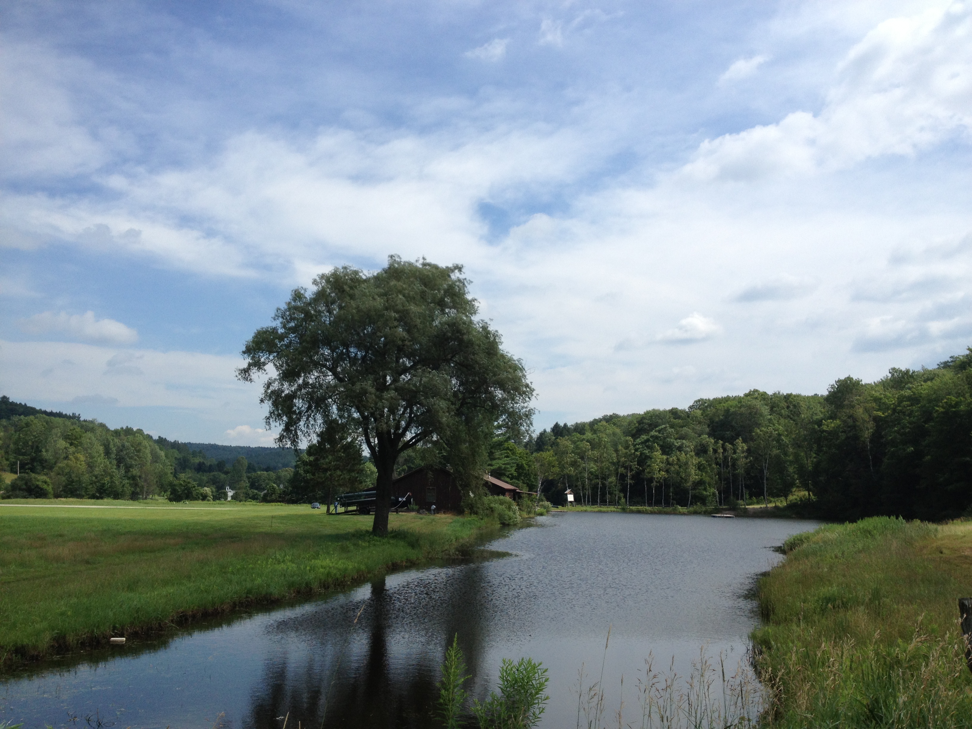
2013-07-19 10.41.18
2013-07-19 10.41.48

2013-07-19 10.41.26
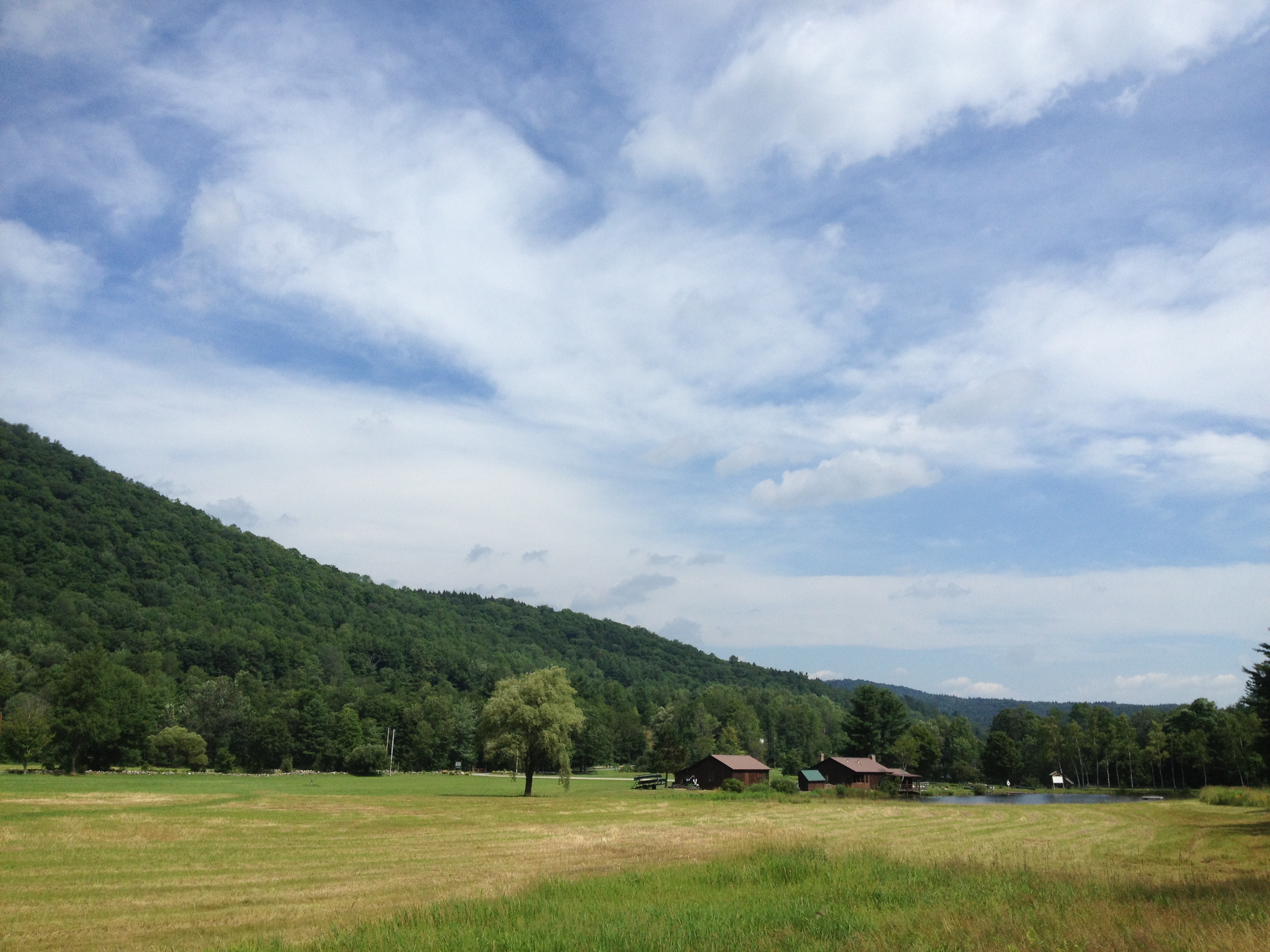
2013-07-19 10.41.45
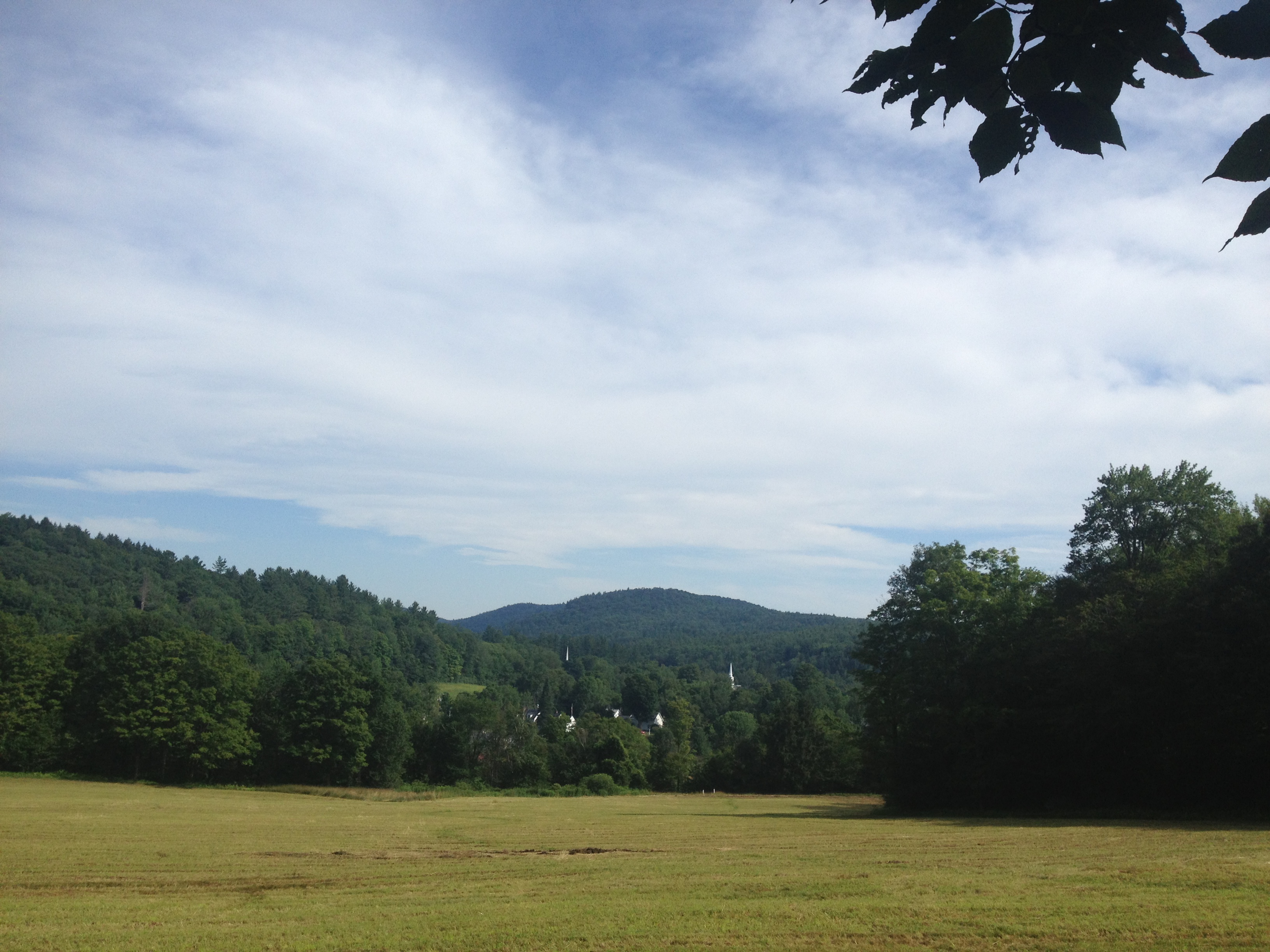
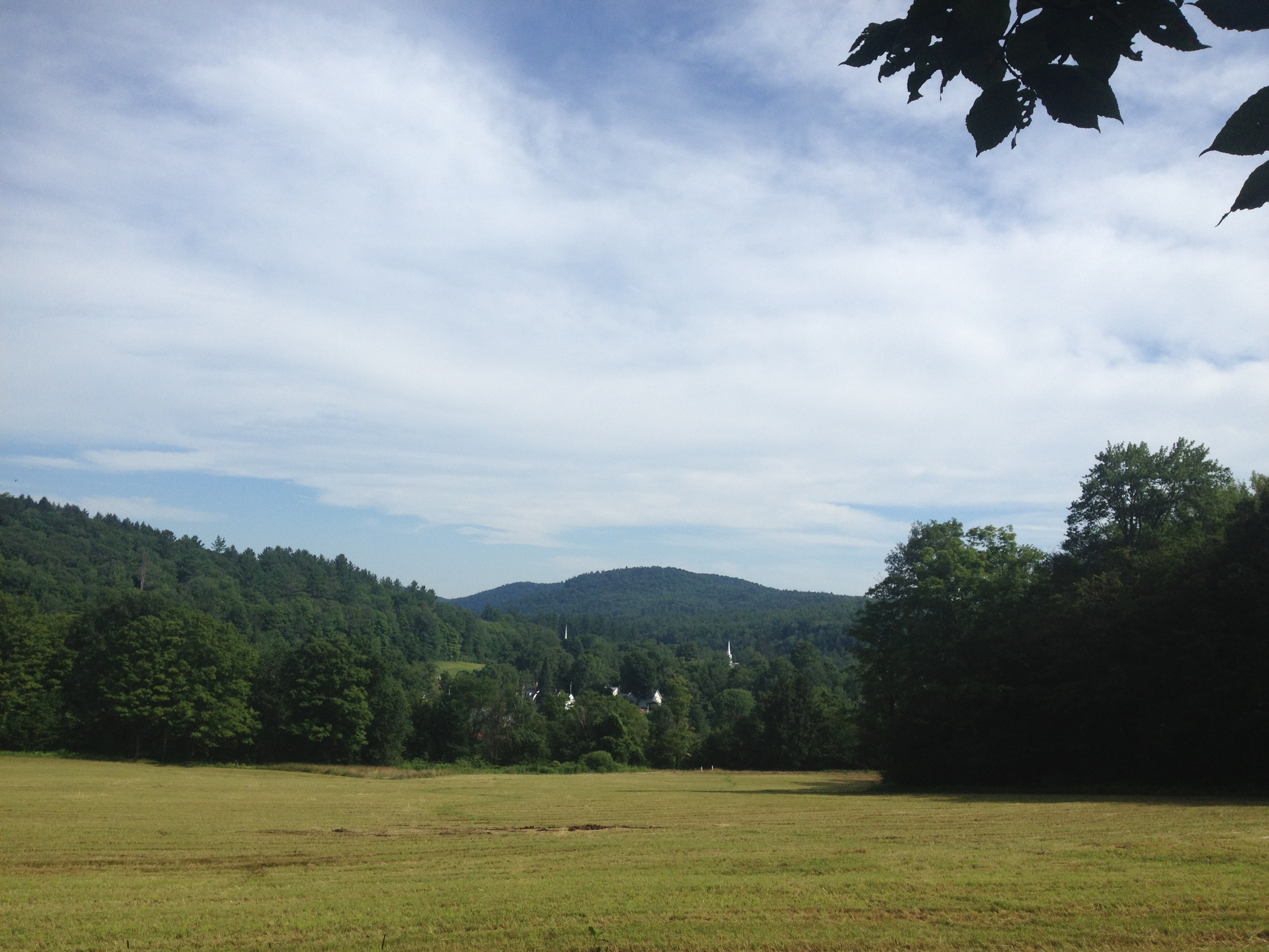
2013-07-19 09.31.48
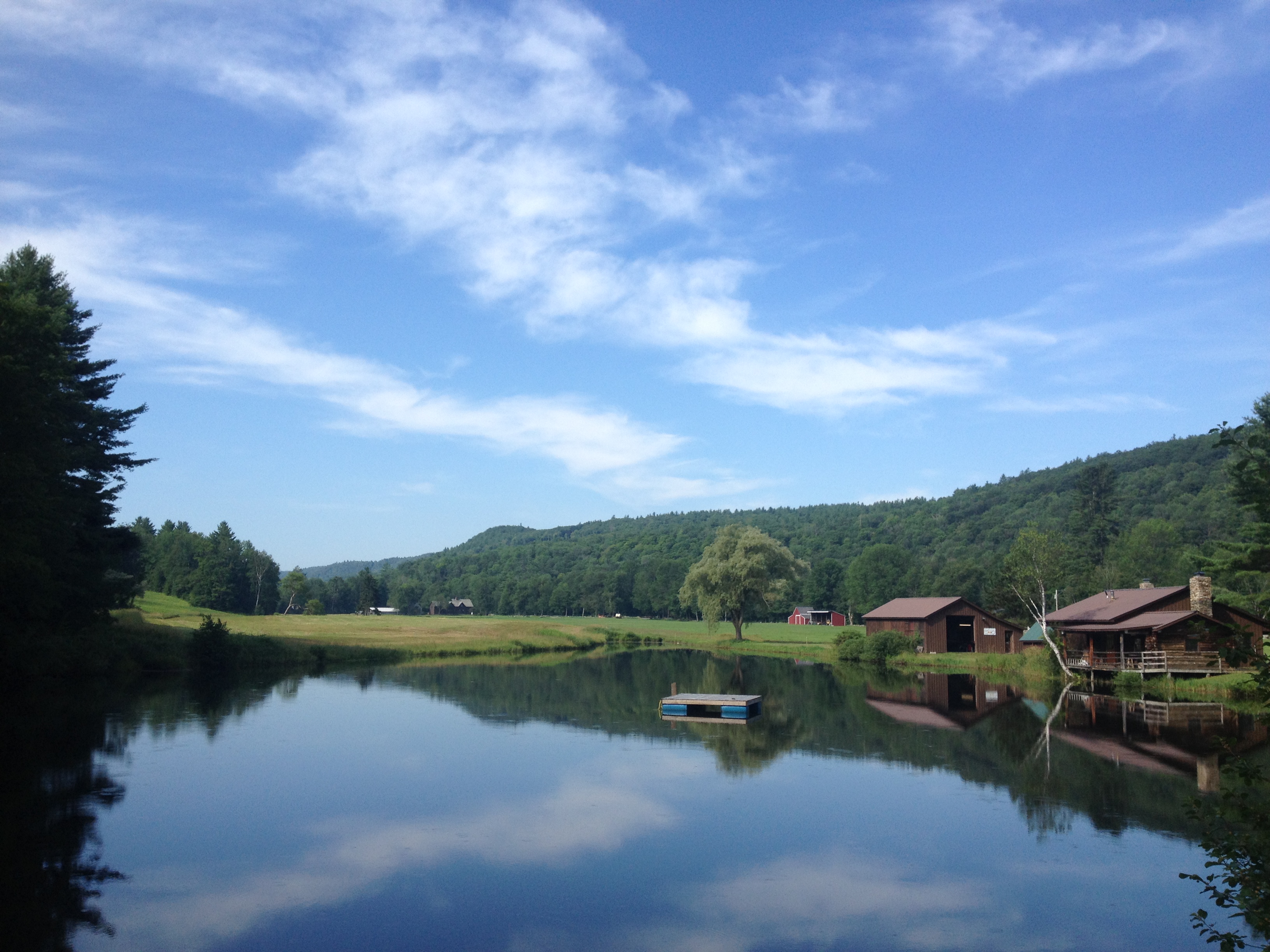
2013-07-19 10.44.20
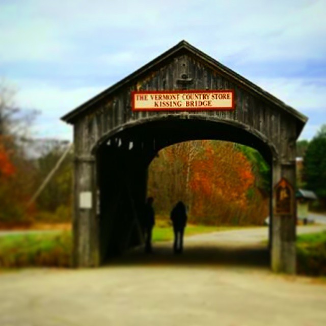
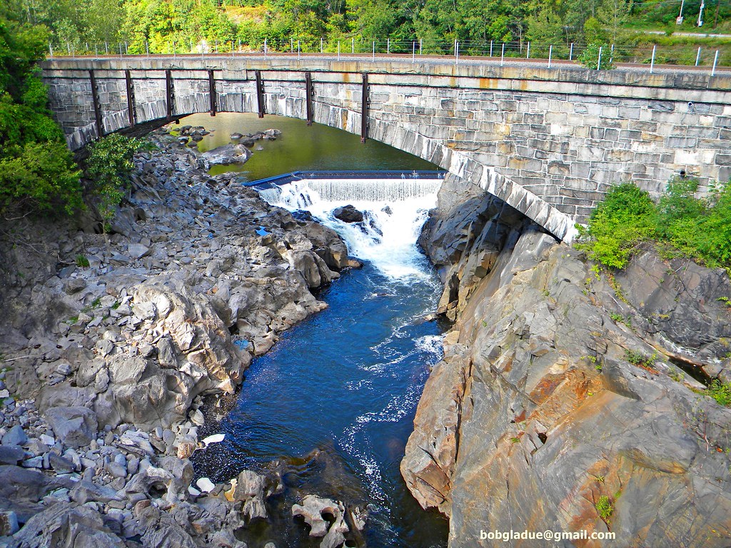
Vermont Bridge
2013-07-19 09.20.13
2013-07-19 09.31.51

2013-07-19 10.44.30

2013-07-19 10.37.31

2013-07-19 09.31.46

2013-07-19 10.44.31-2
2013-07-19 10.44.28
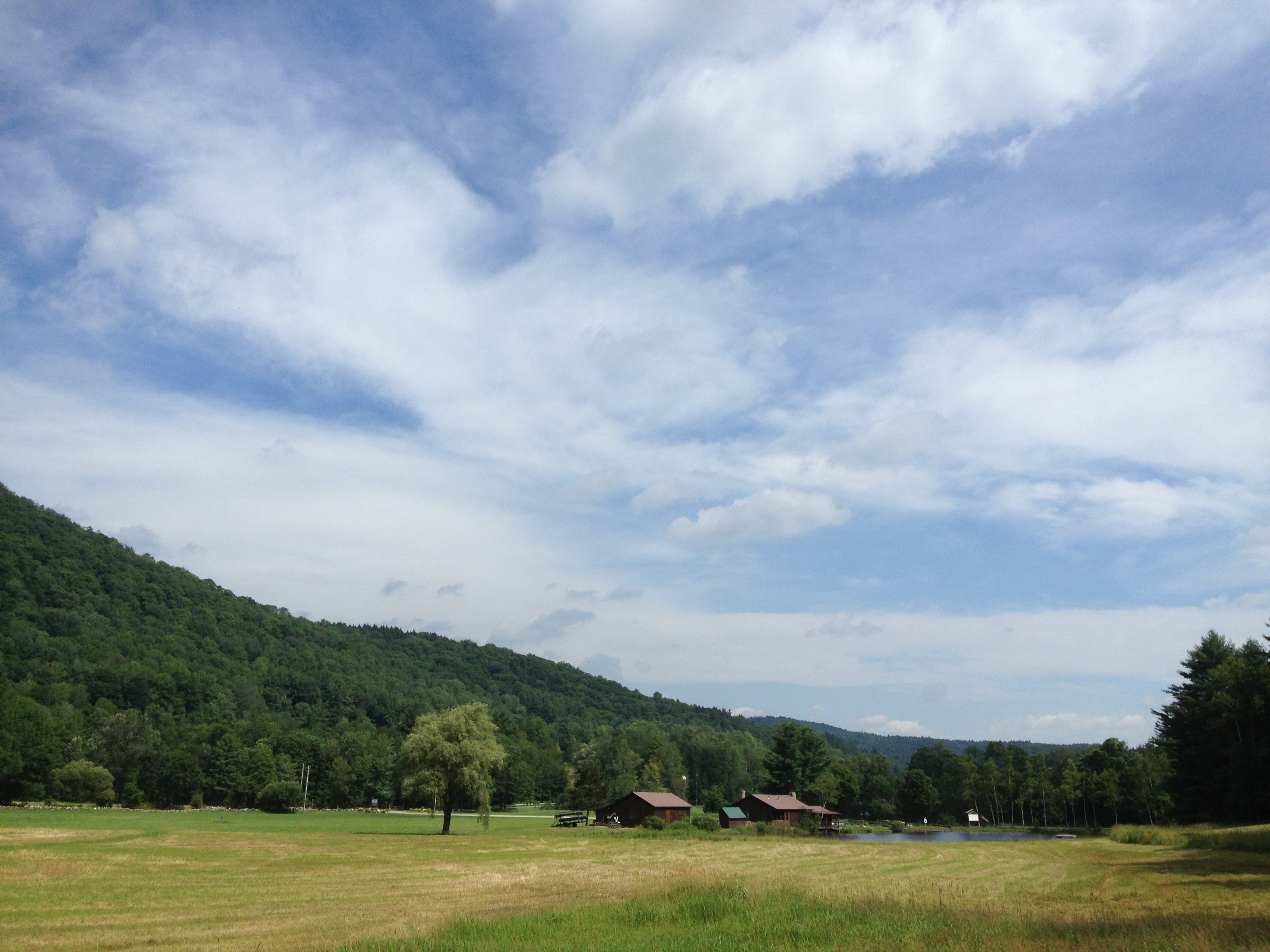
2013-07-19 10.41.40

Flamstead Road - Chester VT [painting]
2013-07-19 10.44.31-1
Topographic Map of Town of Rockingham, VT, USA
Find elevation by address:

Places in Town of Rockingham, VT, USA:
Places near Town of Rockingham, VT, USA:
4 Rockingham Hill Rd, Bellows Falls, VT, USA
735 Pleasant Valley Rd
228 Parker Hill Rd
228 Parker Hill Rd
522 Parker Hill Rd
54 Paradise Hill Rd
568 Parker Hill Rd
700 Rockingham Hill Rd
59 Old Ferry Rd, Charlestown, NH, USA
Bellows Falls Rd, Charlestown, NH, USA
811 Missing Link Rd
Saxtons River
36 Green St
113 Atcherson Hollow Rd
105 Atcherson Hollow Rd
Bellows Falls
940 Saxtons River Rd
20 Westminster Terrace
369 Milky Way
Charlestown
Recent Searches:
- Elevation of Corso Fratelli Cairoli, 35, Macerata MC, Italy
- Elevation of Tallevast Rd, Sarasota, FL, USA
- Elevation of 4th St E, Sonoma, CA, USA
- Elevation of Black Hollow Rd, Pennsdale, PA, USA
- Elevation of Oakland Ave, Williamsport, PA, USA
- Elevation of Pedrógão Grande, Portugal
- Elevation of Klee Dr, Martinsburg, WV, USA
- Elevation of Via Roma, Pieranica CR, Italy
- Elevation of Tavkvetili Mountain, Georgia
- Elevation of Hartfords Bluff Cir, Mt Pleasant, SC, USA