Elevation of Tortuga, Haiti
Location: Haiti > Nord-ouest > Marie Terrien >
Longitude: -72.792461
Latitude: 20.0548685
Elevation: 174m / 571feet
Barometric Pressure: 99KPa
Elevation Map:
Satellite Map:
Related Photos:
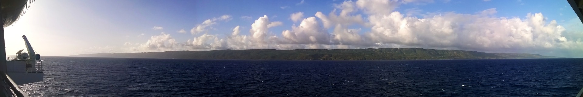
Tortuga Island

Freedom of the Seas

Así atardece en el Norte de Haití
Der Mann im (vom) Mond

Haiti Sunsent

IMG_1687 copy

Caribbean Cruise

Room Service Menu

Room Service Menu

Room Service Menu

Caribbean Cruise

Caribbean Cruise
Topographic Map of Tortuga, Haiti
Find elevation by address:

Places near Tortuga, Haiti:
Recent Searches:
- Elevation of Corso Fratelli Cairoli, 35, Macerata MC, Italy
- Elevation of Tallevast Rd, Sarasota, FL, USA
- Elevation of 4th St E, Sonoma, CA, USA
- Elevation of Black Hollow Rd, Pennsdale, PA, USA
- Elevation of Oakland Ave, Williamsport, PA, USA
- Elevation of Pedrógão Grande, Portugal
- Elevation of Klee Dr, Martinsburg, WV, USA
- Elevation of Via Roma, Pieranica CR, Italy
- Elevation of Tavkvetili Mountain, Georgia
- Elevation of Hartfords Bluff Cir, Mt Pleasant, SC, USA