Elevation of Tongue Mountain, Montana, USA
Location: United States > Montana > Flathead County > Kalispell >
Longitude: -113.92566
Latitude: 48.1969043
Elevation: 2056m / 6745feet
Barometric Pressure: 79KPa
Elevation Map:
Satellite Map:
Related Photos:
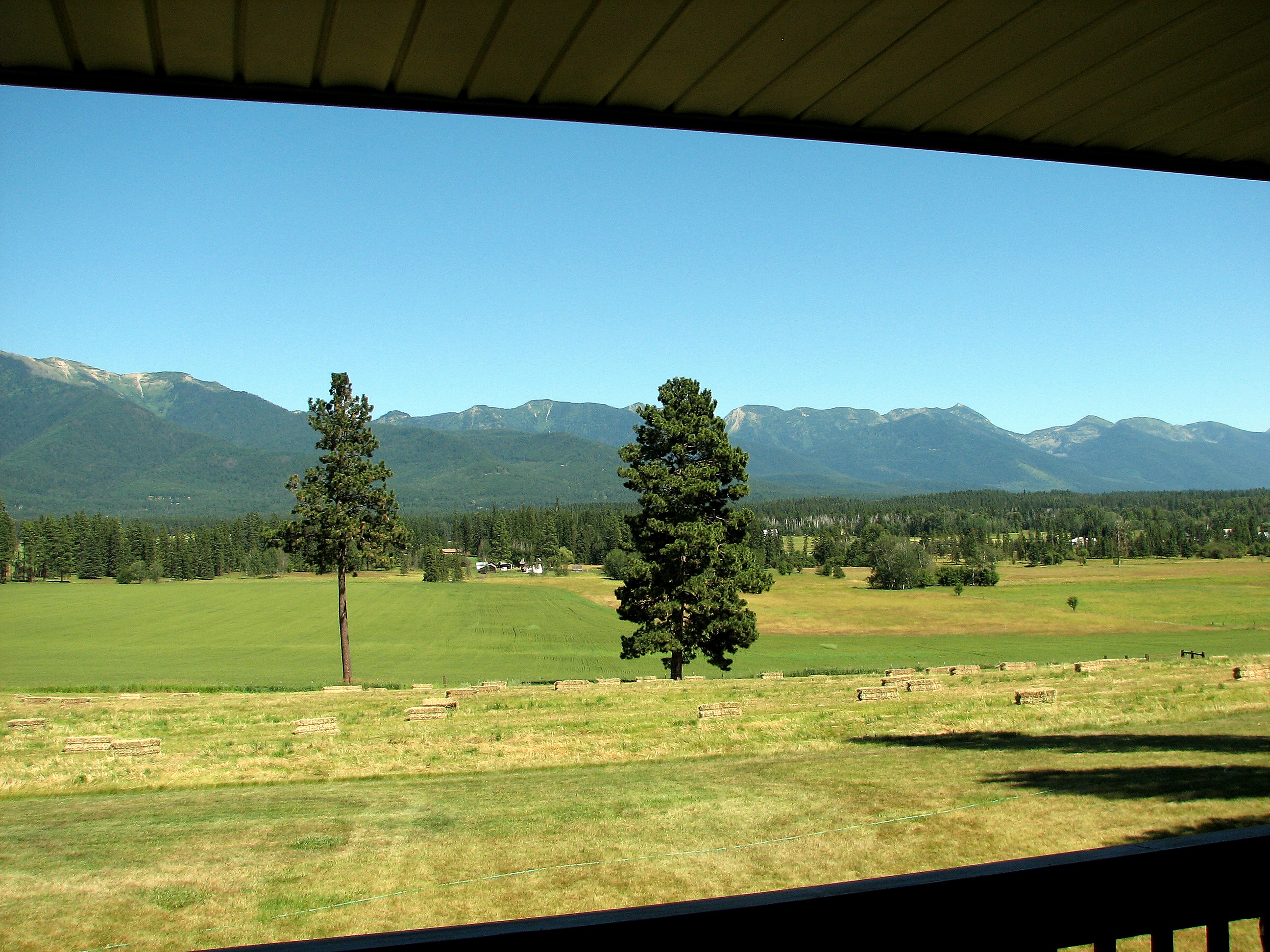
What a view
Topographic Map of Tongue Mountain, Montana, USA
Find elevation by address:

Places near Tongue Mountain, Montana, USA:
Strawberry Mountain
410 Sherman Ln
995 Bear Creek Rd
Hash Mountain
1310 Mccaffery Rd
1050 5 Deer Ln
620 Echo Chalet Dr
1015 Blue Lake Ln
115 Wakewood Dr
263 E Many Lakes Dr
Drifting Way
Doris Ridge
210 Shawnee Dr
12863 Kelley Dr
118 Many Lakes Dr
1025 Labrant Ridge Rd
Doris Mountain
Bigfork
100 Doubletree Dr
261 Chapman Hill Rd
Recent Searches:
- Elevation of Corso Fratelli Cairoli, 35, Macerata MC, Italy
- Elevation of Tallevast Rd, Sarasota, FL, USA
- Elevation of 4th St E, Sonoma, CA, USA
- Elevation of Black Hollow Rd, Pennsdale, PA, USA
- Elevation of Oakland Ave, Williamsport, PA, USA
- Elevation of Pedrógão Grande, Portugal
- Elevation of Klee Dr, Martinsburg, WV, USA
- Elevation of Via Roma, Pieranica CR, Italy
- Elevation of Tavkvetili Mountain, Georgia
- Elevation of Hartfords Bluff Cir, Mt Pleasant, SC, USA