Elevation of Tompobulu, Gowa Regency, South Sulawesi, Indonesia
Location: Indonesia > South Sulawesi > Gowa Regency >
Longitude: 119.869949
Latitude: -5.4050428
Elevation: 955m / 3133feet
Barometric Pressure: 90KPa
Elevation Map:
Satellite Map:
Related Photos:
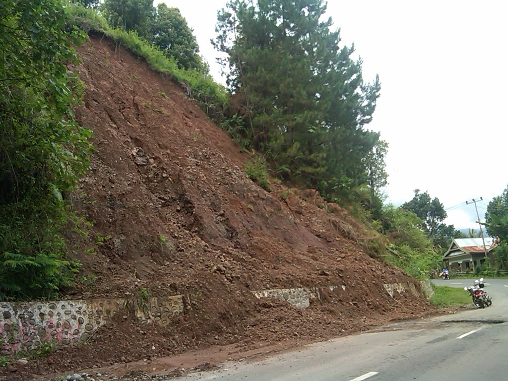
Longsor di Malino

@kebun strawberry #ainunapp
Topographic Map of Tompobulu, Gowa Regency, South Sulawesi, Indonesia
Find elevation by address:

Places in Tompobulu, Gowa Regency, South Sulawesi, Indonesia:
Places near Tompobulu, Gowa Regency, South Sulawesi, Indonesia:
Rappolemba
Moncong Lompobattang
Gowa Regency
Bantaeng Regency
Jeneponto Regency
Tanete
Sinjai Regency
Pangkajene
Barru Regency
Barru Sub-district
Kantor Bupati Soppeng
Soppeng Regency
Recent Searches:
- Elevation of Corso Fratelli Cairoli, 35, Macerata MC, Italy
- Elevation of Tallevast Rd, Sarasota, FL, USA
- Elevation of 4th St E, Sonoma, CA, USA
- Elevation of Black Hollow Rd, Pennsdale, PA, USA
- Elevation of Oakland Ave, Williamsport, PA, USA
- Elevation of Pedrógão Grande, Portugal
- Elevation of Klee Dr, Martinsburg, WV, USA
- Elevation of Via Roma, Pieranica CR, Italy
- Elevation of Tavkvetili Mountain, Georgia
- Elevation of Hartfords Bluff Cir, Mt Pleasant, SC, USA