Elevation map of Tocopilla Province, Antofagasta Region, Chile
Location: Chile > Antofagasta Region >
Longitude: -69.478454
Latitude: -22.226695
Elevation: 1175m / 3855feet
Barometric Pressure: 88KPa
Elevation Map:
Satellite Map:
Related Photos:
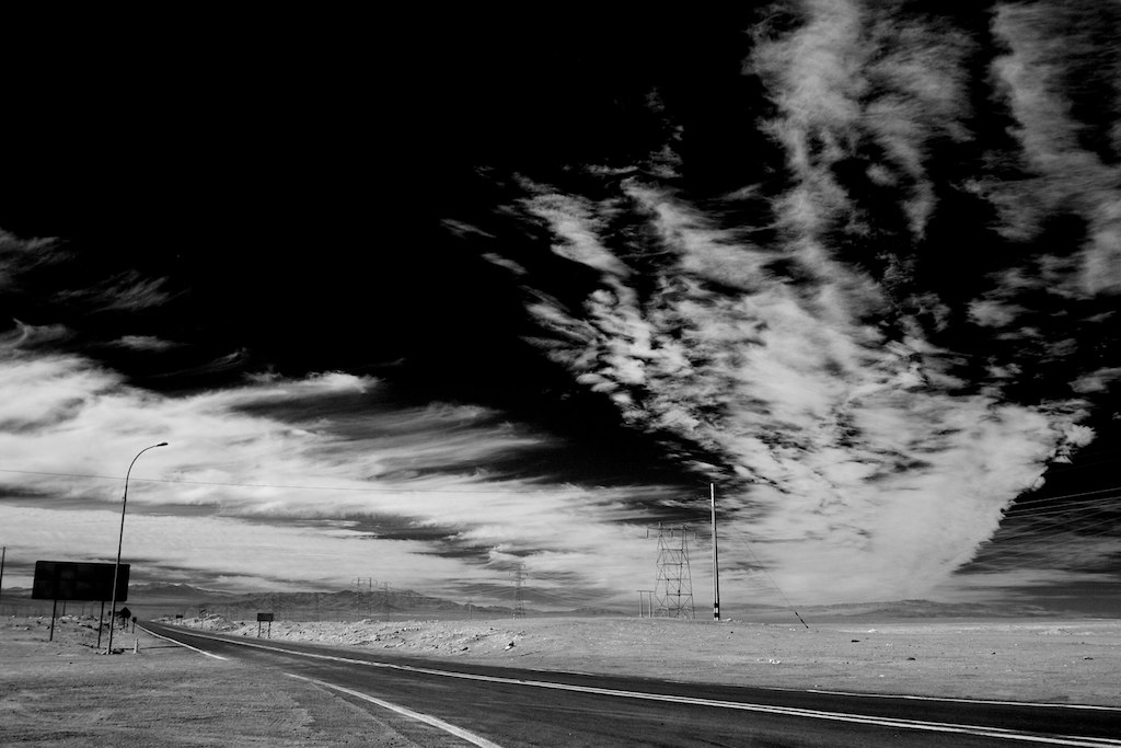
Pan-American Highway

20150101-1144
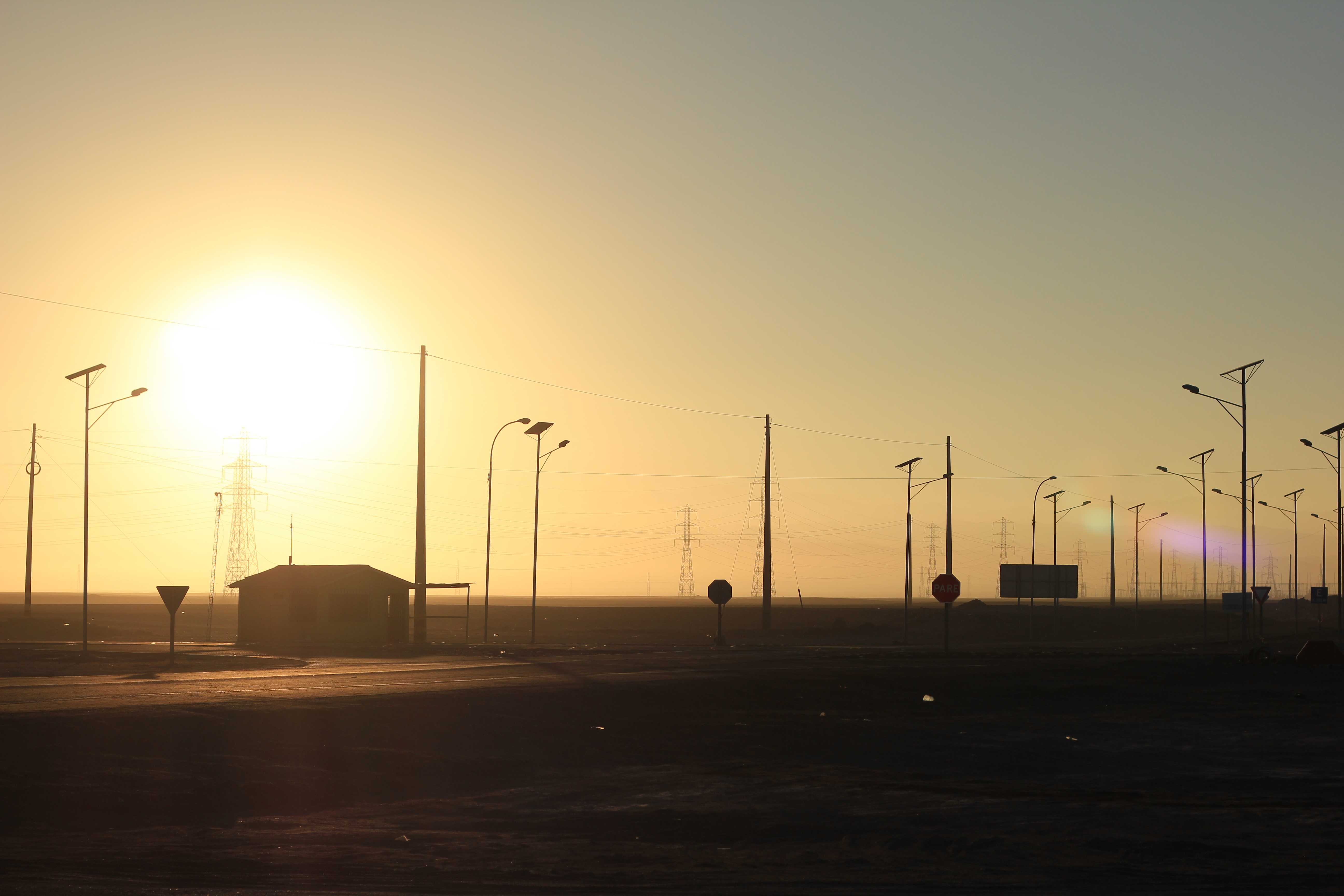
driving east
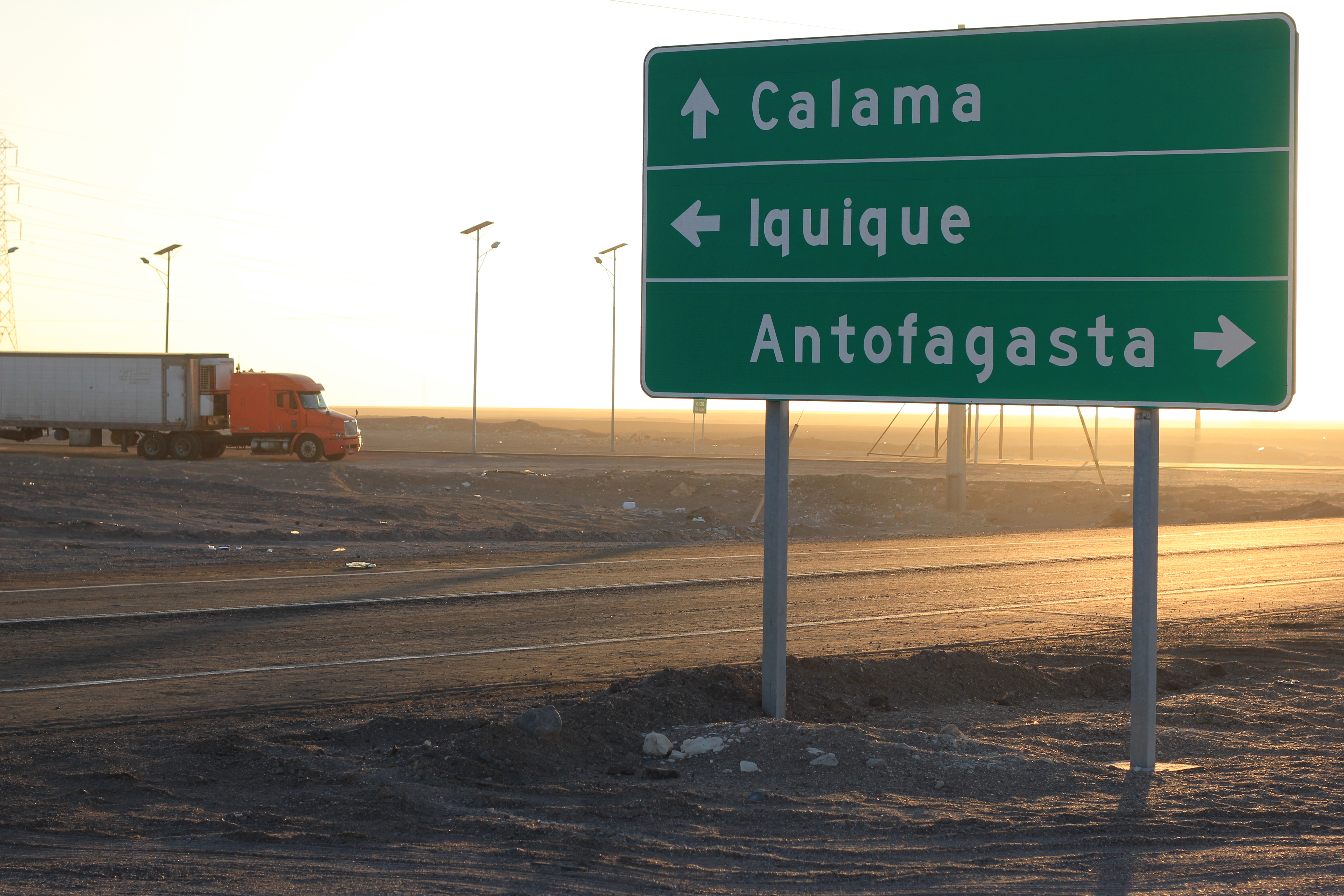
highways 24 and 5
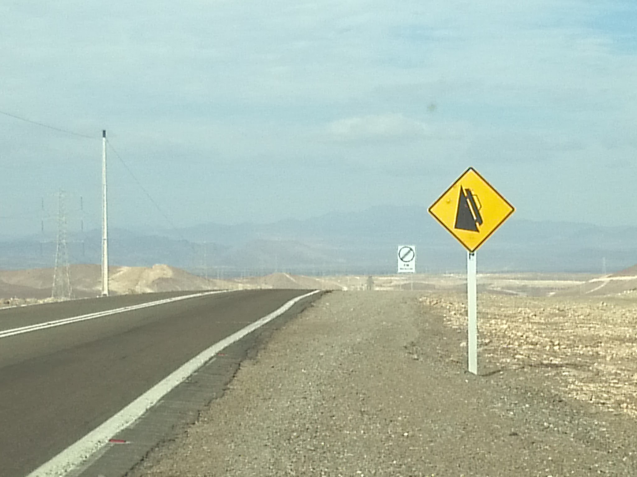
Que significa?
Topographic Map of Tocopilla Province, Antofagasta Region, Chile
Find elevation by address:

Places in Tocopilla Province, Antofagasta Region, Chile:
Places near Tocopilla Province, Antofagasta Region, Chile:
Chuquicamata, Codelco Ne
Calama
Calama
Estadio Municipal De Calama
Cobreloa S A D P
Airport El Loa
Ruta 1, Tocopilla, Región de Antofagasta, Chile
Recent Searches:
- Elevation of Corso Fratelli Cairoli, 35, Macerata MC, Italy
- Elevation of Tallevast Rd, Sarasota, FL, USA
- Elevation of 4th St E, Sonoma, CA, USA
- Elevation of Black Hollow Rd, Pennsdale, PA, USA
- Elevation of Oakland Ave, Williamsport, PA, USA
- Elevation of Pedrógão Grande, Portugal
- Elevation of Klee Dr, Martinsburg, WV, USA
- Elevation of Via Roma, Pieranica CR, Italy
- Elevation of Tavkvetili Mountain, Georgia
- Elevation of Hartfords Bluff Cir, Mt Pleasant, SC, USA