Elevation of Toccoa River Forest, Mineral Bluff, GA, USA
Location: United States > Georgia > Fannin County > Mineral Bluff >
Longitude: -84.306153
Latitude: 34.9131215
Elevation: 530m / 1739feet
Barometric Pressure: 95KPa
Elevation Map:
Satellite Map:
Related Photos:

Springtime's Magic
Don't You Think Simpler Is Better?

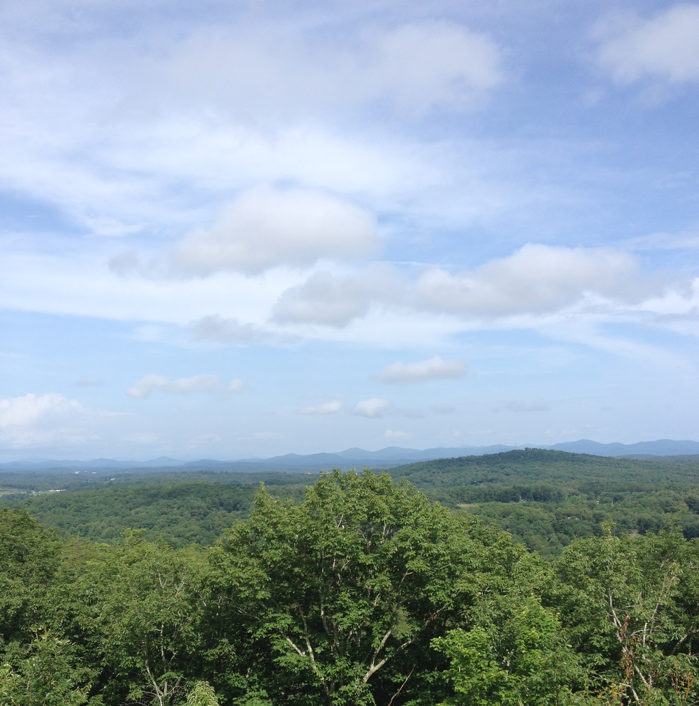
Trees in Blue Ridge
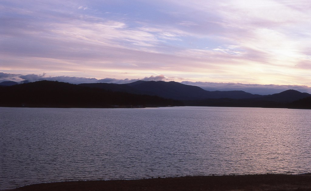
Sunset over Lake Blue Ridge

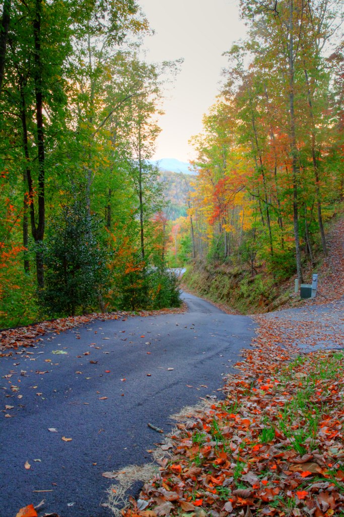
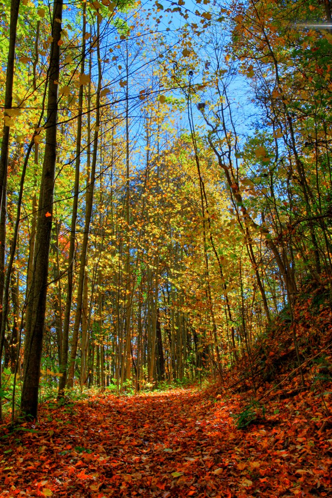
Autumn in Blue Ridge 11
Autumn in Blue Ridge 10

Autumn in Blue Ridge 8
Blue Ridge, GA

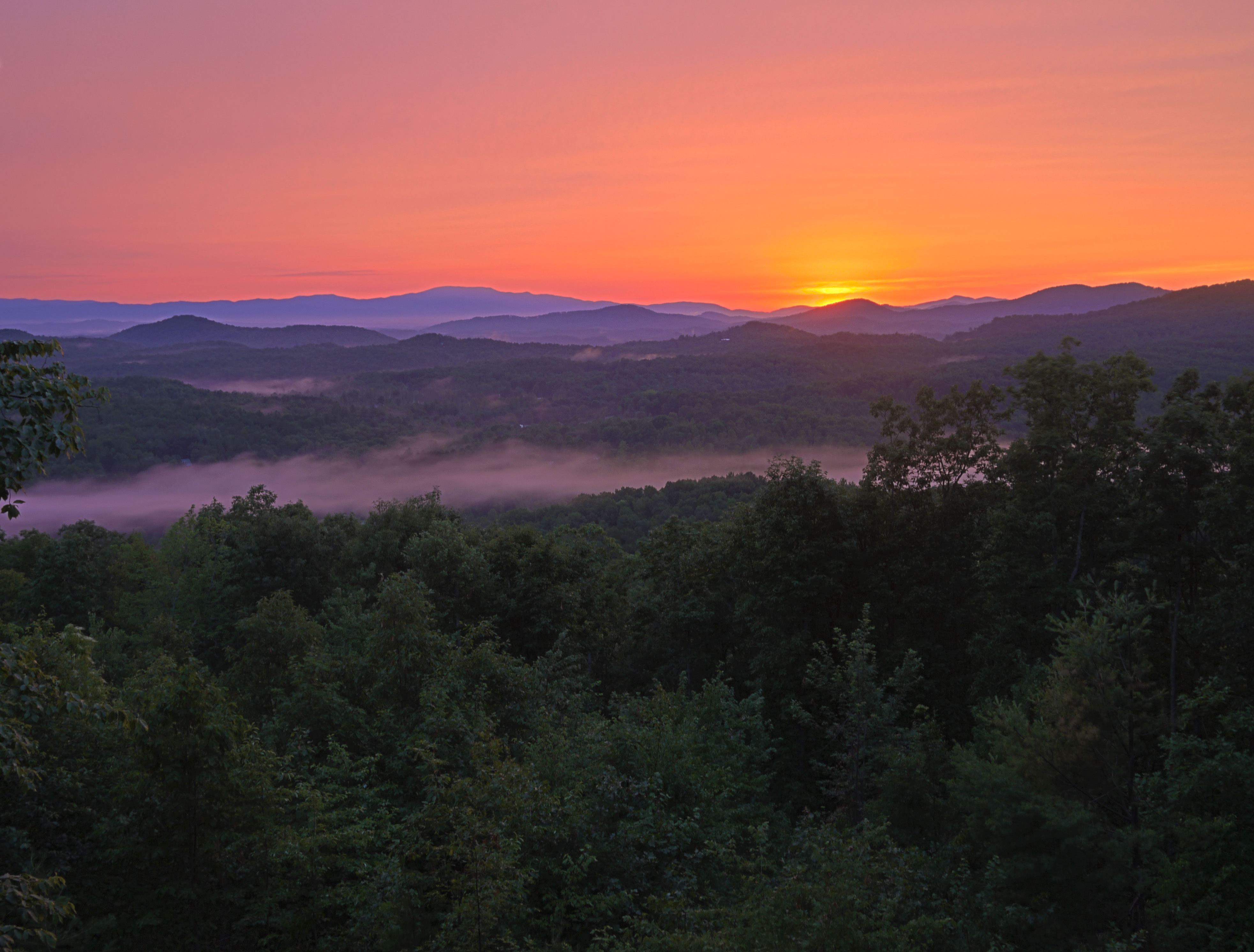
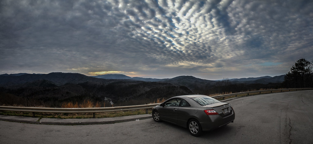
View from Three Bears Bluff - Fire on the Mountain.
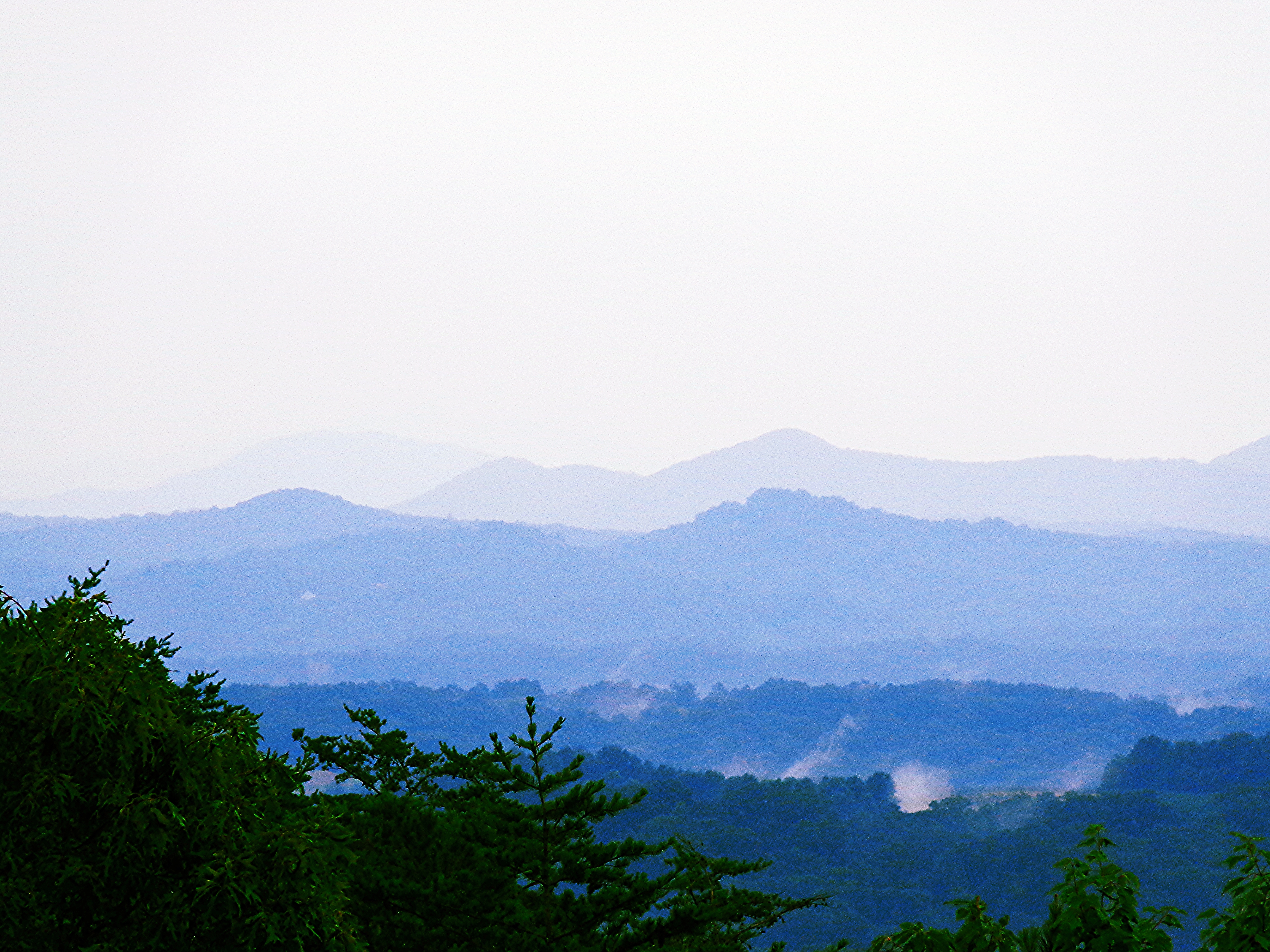
Blue Ridge Mountains
Trees in Blue Ridge 5

IMG_2944-2

IMG_2972-3

Great Smoky Mountains

IMG_9726.JPG

IMG_3011-2

IMG_2972-2

IMG_3011-3
IMG_2888 Stitch
Pointed North
IMG_9738.JPG
Topographic Map of Toccoa River Forest, Mineral Bluff, GA, USA
Find elevation by address:

Places near Toccoa River Forest, Mineral Bluff, GA, USA:
365 Toccoa River Ln
Bear Walk Road
820 Toccoa River Forest
580 Moonshine Mountain Rd
87 Bear Cub Trail
375 Gibbs Dr
369 Moonshine Mountain Rd
134 Amanda Ct
Riverview Circle
113 Dallas Ln
211 Black Gum Ln
Mineral Bluff Hwy, Mineral Bluff, GA, USA
316 Toccoa Preserve Lane
221 Gibbs Point
7477 Ga-60
8162 Lakewood Hwy
7925 Mineral Bluff Hwy
415 Bailey Farm Ln
52 Woodhaven Rd
179 Deer Trail
Recent Searches:
- Elevation of Corso Fratelli Cairoli, 35, Macerata MC, Italy
- Elevation of Tallevast Rd, Sarasota, FL, USA
- Elevation of 4th St E, Sonoma, CA, USA
- Elevation of Black Hollow Rd, Pennsdale, PA, USA
- Elevation of Oakland Ave, Williamsport, PA, USA
- Elevation of Pedrógão Grande, Portugal
- Elevation of Klee Dr, Martinsburg, WV, USA
- Elevation of Via Roma, Pieranica CR, Italy
- Elevation of Tavkvetili Mountain, Georgia
- Elevation of Hartfords Bluff Cir, Mt Pleasant, SC, USA