Elevation of TN-, Washburn, TN, USA
Location: United States > Tennessee > Grainger County > Washburn >
Longitude: -83.603438
Latitude: 36.2868807
Elevation: 423m / 1388feet
Barometric Pressure: 96KPa
Elevation Map:
Satellite Map:
Related Photos:
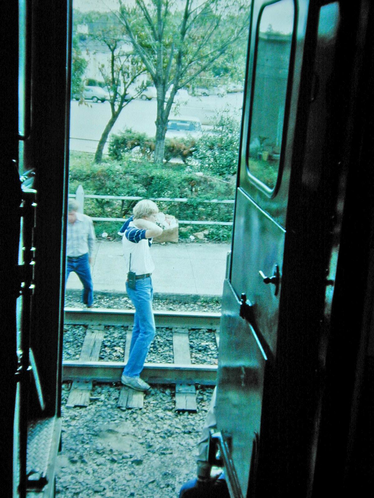
View from the Vestibule

Grainger County, TN Courthouse - Rutledge, TN

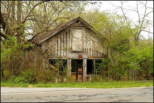
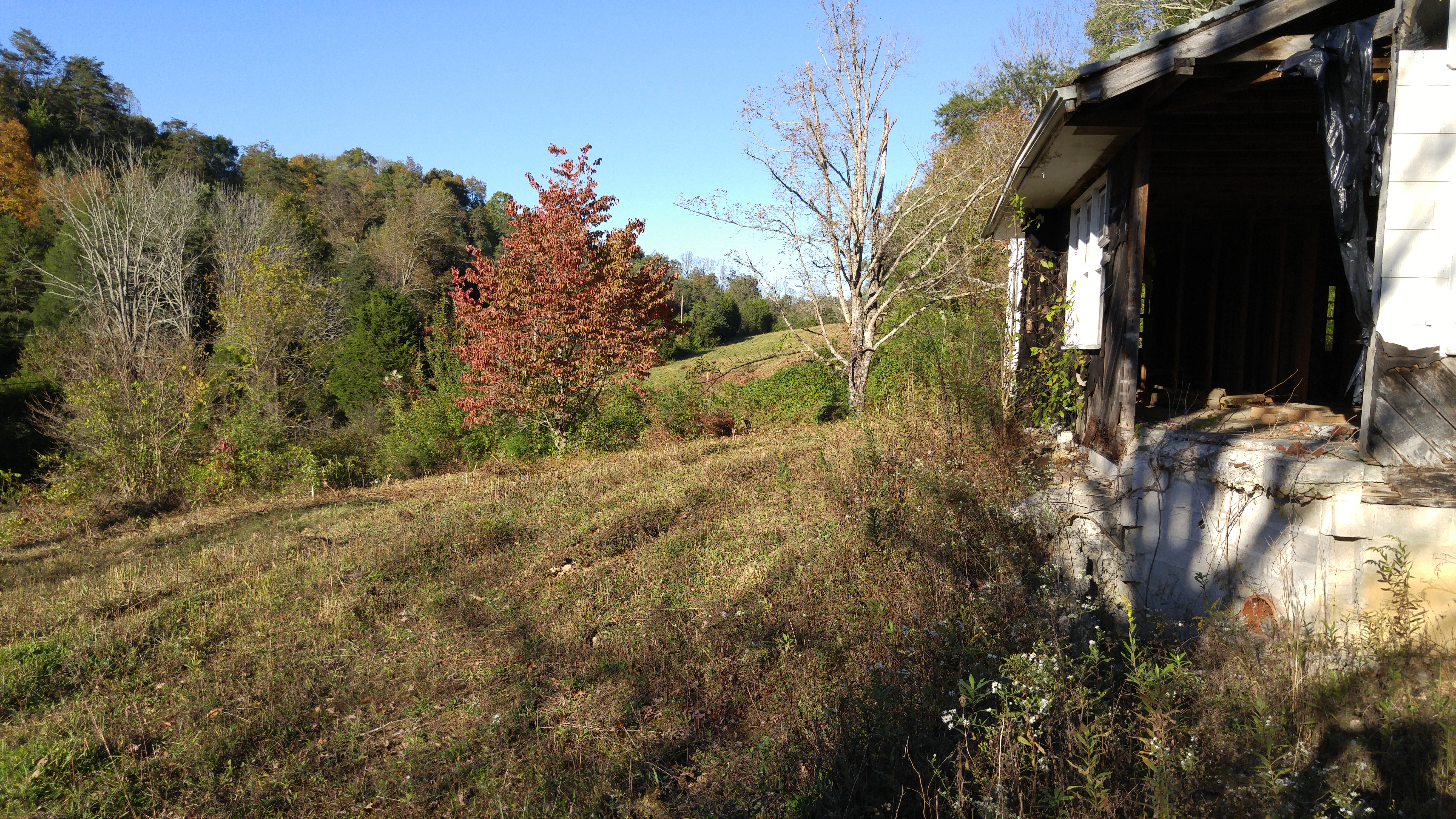
Once was a home near Blaine, TN
Mill Springs Store

W. Graham Claytor's Marker Light
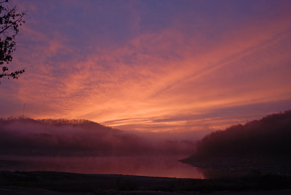
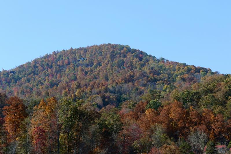
Sunrise over norris lake

2012-06-09_14-06-06_622
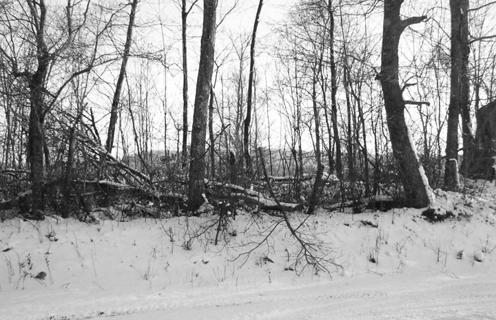
snow in the fencerow 2-5-08

2012-06-10_12-24-33_766

2015-10-14 17.31.15
2015-10-14 17.30.57
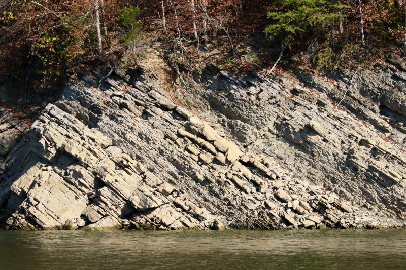
Rock Wall on Norris Lake TN
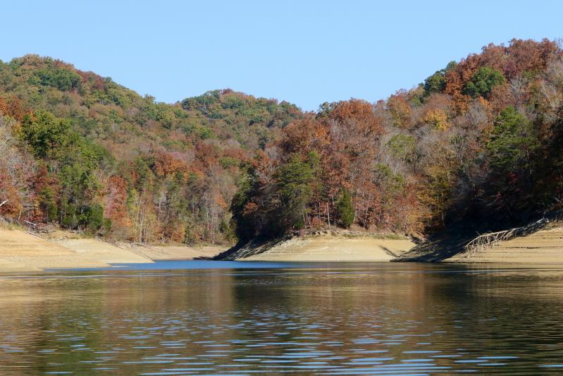
Fall on Norris Lake TN
Fall on Norris Lake TN
Topographic Map of TN-, Washburn, TN, USA
Find elevation by address:

Places near TN-, Washburn, TN, USA:
Washburn
7064 Tn-131
123 Dunville Gap Rd
Rutledge Pike, Rutledge, TN, USA
Joppa Mountain Road
Joppa Mountain Road
Cracker Neck Road
Dutch Valley Rd, Washburn, TN, USA
Grainger County
2396 Joppa Mountain Rd
Nicely Road
1943 Joppa Mountain Rd
341 Shoreside Rd
3073 Dutch Valley Rd
3404 Dutch Valley Rd
287 Norris Point
Coffey Lane
186 Timber Creek Rd
7768 Rutledge Pike
5311 Cracker Neck Rd
Recent Searches:
- Elevation of Corso Fratelli Cairoli, 35, Macerata MC, Italy
- Elevation of Tallevast Rd, Sarasota, FL, USA
- Elevation of 4th St E, Sonoma, CA, USA
- Elevation of Black Hollow Rd, Pennsdale, PA, USA
- Elevation of Oakland Ave, Williamsport, PA, USA
- Elevation of Pedrógão Grande, Portugal
- Elevation of Klee Dr, Martinsburg, WV, USA
- Elevation of Via Roma, Pieranica CR, Italy
- Elevation of Tavkvetili Mountain, Georgia
- Elevation of Hartfords Bluff Cir, Mt Pleasant, SC, USA