Elevation of TN-68, Madisonville, TN, USA
Location: United States > Tennessee > Monroe County > Madisonville >
Longitude: -84.377684
Latitude: 35.4516253
Elevation: 290m / 951feet
Barometric Pressure: 98KPa
Elevation Map:
Satellite Map:
Related Photos:
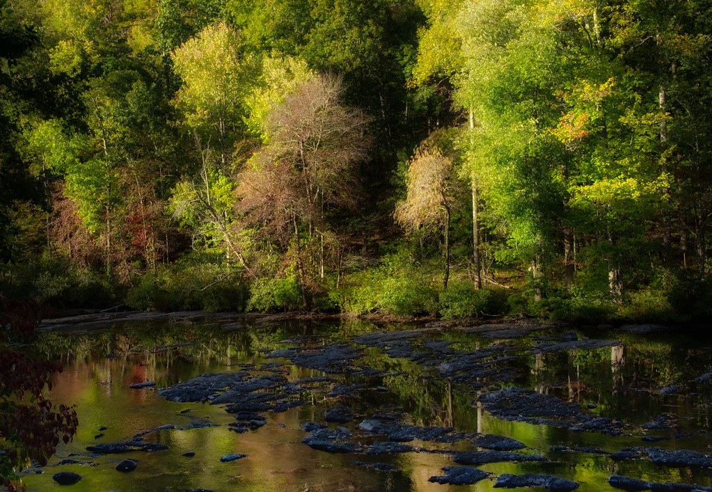
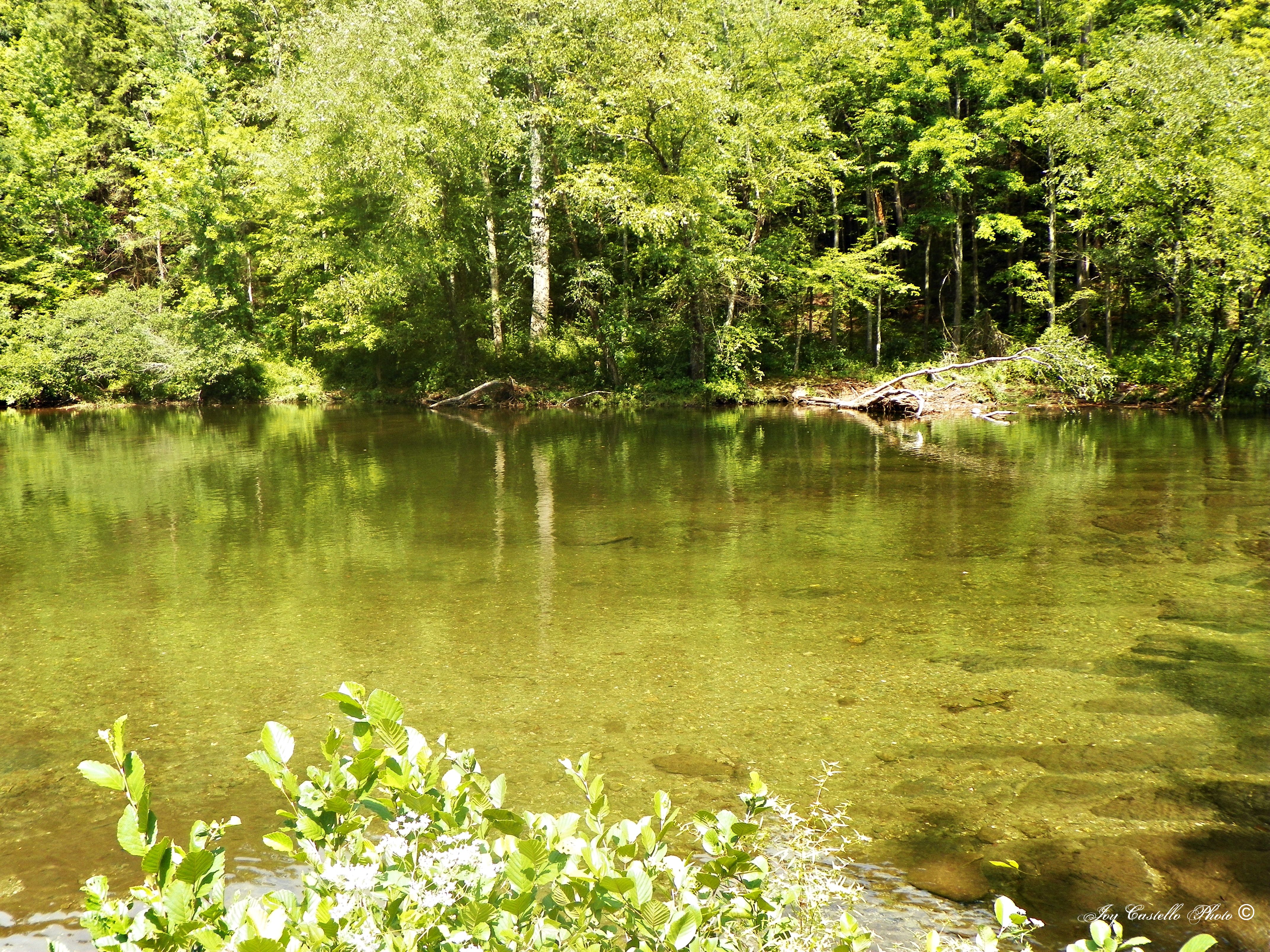
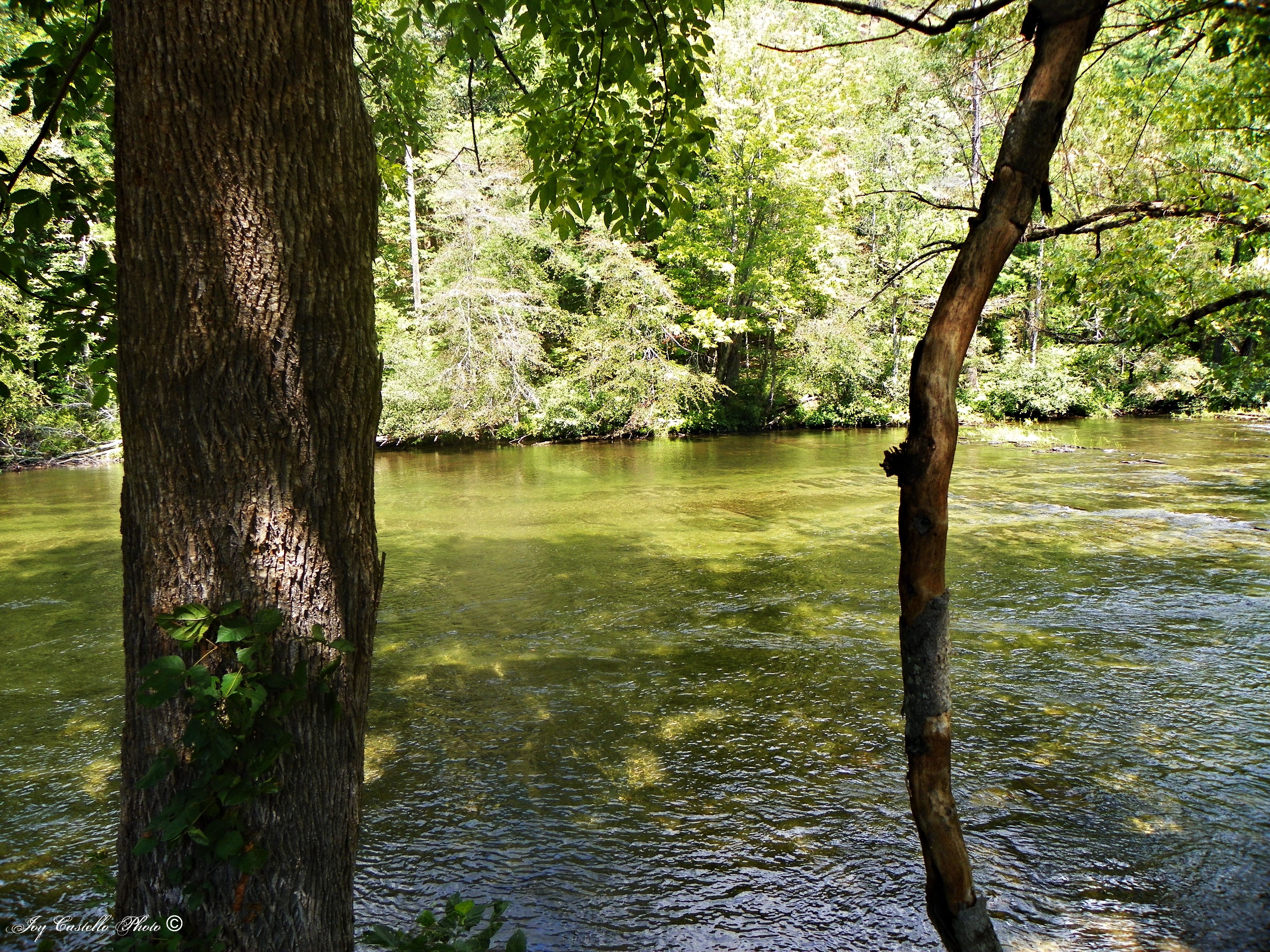
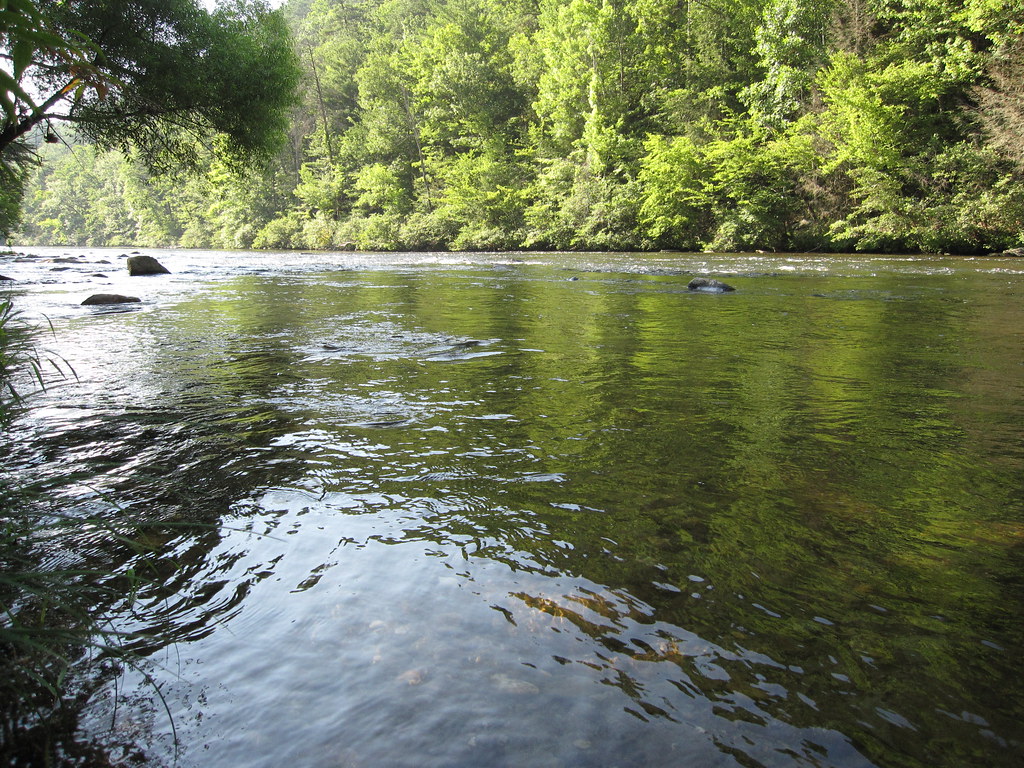
Cherohalla River Trees--3

Gray Treefrog - Hyla versicolor
a closer view,forget all behind

Monroe County, TN Courthouse - Madisonville, TN

Monroe County Courthouse Side View - Madisonville, TN
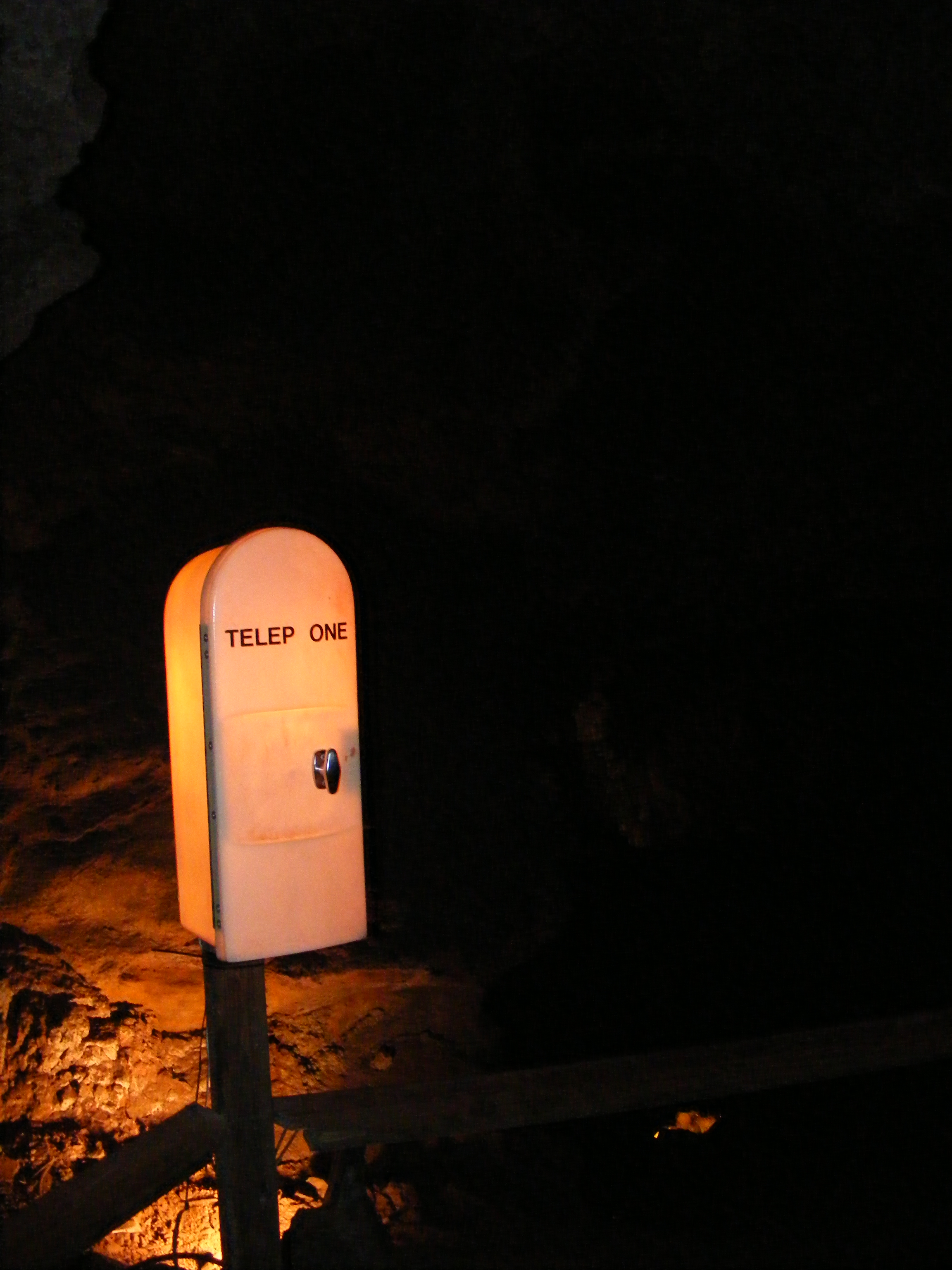
TELEP ONE in The Lost Sea Cave
Tellico Roundhouse - Side View
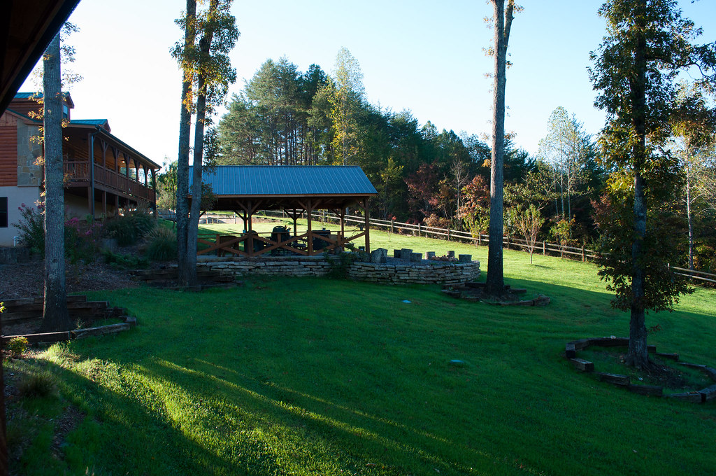
View from our lodge

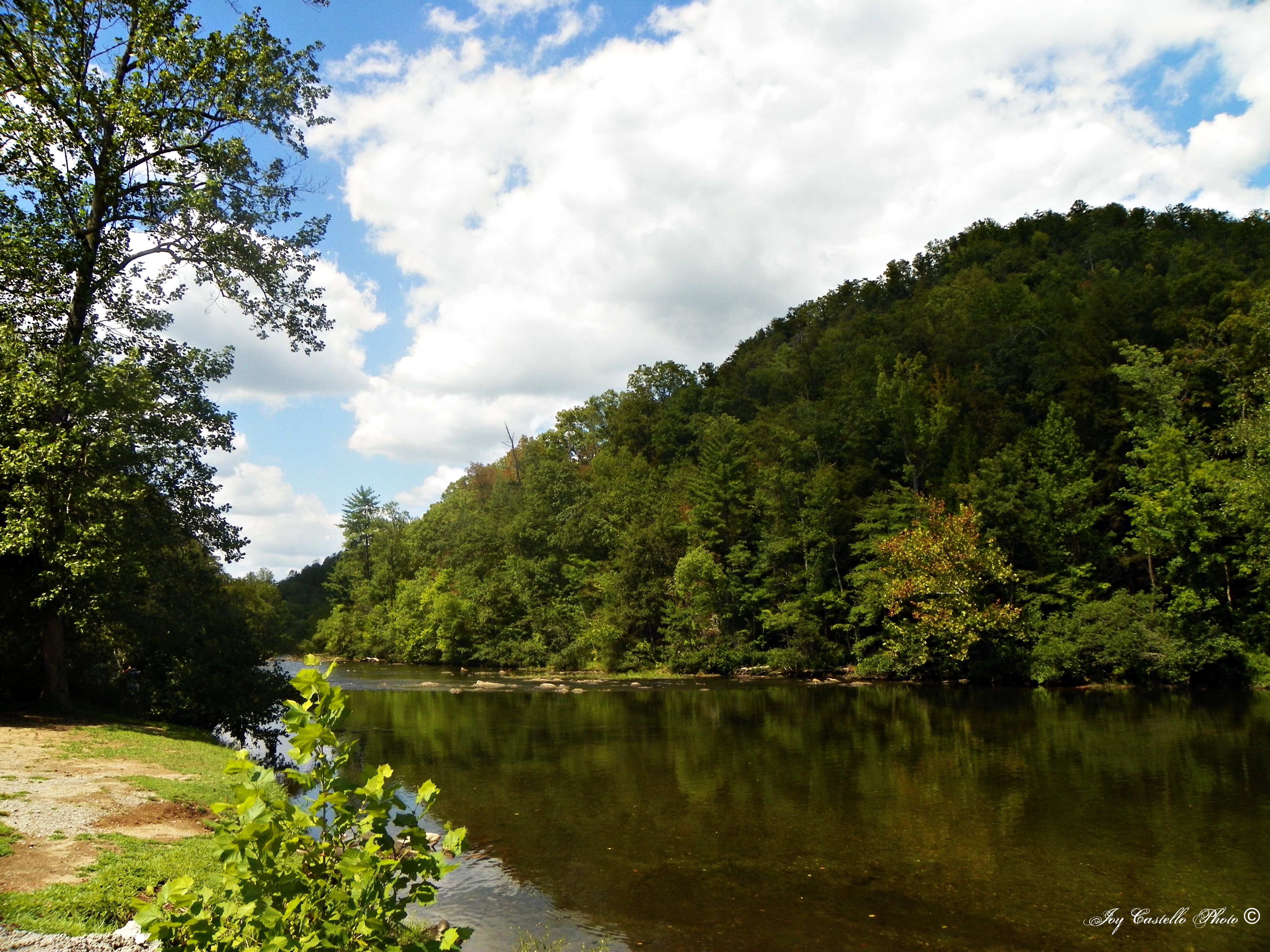
CHEROKEE National Forest
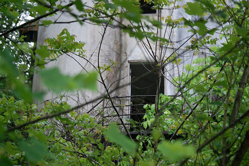
Door with a view
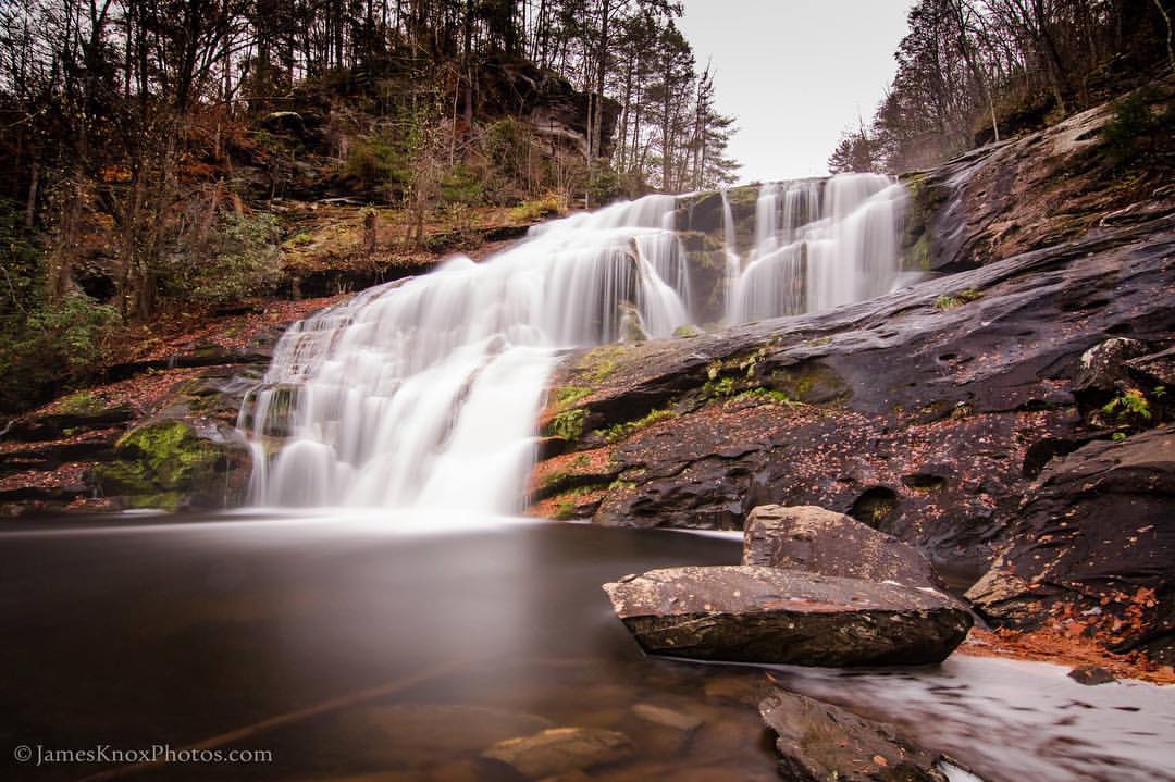
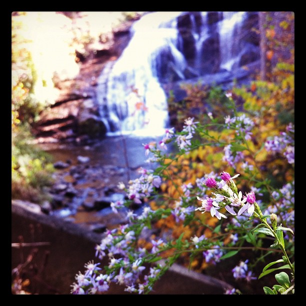
#baldriverfalls #fall #fallcolors #tellico #waterfall #streams #travel #jamesknox #easttnhasitall @thetennesseelegend #mountains #lifeisgood #peacefull #quite #landscape #photooftheday #thetennesseelegend
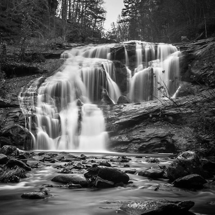
#waterfall #baldriverfalls #lovethemountains #tellicoplains #tellico #landscapes #happyplace #instagood #photooftheday #jamesknox #blackandwhite #streams #fall

20120517-165310-IMG_3516
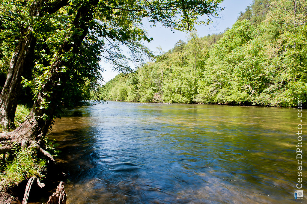
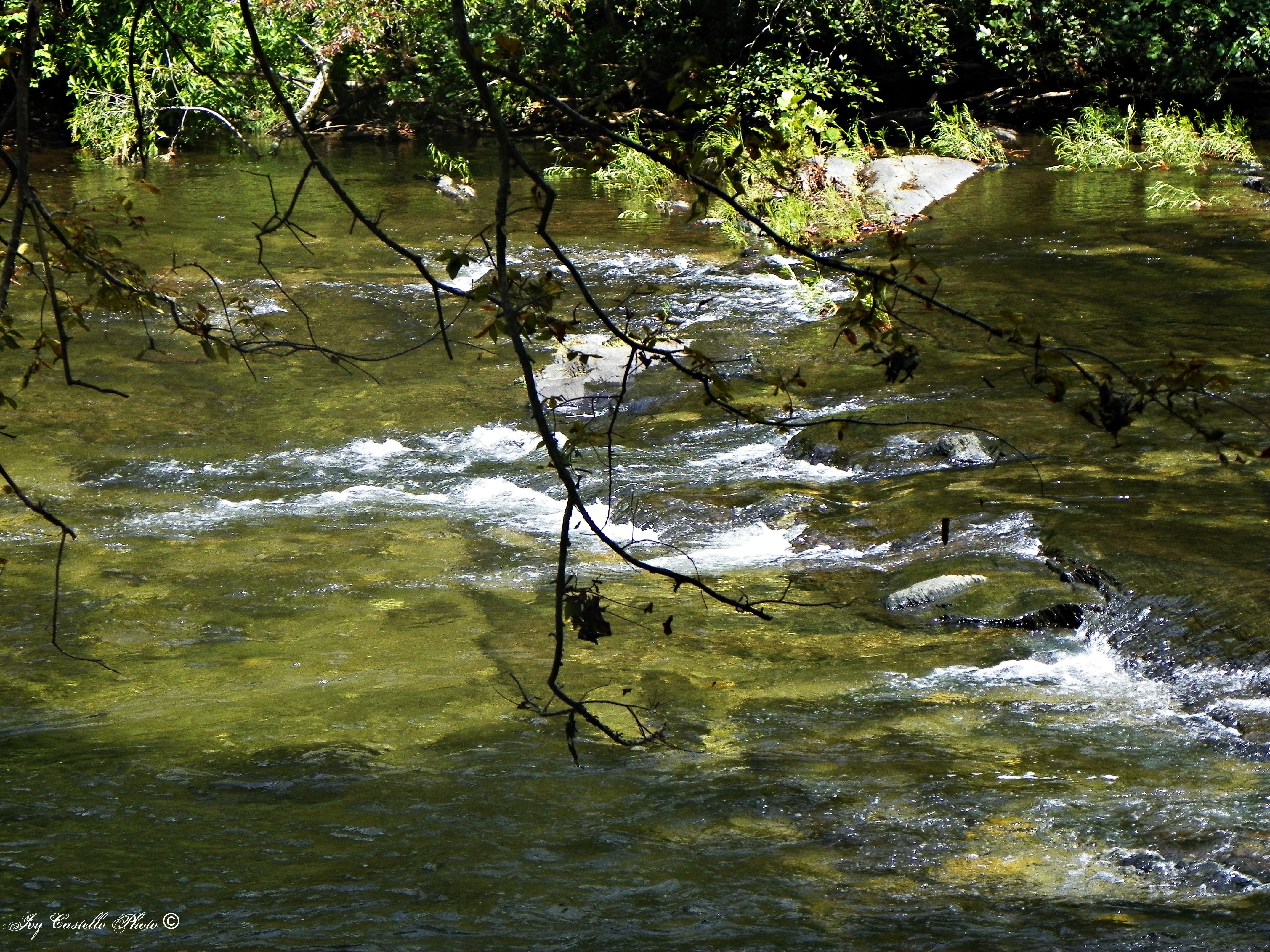
Tellico River: Highway 165 (Cherohala Skyway)
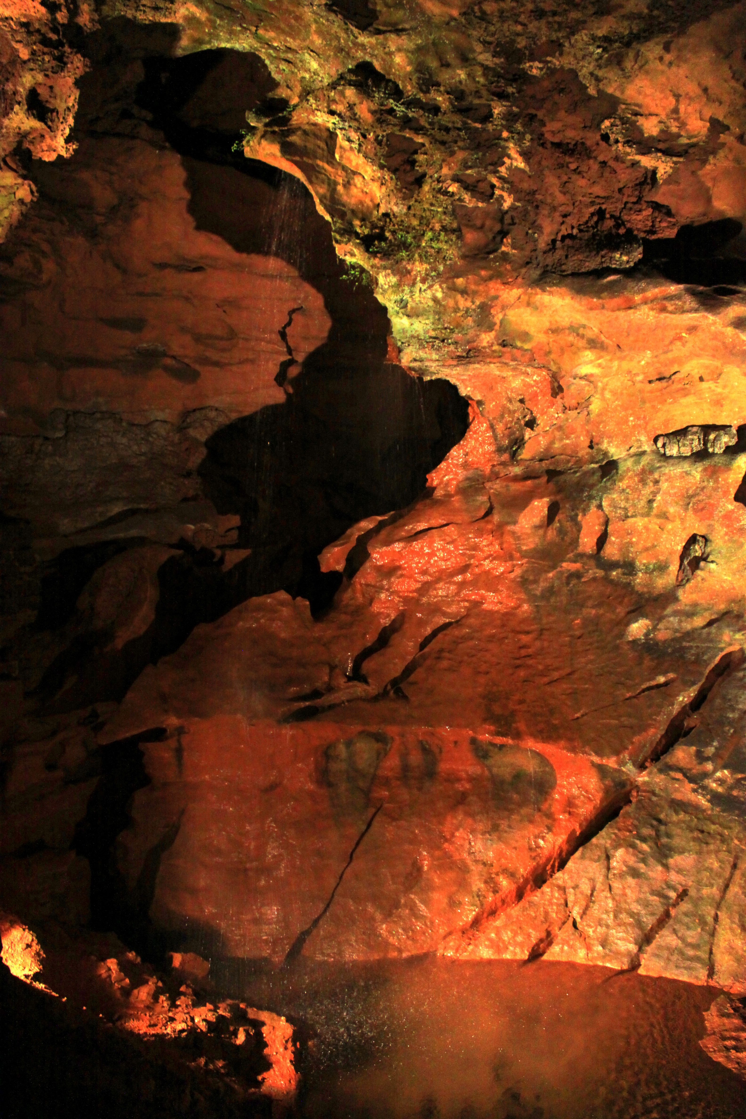
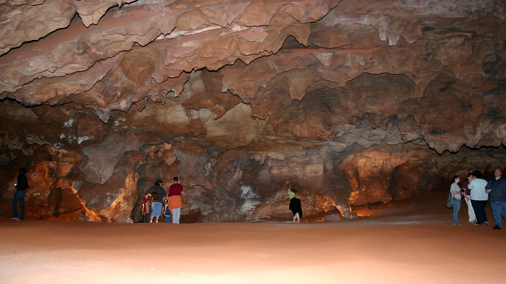
The Lost Sea underground Waterfall

20120517-165428-IMG_3518

Misty morning in Tennessee
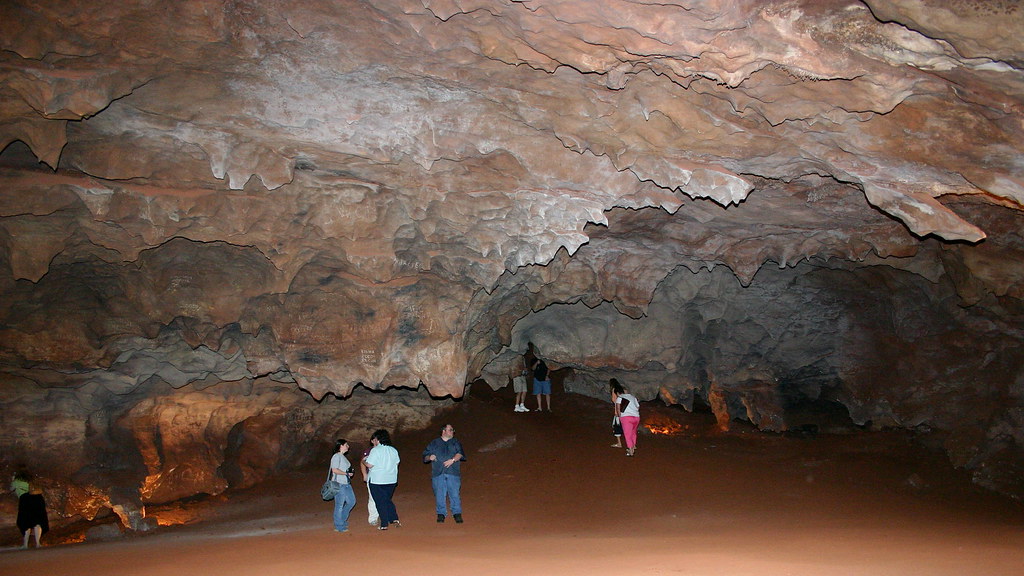
Lost Sea 3
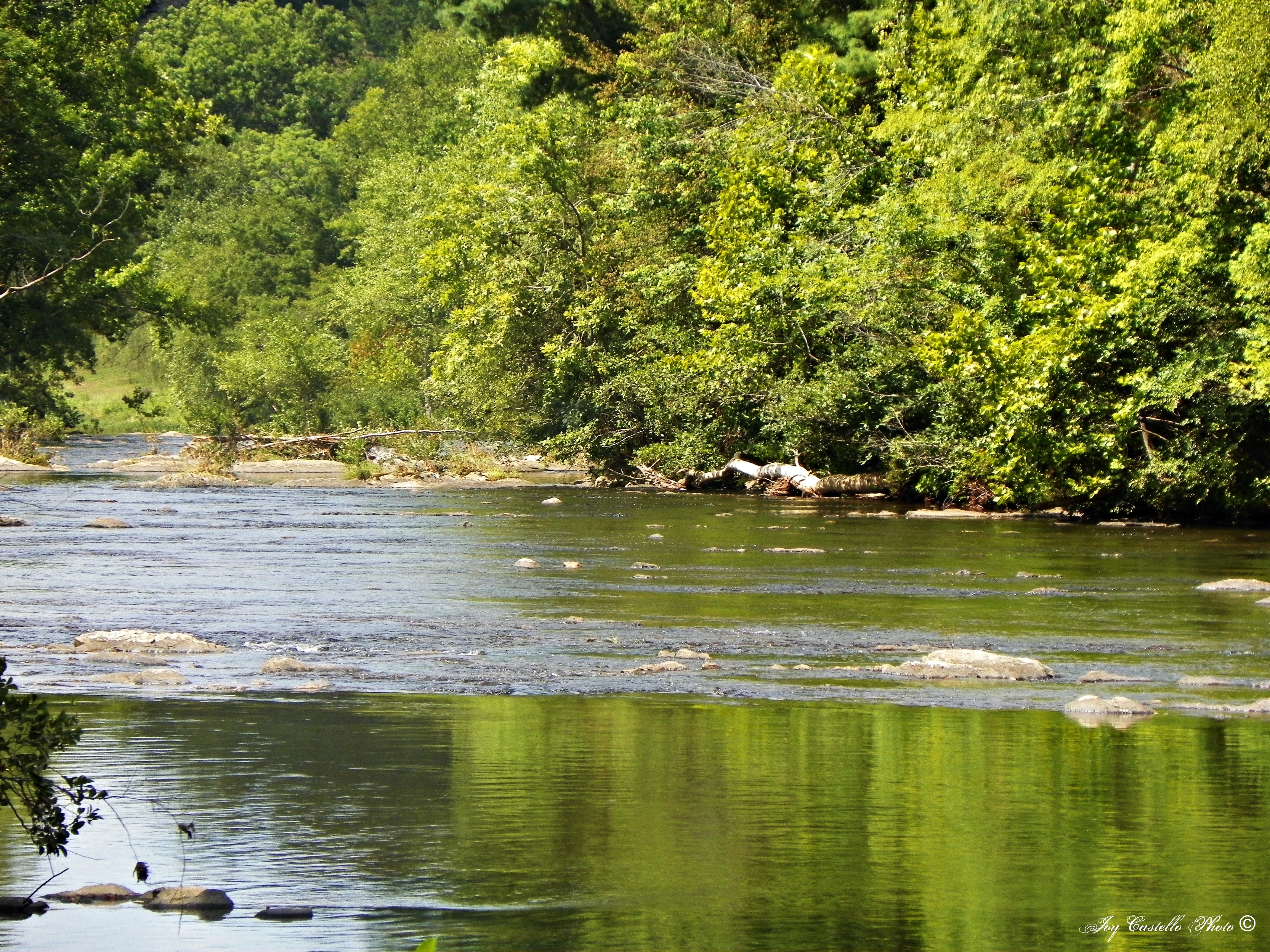
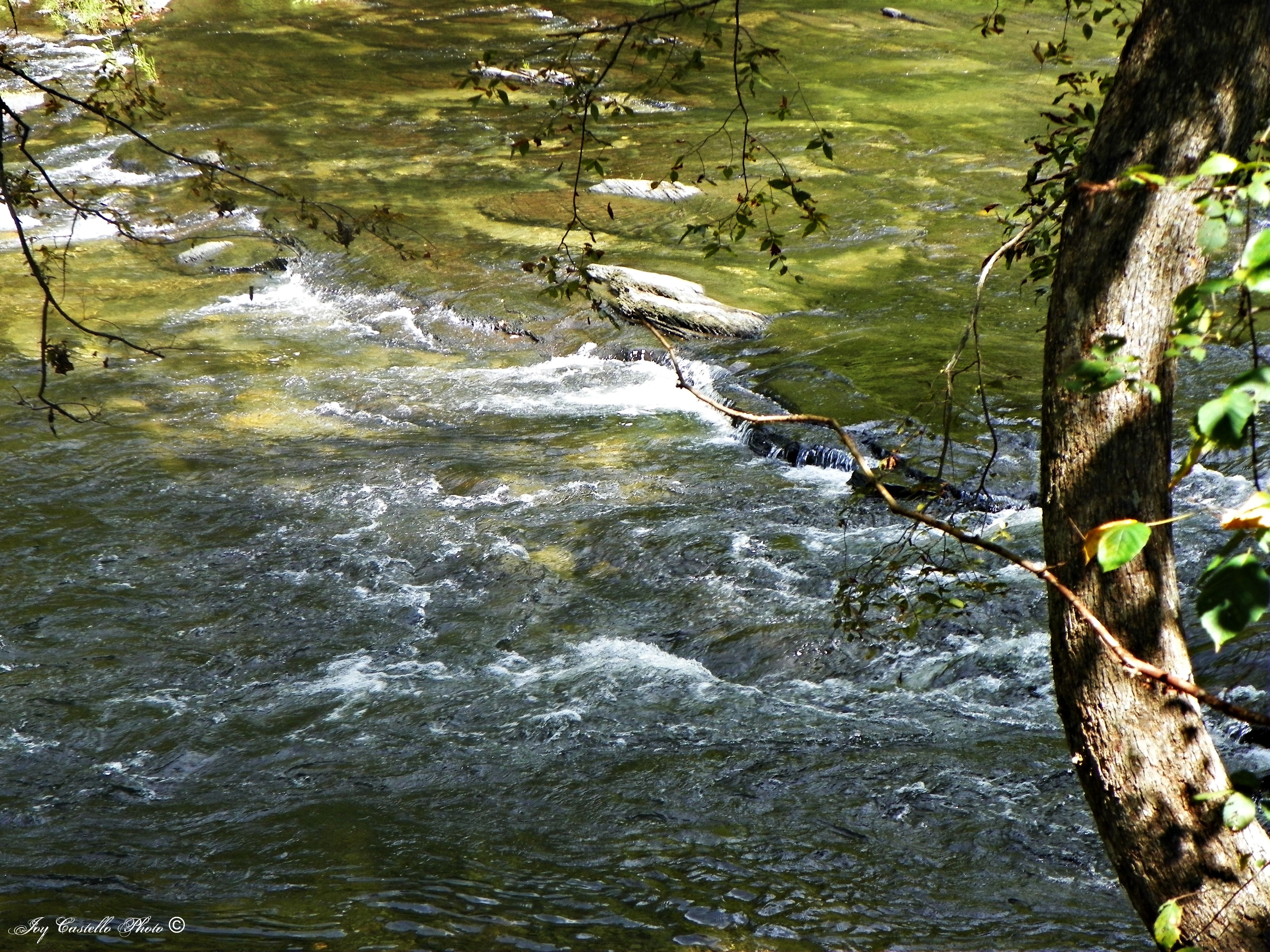
Tellico River: Highway 165 (Cherohala Skyway)
Tellico River: Highway 165 (Cherohala Skyway)
Tellico River: Highway 165 (Cherohala Skyway)
Tellico River: Highway 165 (Cherohala Skyway)

Niota,Tennessee before eclipse
Superbikes in the Smokies - Day 1

Chattanooga 2009
img_1487.jpg

Lost Sea 1
Tellico River: Highway 165 (Cherohala Skyway)
Tellico River: Highway 165 (Cherohala Skyway)
Lost Sea 2
Topographic Map of TN-68, Madisonville, TN, USA
Find elevation by address:

Places near TN-68, Madisonville, TN, USA:
7681 Tn-68
1035 Chestua Church Rd
Kefauver Park
430 Gudger Rd
300 Co Rd 470
245 Co Rd 464
251 Freeman Rd
174 Co Rd 477
555 S Amhurst Pl
804 Co Rd 480
Englewood
1224 State Hwy 310
404 Kale Ave
330 Old Englewood Rd
1110 Co Rd 550
Loch Low‑minn
122 Co Rd 513
State Highway 310
Co Rd, Englewood, TN, USA
355 Co Rd 525
Recent Searches:
- Elevation of Corso Fratelli Cairoli, 35, Macerata MC, Italy
- Elevation of Tallevast Rd, Sarasota, FL, USA
- Elevation of 4th St E, Sonoma, CA, USA
- Elevation of Black Hollow Rd, Pennsdale, PA, USA
- Elevation of Oakland Ave, Williamsport, PA, USA
- Elevation of Pedrógão Grande, Portugal
- Elevation of Klee Dr, Martinsburg, WV, USA
- Elevation of Via Roma, Pieranica CR, Italy
- Elevation of Tavkvetili Mountain, Georgia
- Elevation of Hartfords Bluff Cir, Mt Pleasant, SC, USA