Elevation of Tingsryd, Sweden
Location: Sweden > Kronoberg County >
Longitude: 14.9785342
Latitude: 56.5247452
Elevation: 138m / 453feet
Barometric Pressure: 100KPa
Elevation Map:
Satellite Map:
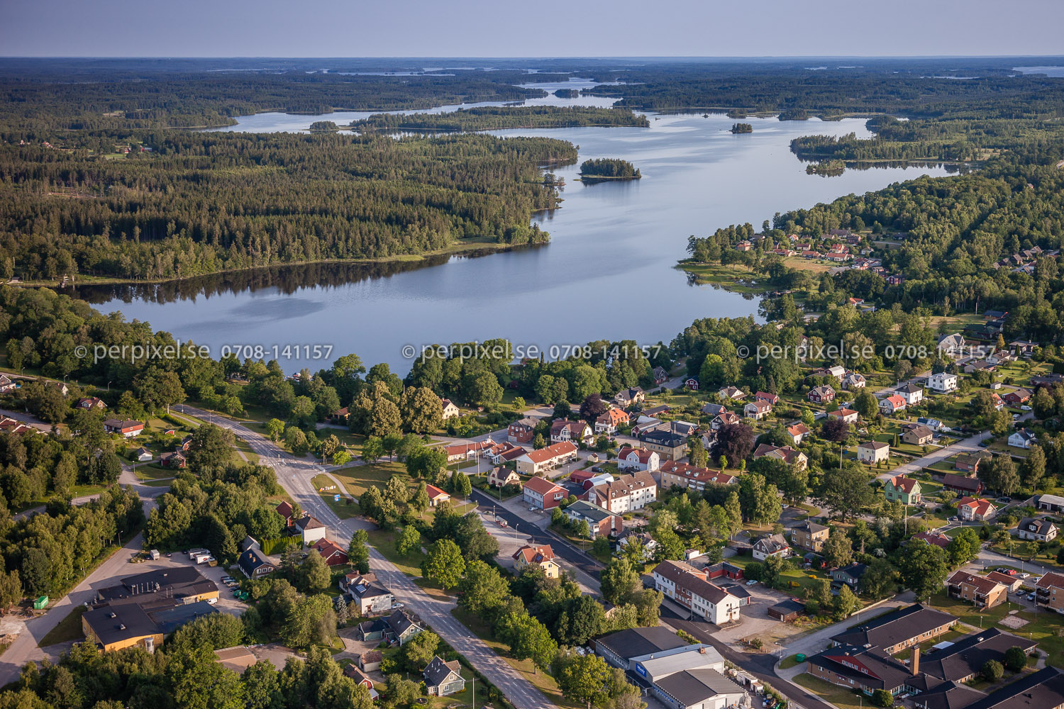
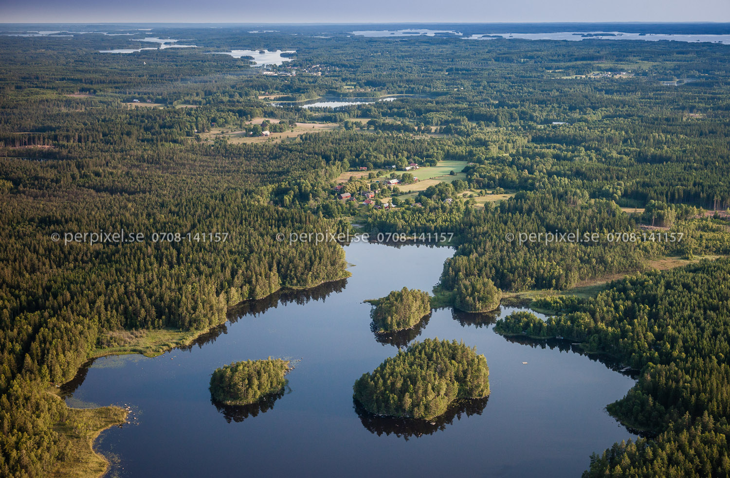
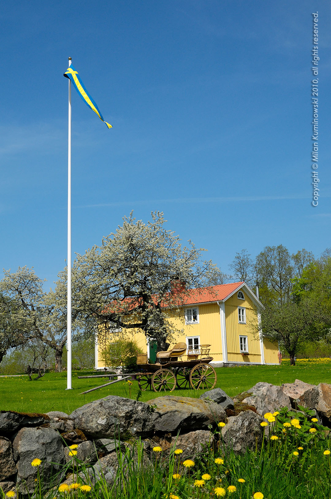
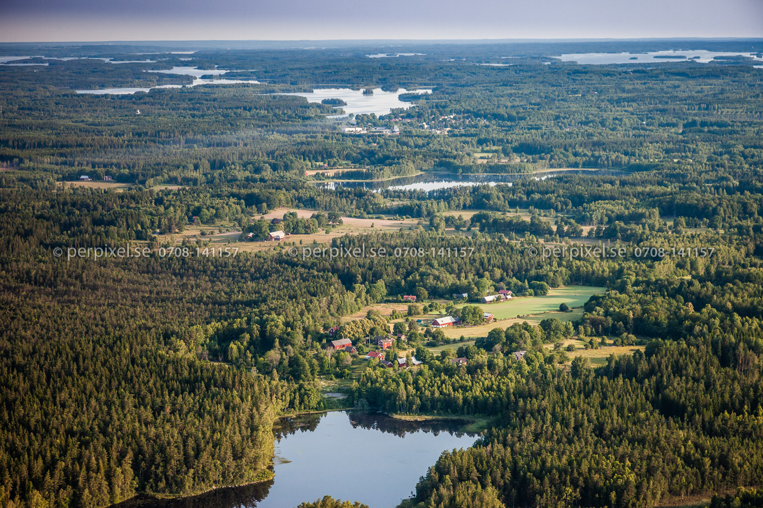
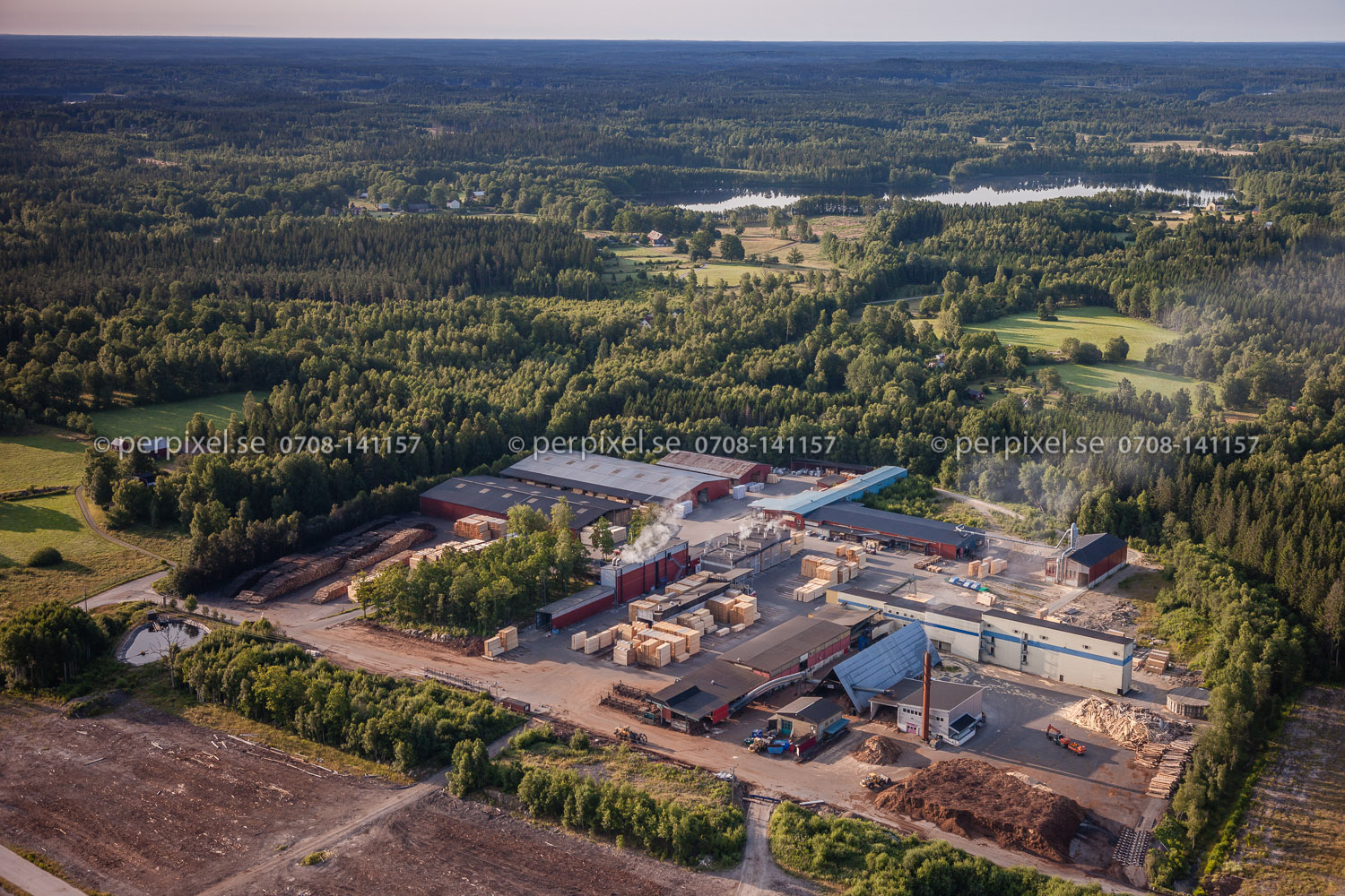
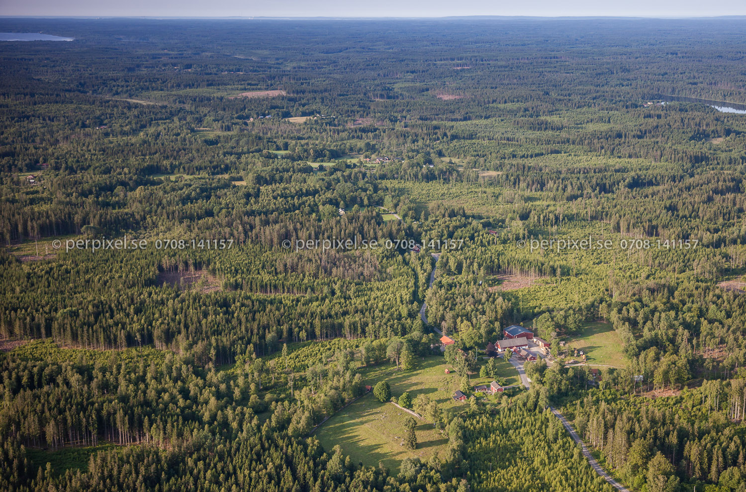
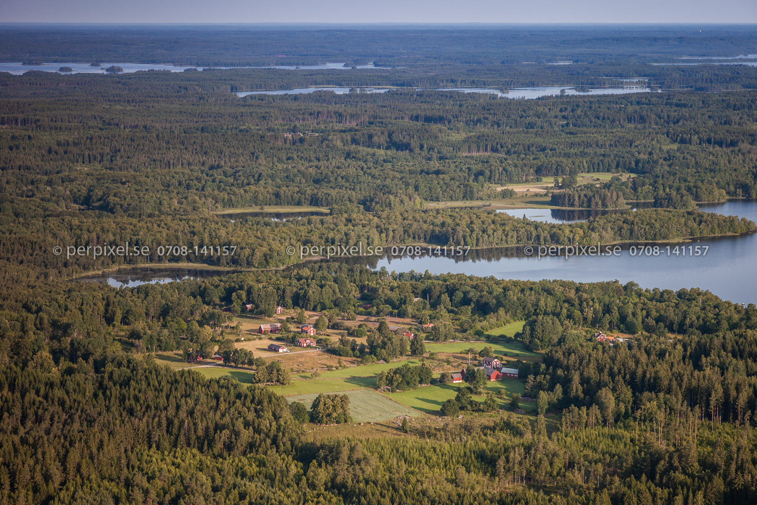
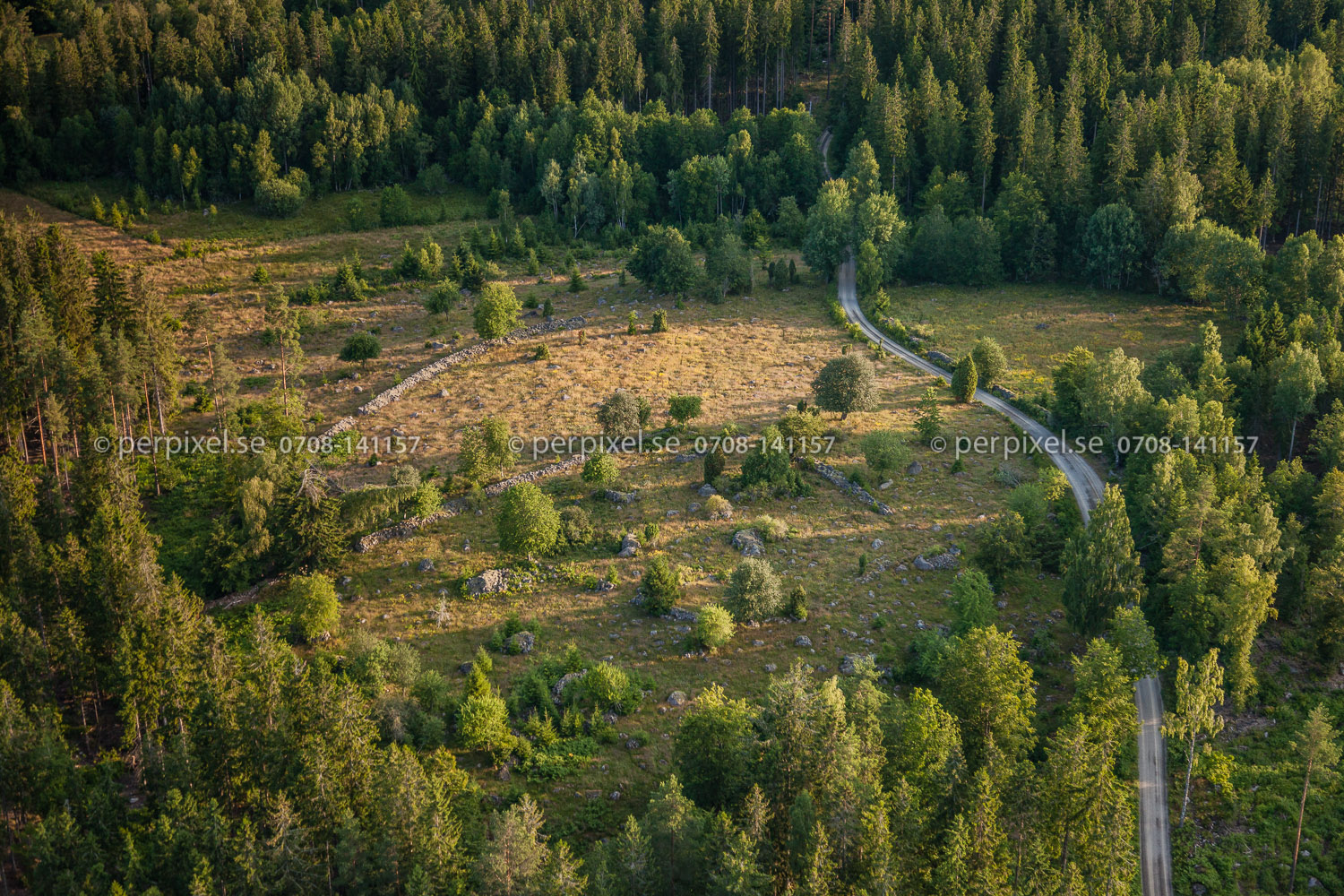
Related Photos:
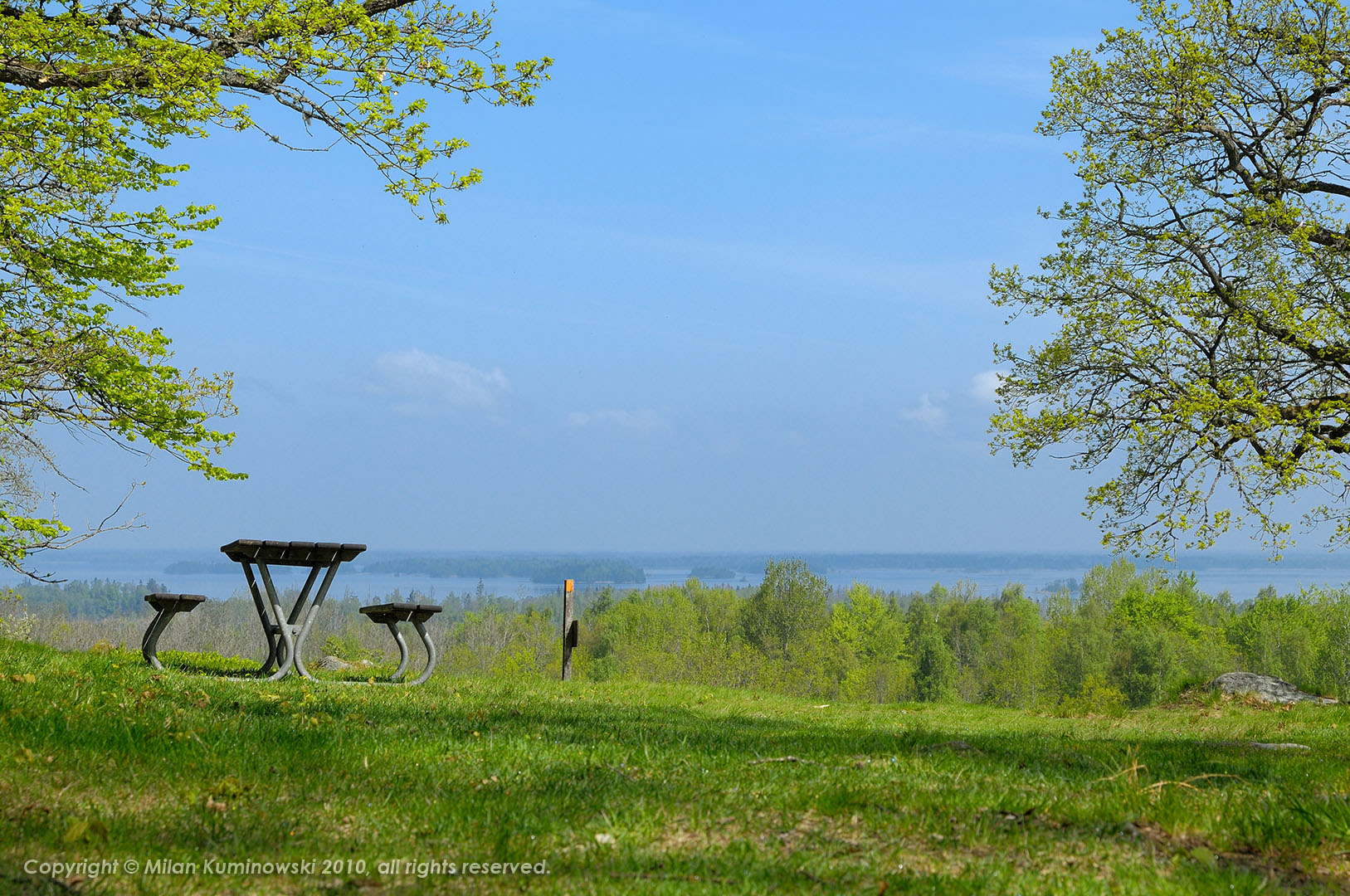
Kurrebo, Småland

Partly frozen lake
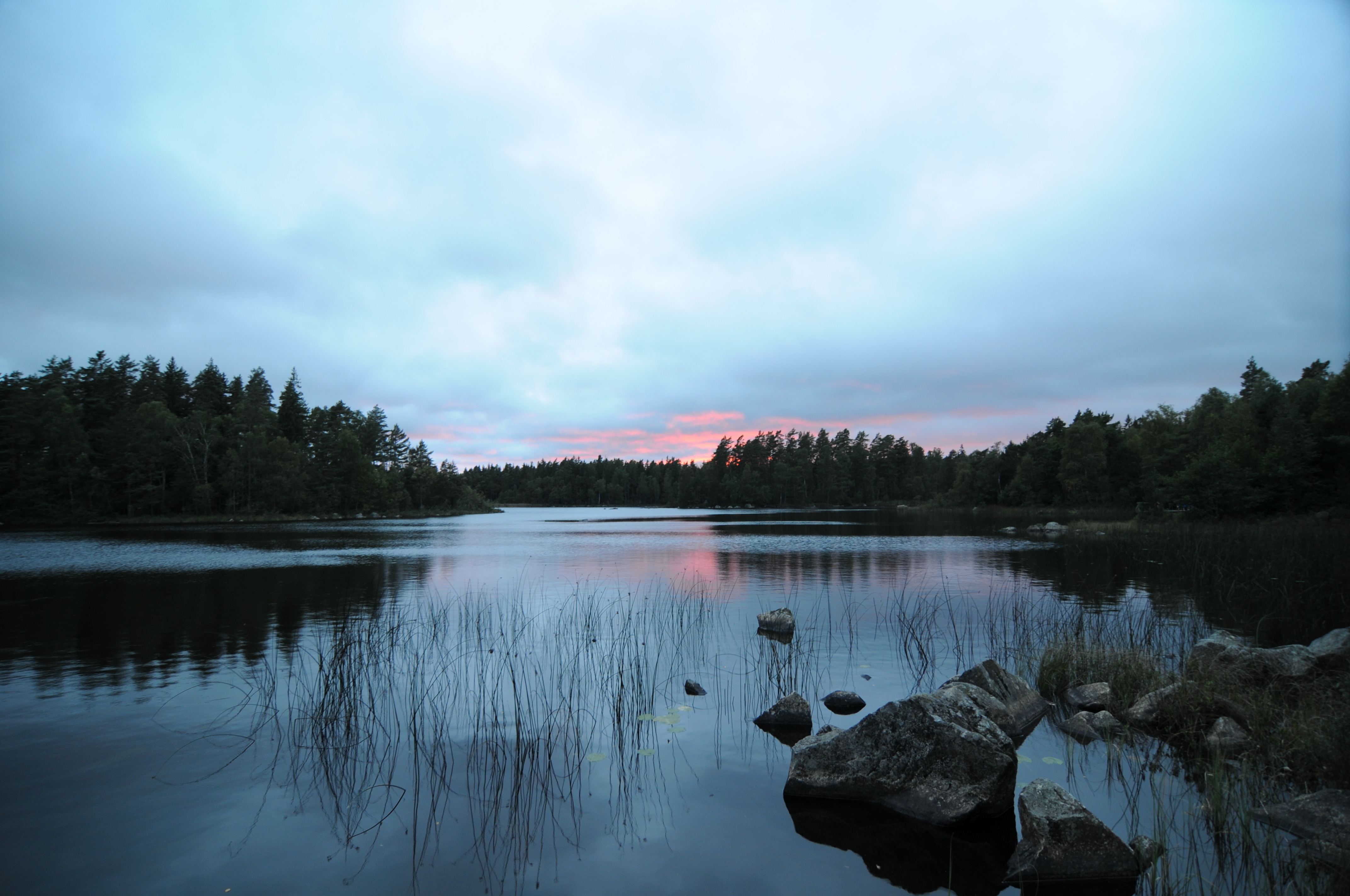
Lake #4
Kurrebo, Småland
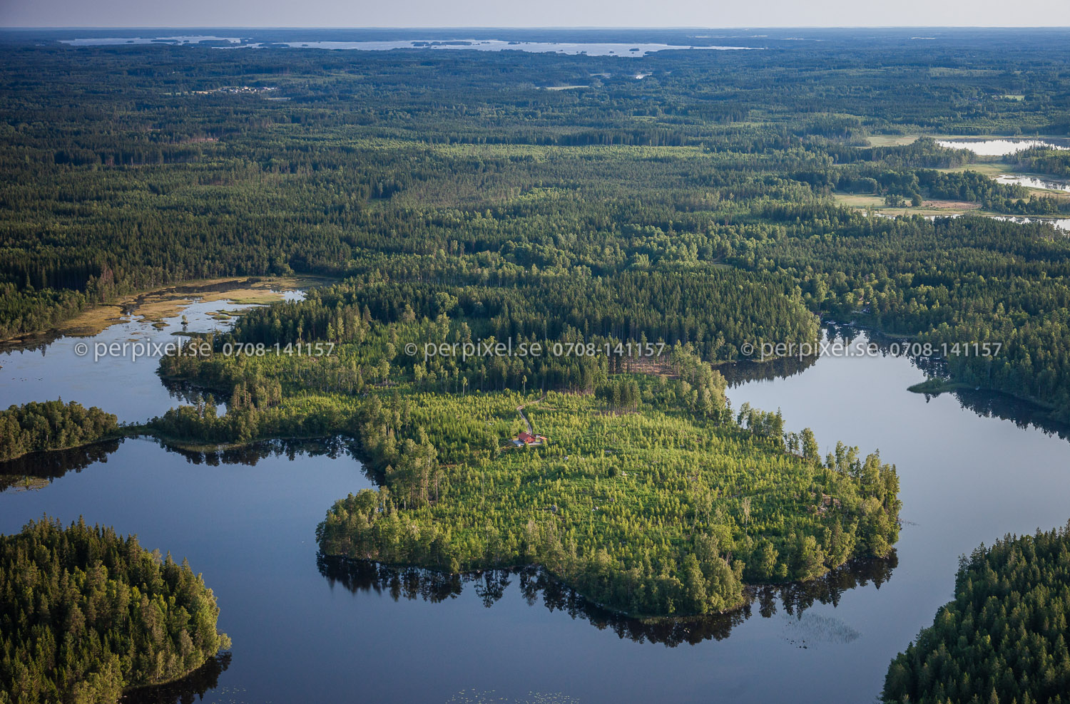
Mien_130713-3993.jpg
Mien_130713-4065.jpg
Mien_130713-4019.jpg
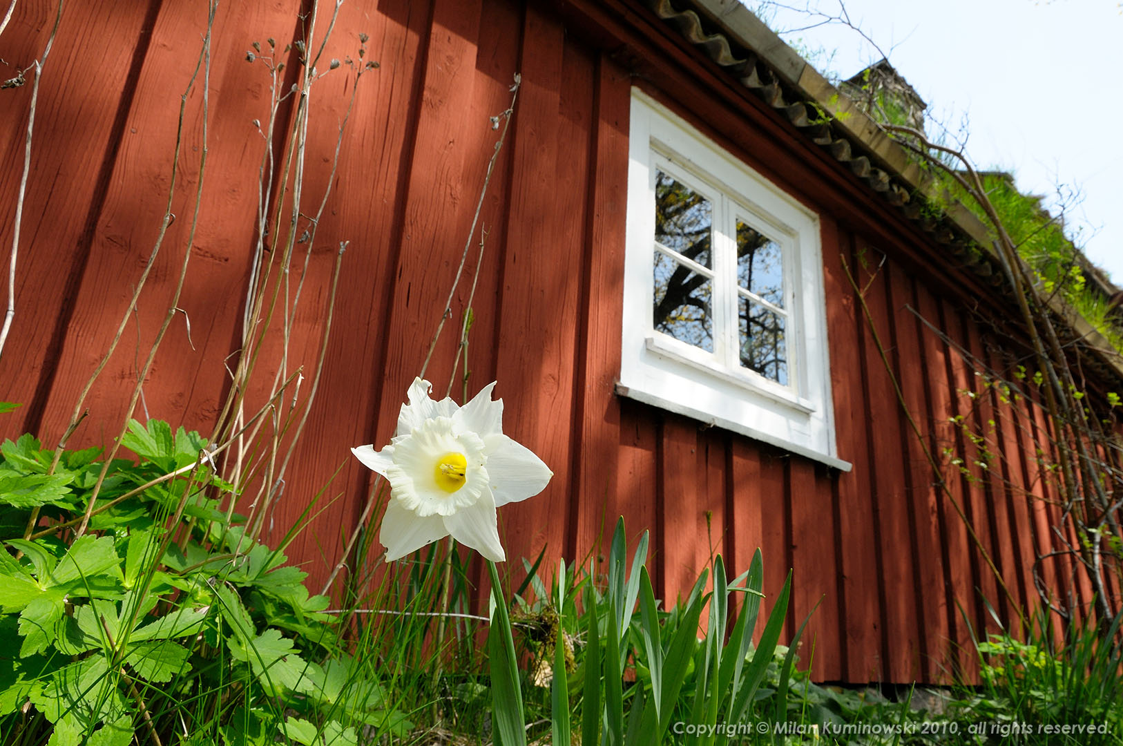
Karatorp, Småland
Mien_130713-4010.jpg
Mien_130713-4044.jpg

Mien_130713-4042.jpg
Mien_130713-4101.jpg
Mien_130713-4053.jpg

Mien_130713-4047.jpg
Mien_130713-4109.jpg
Mien_130713-4070.jpg
Mien_130713-4098.jpg
Mien_130713-4087.jpg
Mien_130713-3977.jpg

Mien_130713-3958.jpg

Sky in flames
Topographic Map of Tingsryd, Sweden
Find elevation by address:

Places in Tingsryd, Sweden:
Places near Tingsryd, Sweden:
Hultatorpet
Kornalycke
Tingsryd Nv
Ronneby Nv
Blekinge County
Karlshamn N
Dalbo
Ronneby N
LILLA SILPINGEVÄGEN 13, 91 Ronneby, Sweden
Svängsta
Lessebo
Örnvägen 17, 42 Växjö, Sweden
Söder-Öster
Växjö
Ronneby Airport
Toftasjövägen 156
Bondegårdsvägen 38, 45 Växjö, Sweden
Hovshaga-sandsbro
Helgö Södergård 6, 93 Växjö, Sweden
Lönashult
Recent Searches:
- Elevation of Corso Fratelli Cairoli, 35, Macerata MC, Italy
- Elevation of Tallevast Rd, Sarasota, FL, USA
- Elevation of 4th St E, Sonoma, CA, USA
- Elevation of Black Hollow Rd, Pennsdale, PA, USA
- Elevation of Oakland Ave, Williamsport, PA, USA
- Elevation of Pedrógão Grande, Portugal
- Elevation of Klee Dr, Martinsburg, WV, USA
- Elevation of Via Roma, Pieranica CR, Italy
- Elevation of Tavkvetili Mountain, Georgia
- Elevation of Hartfords Bluff Cir, Mt Pleasant, SC, USA