Elevation of Timbrell, QC G0X, Canada
Location: Canada > Québec > Le Haut-saint-maurice >
Longitude: -74.764915
Latitude: 47.968393
Elevation: 427m / 1401feet
Barometric Pressure: 96KPa
Elevation Map:
Satellite Map:
Related Photos:
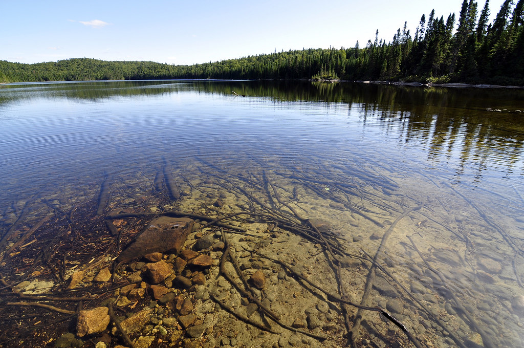
Northern Quebec fishing lake
Topographic Map of Timbrell, QC G0X, Canada
Find elevation by address:

Places near Timbrell, QC G0X, Canada:
Recent Searches:
- Elevation of Corso Fratelli Cairoli, 35, Macerata MC, Italy
- Elevation of Tallevast Rd, Sarasota, FL, USA
- Elevation of 4th St E, Sonoma, CA, USA
- Elevation of Black Hollow Rd, Pennsdale, PA, USA
- Elevation of Oakland Ave, Williamsport, PA, USA
- Elevation of Pedrógão Grande, Portugal
- Elevation of Klee Dr, Martinsburg, WV, USA
- Elevation of Via Roma, Pieranica CR, Italy
- Elevation of Tavkvetili Mountain, Georgia
- Elevation of Hartfords Bluff Cir, Mt Pleasant, SC, USA