Elevation of Tilley Rd, Gagetown, NB E5M 1H6, Canada
Location: Canada > New Brunswick > Queens County > Gagetown >
Longitude: -66.146733
Latitude: 45.7928014
Elevation: 11m / 36feet
Barometric Pressure: 101KPa
Elevation Map:
Satellite Map:
Related Photos:

Long Journey Home
Gagetown Ferry-08
battery trip #1

Near Lyndseys hoose!

Fall-79

Hay Bales

Hay Bales - Orton
Hay Bales
Synchronized Swimming - Home Edition
Colwell's Creek

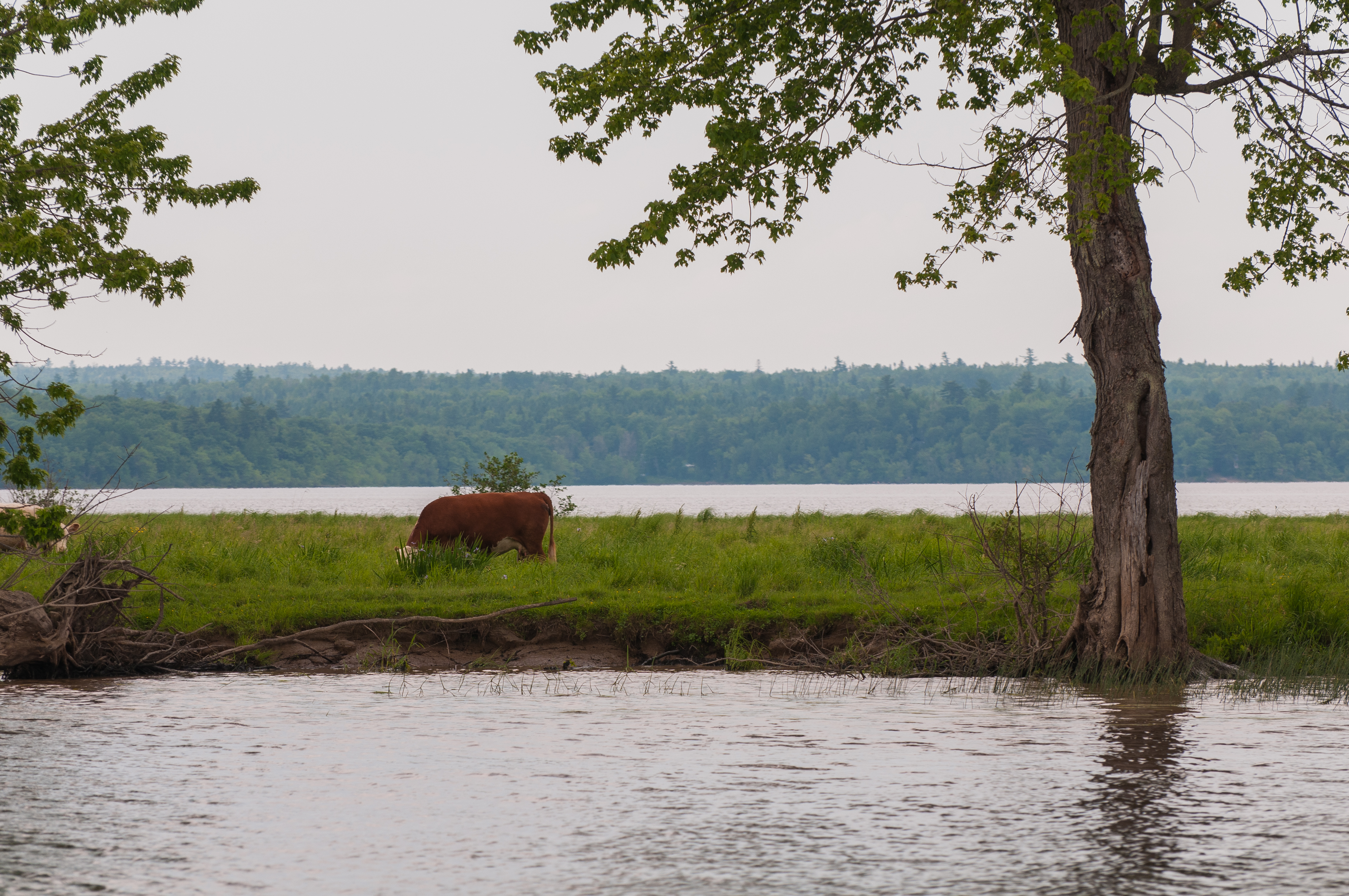
Island grazing

Fall-78
Day 7, Halifax, NS - Kingfield, ME 039
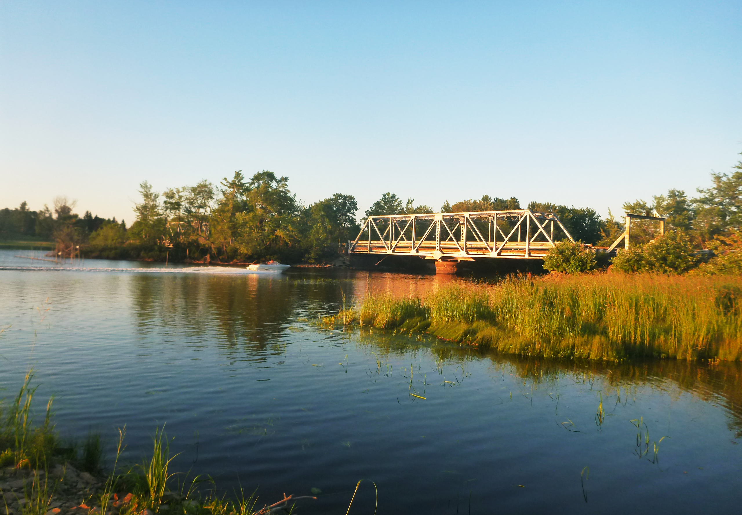
Meadow bridge

Sunset at the meadow
Topographic Map of Tilley Rd, Gagetown, NB E5M 1H6, Canada
Find elevation by address:

Places near Tilley Rd, Gagetown, NB E5M 1H6, Canada:
Gagetown
6 Warren Rd, Gagetown, NB E5M 1K4, Canada
Jemseg
Jemseg Lions Club
Jemseg River Farm
Jemseg Lakeview Motel
Johns Lane
45 Robertson Point Rd
Robertson Point Road
Robertson Point Road
Scotchtown
Douglas Harbour
3 Douglas Harbour Wharf Rd, Douglas Harbour, NB E4B 1W2, Canada
63 Shore Rd
34 Atyeo Ln, Maquapit Lake, NB E4B 4B6, Canada
38 Shore Rd, Clarks Corner, NB E4B 1R7, Canada
Gagetown
Maquapit Lake
NB-, Central Hampstead, NB E5M 2A7, Canada
E4b 1r1
Recent Searches:
- Elevation of Corso Fratelli Cairoli, 35, Macerata MC, Italy
- Elevation of Tallevast Rd, Sarasota, FL, USA
- Elevation of 4th St E, Sonoma, CA, USA
- Elevation of Black Hollow Rd, Pennsdale, PA, USA
- Elevation of Oakland Ave, Williamsport, PA, USA
- Elevation of Pedrógão Grande, Portugal
- Elevation of Klee Dr, Martinsburg, WV, USA
- Elevation of Via Roma, Pieranica CR, Italy
- Elevation of Tavkvetili Mountain, Georgia
- Elevation of Hartfords Bluff Cir, Mt Pleasant, SC, USA