Elevation of Tigua, Ecuador
Location: Ecuador > Cotopaxi > Pujili >
Longitude: -78.850288
Latitude: -0.95585
Elevation: 3643m / 11952feet
Barometric Pressure: 65KPa
Elevation Map:
Satellite Map:
Related Photos:

Laguna Quilotoa, 3,914 meters (12,841 ft) above sea level, Cotopaxi Province, Equador.

La Playita Quilotoa (trail), the Volcanic-Crater Lake of Laguna Quilotoa at 3,870 meters (12,696 ft) MSL, Pujilí, Cotopaxi Province, Ecuador.
E30 at 3,530 meters (11581 ft) MSL, Pujulí, Central Highlands, Ecuador.

The Art of the First Painter in Tigua at 3,720 meters (12,204 ft) MSL, Pujulí, Cotopaxi Province, Ecuador.

Laguna Quilotoa sunrise panorama – Ecuador

Ecuador 2014

Quilotoa loop, Ecuador

#zumbahua #NOFILTER #latacunga #bluesky #landscape #horizon #sunnyday #adventure #view #mountains #hills #ecuador #andes #roadtrip #volcano #scenicview #clouds #roadview #cordillera #nature #scenic #melhoresdestinos #brasileirospelomundo #backpackers #lon

A Condor's eye view

Enjoying the view

Kim's View of Laguna Quilotoa in Ecuador

Cotopaxi shows its top!

Kim's View of Laguna Quilotoa in Ecuador

Kim's View of Laguna Quilotoa in Ecuador

Kim's View of Laguna Quilotoa in Ecuador

Kim's View of Laguna Quilotoa in Ecuador

View east from Quilotoa rim

The Famous Volcanic-Crater Lake of Laguna Quilotoa at 3,870 meters (12,696 ft) MSL, Pujilí, Cotopaxi Province, Ecuador.

Laguna Quilotoa at 3,518 meters (11,542 ft) above sea level, Cotopaxi Province, Equador.

E30 at 3,700 meters (12,139 ft) MSL, Pujulí, Cotopaxi Province, Ecuador.

Maca Cruz Blanca at 3,800 meters (12,467 ft) MSL, E30, Saquisilí, Ecuador.

E30 at 3,720 meters (12,204 ft) MSL, Pujulí, Cotopaxi Province, Ecuador.

The Art of the First Painter in Tigua at 3,720 meters (12,204 ft) MSL, Pujulí, Cotopaxi Province, Ecuador.

Maca Cruz Blanca at 3,800 meters (12,467 ft) MSL, E30, Saquisilí, Ecuador.

The Toachi Canyon at 3,860 meters (12,664 ft) MSL, Pujulí, Cotopaxi Province, Ecuador.

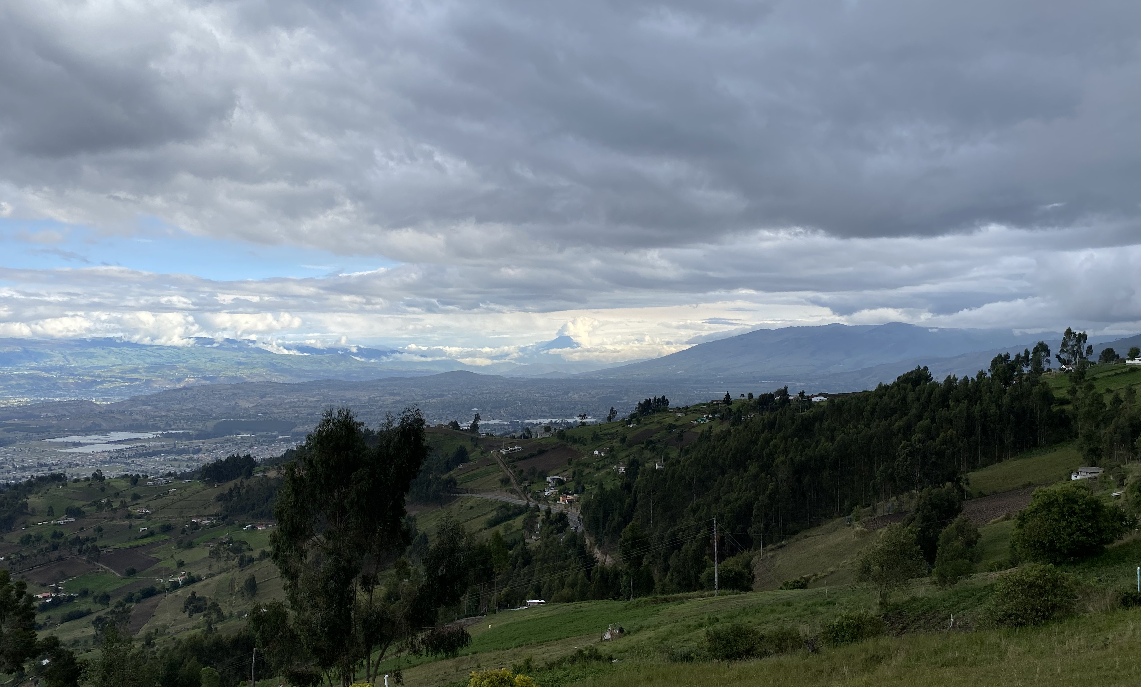
Tigua at 3,720 meters (12,204 ft) MSL, Pujulí, Cotopaxi Province, Ecuador.

Maca Cruz Blanca at 3,800 meters (12,467 ft) MSL, E30, Saquisilí, Ecuador.

Cotopaxi volcano, Ecuador

The Toachi Canyon at 3,860 meters (12,664 ft) MSL, Pujulí, Cotopaxi Province, Ecuador.

E30 at 3,860 meters (12,664 ft) MSL, Latacunga, Ecuador.

Laguna Quilotoa at twilight

Lake Quilotoa - Ecuador

asthedayslowlypassingbyL1010562 Explored Dec 17 #179 Thank you
Topographic Map of Tigua, Ecuador
Find elevation by address:

Places near Tigua, Ecuador:
Zumbahua
Pujili
Samay Kirutoa Lodge
Quilotoa Lake
Quilotoa
Cotopaxi
Chucchilán
Hostal Cloud Forest
Hostal Mama Hilda
Llullu Llama Mountain Lodge
Isinliví
Sigchos
Sigchos
Ambato Canton
San Luis De Pambil
Valencia
Quevedo
Quevedo
Los Rios
Buena Fé
Recent Searches:
- Elevation of Corso Fratelli Cairoli, 35, Macerata MC, Italy
- Elevation of Tallevast Rd, Sarasota, FL, USA
- Elevation of 4th St E, Sonoma, CA, USA
- Elevation of Black Hollow Rd, Pennsdale, PA, USA
- Elevation of Oakland Ave, Williamsport, PA, USA
- Elevation of Pedrógão Grande, Portugal
- Elevation of Klee Dr, Martinsburg, WV, USA
- Elevation of Via Roma, Pieranica CR, Italy
- Elevation of Tavkvetili Mountain, Georgia
- Elevation of Hartfords Bluff Cir, Mt Pleasant, SC, USA