Elevation of Tianzi Mountain, Jianghua, Yongzhou, China
Location: China > Hunan > Yongzhou > Jianghua >
Longitude: 111.655839
Latitude: 25.075889
Elevation: 985m / 3232feet
Barometric Pressure: 90KPa
Elevation Map:
Satellite Map:
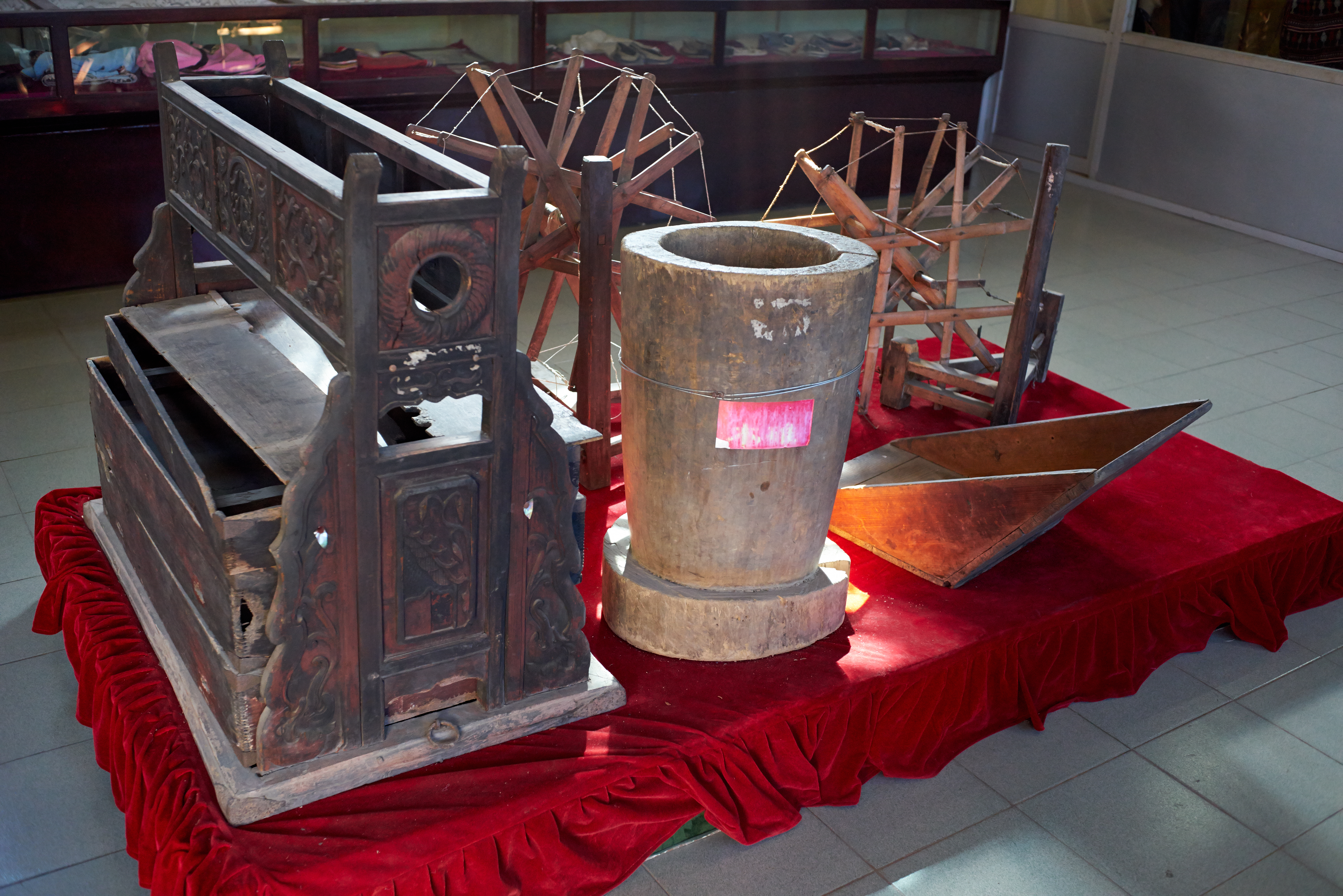
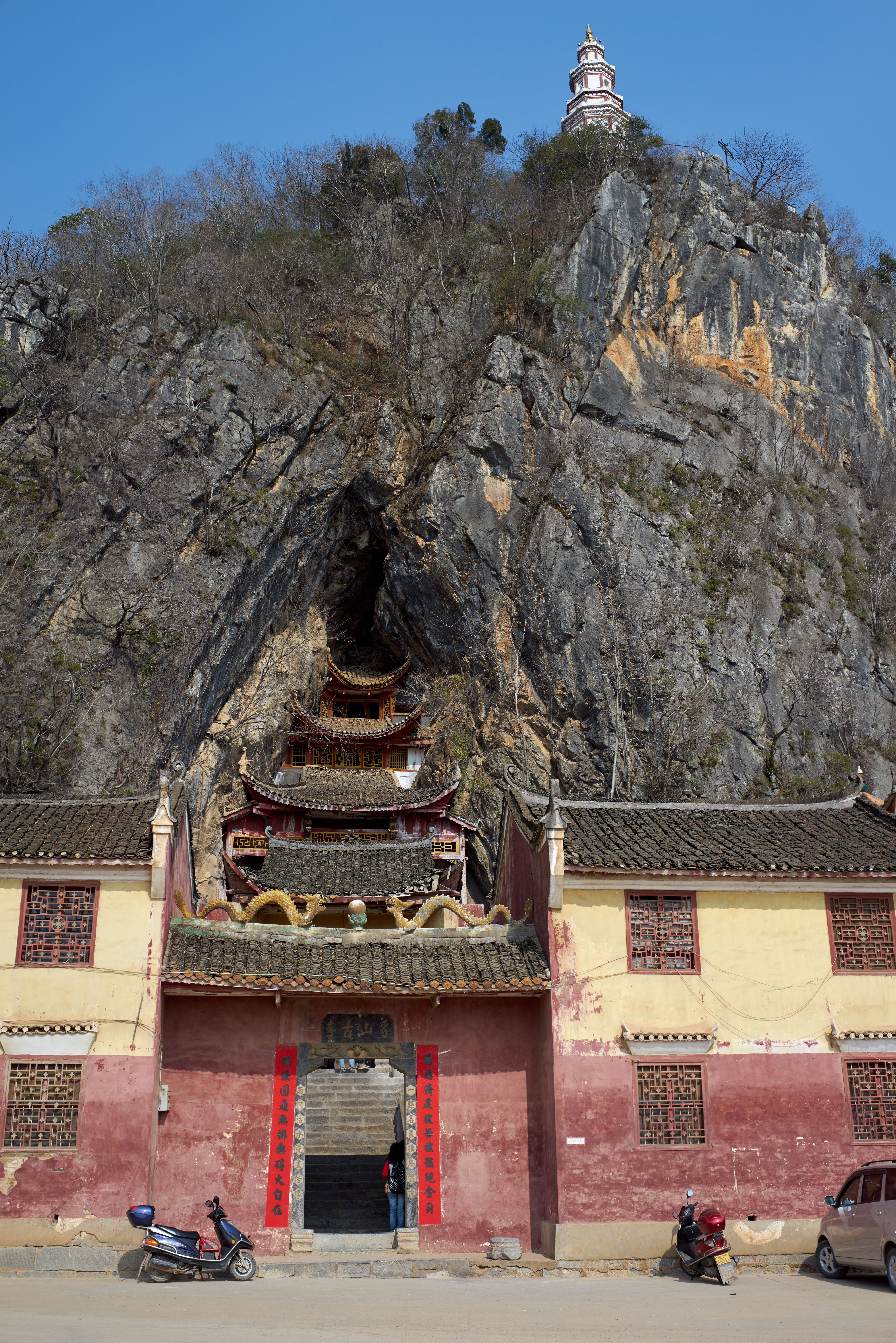
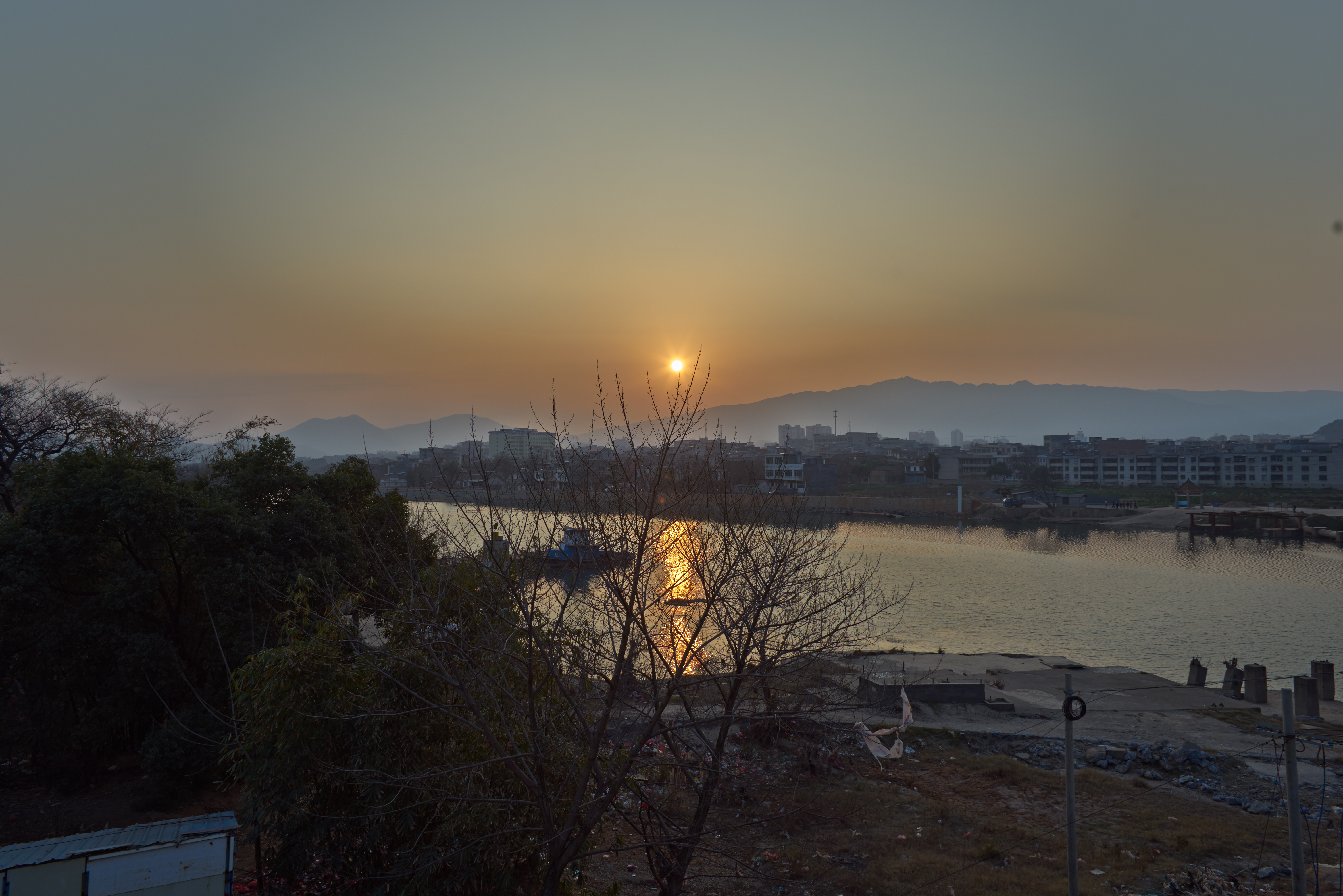
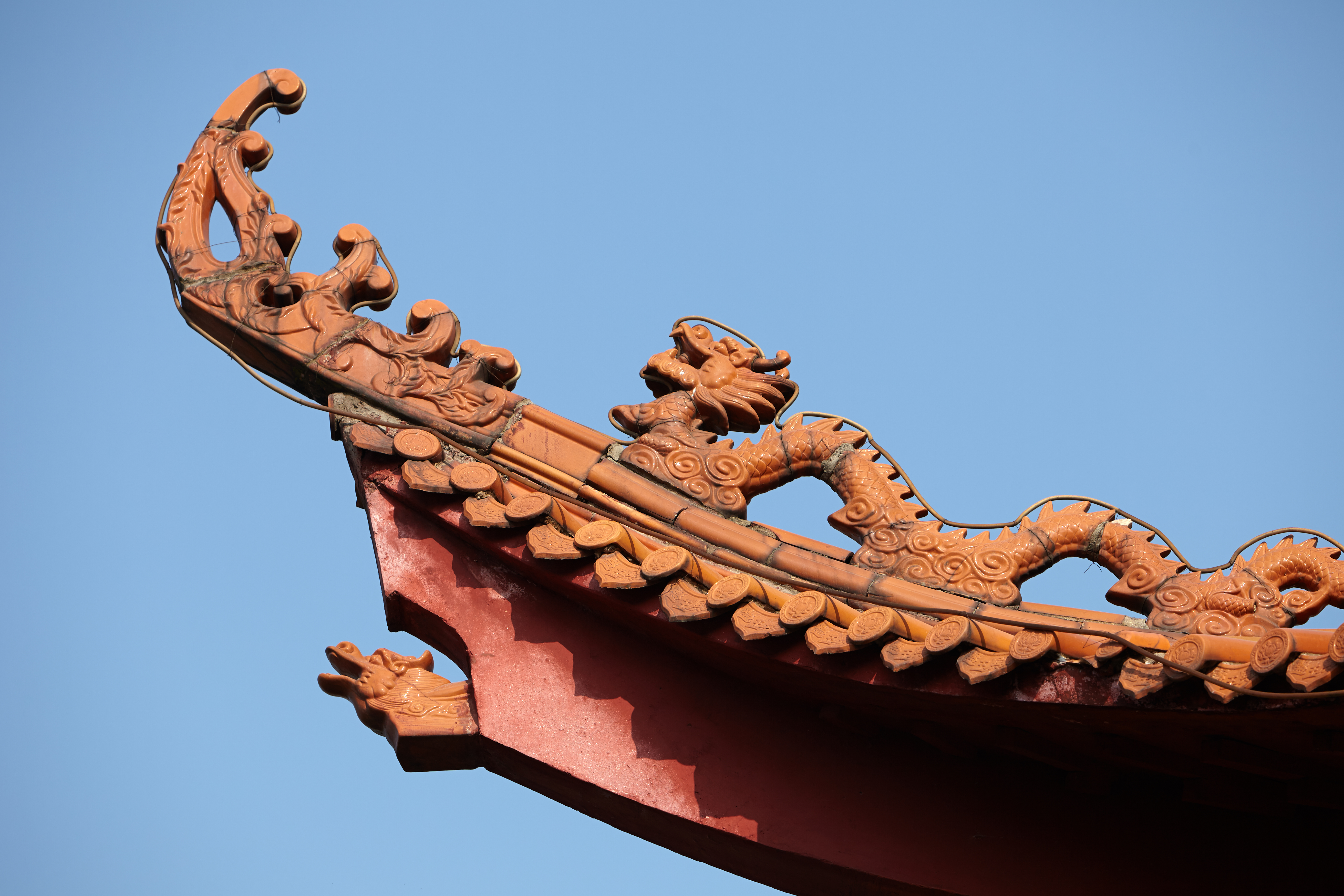
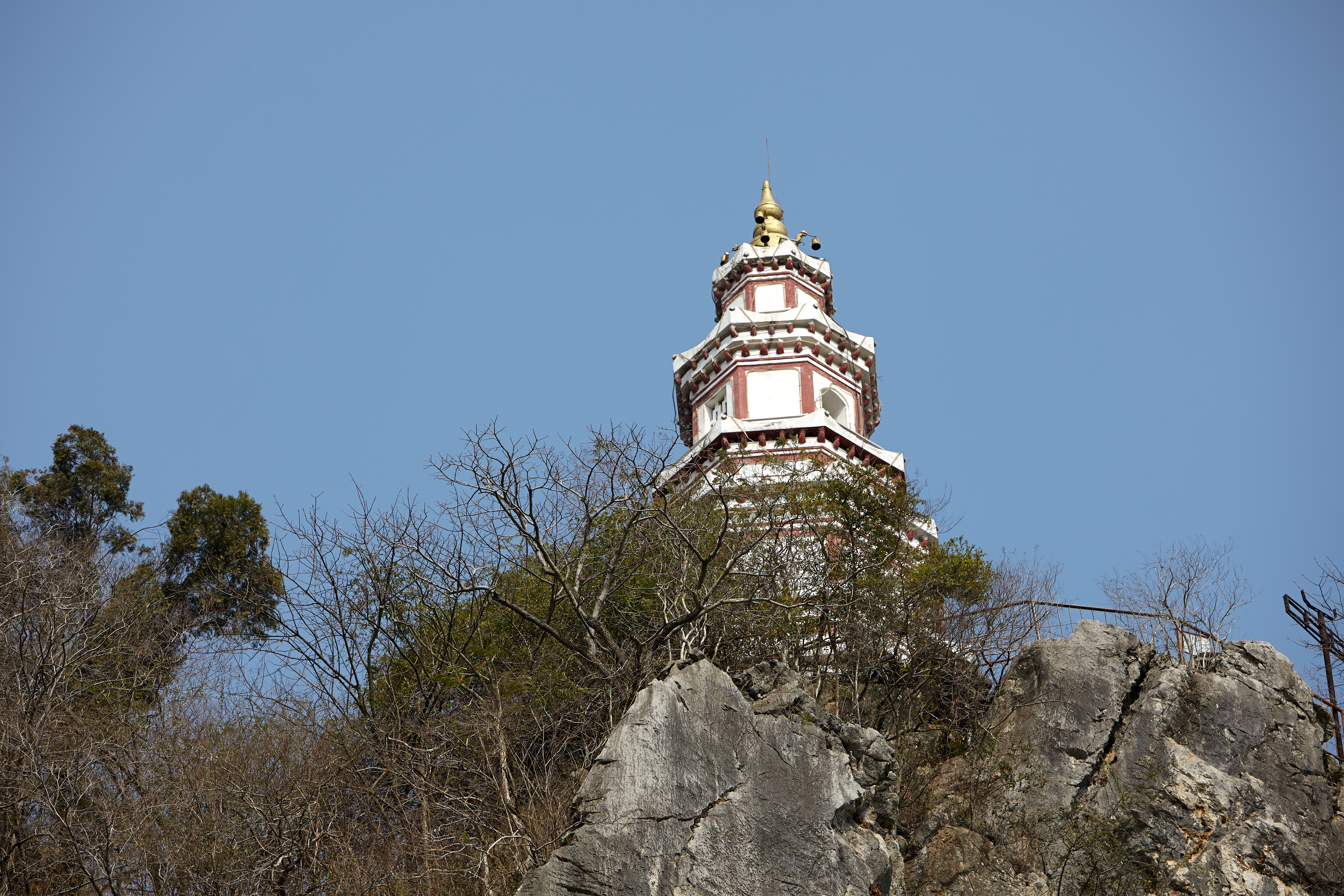
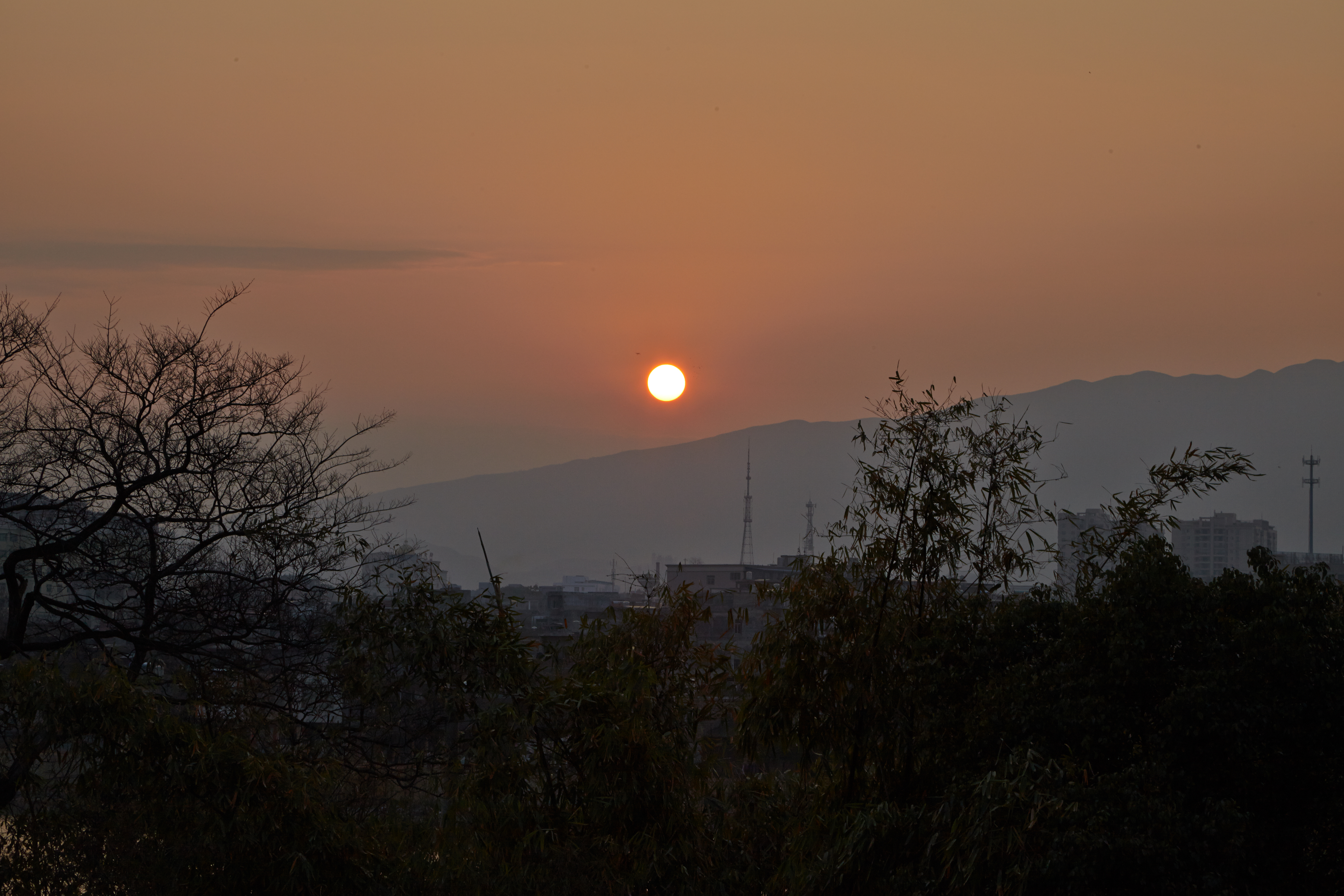
Related Photos:
DSC00788
DSC00802
DSC00825
IMG_4533

IMG_4554

IMG_4555

IMG_4562

IMG_4586

IMG_4596

IMG_4598

IMG_4599
IMG_4617

IMG_4627

IMG_4632

IMG_4645

IMG_4691

IMG_4702

IMG_4709
IMG_4724

IMG_4736
Topographic Map of Tianzi Mountain, Jianghua, Yongzhou, China
Find elevation by address:

Places near Tianzi Mountain, Jianghua, Yongzhou, China:
Recent Searches:
- Elevation of Corso Fratelli Cairoli, 35, Macerata MC, Italy
- Elevation of Tallevast Rd, Sarasota, FL, USA
- Elevation of 4th St E, Sonoma, CA, USA
- Elevation of Black Hollow Rd, Pennsdale, PA, USA
- Elevation of Oakland Ave, Williamsport, PA, USA
- Elevation of Pedrógão Grande, Portugal
- Elevation of Klee Dr, Martinsburg, WV, USA
- Elevation of Via Roma, Pieranica CR, Italy
- Elevation of Tavkvetili Mountain, Georgia
- Elevation of Hartfords Bluff Cir, Mt Pleasant, SC, USA