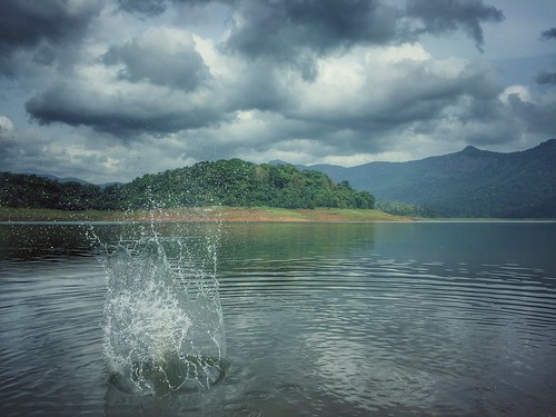
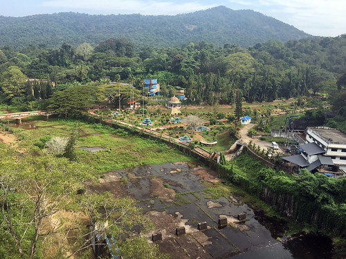
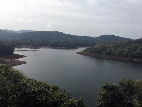
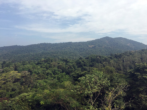
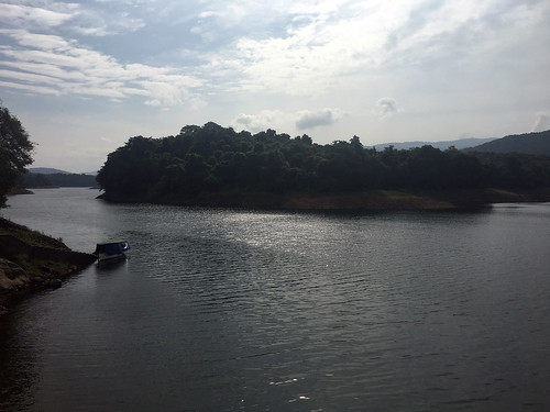
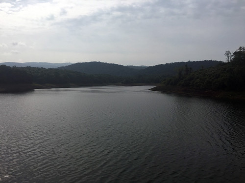
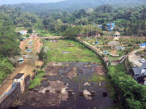
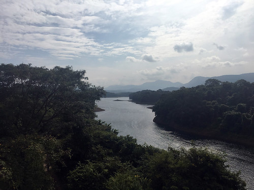
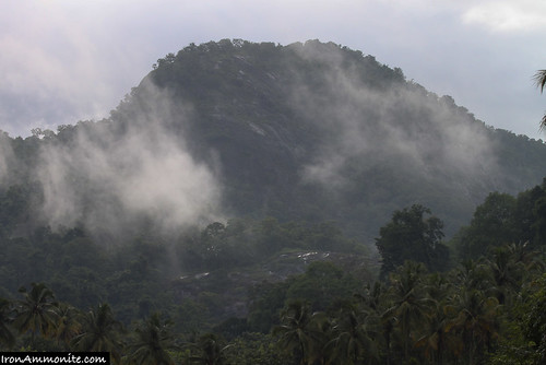
Elevation map of Thrissur, Kerala, India
Location: India > Kerala >
Longitude: 76.3637285
Latitude: 10.4145968
Elevation: 91m / 299feet
Barometric Pressure: 100KPa
Related Photos:
Topographic Map of Thrissur, Kerala, India
Find elevation by address:

Places in Thrissur, Kerala, India:
Thrissur
Chalakudy - Anamala Road
Kerala, India
Farm Road
Codemazk Inc
Vettukadavu Road
Koodapuzha Sastha Temple Road
Pappy Road
Meloor
Marottichal
Kodassery
Kodungallur
Pullu
Muringur Vadakkummuri
Pariyaram
Thalakottukara
Chalakudy
Kodaly
Chavakkad
Elanjipra
Chokkana
Palappilly
Peechi
Palissery
Konnakuzhy
Arimbur
Eravu
Parakkad
Manakkody
Kanjany
Vadanappally
Cherumkuzhy
Pananchery
Mullassery
Eranellur
Erumapetty
Pilakkad
Places near Thrissur, Kerala, India:
Muniyattukunnnu Hill Station
Palappilly
Kodaly
Kodassery
Marottichal
Kodassery - Elinjipra Service Co-operative Bank
Chokkana
Elanjipra
Farm Road
Koodapuzha Sastha Temple
Pappy Road
St. Antony's Ice Cubes
Vettukadavu Road
Koodapuzha Sastha Temple Road
Koodapuzha Canal
Vettukadavu Road
Codemazk Inc
Chalakudy - Anamala Road
Cherumkuzhy
Kerala, India
Recent Searches:
- Elevation of Corso Fratelli Cairoli, 35, Macerata MC, Italy
- Elevation of Tallevast Rd, Sarasota, FL, USA
- Elevation of 4th St E, Sonoma, CA, USA
- Elevation of Black Hollow Rd, Pennsdale, PA, USA
- Elevation of Oakland Ave, Williamsport, PA, USA
- Elevation of Pedrógão Grande, Portugal
- Elevation of Klee Dr, Martinsburg, WV, USA
- Elevation of Via Roma, Pieranica CR, Italy
- Elevation of Tavkvetili Mountain, Georgia
- Elevation of Hartfords Bluff Cir, Mt Pleasant, SC, USA

