Elevation of Three Pagodas Pass, Nong Lu, Myanmar (Burma)
Location: Myanmar (burma) > Kanchanaburi > Sangkhla Buri District > Payathonzu >
Longitude: 98.3833333
Latitude: 15.3
Elevation: 222m / 728feet
Barometric Pressure: 99KPa
Elevation Map:
Satellite Map:
Related Photos:

Meditation Retreat, Tham Kaeo Sawan Bandan, Thailand; accommodations and food
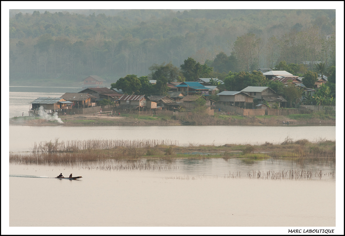
VILLAGE MON 2

สดชื่น.. #น้ามเย็น #แดดโค้ดจะแรง #สรุปดำ

เดินทางได้

ลงแพกันได้..

เด็กบนดอย..

สังขละบุรี '15

สังขละบุรี '15

สังขละบุรี '15

สังขละบุรี '15

My Inspiration
มิงกะลาบา ???????? อยู่ไทยไม่มีสัญญาณโทรศัพท์มา2 วัน ข้ามมาพม่ามีสัญญาณคืออาไร #myanmar

สังขละบุรี '14

สังขละบุรี '14

สังขละบุรี '14

สังขละบุรี '14

สังขละบุรี '14

สังขละบุรี '14

#เที่ยวปีใหม่2557

@สะพานมอญ #เที่ยวปีใหม่2557
กลับแล้วครับ
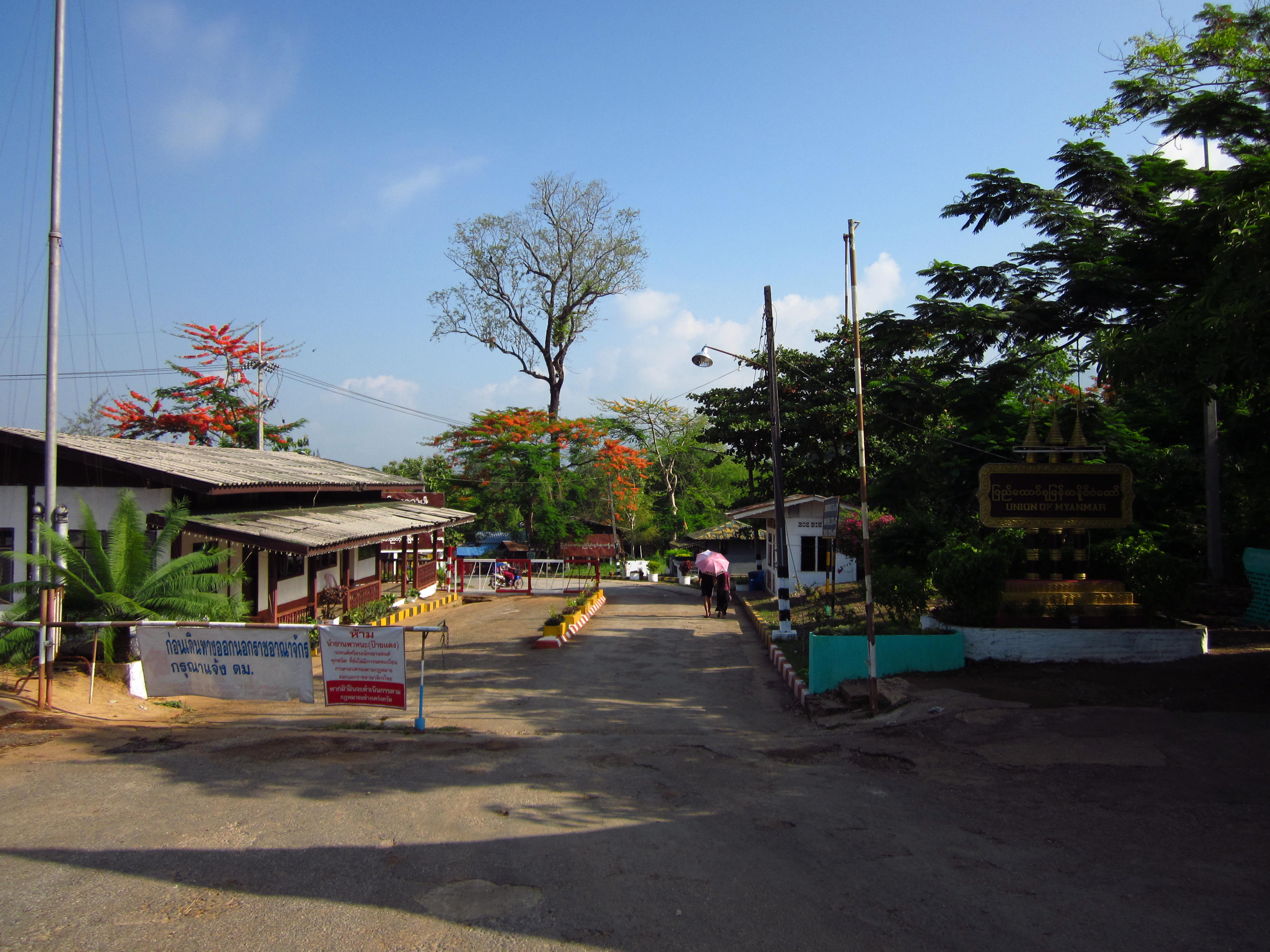
The border between Thailand and Myanmar
Topographic Map of Three Pagodas Pass, Nong Lu, Myanmar (Burma)
Find elevation by address:

Places near Three Pagodas Pass, Nong Lu, Myanmar (Burma):
Recent Searches:
- Elevation of Corso Fratelli Cairoli, 35, Macerata MC, Italy
- Elevation of Tallevast Rd, Sarasota, FL, USA
- Elevation of 4th St E, Sonoma, CA, USA
- Elevation of Black Hollow Rd, Pennsdale, PA, USA
- Elevation of Oakland Ave, Williamsport, PA, USA
- Elevation of Pedrógão Grande, Portugal
- Elevation of Klee Dr, Martinsburg, WV, USA
- Elevation of Via Roma, Pieranica CR, Italy
- Elevation of Tavkvetili Mountain, Georgia
- Elevation of Hartfords Bluff Cir, Mt Pleasant, SC, USA