Elevation of Thondimala neelakurinji scenic point, Bodimet Pooppara, road, Thondimala, Tamil Nadu, India
Location: India > Tamil Nadu > Theni >
Longitude: 77.2620979
Latitude: 10.0220297
Elevation: 1417m / 4649feet
Barometric Pressure: 85KPa
Elevation Map:
Satellite Map:
Related Photos:

To create one's world in any of the arts takes courage…

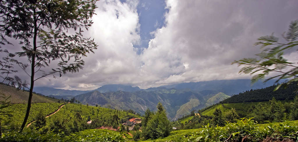
An early morning at the tea estate

Top Station

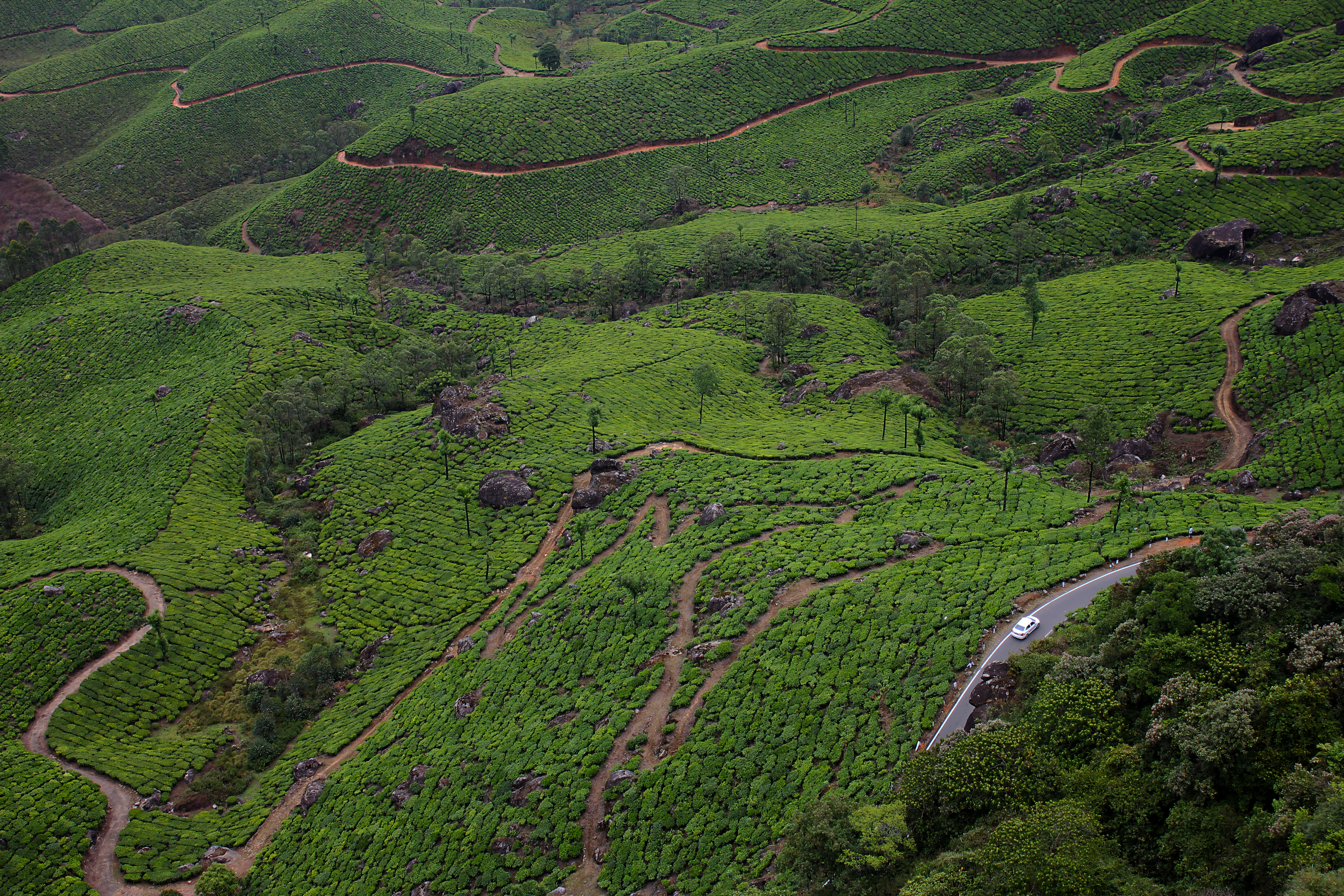
Tea Plantations near Top Station

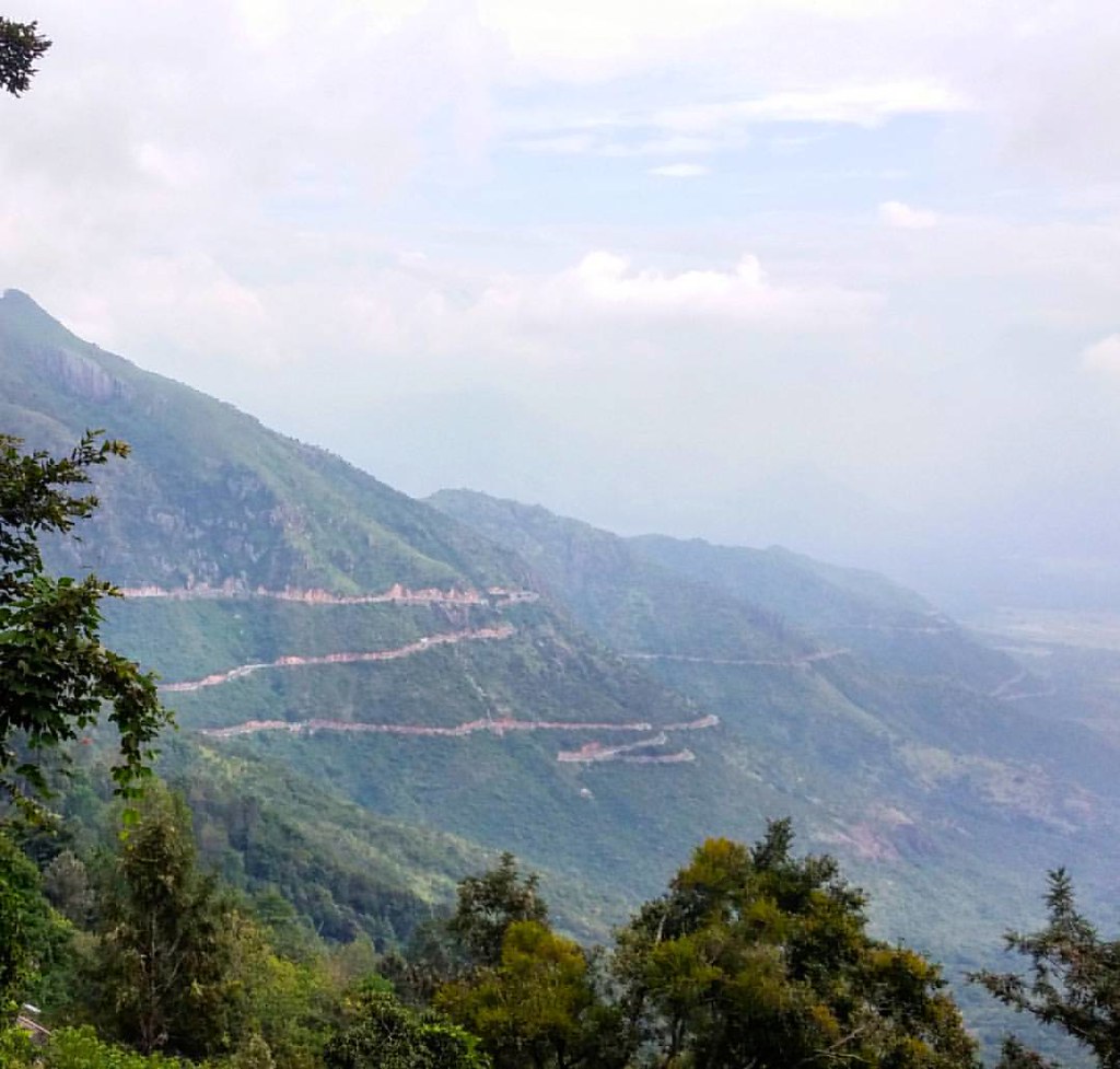
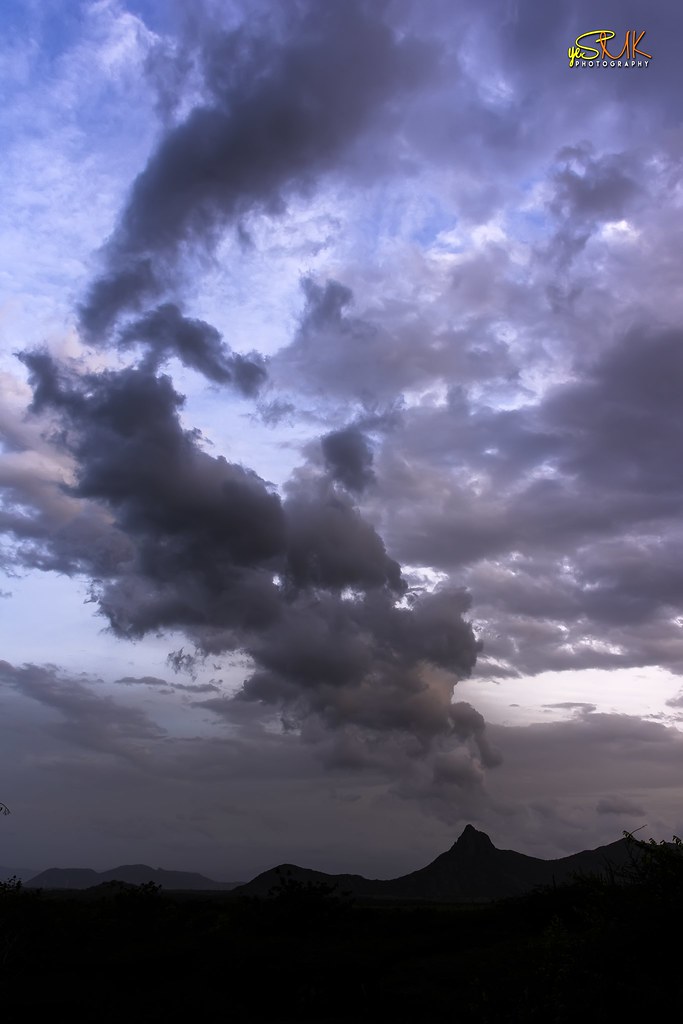
Splendid view of valley
In the clouds at Top Station so no views today...

Top Station view point, Munnar
Awesome route 49 #Bodinayakanur pass from the south western Ghats to Tamil Nadu. Photo doesn't do the views from the bus justice. One of my favourite mountain pass roads. #india #ghats #route49 #tamilnadu #kerala #thenidistrict #mountainpass

Taking in the View
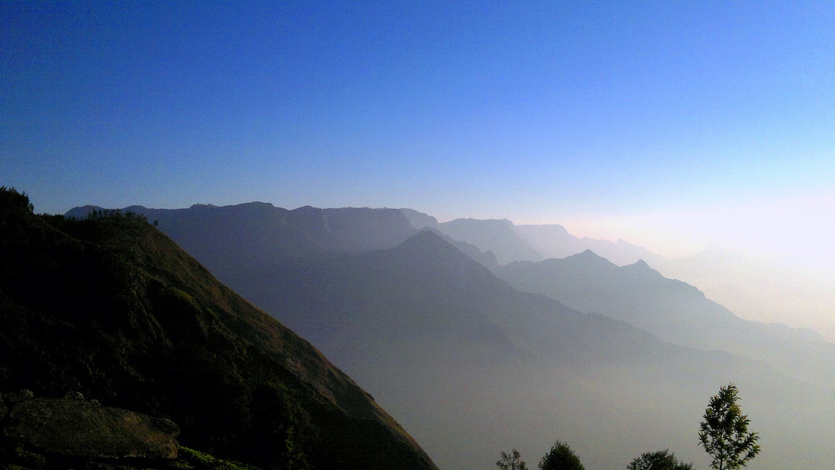
the view is of distant kodaikannal range of Tamil Nadu light up by the early morning sunlight. there is actually a road to reach kodaikannal through the teas estate interiors but you need a real hardworking 4x4 or trek for 10hrs. Kolukumali near munnar.
Can see the tea factory now

a view from Periyakanal Waterfalls

On way to Kolukkumalai

a view of Anayirangal Dam Reservoir

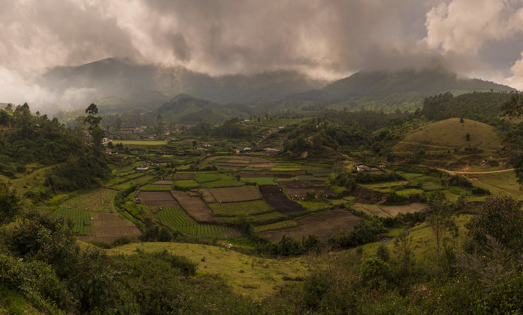
view of the plains

View II

View from Top Station

View Top Station

View from Top Station

View from Top Station

Bodimettu: view down to valley below

Hairpin bends

Hairpin bends
Theni - Munnar Road

Kerala_The Western Ghats

Top Station

Les Ghats occidentaux du Kerala (Inde)

Tea Plantation #2

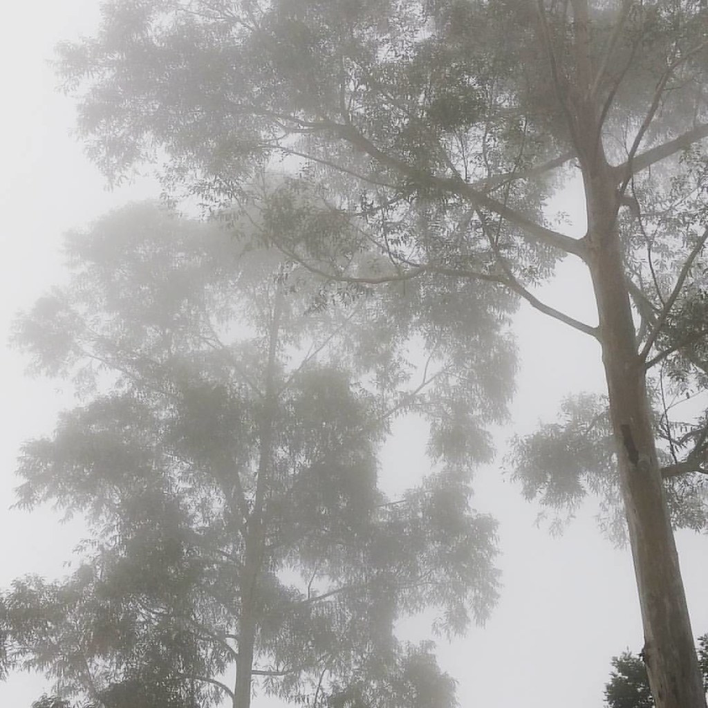
223. Misty Munnar

Back in the tea plantations
Artists themselves are not confined, but their output is...

Hairpin bends

Tea plantation

Top Station

Nature's Rest
Tea Gardens

Top Station

Top Station
Topographic Map of Thondimala neelakurinji scenic point, Bodimet Pooppara, road, Thondimala, Tamil Nadu, India
Find elevation by address:

Places near Thondimala neelakurinji scenic point, Bodimet Pooppara, road, Thondimala, Tamil Nadu, India:
Bodimettu
Muthuvan Kudi
Hillon Resorts
Capithans Bungalow
Anaerangal Camp
Spice Trails Resorts
Laya Homestay
Vellukunnel Lake View Bungalow
Kamal Holidays
Suryanelli
Suryanelli Tea Garden View Point
Kurangani
Tea Town Munnar
Kottagudi
Kurangani Hills Trekking
Anayirangal Dam Reservoir
Kolukkumalai Mountain Hut
Suryanelli Town
Kolukkumalai
Kolukkumalai Tea Estate
Recent Searches:
- Elevation of Corso Fratelli Cairoli, 35, Macerata MC, Italy
- Elevation of Tallevast Rd, Sarasota, FL, USA
- Elevation of 4th St E, Sonoma, CA, USA
- Elevation of Black Hollow Rd, Pennsdale, PA, USA
- Elevation of Oakland Ave, Williamsport, PA, USA
- Elevation of Pedrógão Grande, Portugal
- Elevation of Klee Dr, Martinsburg, WV, USA
- Elevation of Via Roma, Pieranica CR, Italy
- Elevation of Tavkvetili Mountain, Georgia
- Elevation of Hartfords Bluff Cir, Mt Pleasant, SC, USA