Elevation of Thiensville, WI, USA
Location: United States > Wisconsin > Ozaukee County >
Longitude: -87.978700
Latitude: 43.2375067
Elevation: 207m / 679feet
Barometric Pressure: 99KPa
Elevation Map:
Satellite Map:
Related Photos:

Covered Bridge Long Exposure

Resting Lilly Pads

Red-bellied Woodpecker (female)

Deer's eye view
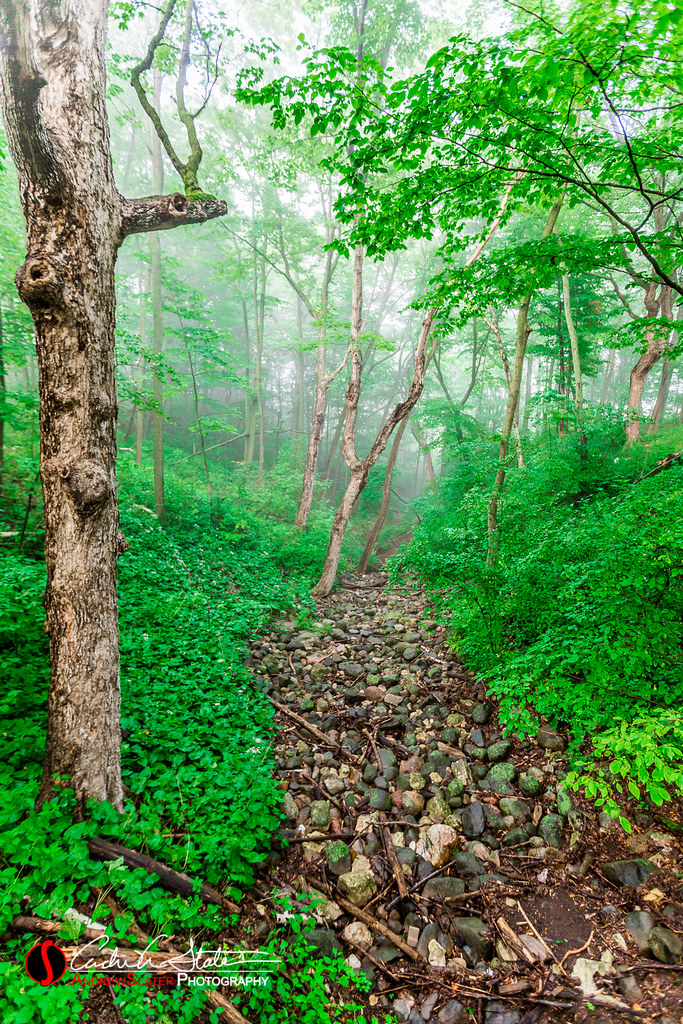
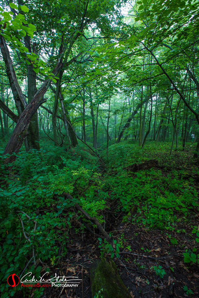
Schlitz Ravine

specific gravity

Tree Frog B&W
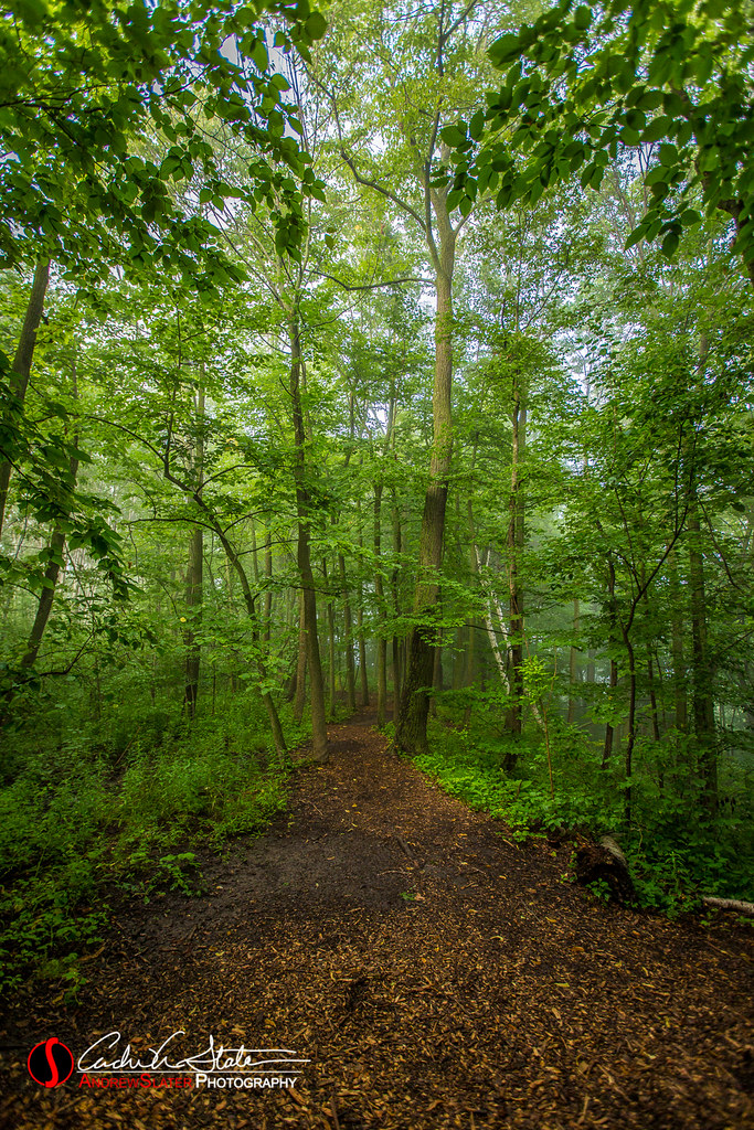
Meandering Schlitz Trail
Through the Old Bridge
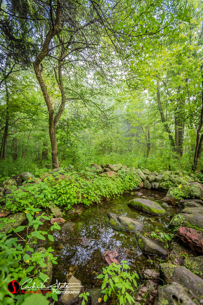
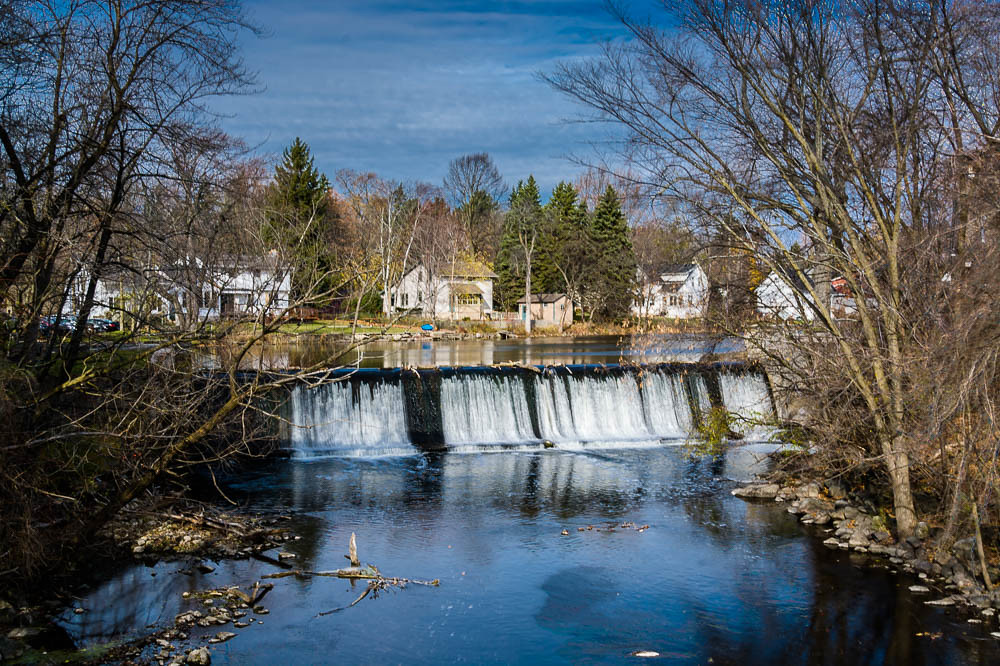
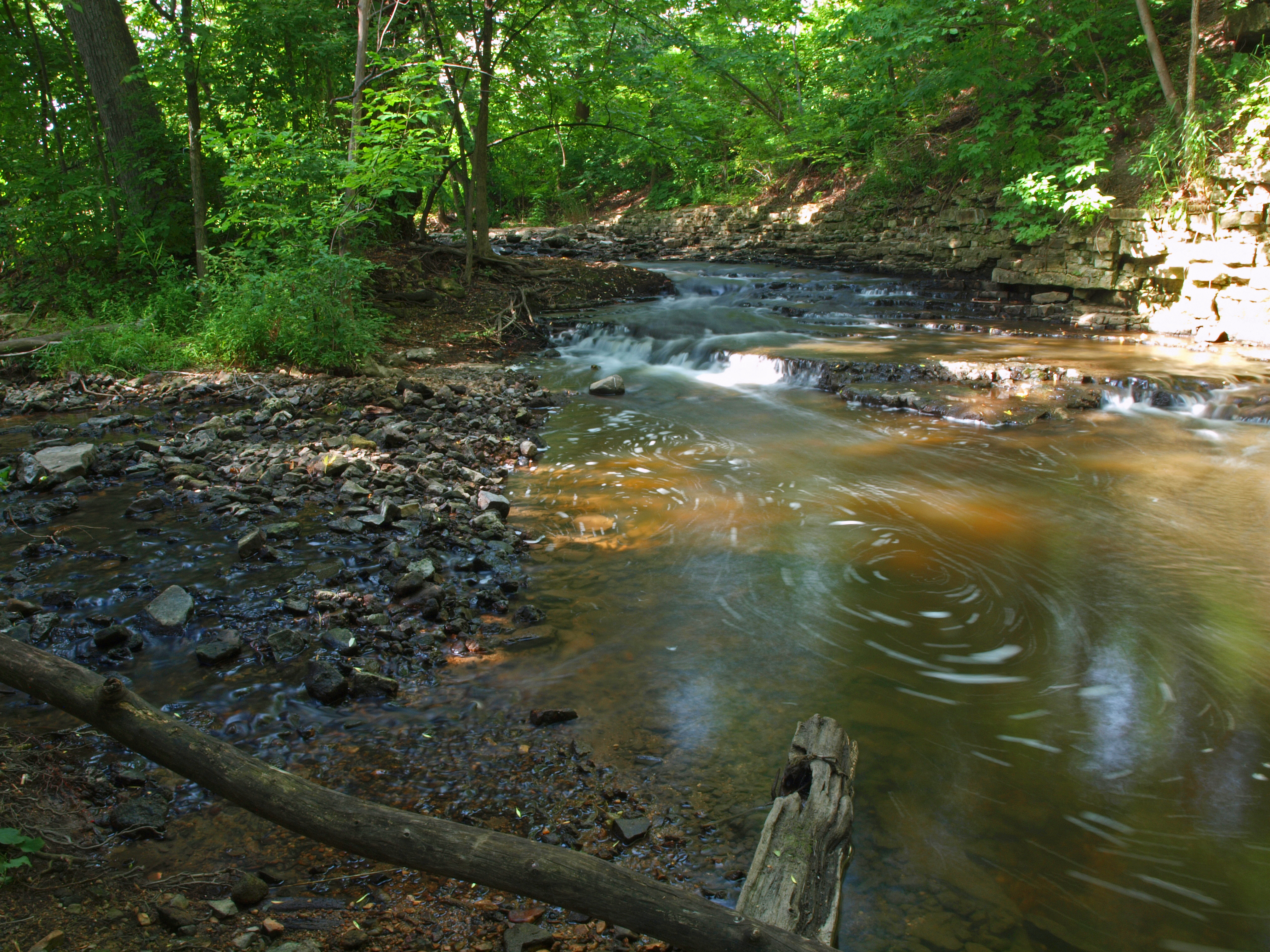
Schlitz Creek
Huth Ravine

A Wren's Christmas

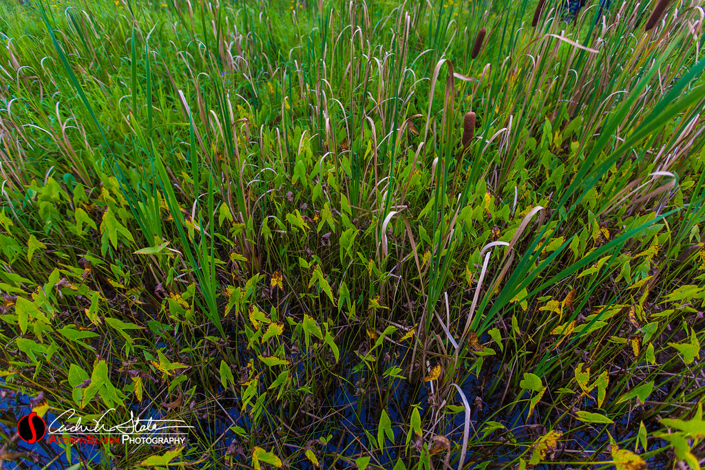
Webbed Flower

View of Lake Michigan from Concordia U.

early bloom...
20140821_SchlitzAudubon-264

Tree Frog
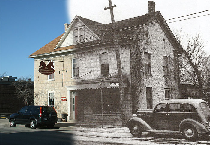
Nero's Saloon, and Florist/Stagecoach Inn
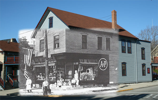
The Great Atlantic and Pacific Tea Co.

Moon-shine
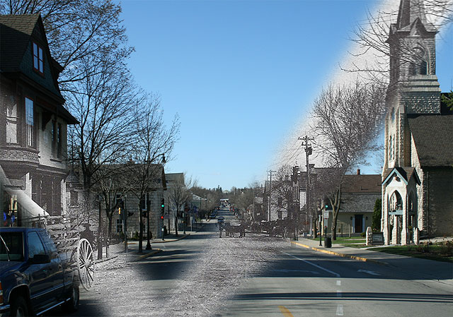
Washington Avenue, then & now

"Who's that tramping over my bridge?"

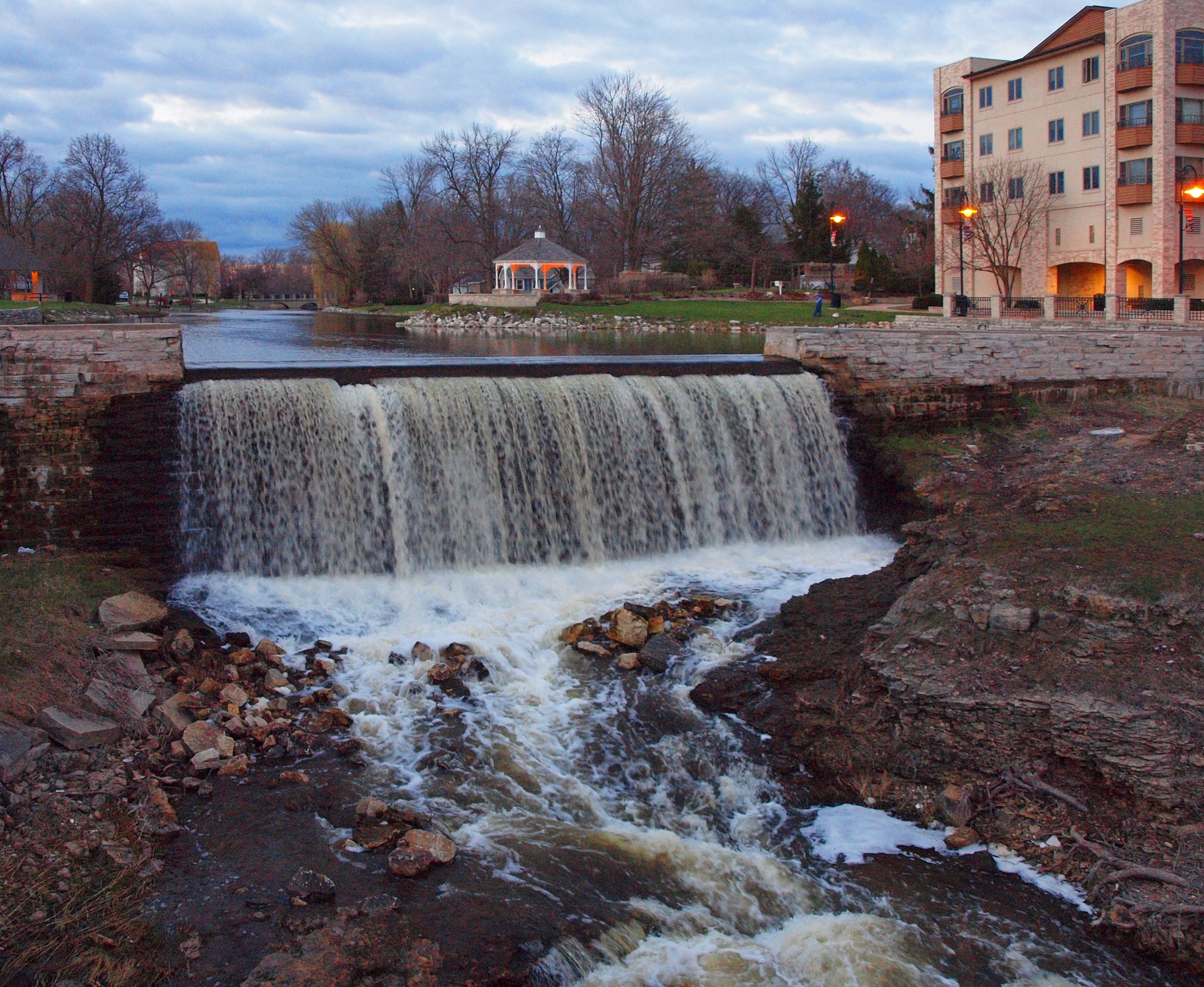
Mill Pond
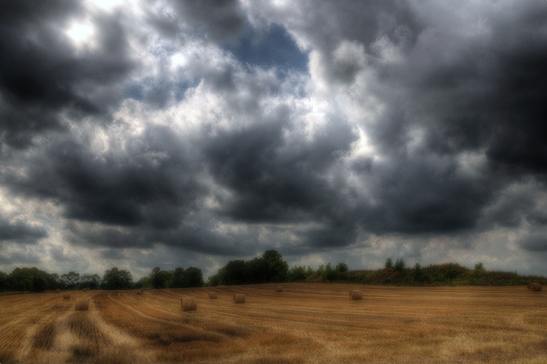
Wisconsin Hay Harvest Prior to Rain
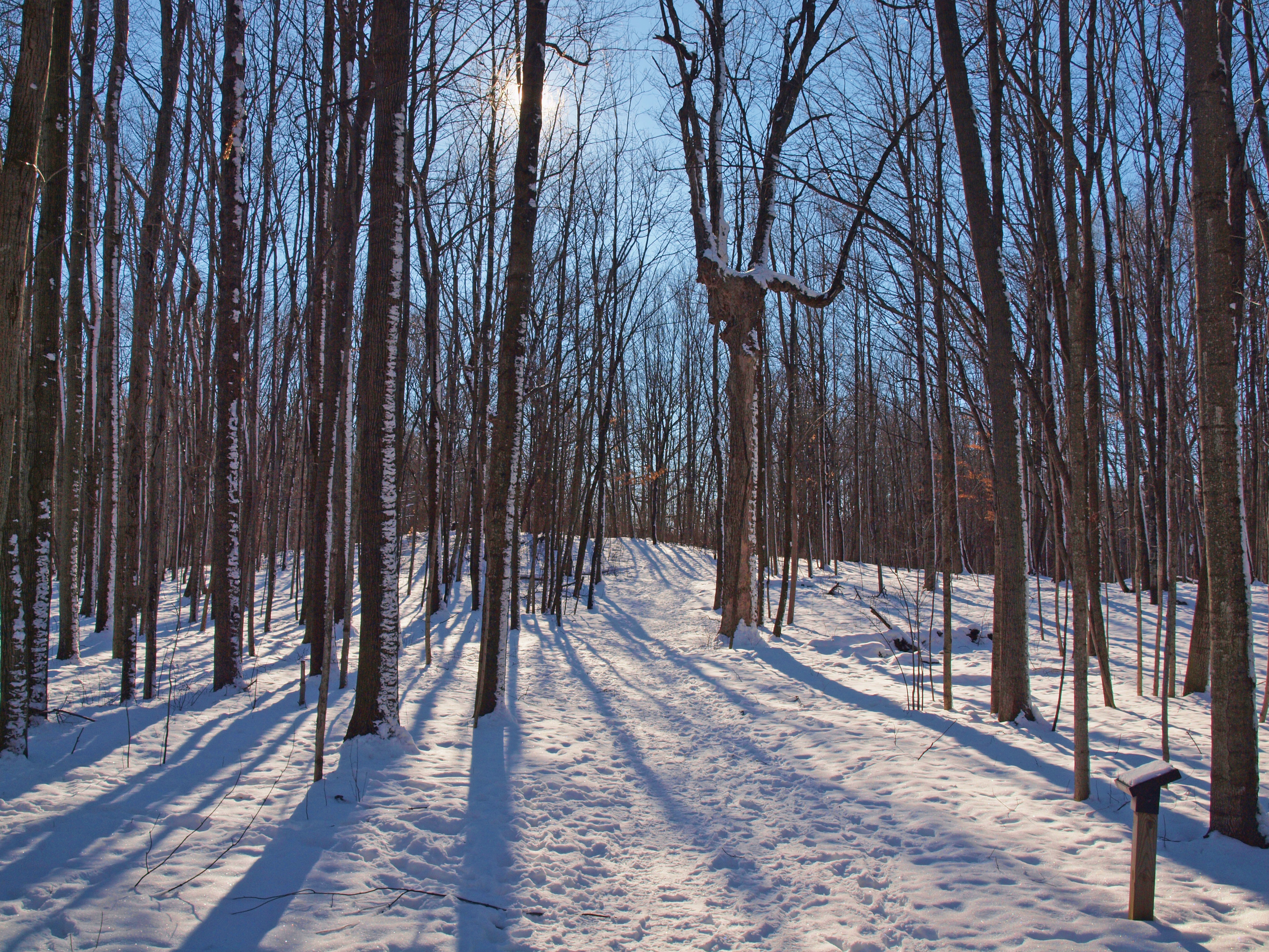
Walk in the Woods
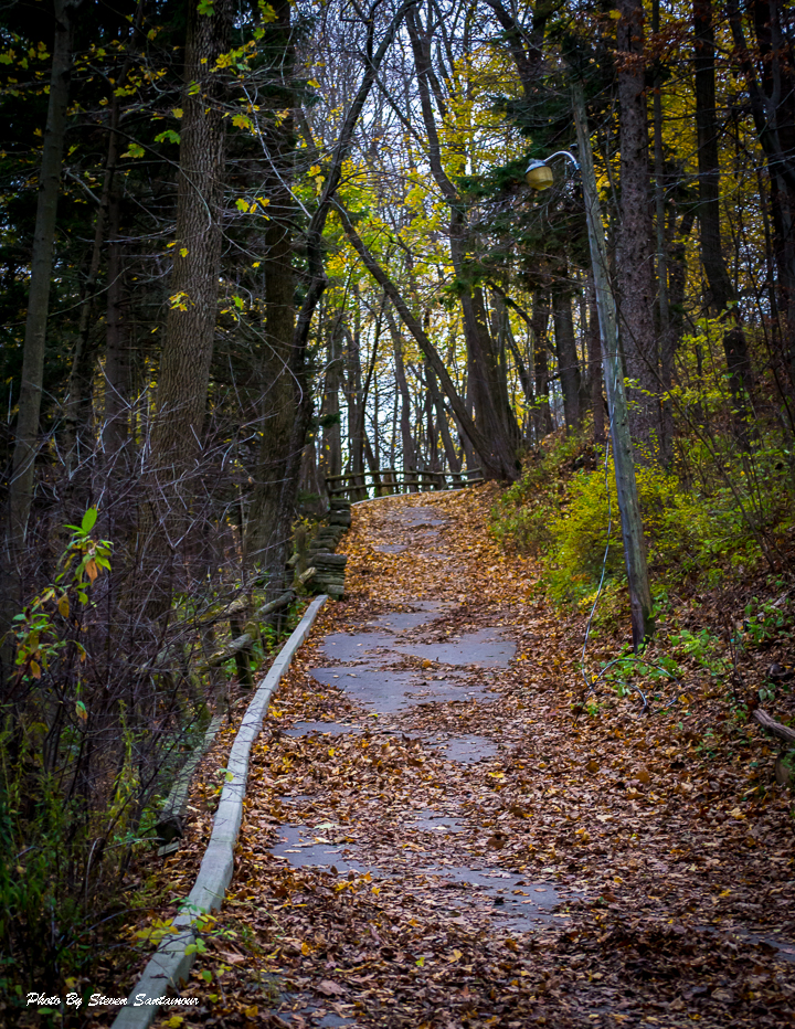
The Path
The Beaten Path
The Liquid of Life

20131007-IMG_4370-Edit.jpg
119 Reservoir
August, Lake Michigan
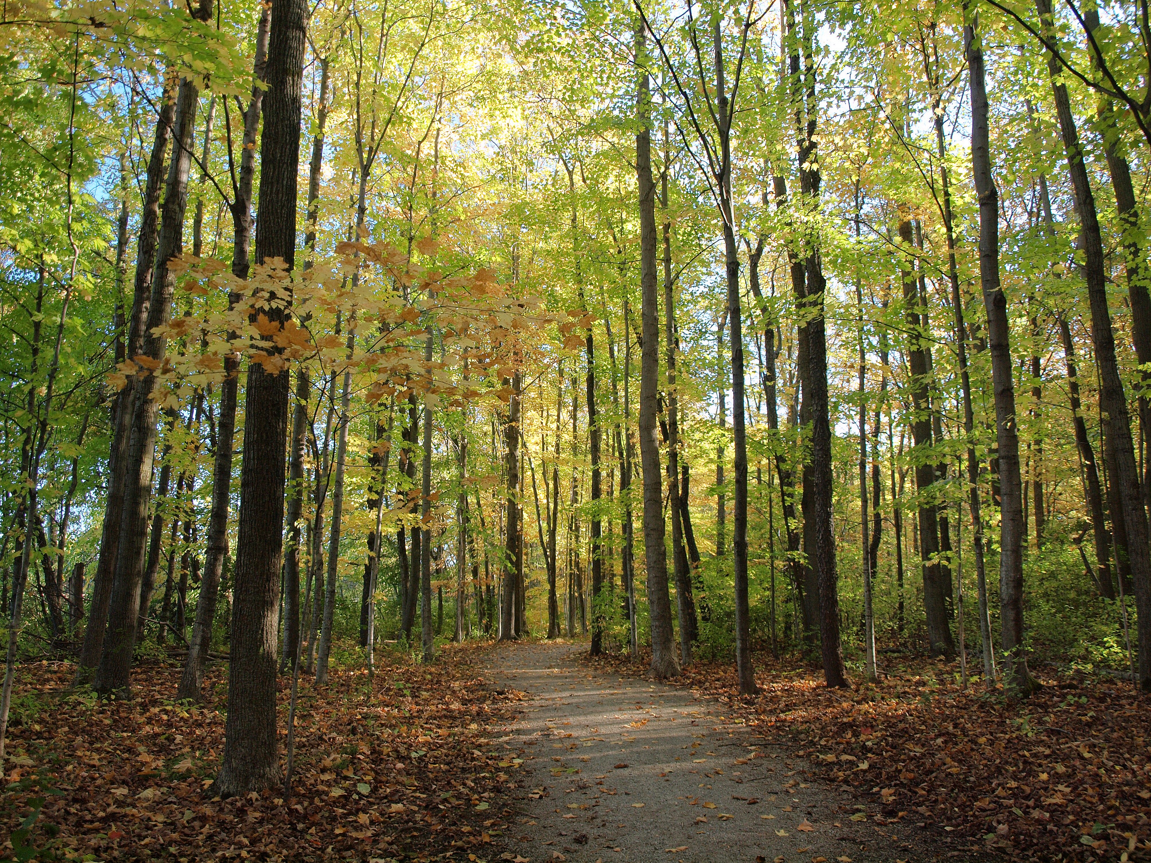
Choose Your Own Path

Round The Bend
Cedar Creek Dam
Dretzka I

20130719-IMG_1171-Edit.jpg

Farewell FLW
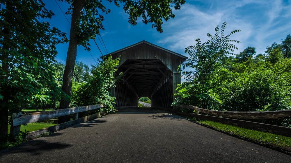
Cedarburg Covered Bridge
My Favorite Place

Icy Lake Michigan Rush

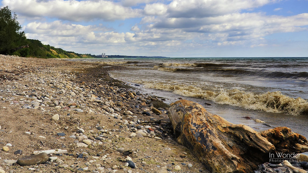
Lake Michigan
Topographic Map of Thiensville, WI, USA
Find elevation by address:

Places in Thiensville, WI, USA:
Places near Thiensville, WI, USA:
N Main St, Thiensville, WI, USA
232 S Main St
Cedarburg Rd, Mequon, WI, USA
3606 W Candlewick Ct
5002 W Kathleen Ln
4915 W Hiawatha Dr
Mequon
5500 W Brown Deer Rd
11037 N San Marino Dr
8755 N Dean Cir
601 W Haddonstone Pl
11325 N Granville Rd
8111 N 38th St
8112 N 38th St
8622 N 87th St
7300 W Bradley Rd
1501 W Larkspur Ln
River Hills
W Heather Ln, River Hills, WI, USA
Land Bank
Recent Searches:
- Elevation of Corso Fratelli Cairoli, 35, Macerata MC, Italy
- Elevation of Tallevast Rd, Sarasota, FL, USA
- Elevation of 4th St E, Sonoma, CA, USA
- Elevation of Black Hollow Rd, Pennsdale, PA, USA
- Elevation of Oakland Ave, Williamsport, PA, USA
- Elevation of Pedrógão Grande, Portugal
- Elevation of Klee Dr, Martinsburg, WV, USA
- Elevation of Via Roma, Pieranica CR, Italy
- Elevation of Tavkvetili Mountain, Georgia
- Elevation of Hartfords Bluff Cir, Mt Pleasant, SC, USA