Elevation of Thibodaux, LA, USA
Location: United States > Louisiana > Lafourche Parish > >
Longitude: -90.822871
Latitude: 29.7957633
Elevation: 4m / 13feet
Barometric Pressure: 101KPa
Elevation Map:
Satellite Map:
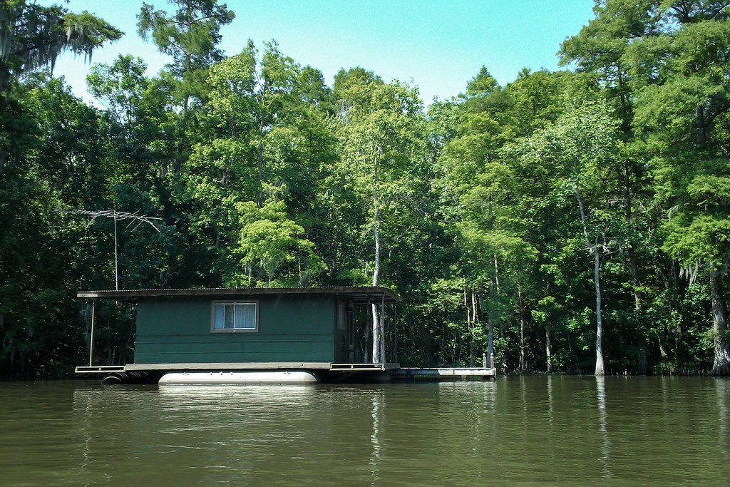
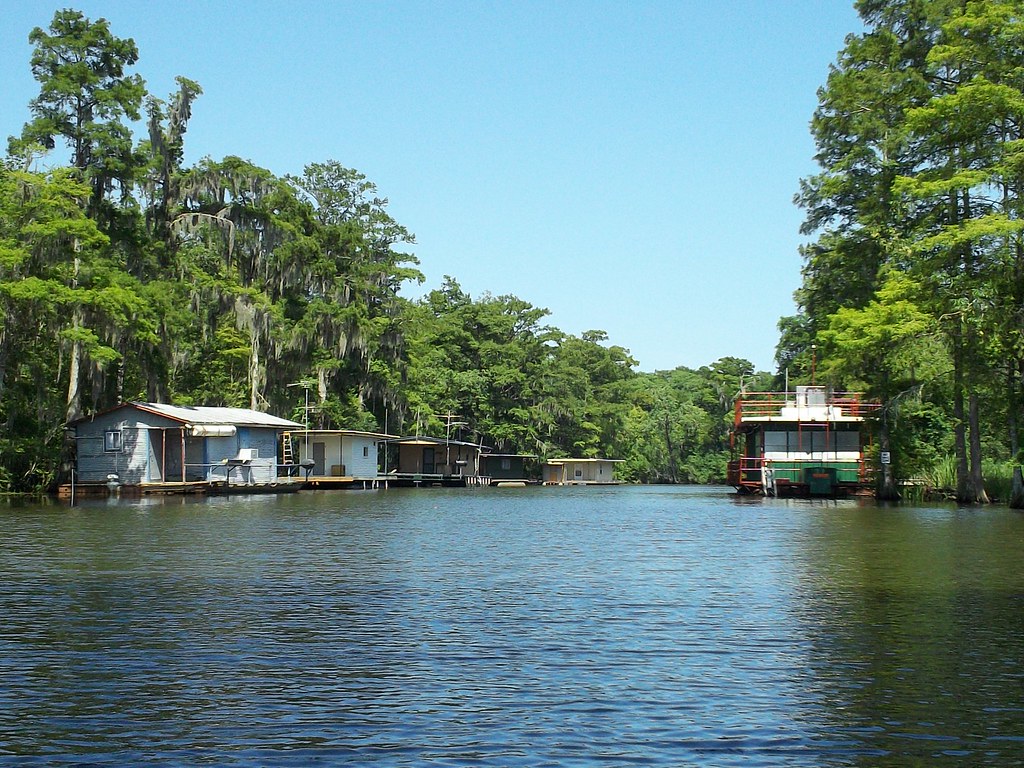
Related Photos:

Aerial View of Terrebonne Parish, Louisiana

Yellow-throated Warbler
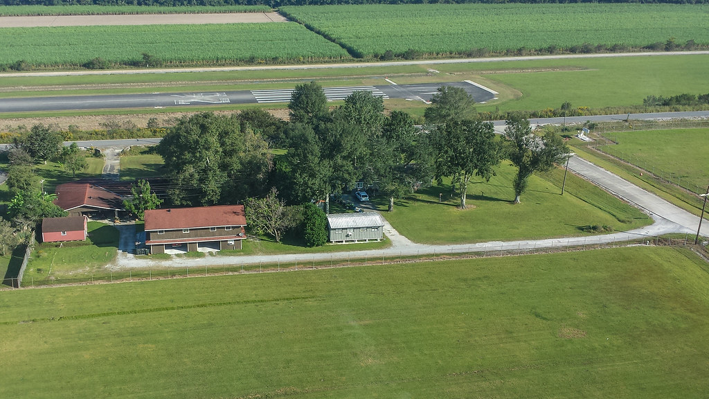
Aerial View of Terrebonne Parish, Louisiana

Tree 2

Homeward Bound

Bayou Boeuf Cypress

Leading Lines
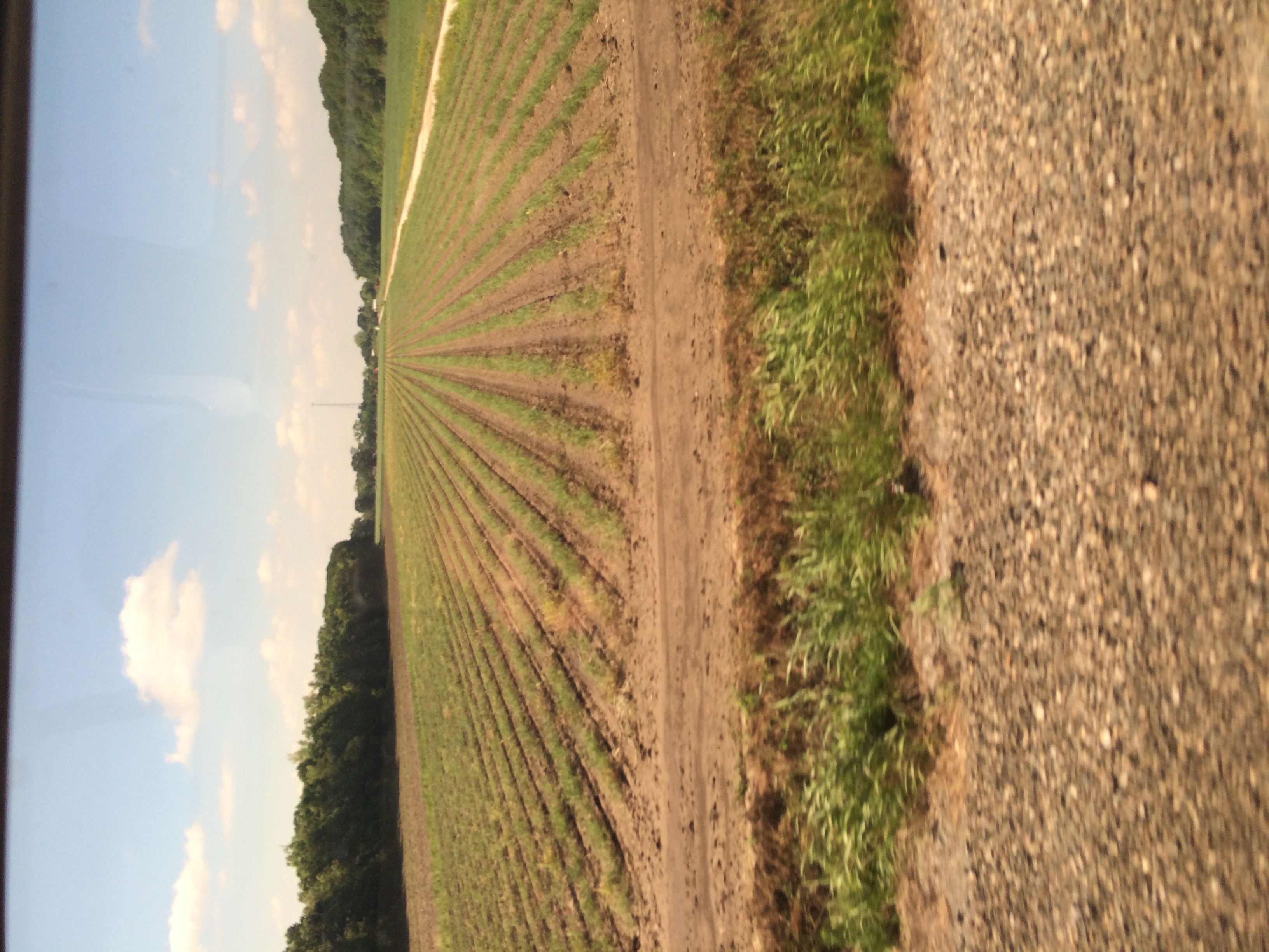
On Amtrak train 1 the Sunset Limited

Magnolia Plantation & Garden
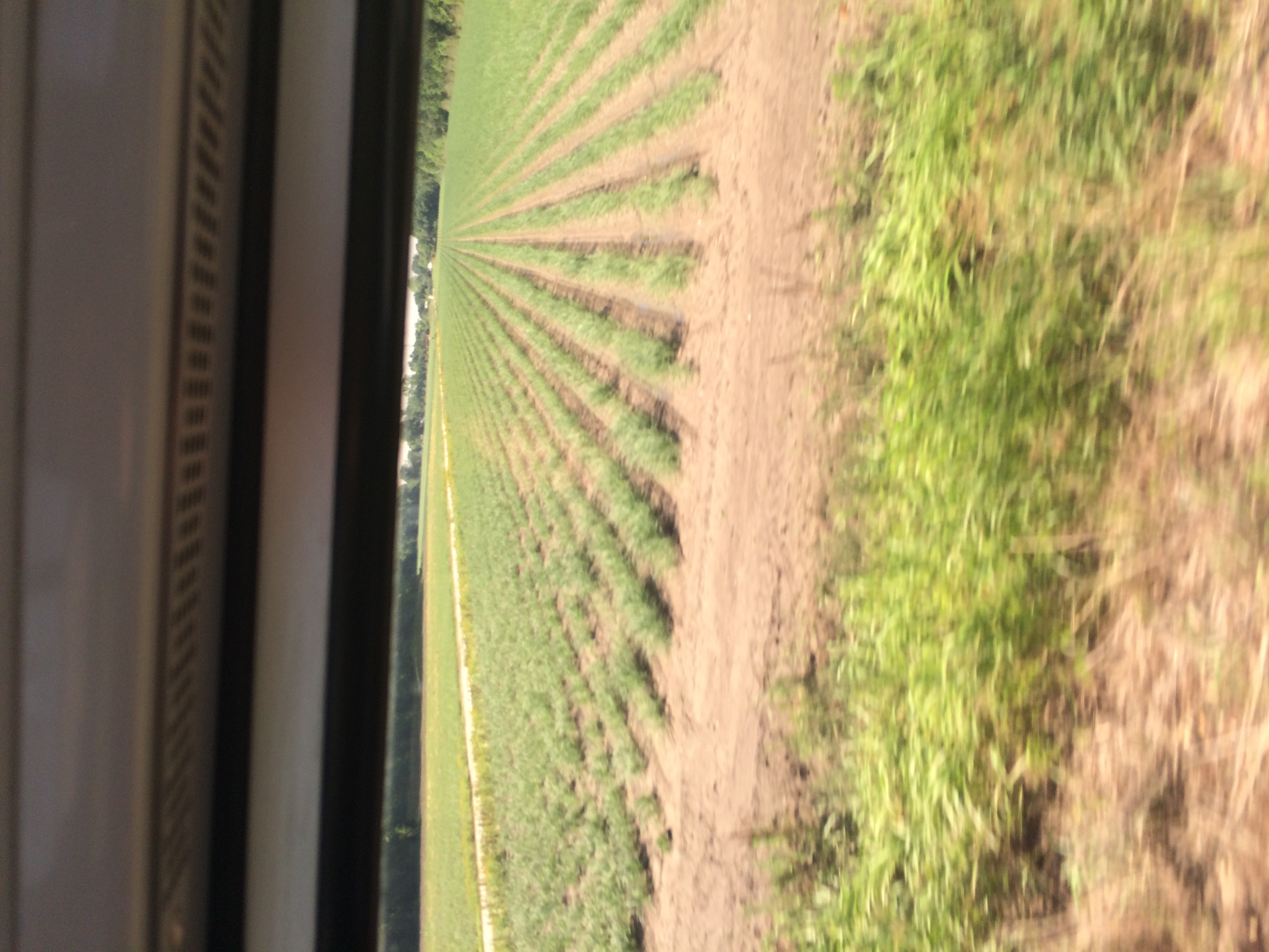
On Amtrak train 1 the Sunset Limited
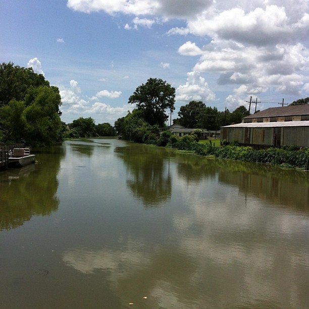
On the bayou in Thibodaux.
Bayou Boeuf, Louisiana

On Amtrak train 1 the Sunset Limited

Bayou Boeuf
Bayou Boeuf
Topographic Map of Thibodaux, LA, USA
Find elevation by address:

Places in Thibodaux, LA, USA:
Acadia Woods Dr, Thibodaux, LA, USA
T J V Ln, Thibodaux, LA, USA
Louisiana 3185
Lafourche Drive
Waverly Road
Home Cottage Road
Bocage Drive
Parkside Drive
David Drive
Places near Thibodaux, LA, USA:
757 Bayou Rd
605 Canal Blvd
719 President St
3, LA, USA
Lafourche Drive
1200 Bourbon St
724 Mcculla St
700 E 7th St
219 N 12th St
131 Pecan St
202 Longwood Dr
606 Maple St
114 Hermitage Dr
402 Houmas Dr
207 Belmont Dr
1301 St Mary St
105 Talbot Ave
308 Audubon Ave
422 La-308
500 St Bernard St
Recent Searches:
- Elevation of Corso Fratelli Cairoli, 35, Macerata MC, Italy
- Elevation of Tallevast Rd, Sarasota, FL, USA
- Elevation of 4th St E, Sonoma, CA, USA
- Elevation of Black Hollow Rd, Pennsdale, PA, USA
- Elevation of Oakland Ave, Williamsport, PA, USA
- Elevation of Pedrógão Grande, Portugal
- Elevation of Klee Dr, Martinsburg, WV, USA
- Elevation of Via Roma, Pieranica CR, Italy
- Elevation of Tavkvetili Mountain, Georgia
- Elevation of Hartfords Bluff Cir, Mt Pleasant, SC, USA