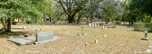
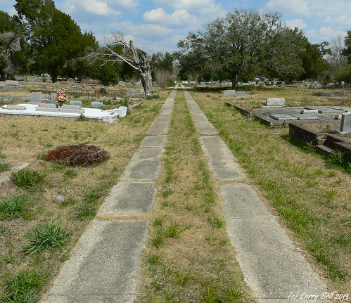
Elevation of Theophilus Rd, Creola, AL, USA
Location: United States > Alabama > Mobile County > Creola >
Longitude: -88.026086
Latitude: 30.8684896
Elevation: 3m / 10feet
Barometric Pressure: 101KPa
Related Photos:
Topographic Map of Theophilus Rd, Creola, AL, USA
Find elevation by address:

Places near Theophilus Rd, Creola, AL, USA:
550 Whidden Dr
Vaughn Dr E, Satsuma, AL, USA
5821 Vaughn Dr W
5862 Twin Branch Dr E
Sailor Rd, Creola, AL, USA
E Orange Ave, Satsuma, AL, USA
177 Magnolia Ave
Creola
US-43, Creola, AL, USA
113 Kenneth Moss Ct
Satsuma
Chelginet Ln, Creola, AL, USA
263 Woodland Ave
45 Saraland Ave
226 Anderson Rd
Country Ln, Axis, AL, USA
Axis
Saraland
Saraland Elementary School
118 Ideal Dr
Recent Searches:
- Elevation of Corso Fratelli Cairoli, 35, Macerata MC, Italy
- Elevation of Tallevast Rd, Sarasota, FL, USA
- Elevation of 4th St E, Sonoma, CA, USA
- Elevation of Black Hollow Rd, Pennsdale, PA, USA
- Elevation of Oakland Ave, Williamsport, PA, USA
- Elevation of Pedrógão Grande, Portugal
- Elevation of Klee Dr, Martinsburg, WV, USA
- Elevation of Via Roma, Pieranica CR, Italy
- Elevation of Tavkvetili Mountain, Georgia
- Elevation of Hartfords Bluff Cir, Mt Pleasant, SC, USA


