Elevation of The Orchard, KS-99, Emporia, KS, USA

Location: United States > Kansas > Lyon County > Emporia >

Longitude: -96.167517

Latitude: 38.5085613

Elevation: 364m / 1194feet

Barometric Pressure: 97KPa

Elevation Map:

elevation map of The Orchard, KS-99, Emporia, KS, USA

Satellite Map:

Satellite map of The Orchard, KS-99, Emporia, KS, USA

Related Photos:

emporia kansas redrocks us50 nationalregister nationalregisterofhistoricplaces williamallenwhite lyoncounty statehistoricsite
White, William Allen, House- Emporia KS
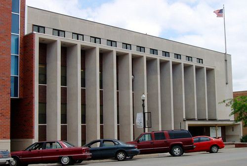
kansas courthouses lyoncounty uscckslyon emporia flinthills 1950s 1954 countycourthouses ks northamerica unitedstates us
Old Lyon County Courthouse (Emporia, Kansas)
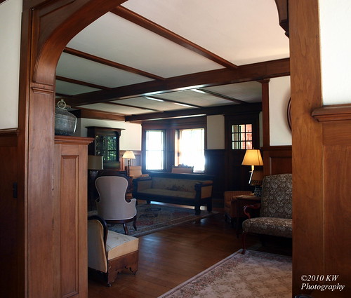
architecture livingroom emporia diningroom kansas nationalregister nationallandmark nris71000318 nhls71000318 williamallenwhitehouse williamallenwhitehousestatehistoricsite
Living Room
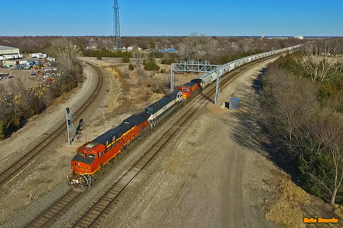
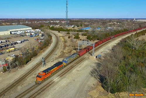
bnsf trains railroads
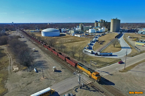
Aerial view of NR Junction
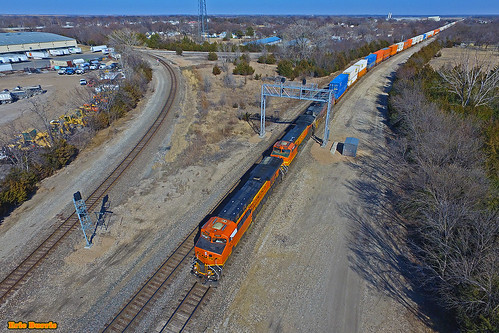
bnsf trains railroads
Aerial view of NR Junction
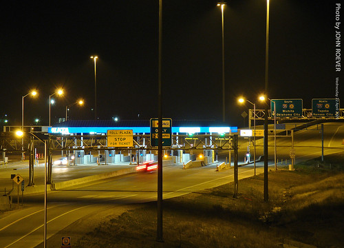
road trip morning vacation spring highway driving roadtrip april kansas interstate turnpike 2009 i35 flinthills beforesunrise tollroad tollplaza kta lyoncounty interstate35 kansasturnpike driverpic emporiatollplaza
KTA Toll Plaza in Emporia, 22 April 2009
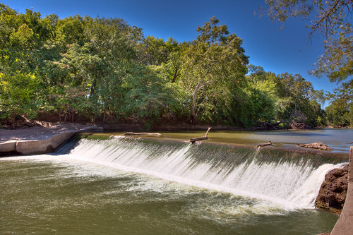
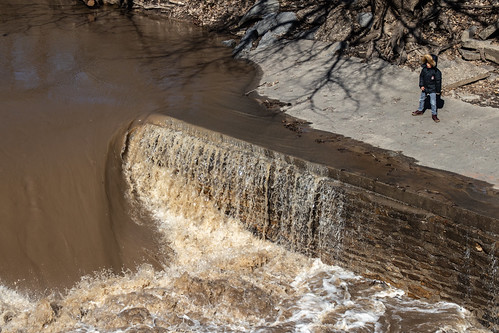
park trees nature water waterfall emporia kansas hdr tdpg
Waterfall at Emporia
bnsf trains railroads
Aerial view of NR Junction
bnsf trains railroads
Aerial view of NR Junction
valencia square squareformat iphoneography instagramapp uploaded:by=instagram
My view from bed #Saturday #plants #sunshine #springishere
bnsf trains railroads
Aerial view of NR Junction
raw
I-35 Prehistoric feeding in Winter
bnsf trains railroads
Aerial view of NR Junction
lyoncounty kansas usa october 2015 roadtrip october2015
Color after sunset along I-335, 22 Oct 2015
university state emporia kansas alphasigmaalpha
Aerial View
bnsf trains railroads
Aerial view of NR Junction
emporia kansas universities emporiastateuniversity lymancwooster woosterlake
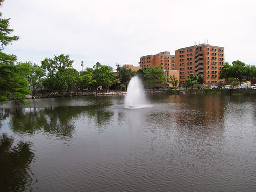
Wooster Lake
park lake chicago water duck illinois lilypad humbolt
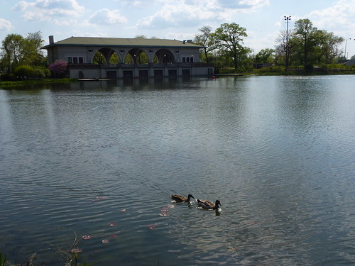
Humbolt Park
cottonwood dam mill waterfall concrete
Solden's Dam Falls
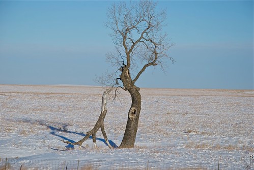
landscapes kansas
"Prehistoric" Feeding in Flint Hills
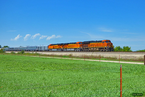
bnsf trains passengertrain passengerspecial ocs officersspecial railroads
BNSF Passenger Special!!!!
Sprague's Pipit
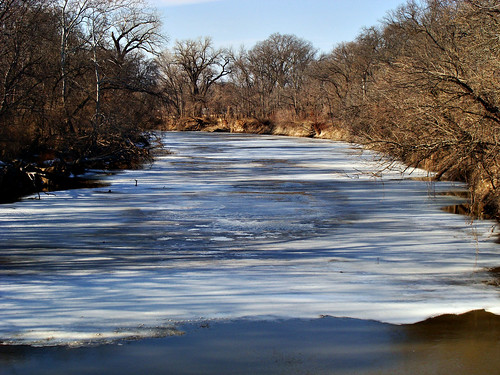
river emporia cottonwood kansas
The Cottonwood River
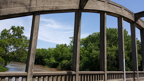
trees water clouds landscape interesting pretty scenic bluesky historic sunnyday cottonwoodriver emporiakansas rainbowarchbridge
Rainbow Arch Bridge
river emporia cottonwood kansas
The Cottonwood River
lighting fire burning flame bonfire
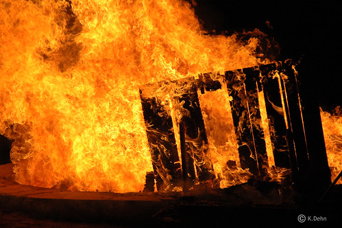
Burning Pallet
Morning fountain
uploaded:by=flickrmobile flickriosapp:filter=nofilter
Ghost trip fall 2012