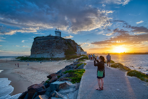
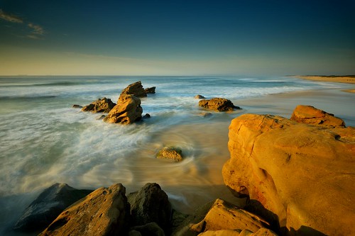
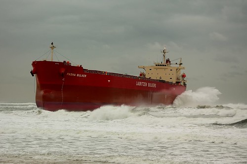
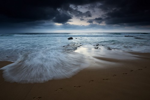
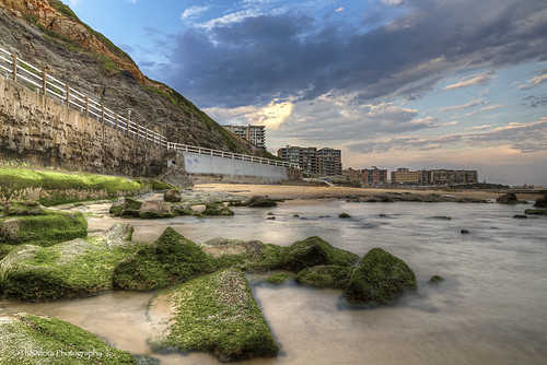
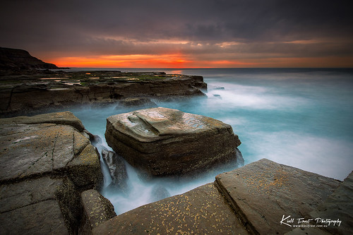
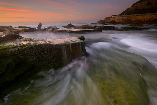
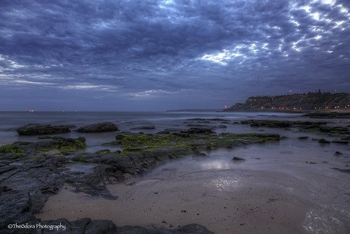
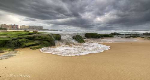
Elevation of The Junction NSW, Australia
Location: Australia > New South Wales > Newcastle City Council >
Longitude: 151.758889
Latitude: -32.940278
Elevation: 6m / 20feet
Barometric Pressure: 101KPa
Related Photos:
Topographic Map of The Junction NSW, Australia
Find elevation by address:

Places near The Junction NSW, Australia:
Empire Park
Merewether
2/25 Hall St
Bar Beach
Fearnley Dawes Athletic Centre
Newcastle Number 1 Sports Ground
3 Hill St
204/122 Parry St
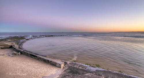
Merewether Ocean Bath
Newcastle West
Hamilton South
Marketown East Shopping Centre
21 Steel St
Cooks Hill
199 Darby St
77 Bull St
Learmonth Park
741 Hunter St
770 Hunter St
509 Hunter St
Recent Searches:
- Elevation of Corso Fratelli Cairoli, 35, Macerata MC, Italy
- Elevation of Tallevast Rd, Sarasota, FL, USA
- Elevation of 4th St E, Sonoma, CA, USA
- Elevation of Black Hollow Rd, Pennsdale, PA, USA
- Elevation of Oakland Ave, Williamsport, PA, USA
- Elevation of Pedrógão Grande, Portugal
- Elevation of Klee Dr, Martinsburg, WV, USA
- Elevation of Via Roma, Pieranica CR, Italy
- Elevation of Tavkvetili Mountain, Georgia
- Elevation of Hartfords Bluff Cir, Mt Pleasant, SC, USA
