Elevation of The Aursjøvegen, Sunndal, Norway
Location: Norway > Møre Og Romsdal > Sunndal >
Longitude: 8.5514831
Latitude: 62.6646856
Elevation: 40m / 131feet
Barometric Pressure: 101KPa
Elevation Map:
Satellite Map:
Related Photos:
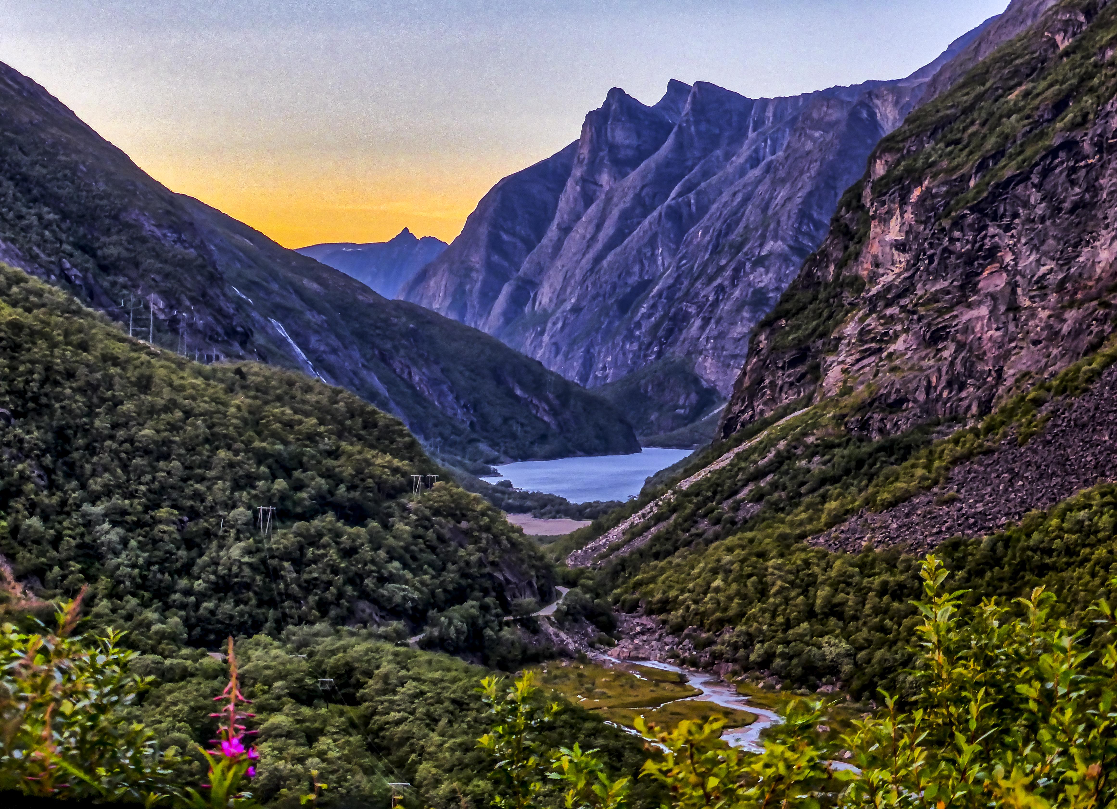
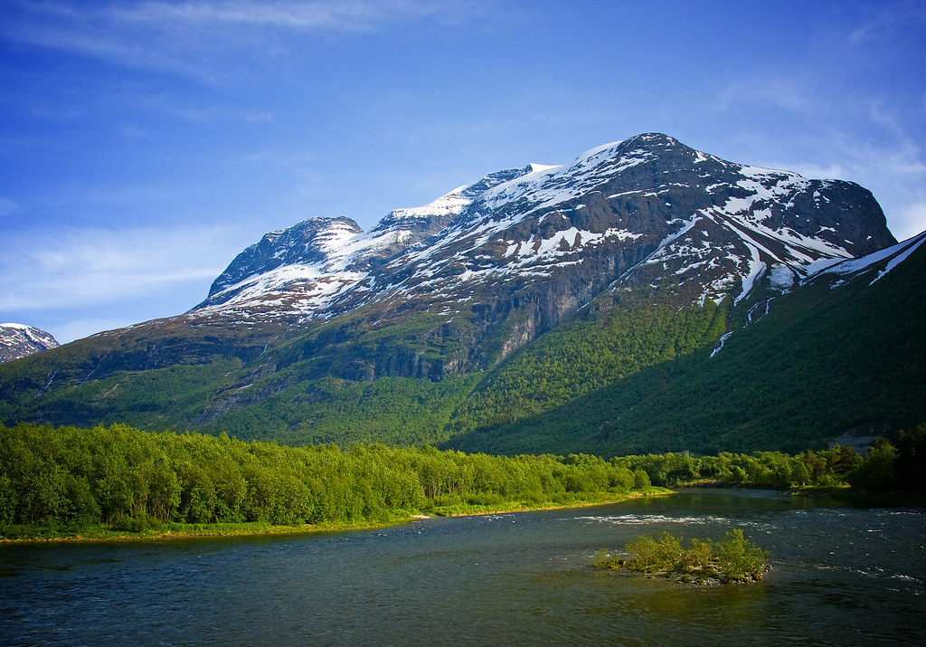
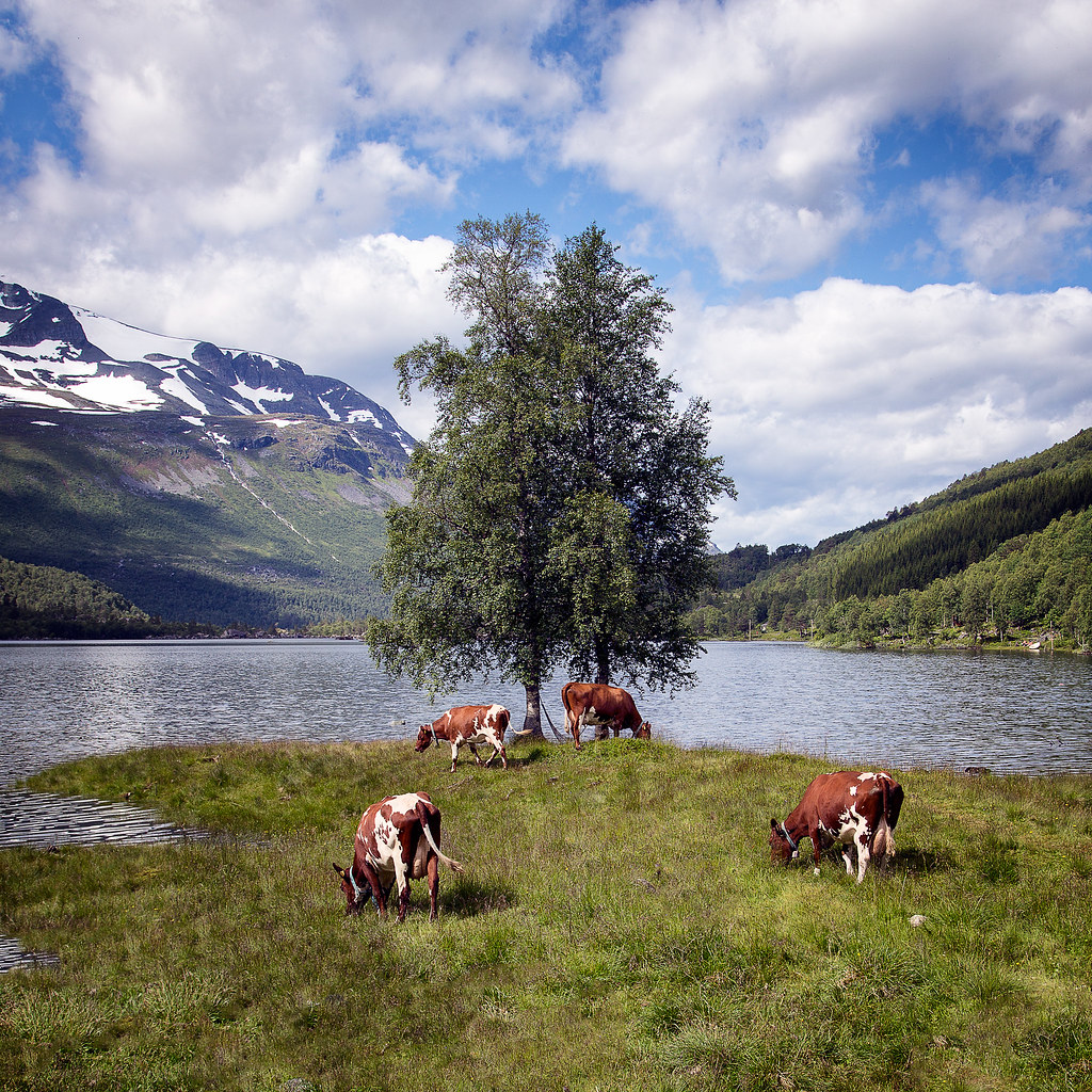
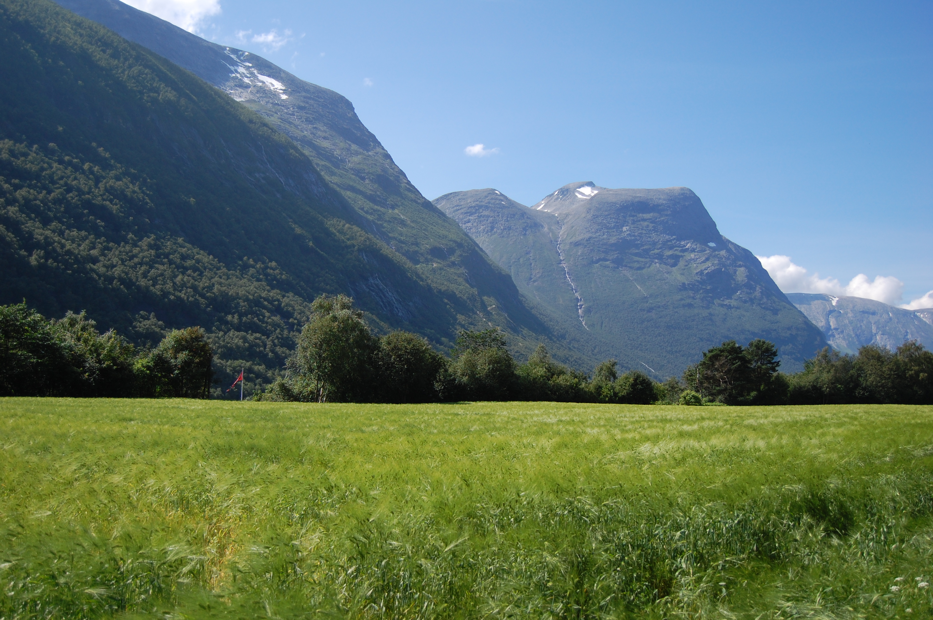
Litledalen valley
The Party
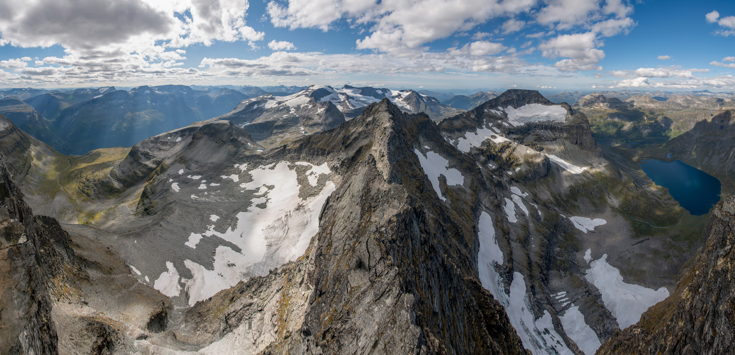
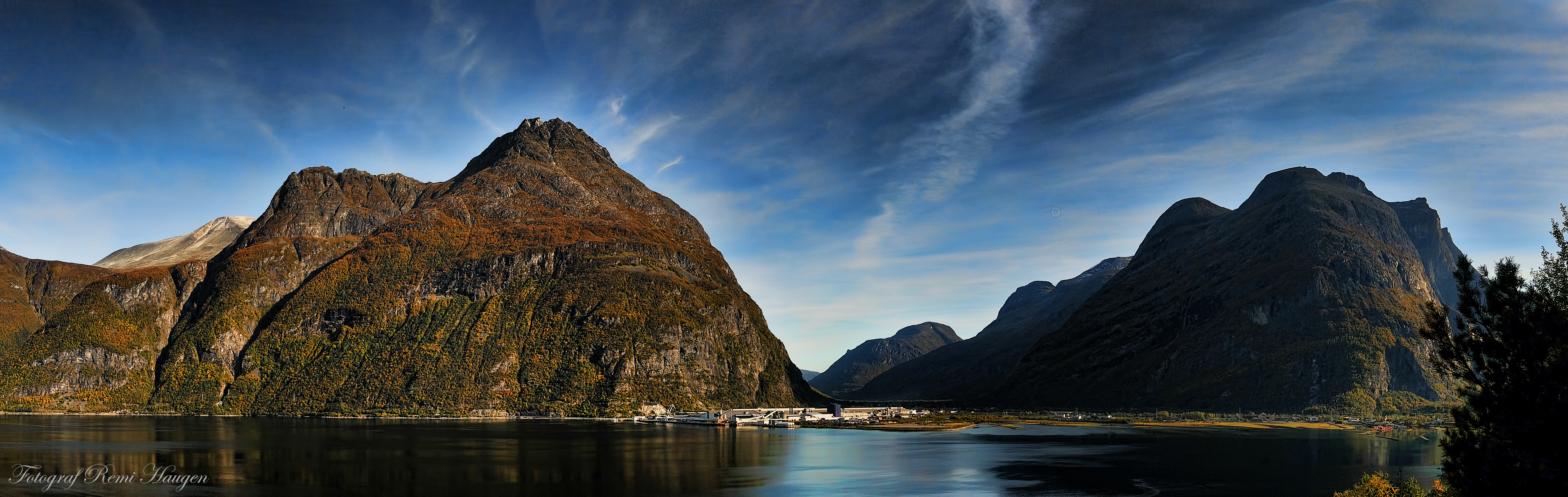
Store Trolla Panorama
The Party
Fjord BBQ
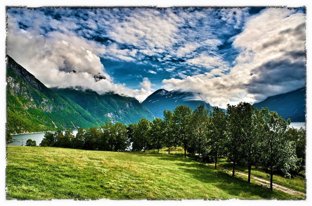
Panoramic view towards Innerdalen, for some, the most beautiful valley in Norway
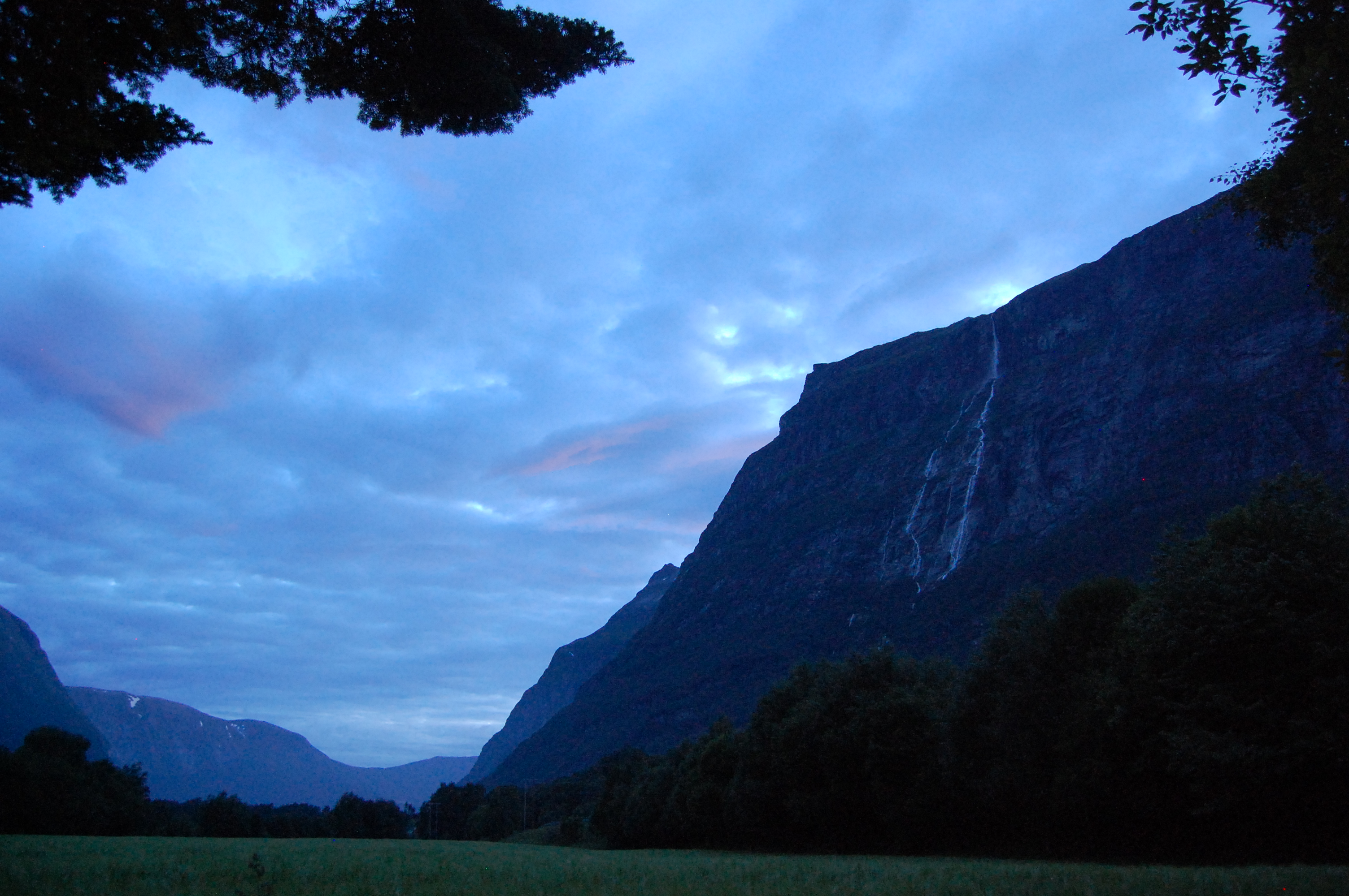
Kveld i Litldalen
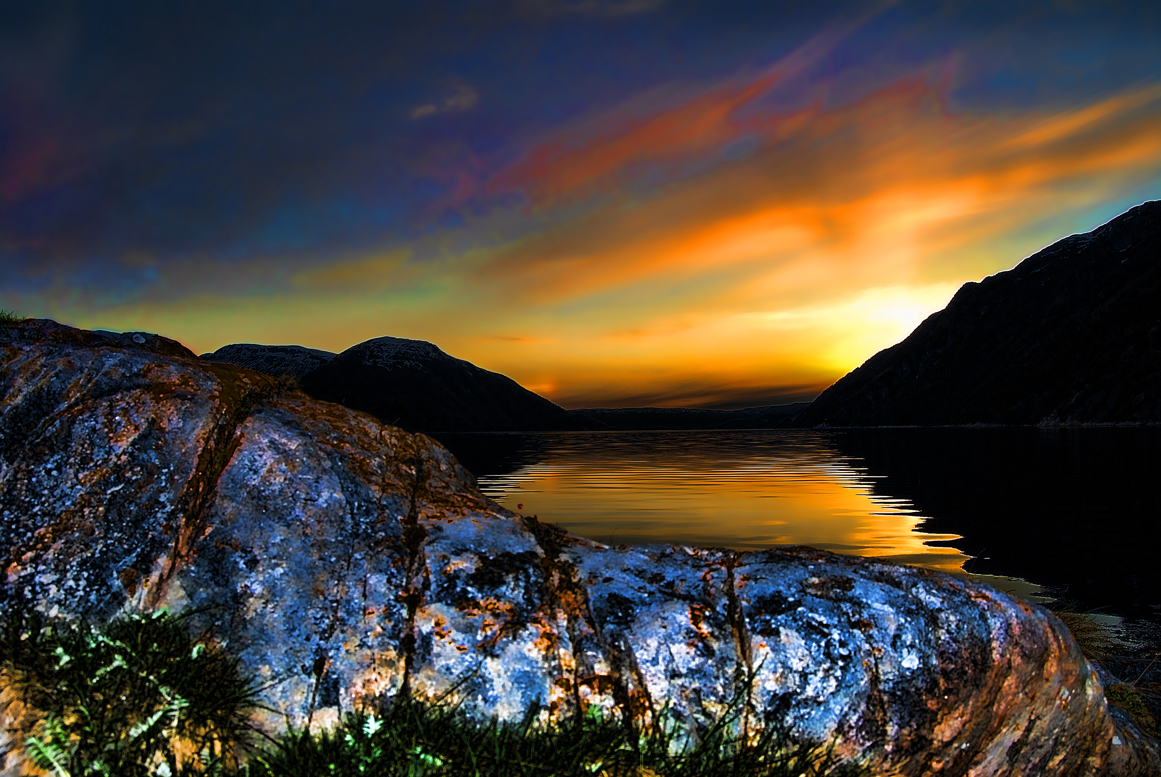
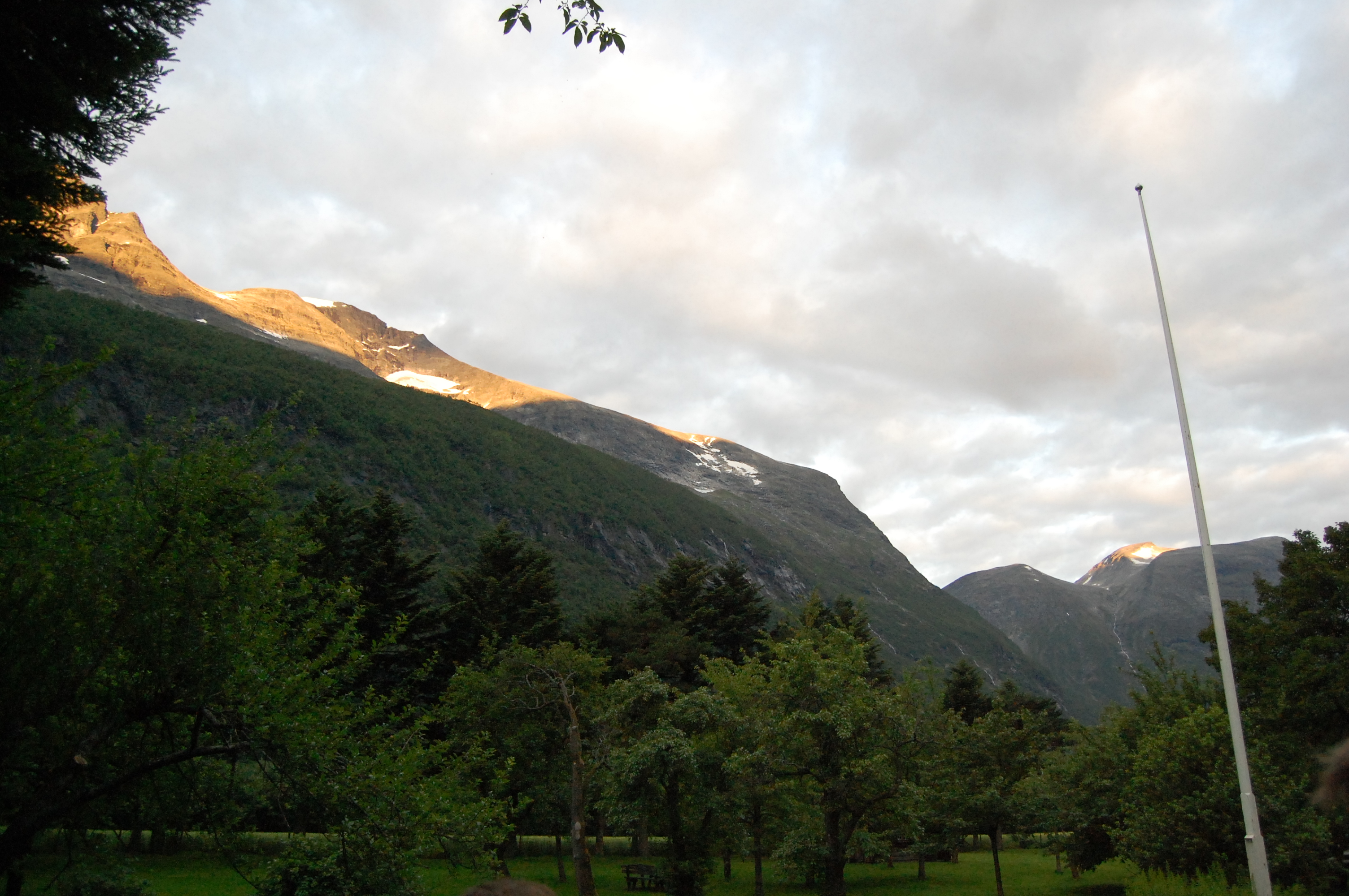
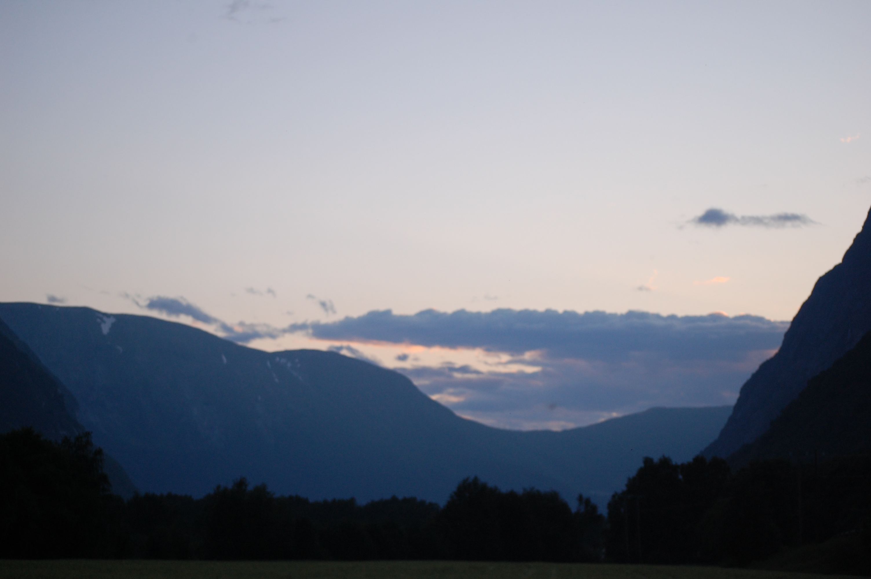
Sunset 2

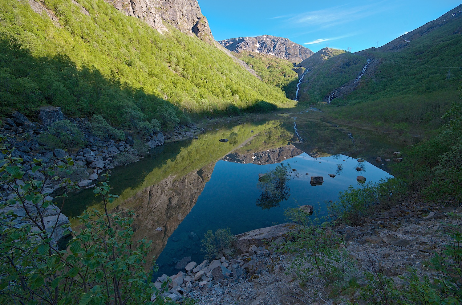
Sunrise Reflection
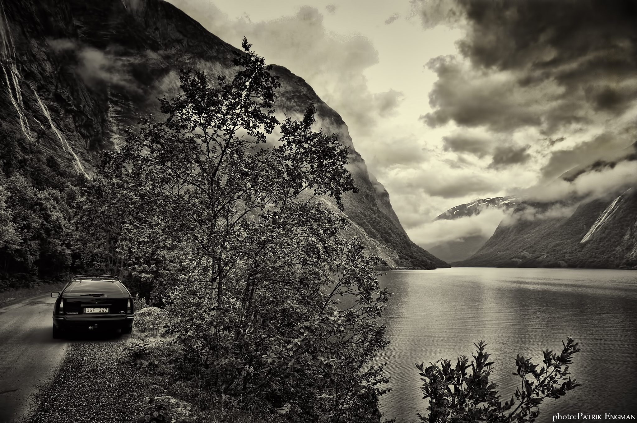
Norway B&W
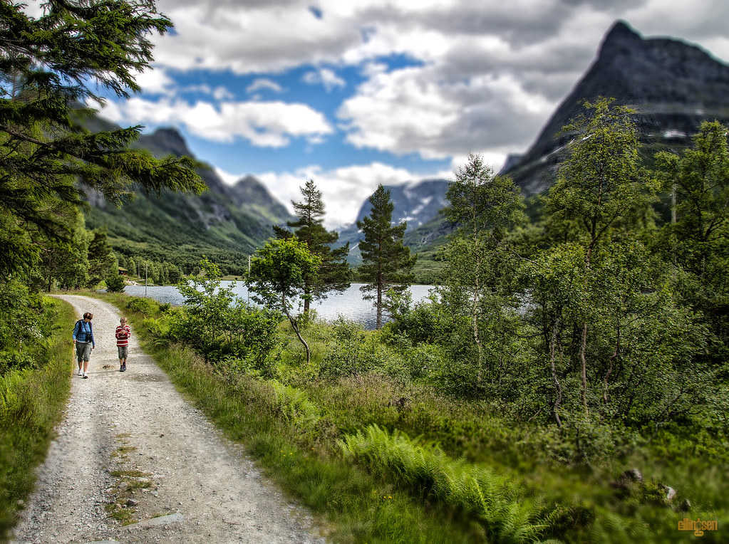
Road to Innerdalen
Autumn in Sunndal.
Fra / From Sunndalen #1
Renndølsetra

My Photo Stream-632

My Photo Stream-631

My Photo Stream-630
The Party
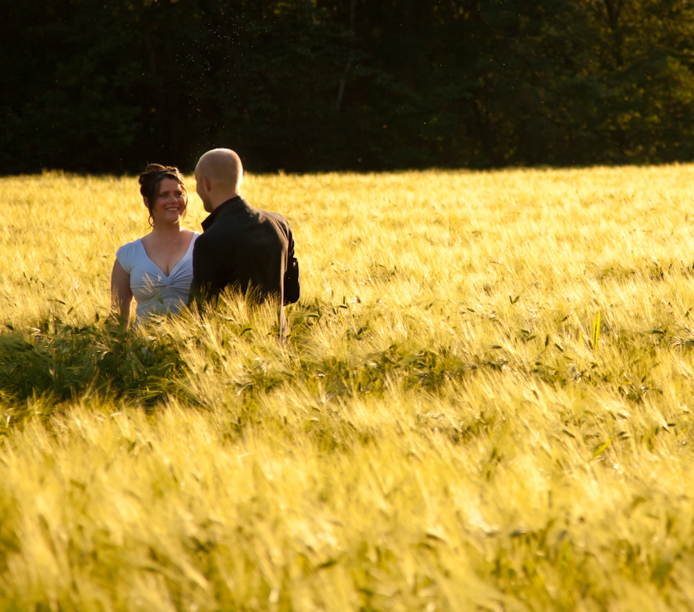
Just Married
The Convoy North
The Ceremony
Oppdølsstranda, Norway

My Photo Stream-670
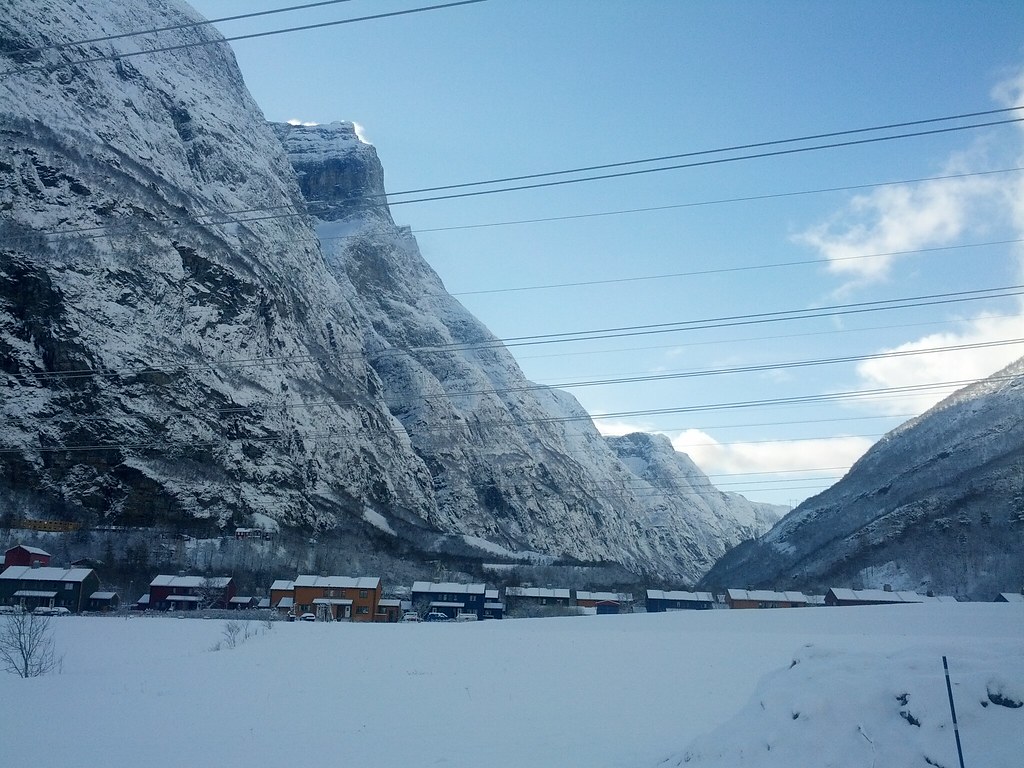
Sunndalsøra, Møre og Romsdal, Norway
The Party
Topographic Map of The Aursjøvegen, Sunndal, Norway
Find elevation by address:

Places near The Aursjøvegen, Sunndal, Norway:
Sunndalsøra
Ålvundeidet
Sunndal
Innerdalen
Aursjøen
Surnadal
Fv 10, Surnadal, Norway
Lesja
Trollheimen
Dovrefjell–sunndalsfjella National Park
Vinjeøra
E39, Vinjeøra, Norway
Hemne
Dombås
Fv 10, Dovre, Norway
Viewpoint Snøhetta
Oppdal, Norway
Hjerkinn
Oppdal Ski Center
Stenan 50
Recent Searches:
- Elevation of Corso Fratelli Cairoli, 35, Macerata MC, Italy
- Elevation of Tallevast Rd, Sarasota, FL, USA
- Elevation of 4th St E, Sonoma, CA, USA
- Elevation of Black Hollow Rd, Pennsdale, PA, USA
- Elevation of Oakland Ave, Williamsport, PA, USA
- Elevation of Pedrógão Grande, Portugal
- Elevation of Klee Dr, Martinsburg, WV, USA
- Elevation of Via Roma, Pieranica CR, Italy
- Elevation of Tavkvetili Mountain, Georgia
- Elevation of Hartfords Bluff Cir, Mt Pleasant, SC, USA