Elevation of Thati Dagar, Uttarakhand, India
Location: India > Uttarakhand > Tehri Garhwal >
Longitude: 78.7008502
Latitude: 30.3513932
Elevation: 1424m / 4672feet
Barometric Pressure: 85KPa
Elevation Map:
Satellite Map:
Related Photos:
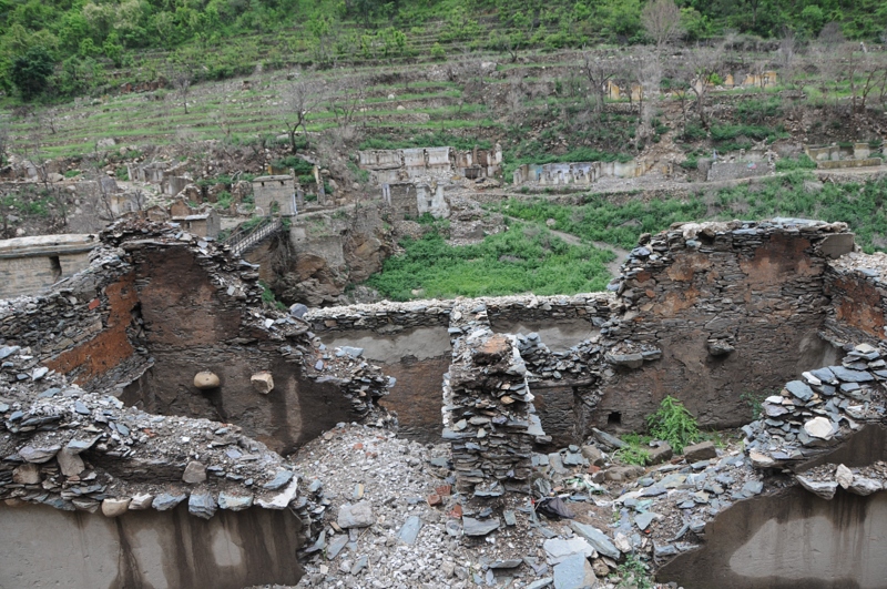
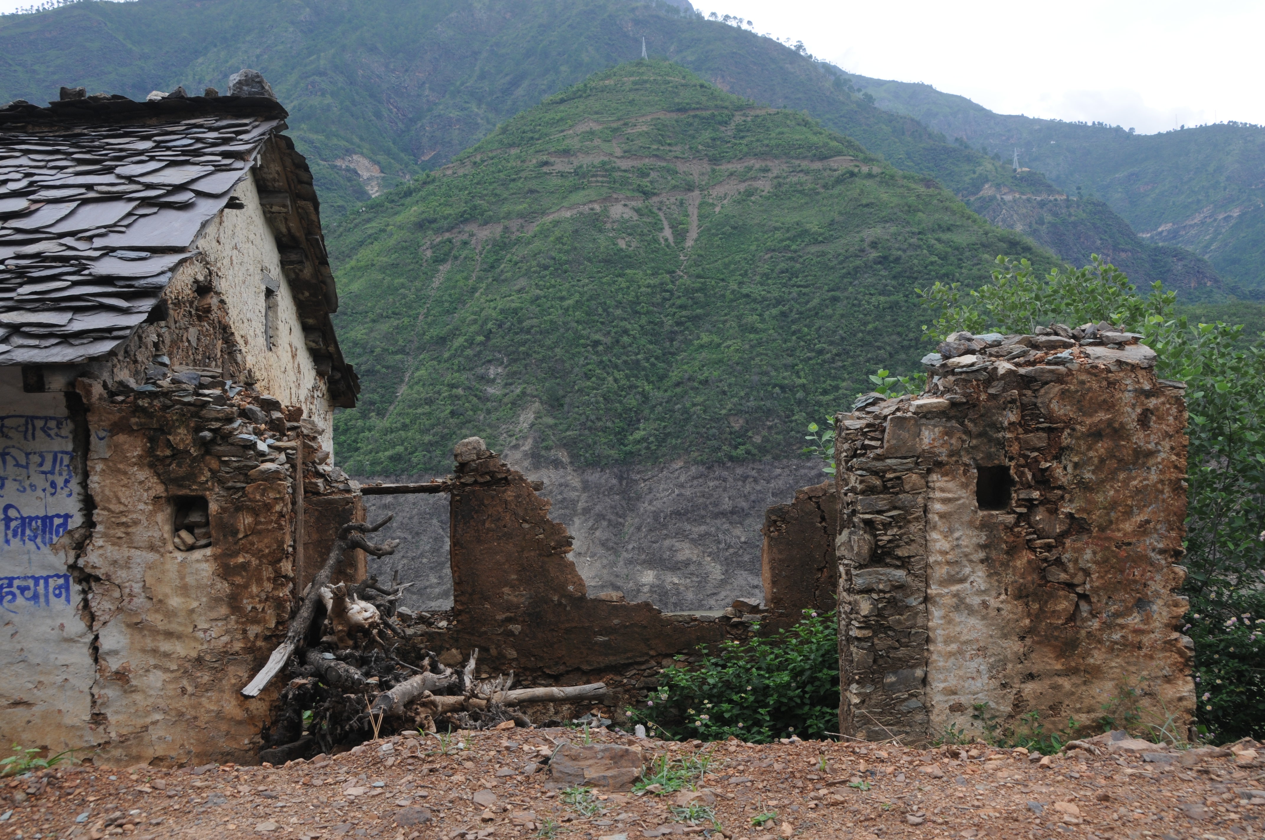
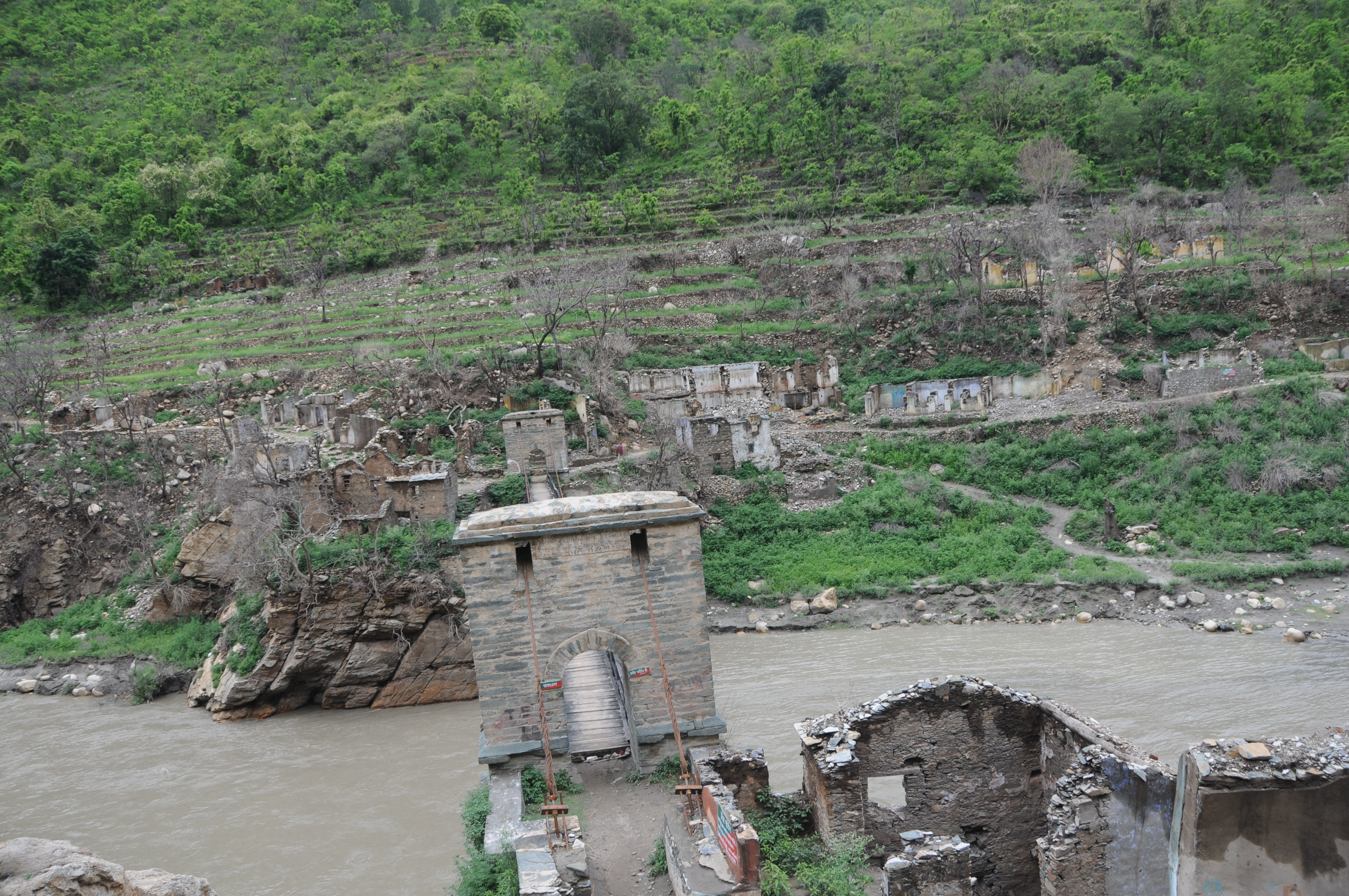
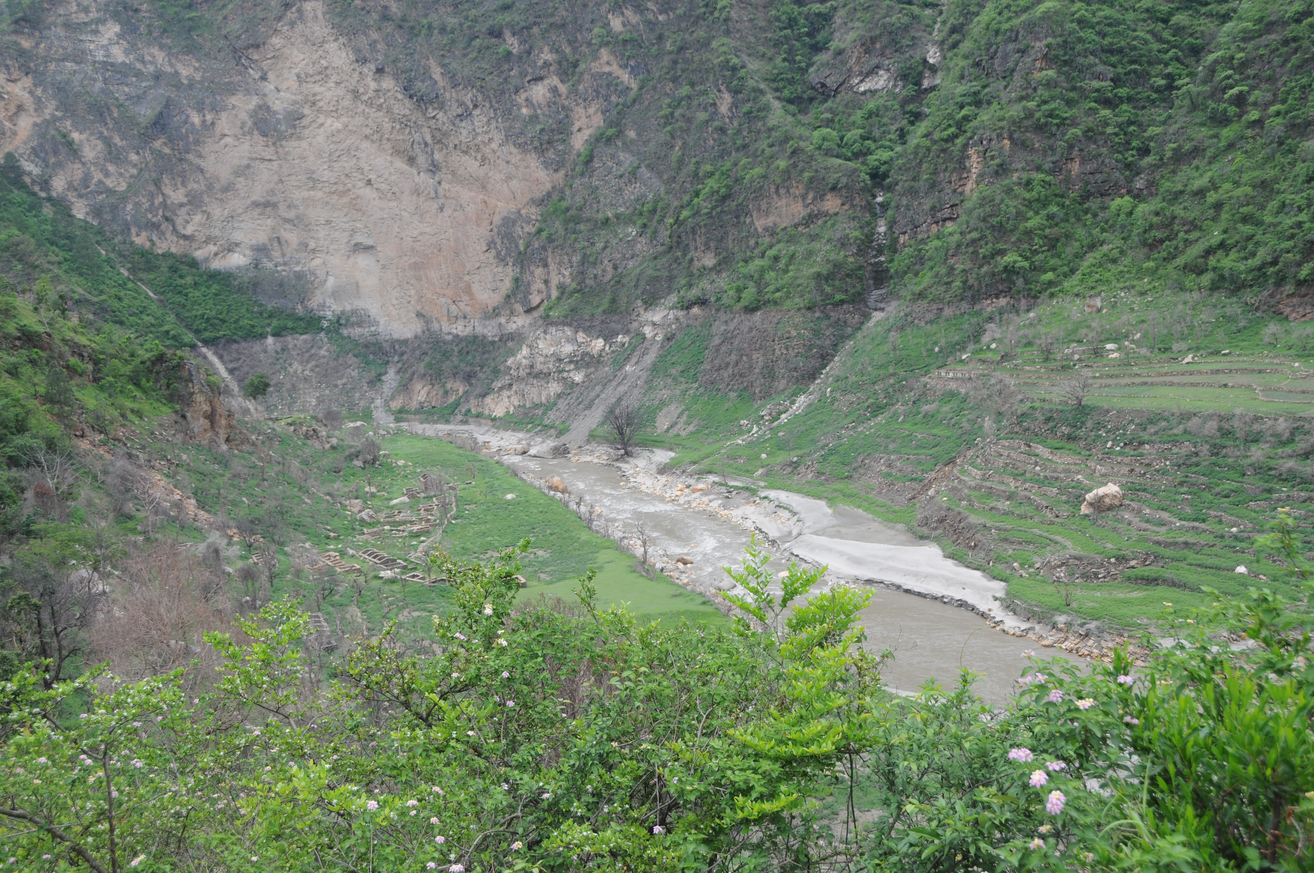
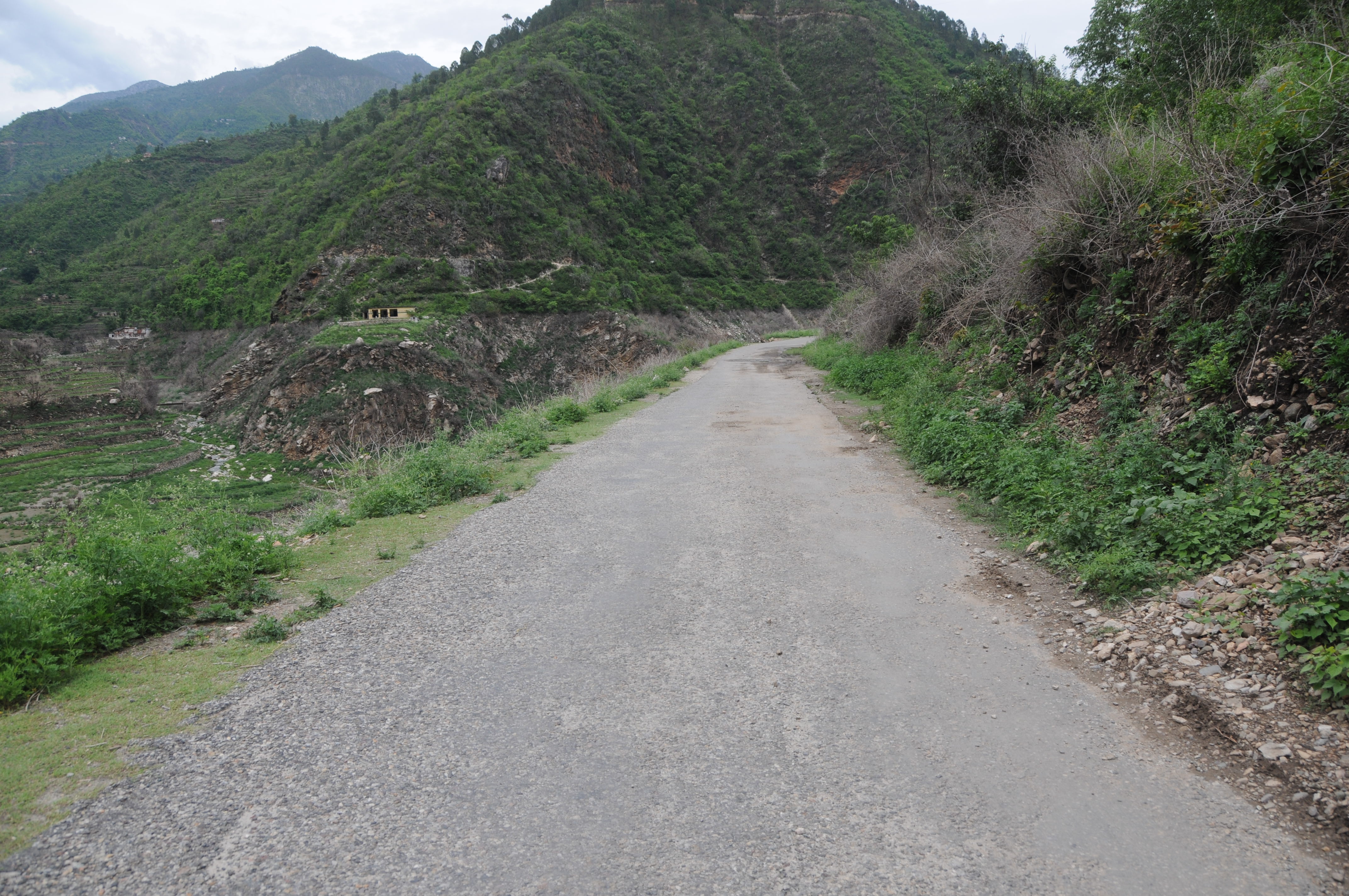
Ghotiwali, Uttarakhand

Ghotiwali, Uttarakhand
CSP_2938.JPG
CSP_2929.JPG
Ghotiwali, Uttarakhand

CSP_2946.JPG

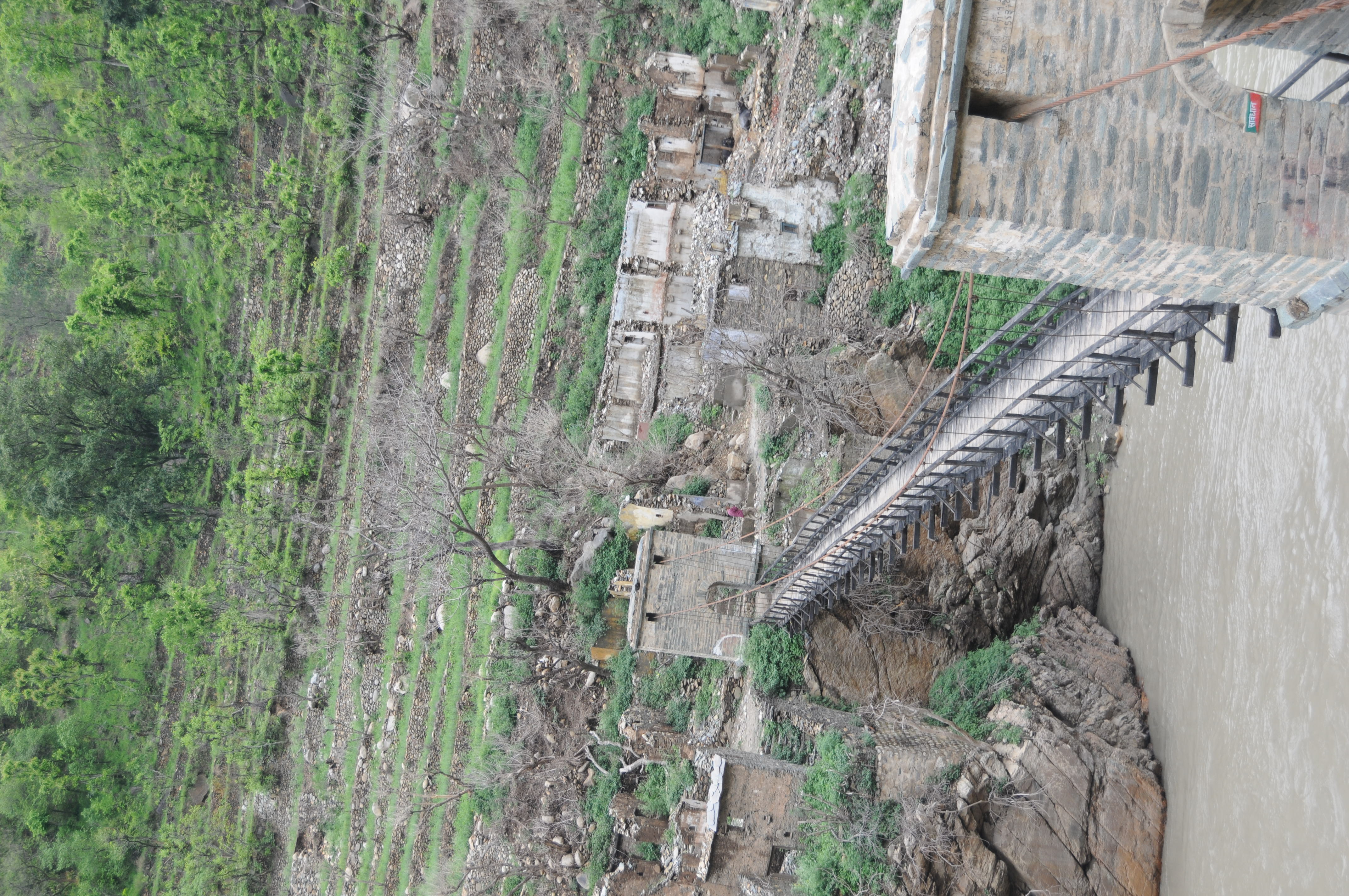
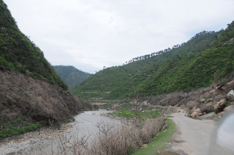
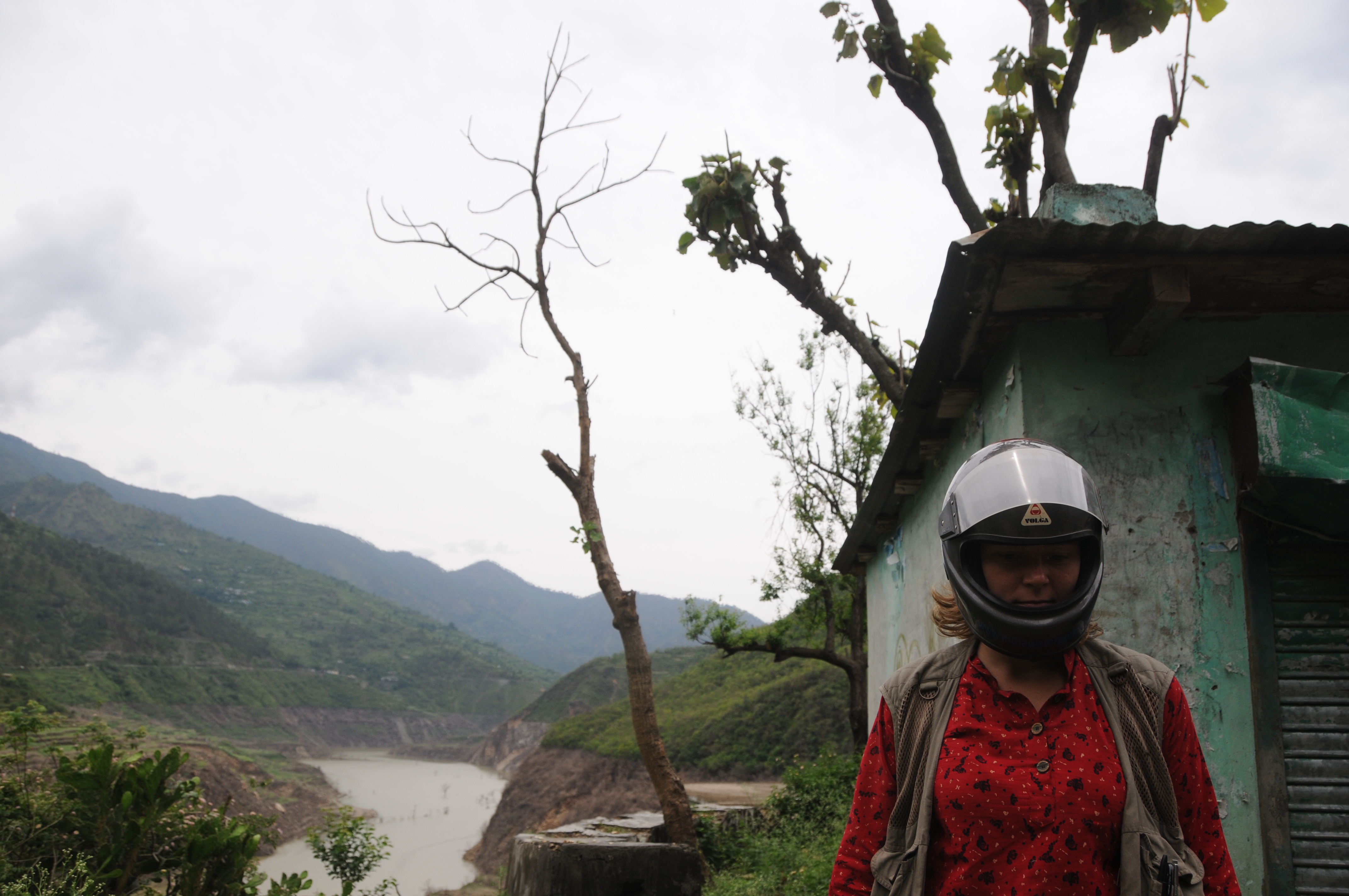
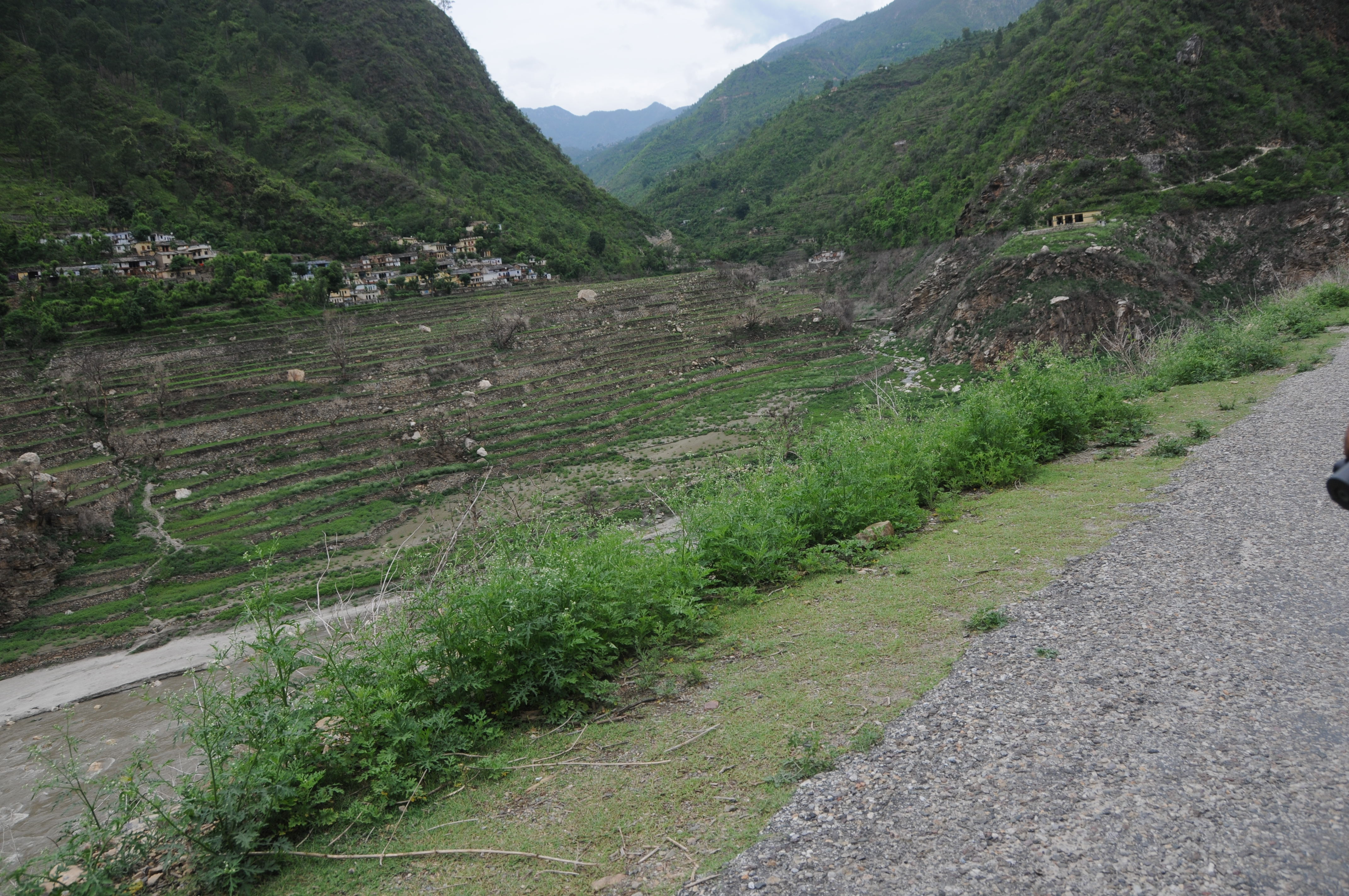
Chahgadoliya, UttaraKhand
CSP_2905.JPG
CSP_2912.JPG
CSP_2904.JPG
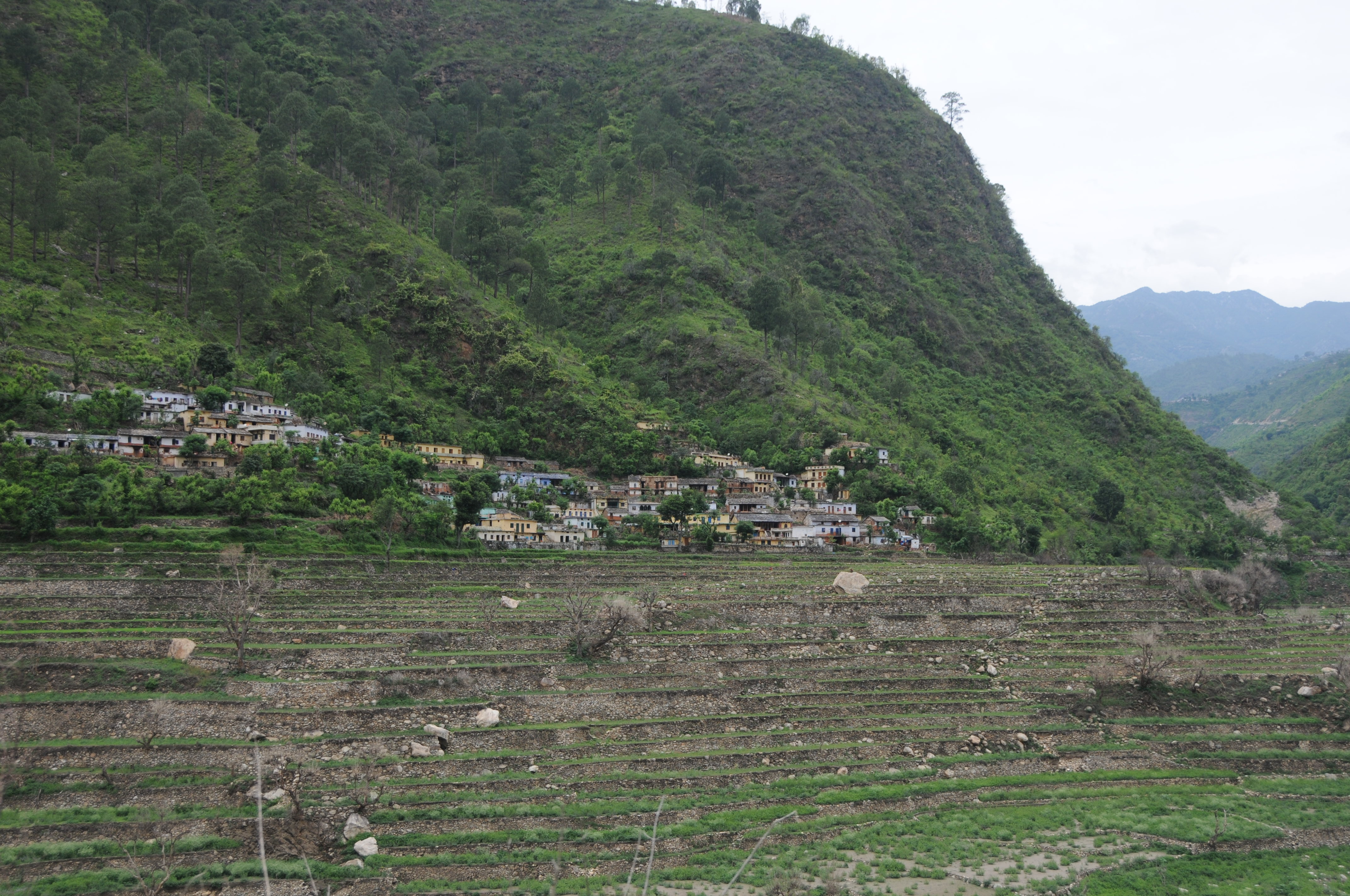
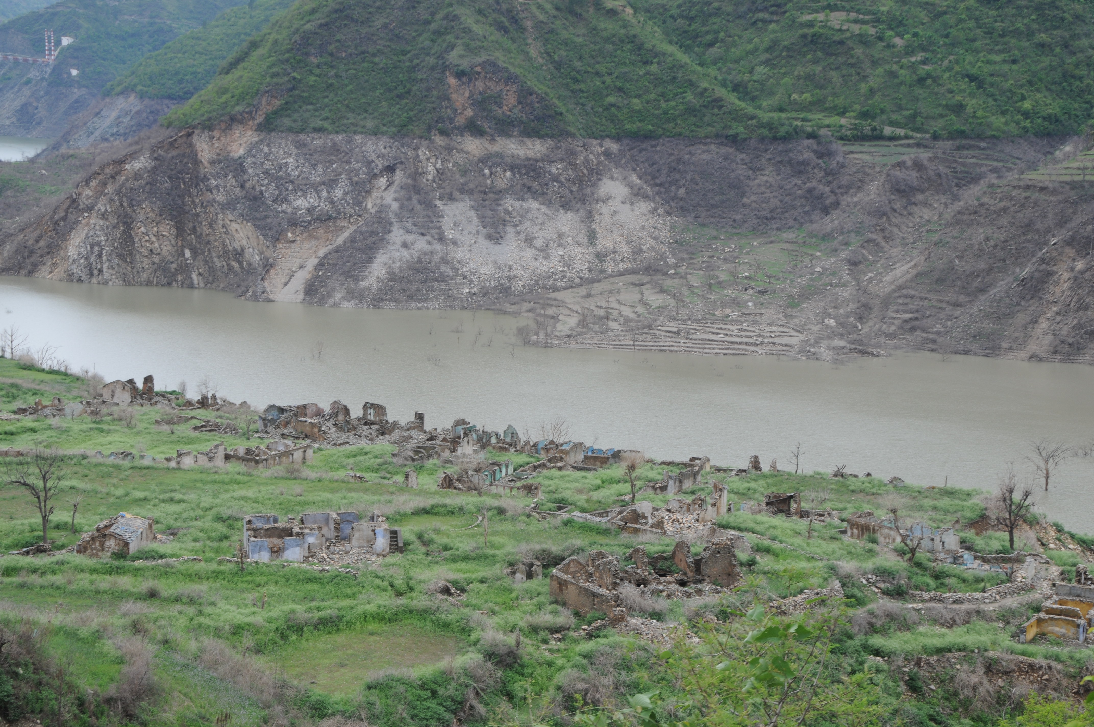
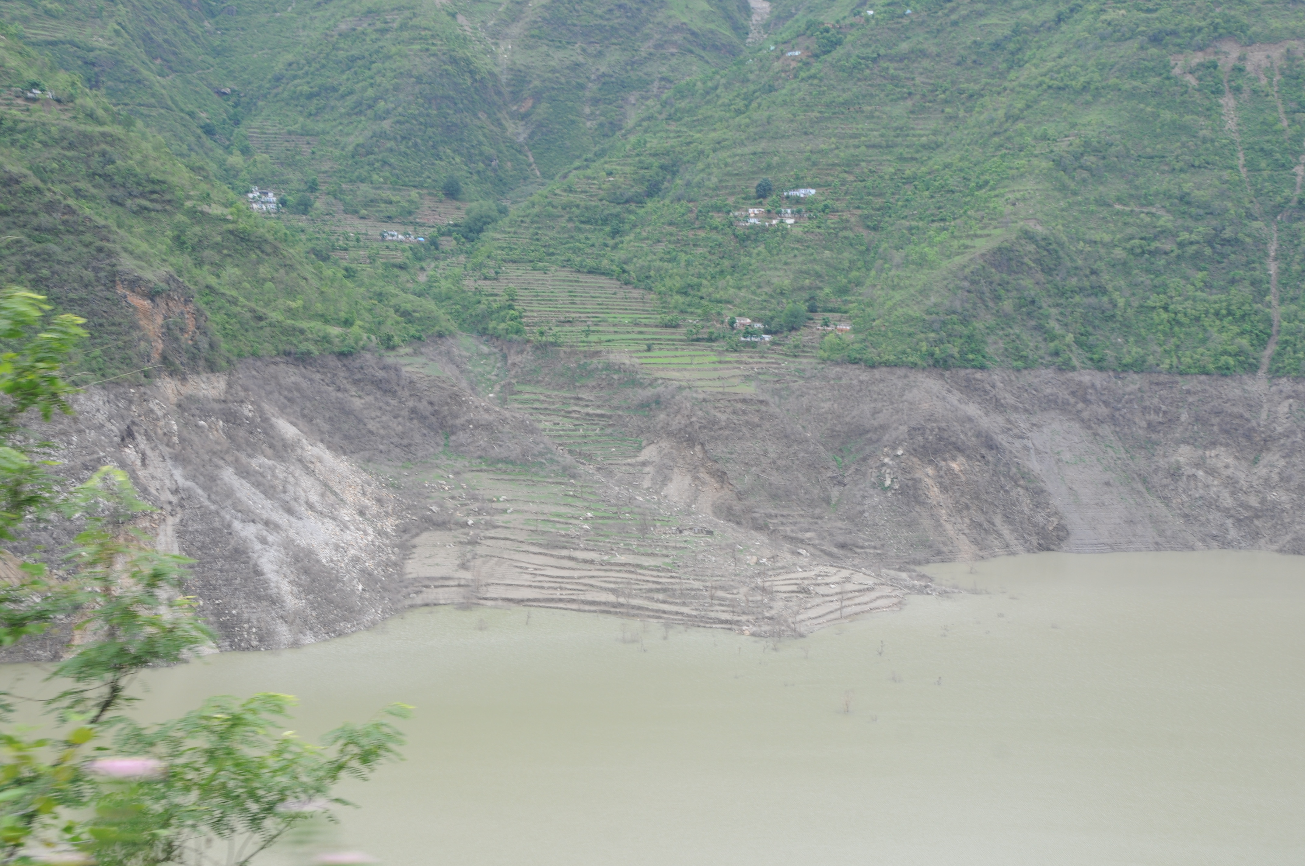
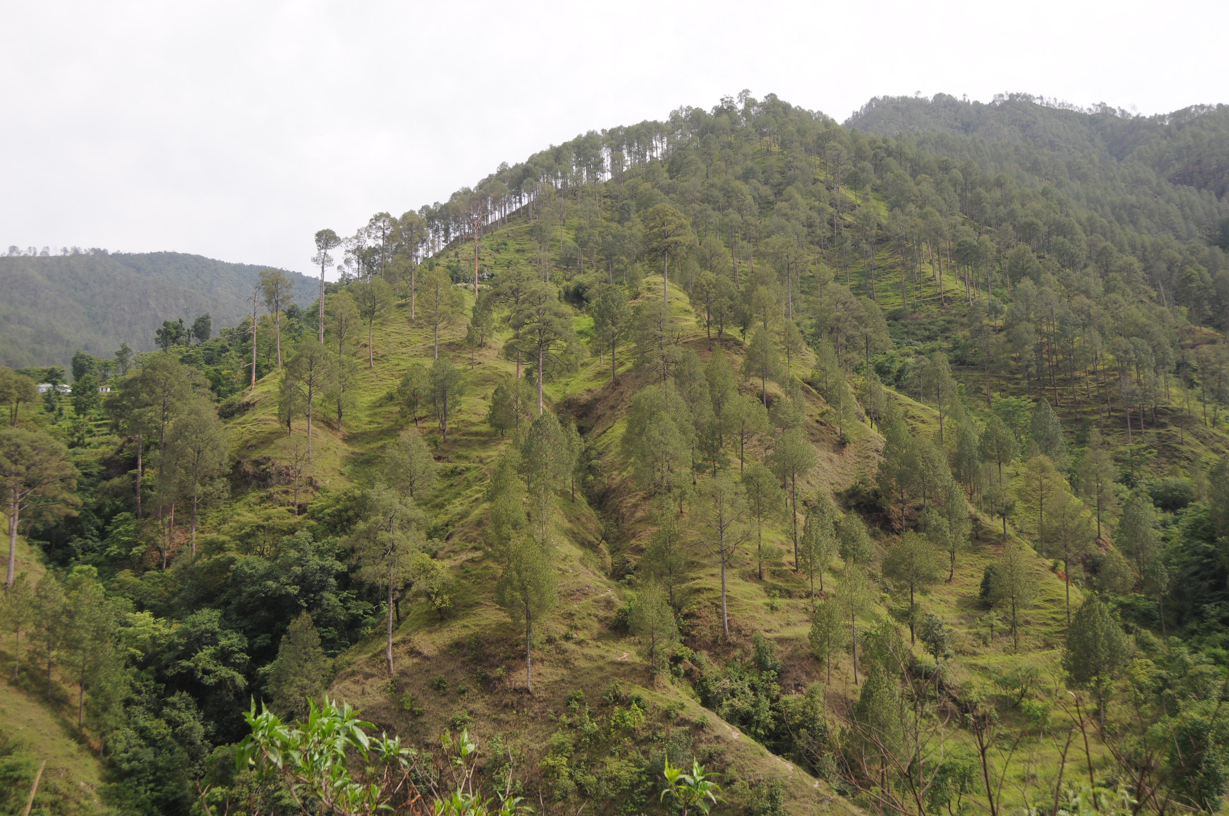
Khand, UttaraKhand
CSP_2939.JPG
Ghotiwali, Uttarakhand
Molno Maya Paukhal, UttaraKhand

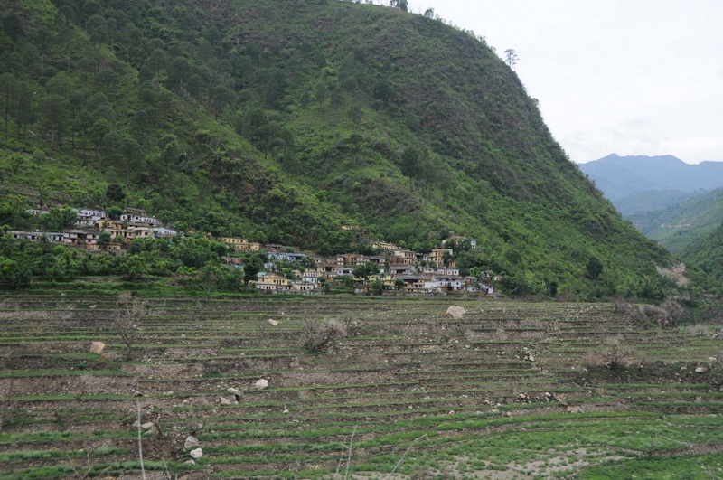
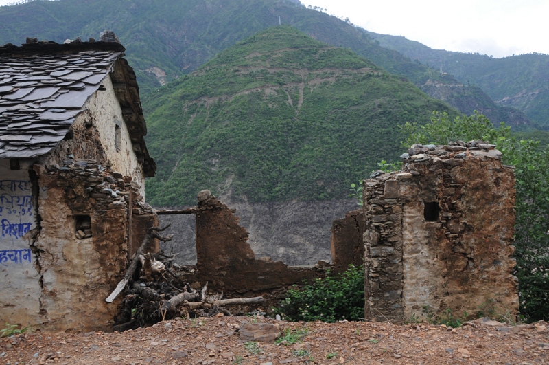
Bahera, Uttarakhand

CSP_2940.JPG
CSP_2914.JPG
CSP_2924.JPG
CSP_2921.JPG
CSP_2909.JPG

CSP_2943.JPG
Padagali May Ghotiwali, UttaraKhand

CSP_2925.JPG
CSP_2928.JPG
CSP_2945.JPG

CSP_2933.JPG
CSP_2927.JPG
Chahgadoliya, UttaraKhand

Khand, UttaraKhand
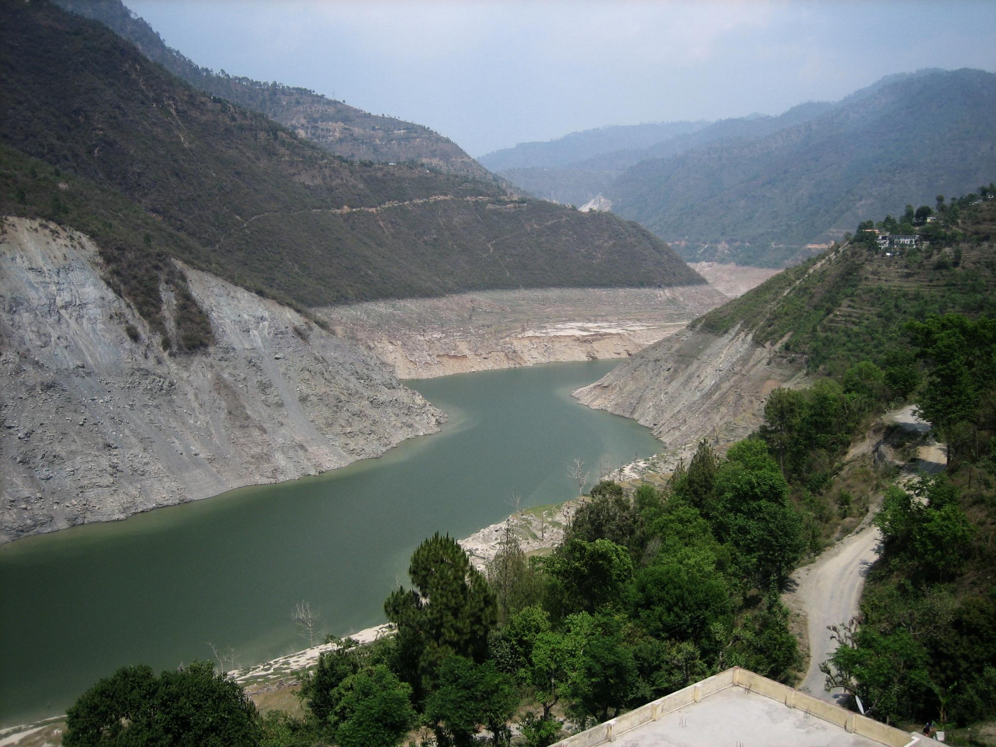
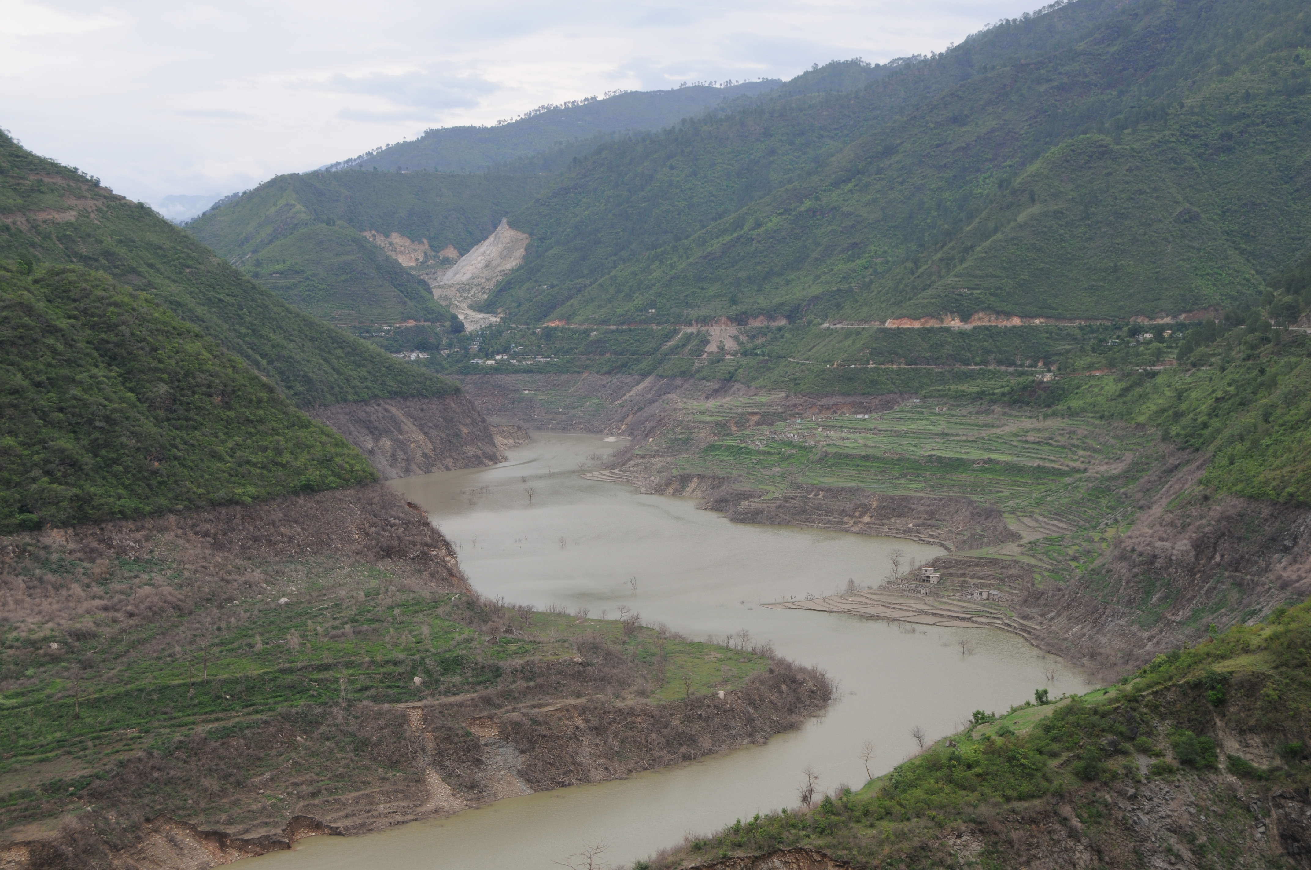
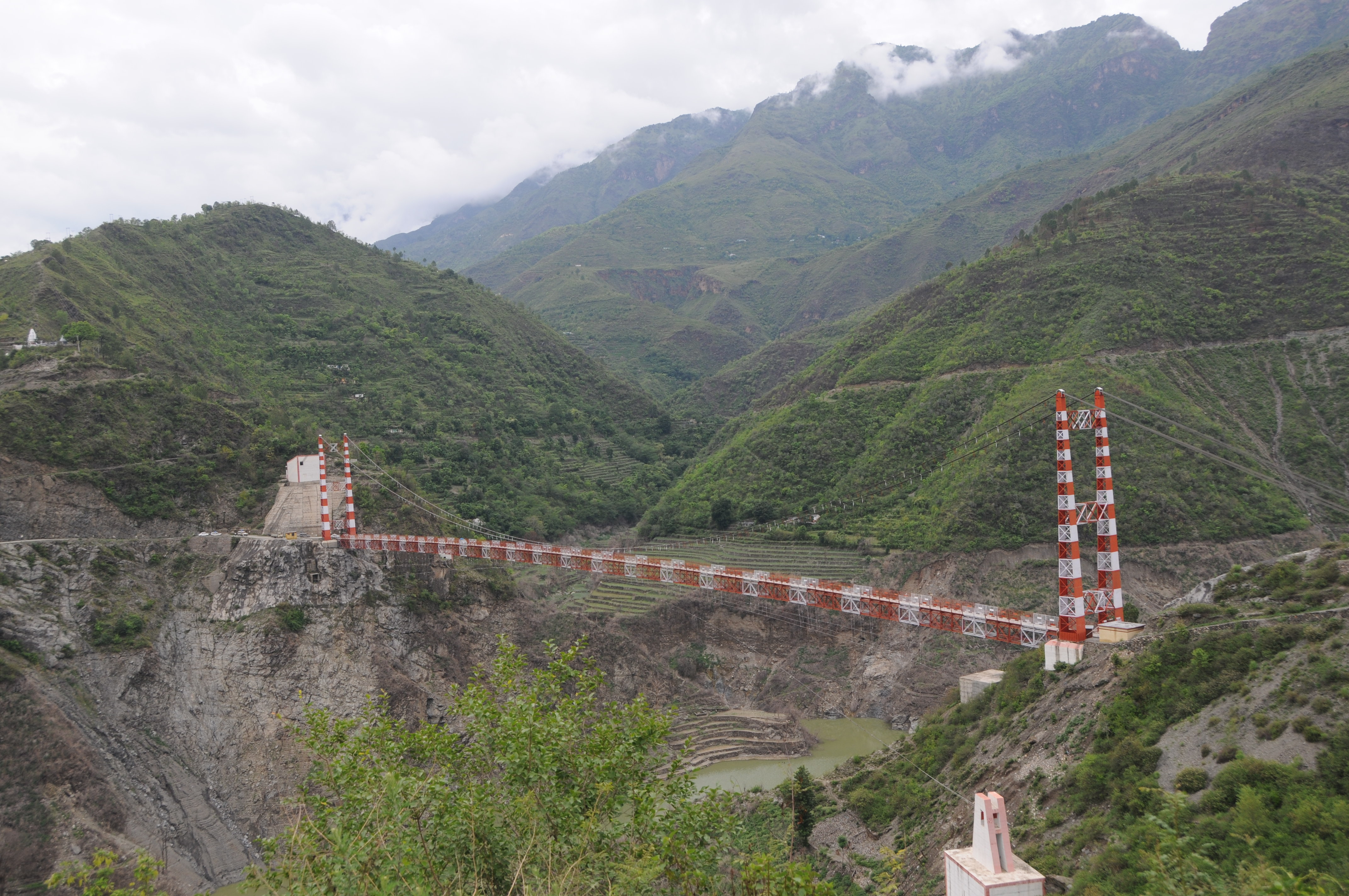
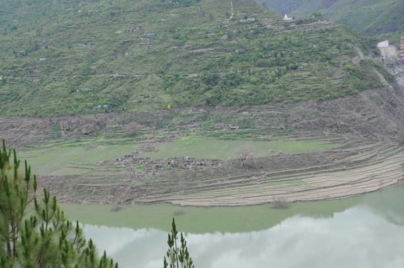
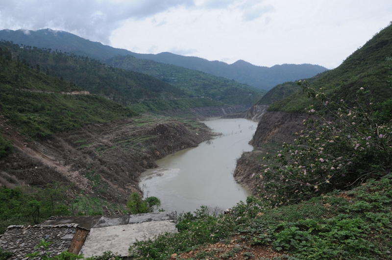
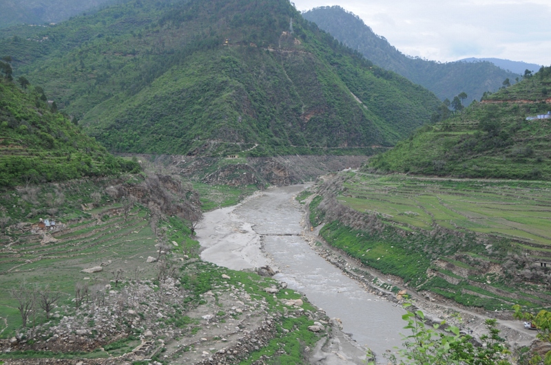
Bhilangana river near Tehri

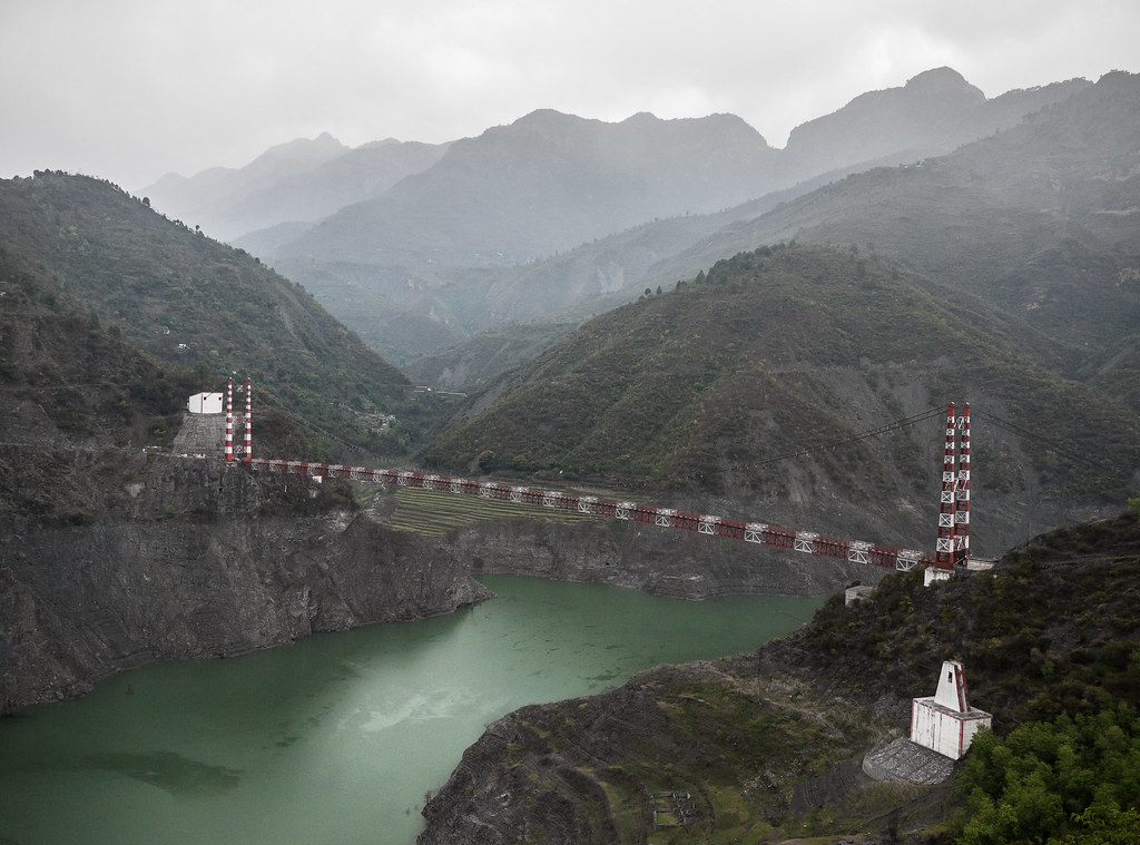
IND11-5957-20111017.jpg
136_Ganga River_April 13, 2012
Topographic Map of Thati Dagar, Uttarakhand, India
Find elevation by address:

Places near Thati Dagar, Uttarakhand, India:
Chandrabadni Mata Temple
Jhanau
Chandrabadani Parking
Janasu
Phalasi
Anjanisain
Musankiri
Bhilangna River
Tehri Garhwal
Hindolakhal
Palethi
Jakhnidhar
Tipri
Ranakot
Sakanyani
Ranakot Market
Tehri Dam
Bhigun
Devaprayag
Chamoli
Recent Searches:
- Elevation of Corso Fratelli Cairoli, 35, Macerata MC, Italy
- Elevation of Tallevast Rd, Sarasota, FL, USA
- Elevation of 4th St E, Sonoma, CA, USA
- Elevation of Black Hollow Rd, Pennsdale, PA, USA
- Elevation of Oakland Ave, Williamsport, PA, USA
- Elevation of Pedrógão Grande, Portugal
- Elevation of Klee Dr, Martinsburg, WV, USA
- Elevation of Via Roma, Pieranica CR, Italy
- Elevation of Tavkvetili Mountain, Georgia
- Elevation of Hartfords Bluff Cir, Mt Pleasant, SC, USA