Elevation of Thanlyin, Myanmar (Burma)
Location: Myanmar (burma) > Yangon Region > Yangon (south) >
Longitude: 96.3438785
Latitude: 16.7910652
Elevation: 5m / 16feet
Barometric Pressure: 101KPa
Elevation Map:
Satellite Map:
Related Photos:
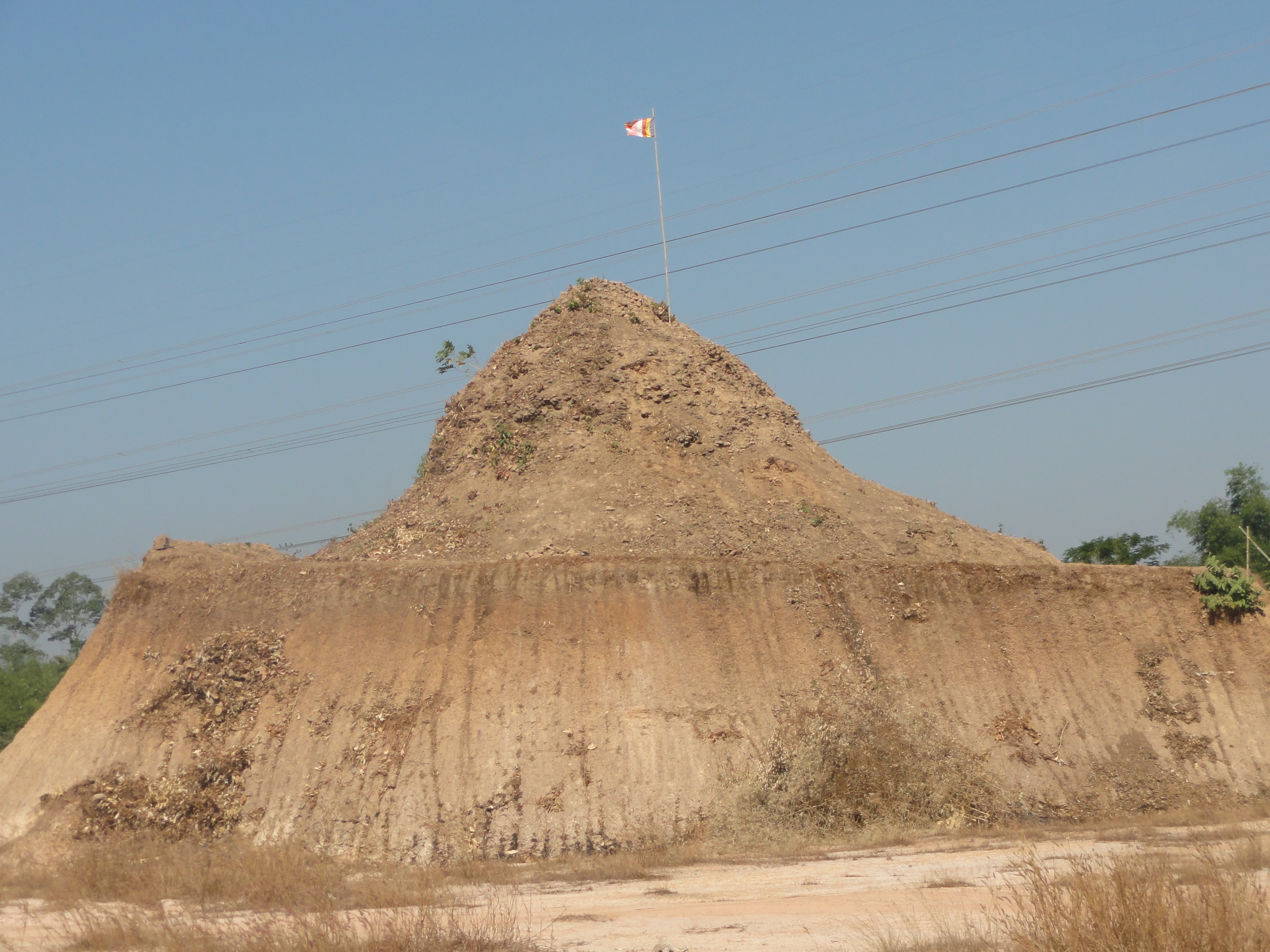
DSC06639

DSCF3920

DPP_01201247

Low Sun

Flight to Yangon, Myanmar

Padauk flowers
Topographic Map of Thanlyin, Myanmar (Burma)
Find elevation by address:

Places in Thanlyin, Myanmar (Burma):
Places near Thanlyin, Myanmar (Burma):
Thanlyin
South Dagon Township
Thilawa Industrial Zone
Thingangyun Township
Botahtaung
Yangon
Kyauk Myaung Street
Tamwe Township
Pazundaung
Baho Street
South Okkalapa Township
South Okkalapa
Kan Yeik Tha Road
42 Bo Aung Kyaw St
42 Bo Aung Kyaw St
Kyauktada Township
Bahan Township
Har Mit Tic Bus Stop
Sedona
Kabar Aye Pagoda Road
Recent Searches:
- Elevation of Corso Fratelli Cairoli, 35, Macerata MC, Italy
- Elevation of Tallevast Rd, Sarasota, FL, USA
- Elevation of 4th St E, Sonoma, CA, USA
- Elevation of Black Hollow Rd, Pennsdale, PA, USA
- Elevation of Oakland Ave, Williamsport, PA, USA
- Elevation of Pedrógão Grande, Portugal
- Elevation of Klee Dr, Martinsburg, WV, USA
- Elevation of Via Roma, Pieranica CR, Italy
- Elevation of Tavkvetili Mountain, Georgia
- Elevation of Hartfords Bluff Cir, Mt Pleasant, SC, USA