Elevation of Thanbyuzayat MMR, Myanmar (Burma)
Location: Myanmar (burma) > Mon State > Mawlamyine >
Longitude: 97.7525352
Latitude: 15.9596683
Elevation: 48m / 157feet
Barometric Pressure: 101KPa
Elevation Map:
Satellite Map:
Related Photos:
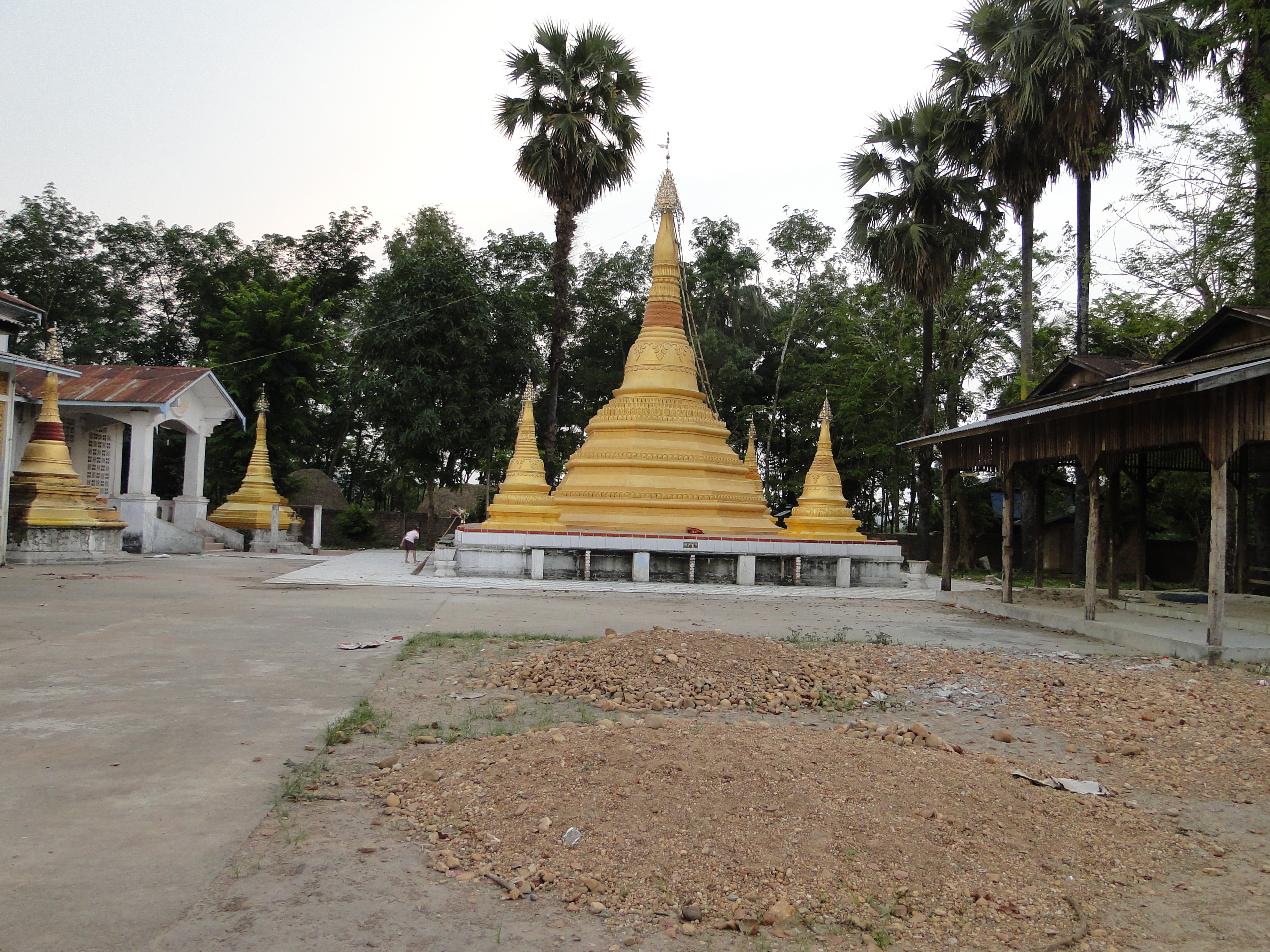
Kyaik Dorh Kwan, Hnipadaw Village, Mudon, Mon State, Burma
Topographic Map of Thanbyuzayat MMR, Myanmar (Burma)
Find elevation by address:

Places near Thanbyuzayat MMR, Myanmar (Burma):
Mawlamyine
Beps-3(tagondaing)
Kale-tagundaing Station Hospital
Kale
Mudon
Burma Railways
Kyainseikgyi
Pa-auk Forest Meditation Center
Mawlamyine
Child Ward Unit 2, American General Hospital.
Kawkareik
Zar Ta Pyin
Paung
Kawkareik
Ein Du
Zin Kyaik
Zinkyaik Pagoda
Asian Highway 1
Recent Searches:
- Elevation of Corso Fratelli Cairoli, 35, Macerata MC, Italy
- Elevation of Tallevast Rd, Sarasota, FL, USA
- Elevation of 4th St E, Sonoma, CA, USA
- Elevation of Black Hollow Rd, Pennsdale, PA, USA
- Elevation of Oakland Ave, Williamsport, PA, USA
- Elevation of Pedrógão Grande, Portugal
- Elevation of Klee Dr, Martinsburg, WV, USA
- Elevation of Via Roma, Pieranica CR, Italy
- Elevation of Tavkvetili Mountain, Georgia
- Elevation of Hartfords Bluff Cir, Mt Pleasant, SC, USA