Elevation map of Thaba-Tseka, Lesotho
Location: Lesotho >
Longitude: 28.5901895
Latitude: -29.515752
Elevation: 2206m / 7238feet
Barometric Pressure: 77KPa
Elevation Map:
Satellite Map:
Related Photos:

Orange River - Lesotho

Lesotho HDR

Lesotho, the road less travelled

Lesotho agriculture

Lesotho HDR
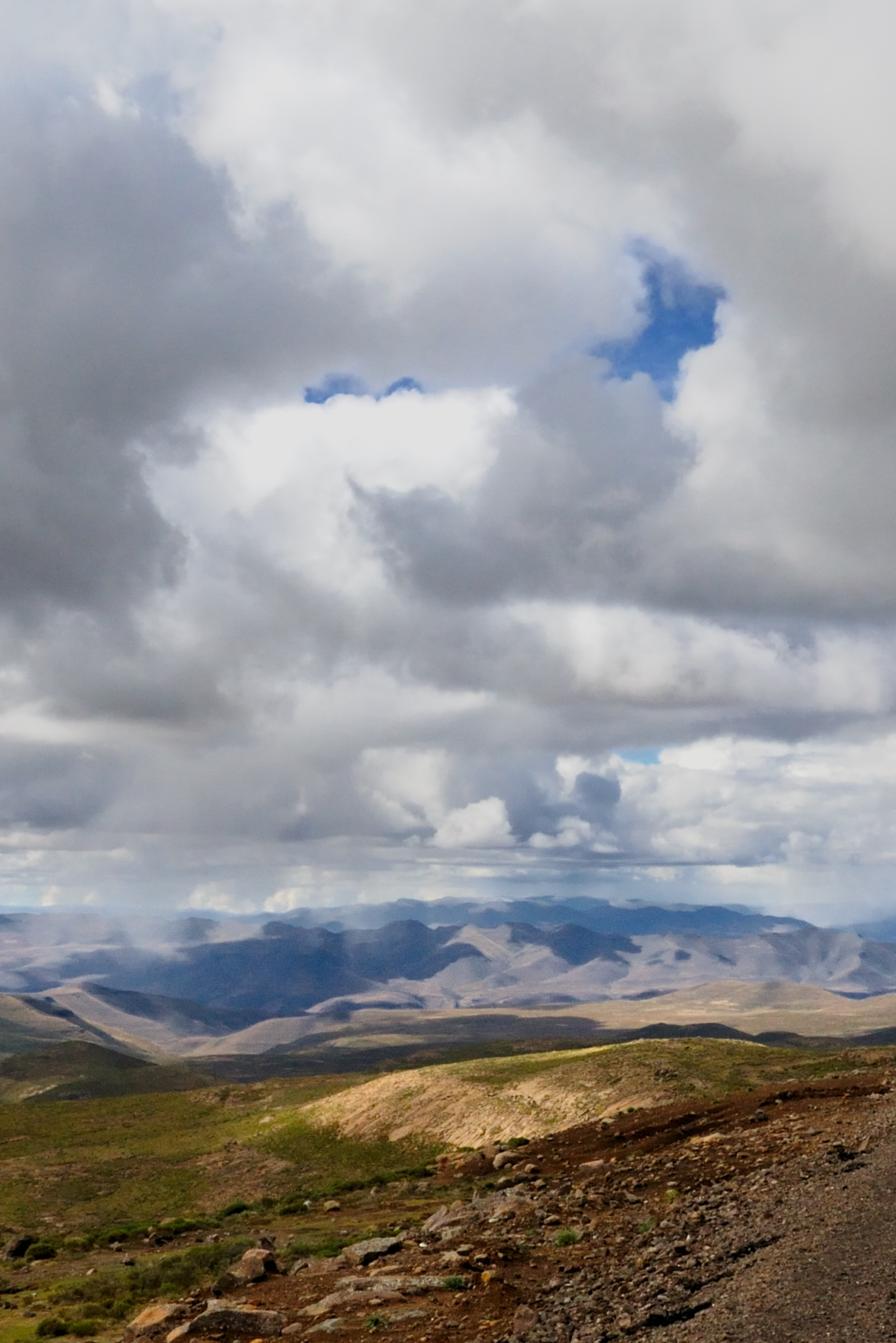
Lesotho,where sky and mountains meet

Lesotho Hills
Topographic Map of Thaba-Tseka, Lesotho
Find elevation by address:

Places near Thaba-Tseka, Lesotho:
Katse Lodge
Maliba Lodge
Leribe
Drakensberg
Cathedral Peak Hotel
Champagne Castle
Monk's Cowl
Giant's Castle
Gaints Castle Game Reserve
Giants Castle Game Reserve
Injisuthi Ekznw Camp
Champagne Castle Hotel
Champagne Castle Hotel
The Cavern Drakensberg Resort & Spa
Giant's Castle
Drakensberg Sun Resort
Mkukwini
Cathkin Park
Phuthaditjhaba
Fcgh+w9
Recent Searches:
- Elevation of Corso Fratelli Cairoli, 35, Macerata MC, Italy
- Elevation of Tallevast Rd, Sarasota, FL, USA
- Elevation of 4th St E, Sonoma, CA, USA
- Elevation of Black Hollow Rd, Pennsdale, PA, USA
- Elevation of Oakland Ave, Williamsport, PA, USA
- Elevation of Pedrógão Grande, Portugal
- Elevation of Klee Dr, Martinsburg, WV, USA
- Elevation of Via Roma, Pieranica CR, Italy
- Elevation of Tavkvetili Mountain, Georgia
- Elevation of Hartfords Bluff Cir, Mt Pleasant, SC, USA