Elevation of th St, Cadott, WI, USA

Location: United States > Wisconsin > Chippewa County > Cadott >

Longitude: -91.163312

Latitude: 44.862423

Elevation: 300m / 984feet

Barometric Pressure: 98KPa

Elevation Map:

elevation map of th St, Cadott, WI, USA

Satellite Map:

Satellite map of th St, Cadott, WI, USA

Related Photos:

fab wisconsin historic augusta soe watermill blueribbonwinner coth supershot dellsmill bej totalphoto platinumphoto anawesomeshot aplusphoto diamondclassphotographer newacademy rubyphotographer flickrclassique mtrtrophyshot janekaufman
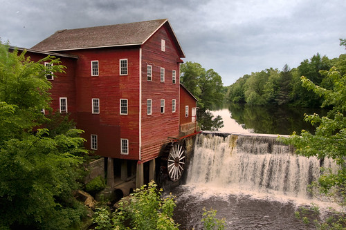
Dells Mill, Augusta WI
boy summer film water girl wisconsin kids analog mediumformat children square xpro crossprocessed sister brother lofi july 120film rings floaties holga120cfn velvia50 2011 lakewissota lakewissotastatepark fujivelvi50
sister & brother, rings
summer lake playing water girl wisconsin kids mediumformat children xpro crossprocessed fuji july 120film catch frisbee summertime splash holga120cfn fujivelvia50 velvia50 2011 chippewafalls chippewacounty lakewissota lakewissotastatepark
playing frisbee, lake wissota
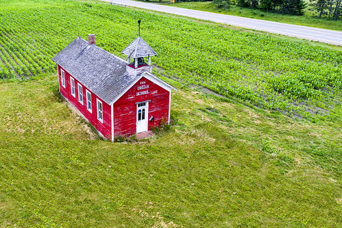
Eagle's view of the Old Red School House
Dells Mill Front View
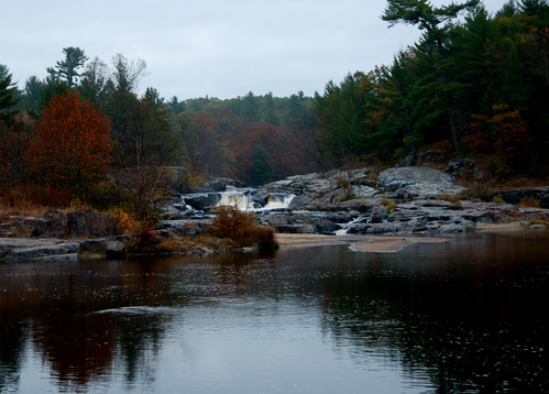
longexposure morning autumn red orange reflection yellow wisconsin rural landscape mirror waterfall pond midwest antique dam fallcolors americana dellsmill greglundgren
Autumn on the Mill Pond
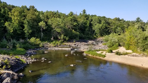
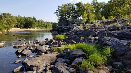
wisconsin eauclaire bigfallscountypark river rockformtions
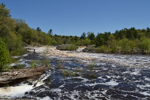
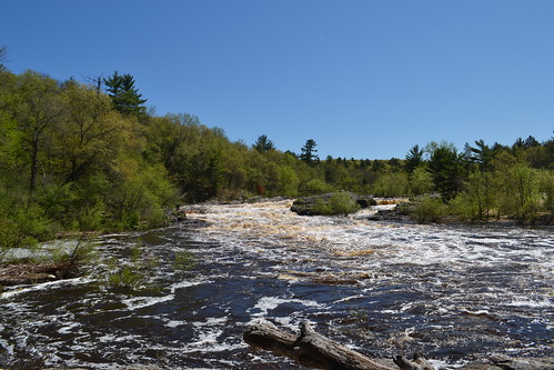
Big Falls County Park (16)
wisconsin eauclaire bigfallscountypark river rockformtions
Big Falls County Park (2)
wisconsin eauclaire bigfallscountypark river rockformtions
Big Falls County Park (3)
wisconsin eauclaire bigfallscountypark river rockformtions
Big Falls County Park (6)
wisconsin eauclaire bigfallscountypark river rockformtions
Big Falls County Park (5)
wisconsin eauclaire bigfallscountypark river rockformtions
Big Falls County Park (7)
wisconsin eauclaire bigfallscountypark river rockformtions
Big Falls County Park (24)
wisconsin eauclaire bigfallscountypark river rockformtions
Big Falls County Park (20)
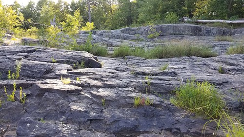
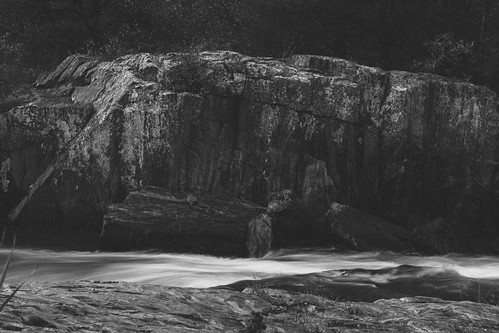
longexposure blur rock wisconsin river landscapes time boulder erosion flowing geology subjects eauclaire countypark metamorphic gneiss geologic foliation bigfalls
River flowing by wall of gneiss
autumn wisconsin landscape midwest augusta iphone dellsmill
Dells Mill, Augusta WI
047.CR2
Wildflower Trail
Big Falls County Park
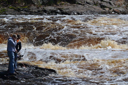
park county wisconsin claire big fishing eau falls system bow wi sportsmen
bow fishing in Big Falls - Eau Claire County Park, WI
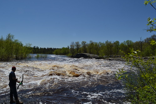
park county wisconsin claire big fishing eau falls system bow wi sportsmen
bow fishing in Big Falls - Eau Claire County Park, WI
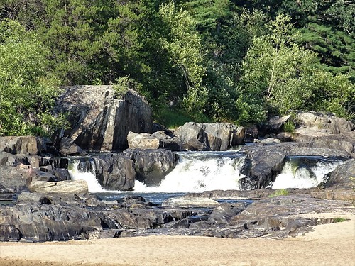
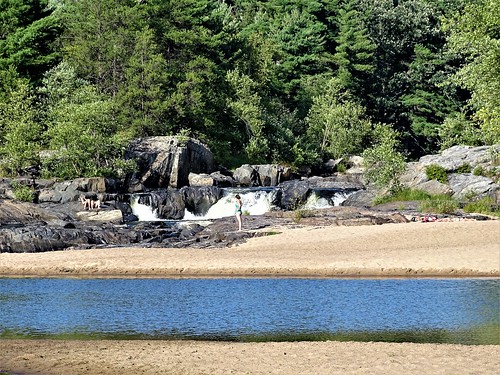
usa wisconsin waterfall unitedstates chippewafalls bigfallscountypark
Big Falls County Park_0001a
Dells Mill
Big Falls County Park
park county wisconsin claire big eau falls system bow wi
Big Falls - Eau Claire County Park, WI
park county wisconsin claire big eau falls system bow wi
Big Falls - Eau Claire County Park, WI