Elevation of th Ave, Sioux Rapids, IA, USA
Location: United States > Iowa > Clay County > Herdland >
Longitude: -95.139876
Latitude: 42.94435
Elevation: 425m / 1394feet
Barometric Pressure: 96KPa
Elevation Map:
Satellite Map:
Related Photos:
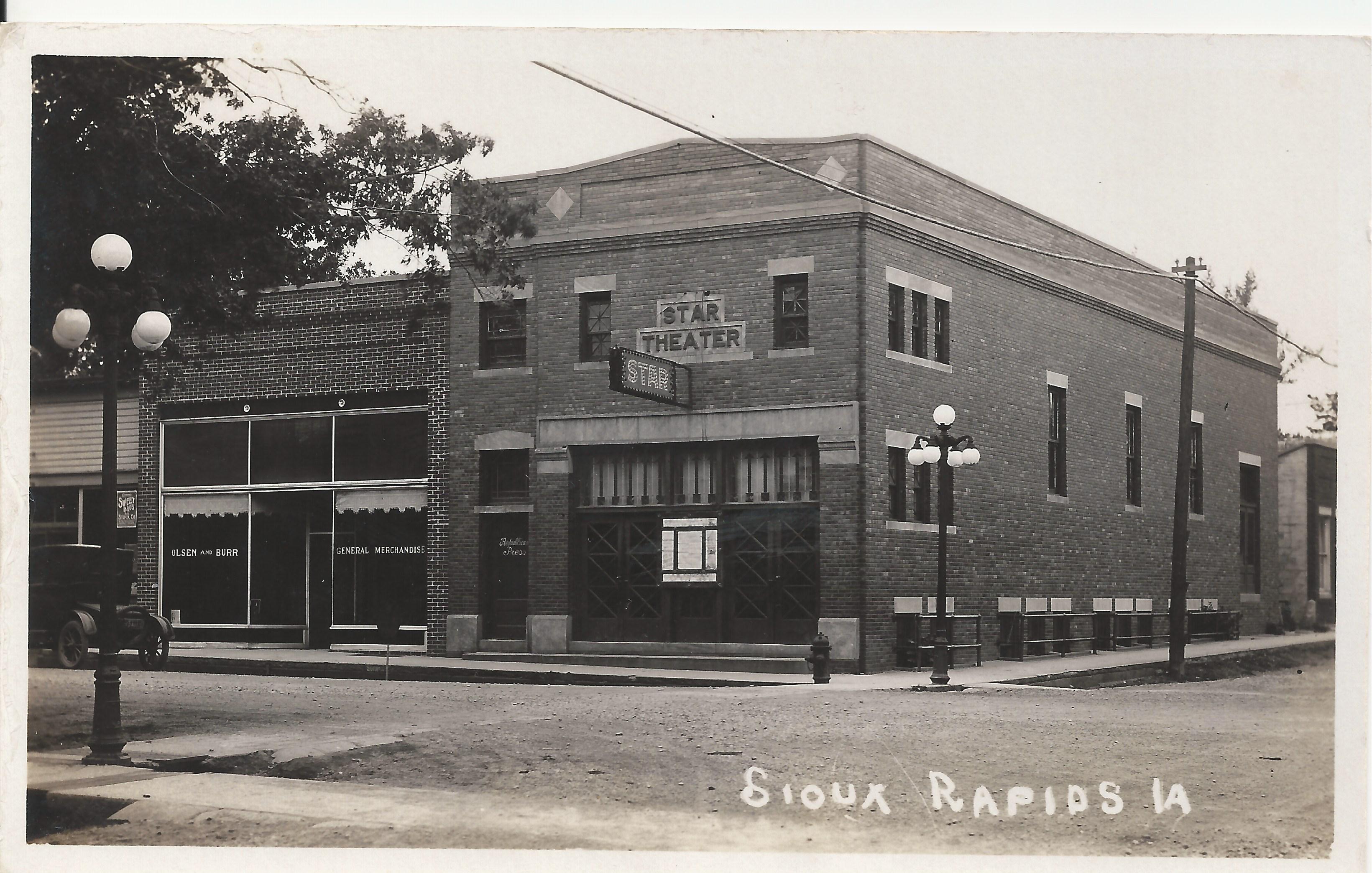
Star Theater, Sioux Rapids, Iowa

Stay On The Path

More Thanatos Landscaping (2)

More Thanatos Landscaping (3)

More Thanatos Landscaping (1)
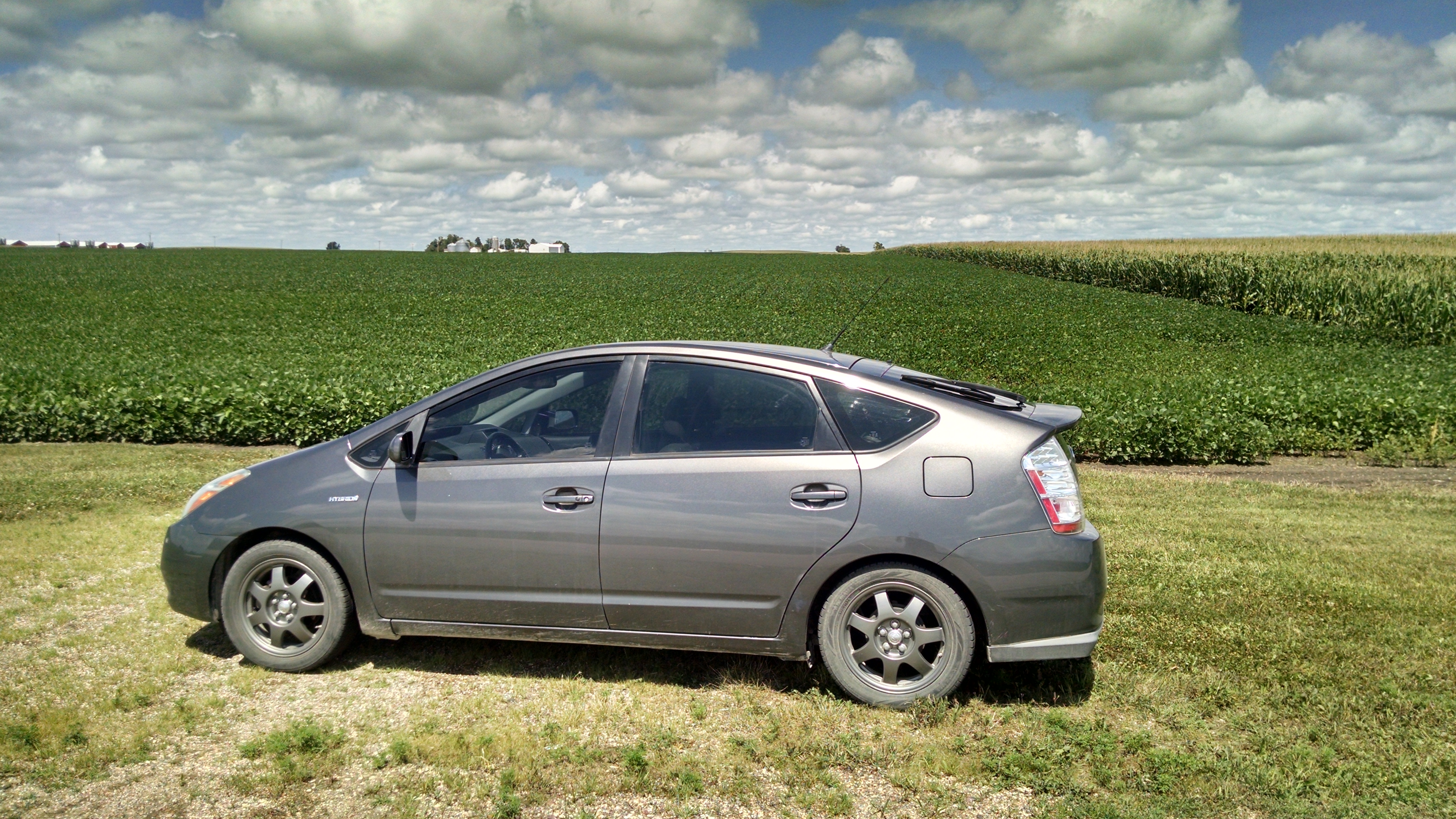
2008 Prius + Iowa Corn, Beans and Clouds

Community Center & Fire Station - Linn Grove, IA
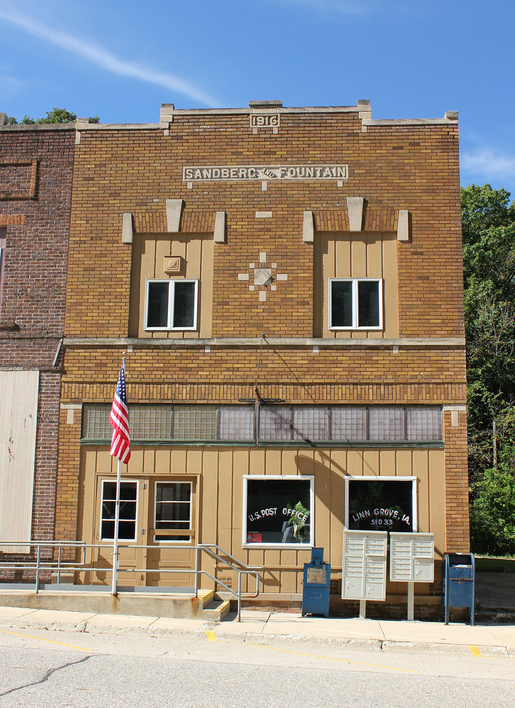
Sandberg and Fountain Building (Post Office) - Linn Grove, IA
Downtown Buildings - Linn Grove, IA

Webb Iowa. The only sign that there was a Railway in Town.
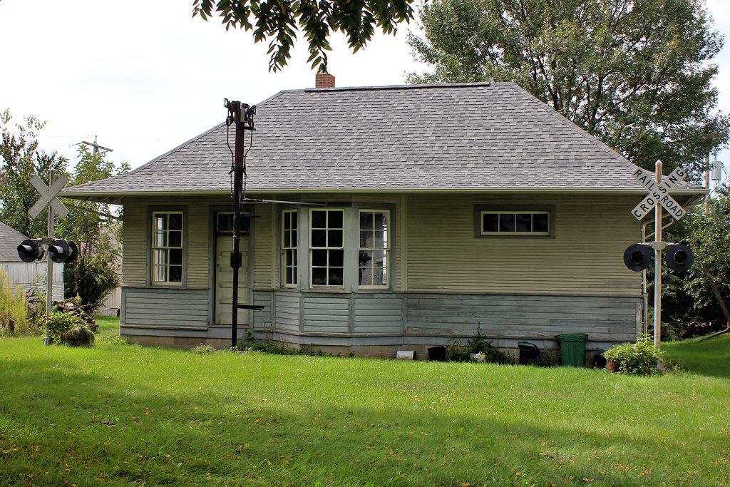
Leverett, IA Rock Island Railroad Depot - Sioux Rapids, IA
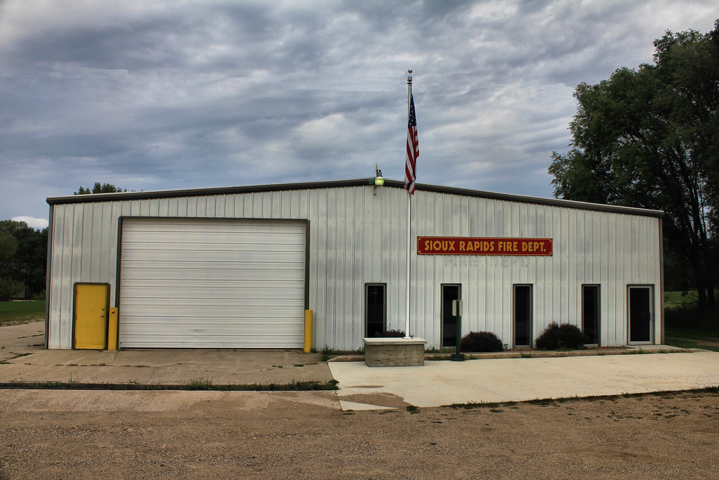
Fire Station - Sioux Rapids, IA
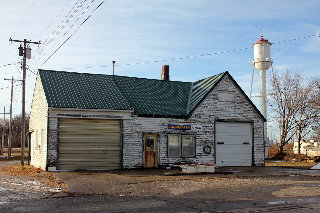
Gas Station - Rembrandt, IA
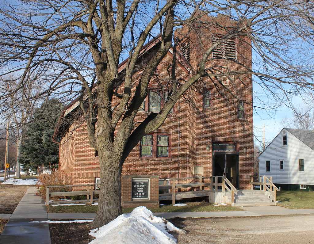
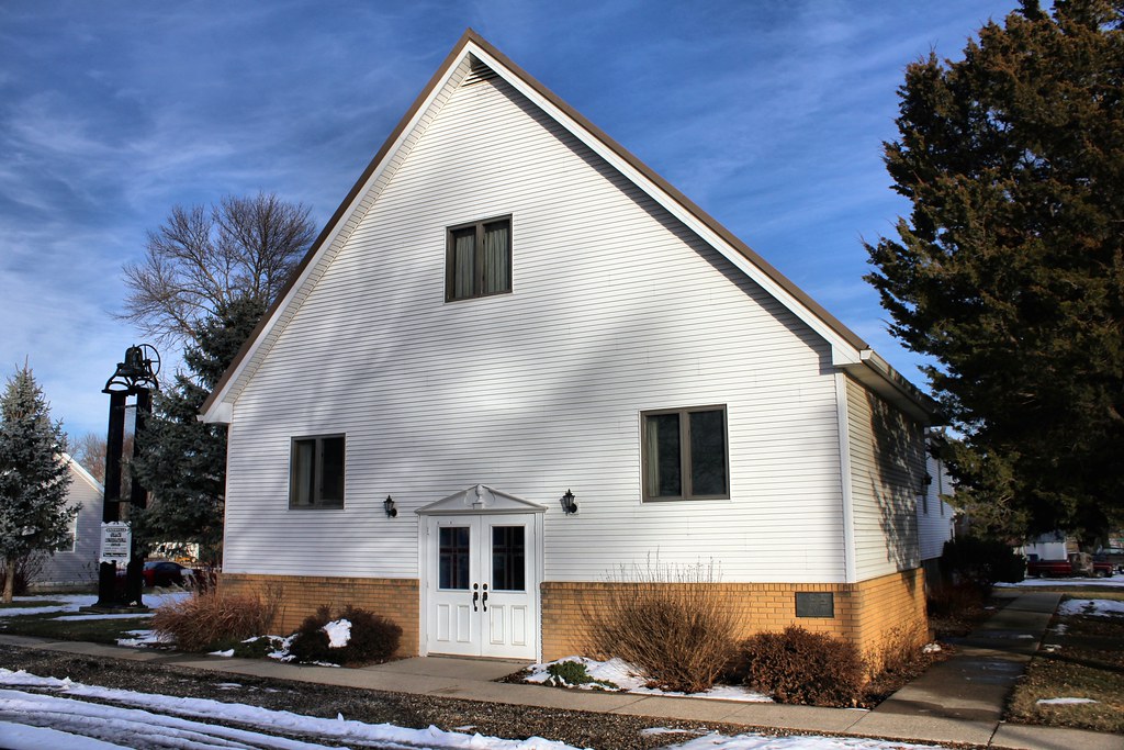
United Methodist Church - Rembrandt, IA
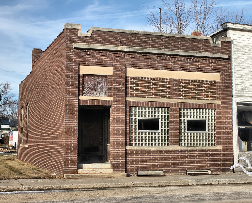
Bank Building - Rembrandt, IA
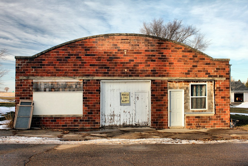
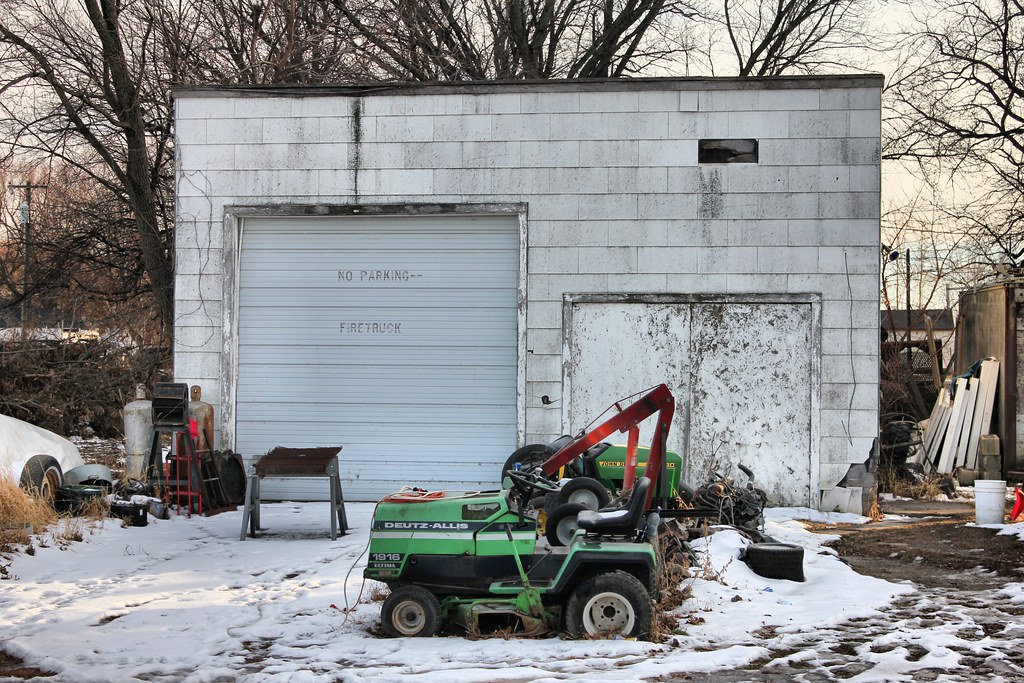
Garage - Greenville, IA

Greenville Locker - Greenville, IA
Grace Congregational Church - Greenville, IA
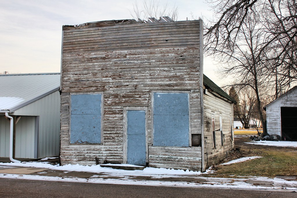
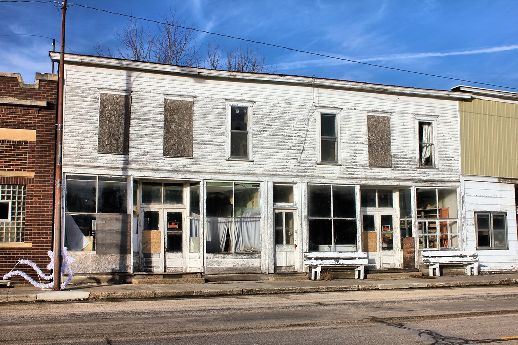
Storefront - Greenville, IA
Tessa's Harvest Moon Bar & Grill - Greenville, IA
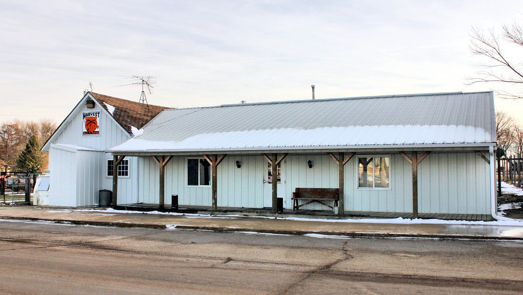
Fire Station (Former) - Greenville, IA
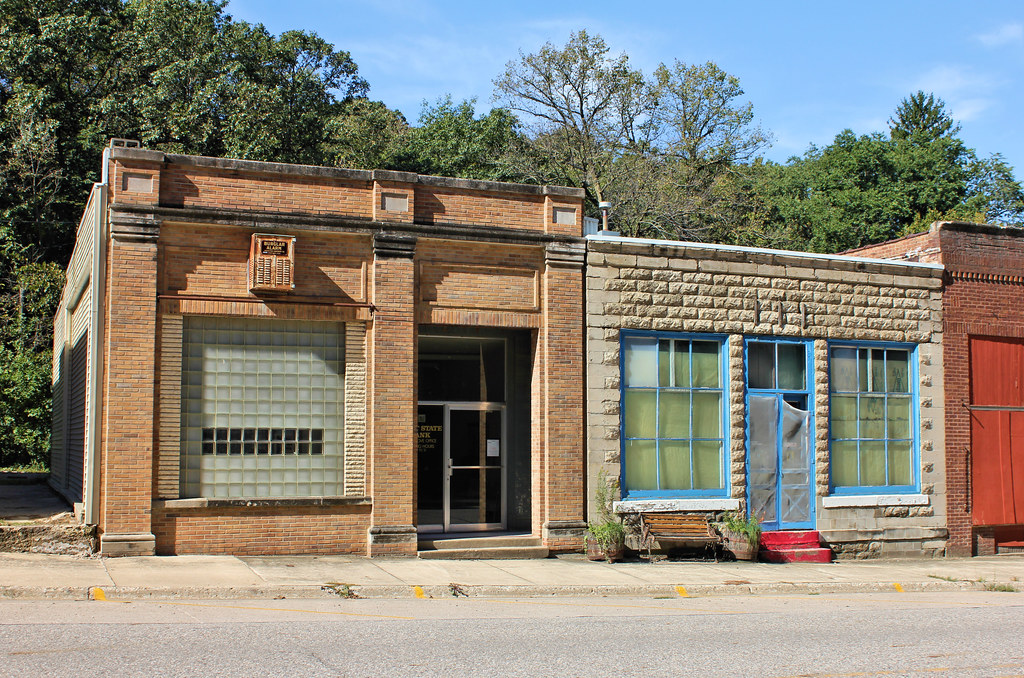
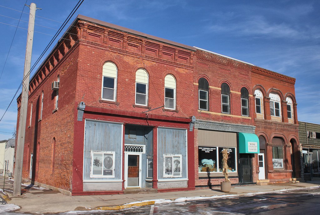
Downtown Building - Rembrandt, IA
Downtown Buildings - Sioux Rapids, IA
Topographic Map of th Ave, Sioux Rapids, IA, USA
Find elevation by address:

Places near th Ave, Sioux Rapids, IA, USA:
Main St, Sioux Rapids, IA, USA
Sioux Rapids
Herdland
Greenville
Main St, Greenville, IA, USA
Main St, Sioux Rapids, IA, USA
Barnes
Gillett Grove
Linn Grove
Weaver St, Linn Grove, IA, USA
410 Broadway St
E Main St, Laurens, IA, USA
Rembrandt
Webb
Boyden St, Webb, IA, USA
th St, Spencer, IA, USA
1732 4th Ave Sw
1720 4th Ave Sw
1710 4th Ave Sw
1708 4th Ave Sw
Recent Searches:
- Elevation of Corso Fratelli Cairoli, 35, Macerata MC, Italy
- Elevation of Tallevast Rd, Sarasota, FL, USA
- Elevation of 4th St E, Sonoma, CA, USA
- Elevation of Black Hollow Rd, Pennsdale, PA, USA
- Elevation of Oakland Ave, Williamsport, PA, USA
- Elevation of Pedrógão Grande, Portugal
- Elevation of Klee Dr, Martinsburg, WV, USA
- Elevation of Via Roma, Pieranica CR, Italy
- Elevation of Tavkvetili Mountain, Georgia
- Elevation of Hartfords Bluff Cir, Mt Pleasant, SC, USA