Elevation of th Ave, Foley, MN, USA
Location: United States > Minnesota > Morrison County >
Longitude: -93.968847
Latitude: 45.8404726
Elevation: 391m / 1283feet
Barometric Pressure: 97KPa
Elevation Map:
Satellite Map:
Related Photos:
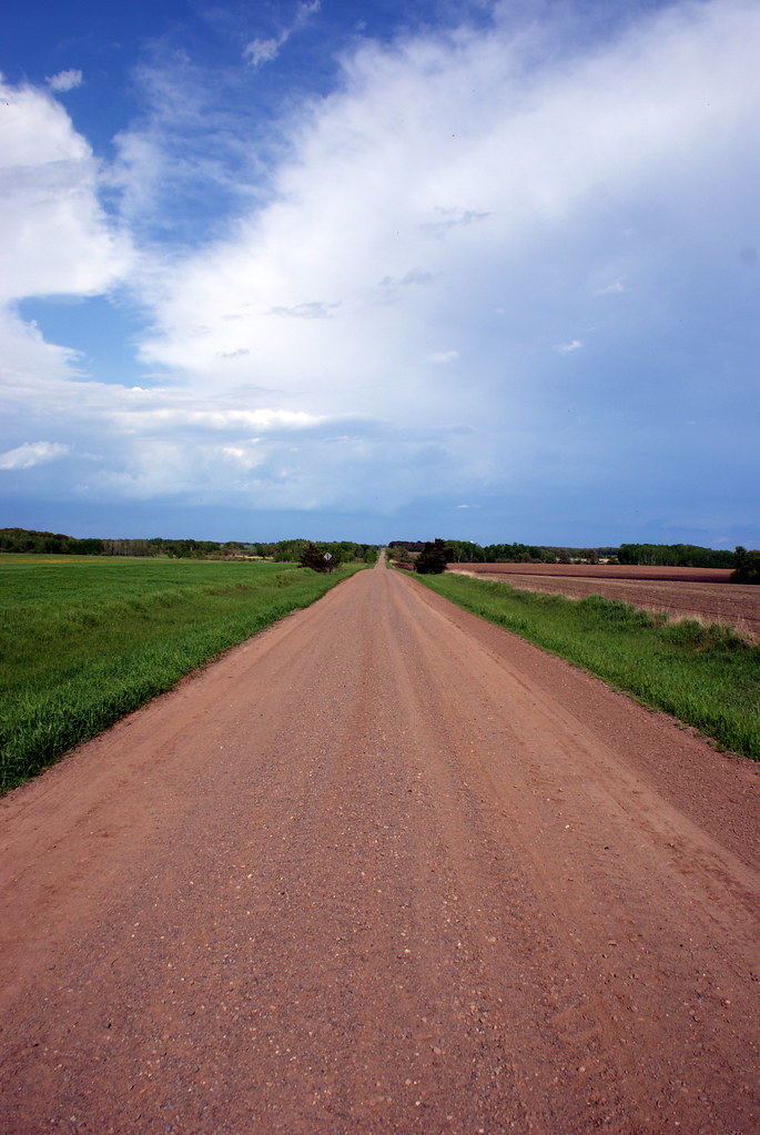
Country road.

Sauk center to Foley, MN
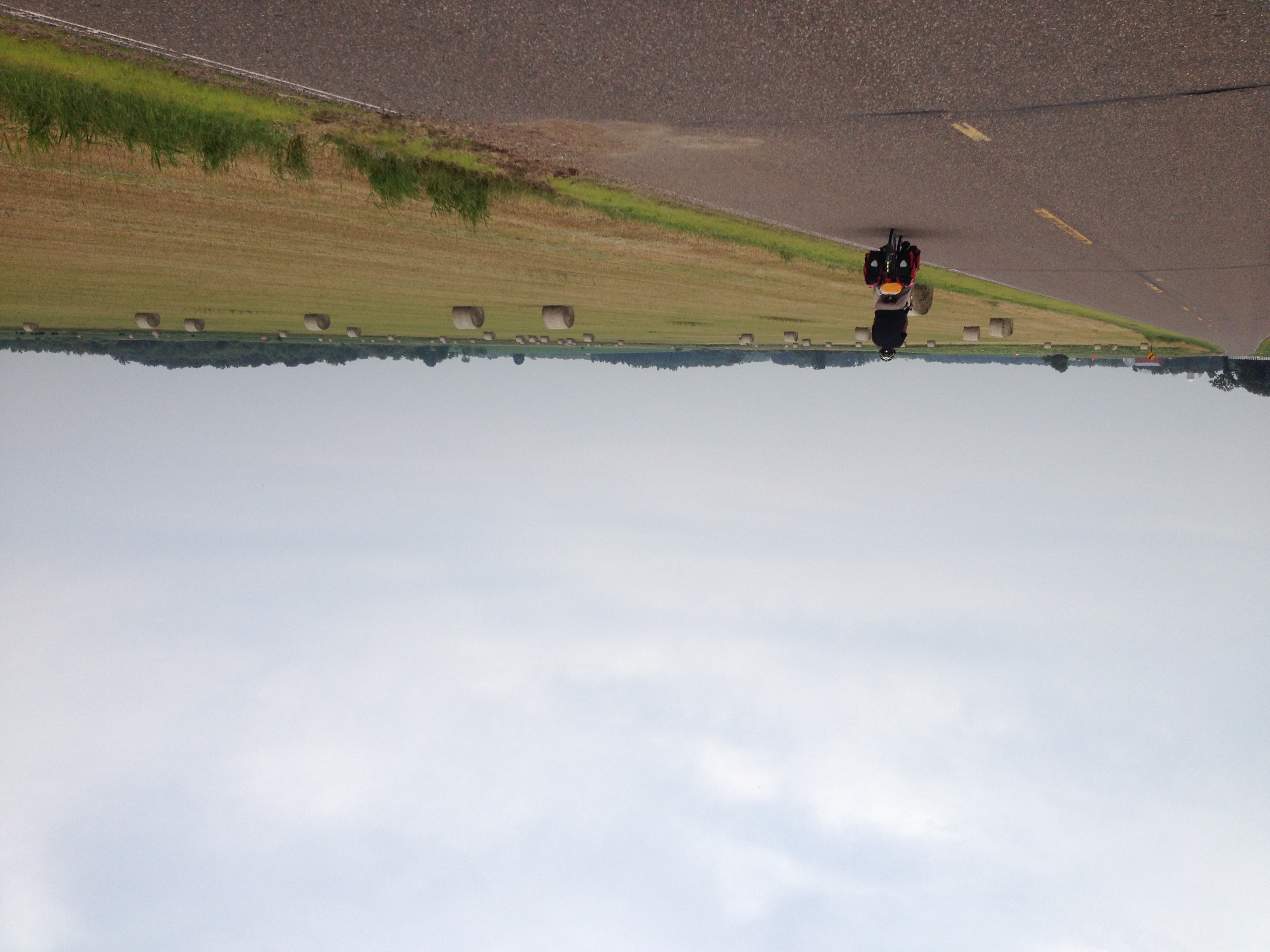
Sauk center to Foley, MN

Sauk center to Foley, MN

Sauk center to Foley, MN

Sauk center to Foley, MN

STC 0408 Snowman 1
20110604-01-01
Sev's Krawiecki Liquor and Food
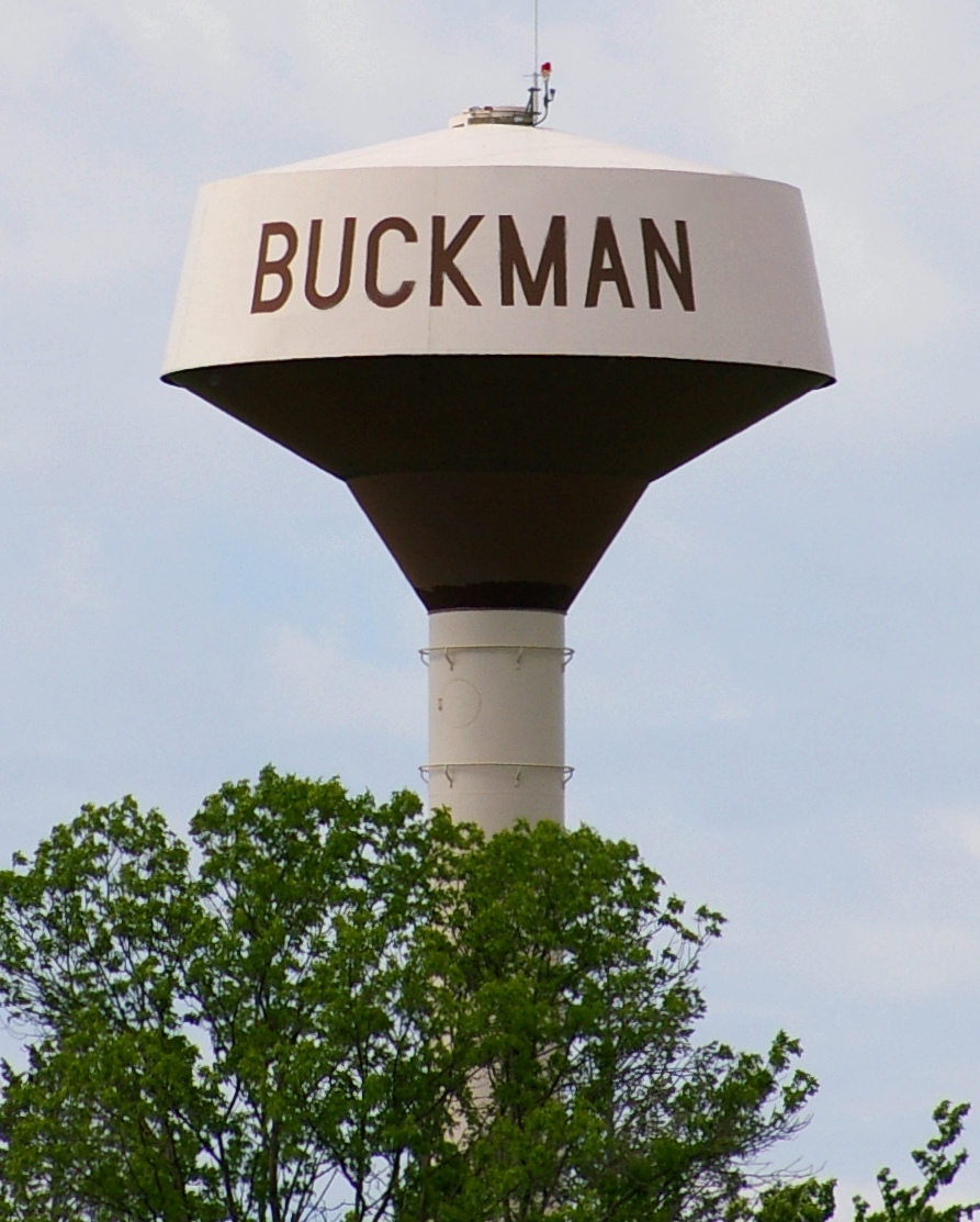
Buckman Minnesota Water Tower
Topographic Map of th Ave, Foley, MN, USA
Find elevation by address:

Places near th Ave, Foley, MN, USA:
Alberta Township
Pine Rd NE, Foley, MN, USA
th St NE, Foley, MN, USA
Gilman
th St NE, Foley, MN, USA
Benton County
Morrison County
Mayhew Lake Township
6953 Golden Spike Rd Ne
Dewey St, Foley, MN, USA
65th St NE, Sauk Rapids, MN, USA
Sauk Rapids-rice High School
Quest Rd, Harding, MN, USA
2875 10th Ave Ne
462 Stork Dr
1159 10th Ave N
1602 4 1/2 Ave N
1205 Oakcrest Dr
Ridgeview Place Senior Living
420 8th Ave S
Recent Searches:
- Elevation of Corso Fratelli Cairoli, 35, Macerata MC, Italy
- Elevation of Tallevast Rd, Sarasota, FL, USA
- Elevation of 4th St E, Sonoma, CA, USA
- Elevation of Black Hollow Rd, Pennsdale, PA, USA
- Elevation of Oakland Ave, Williamsport, PA, USA
- Elevation of Pedrógão Grande, Portugal
- Elevation of Klee Dr, Martinsburg, WV, USA
- Elevation of Via Roma, Pieranica CR, Italy
- Elevation of Tavkvetili Mountain, Georgia
- Elevation of Hartfords Bluff Cir, Mt Pleasant, SC, USA