Elevation of th Ave, Burwell, NE, USA
Location: United States > Nebraska > Garfield County > Rockford > Burwell >
Longitude: -99.274689
Latitude: 41.8506681
Elevation: 707m / 2320feet
Barometric Pressure: 93KPa
Elevation Map:
Satellite Map:
Related Photos:

Buses near the lek in Burwell

American White Pelican

Beautiful Dawn

Greater Prairie-Chicken 2016-04-04 (61)

Greater Prairie-Chicken 2016-04-04 (50)
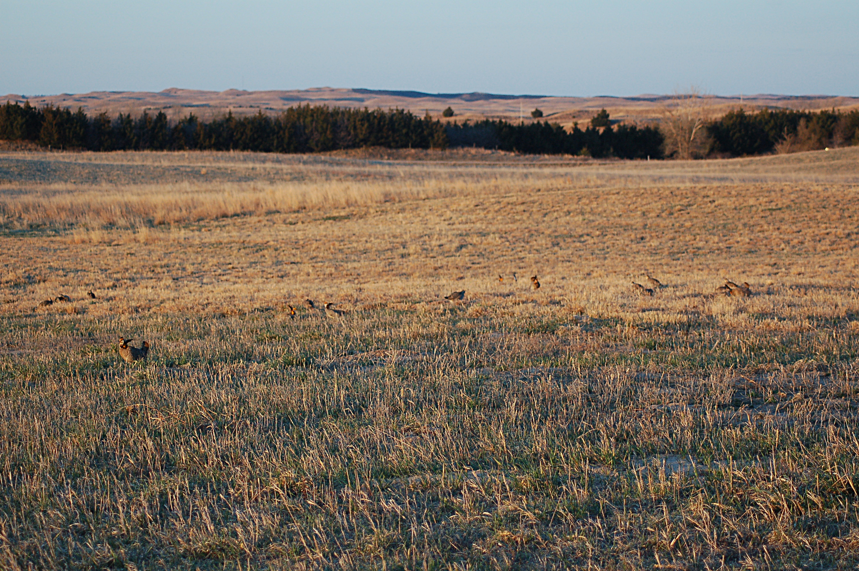
Greater Prairie-Chicken 2016-04-04 (21)

Greater Prairie-Chicken 2016-04-04 (79)

Greater Prairie-Chicken 2016-04-04 (75)

Greater Prairie-Chicken 2016-04-04 (76)

Greater Prairie-Chicken 2016-04-04 (36)
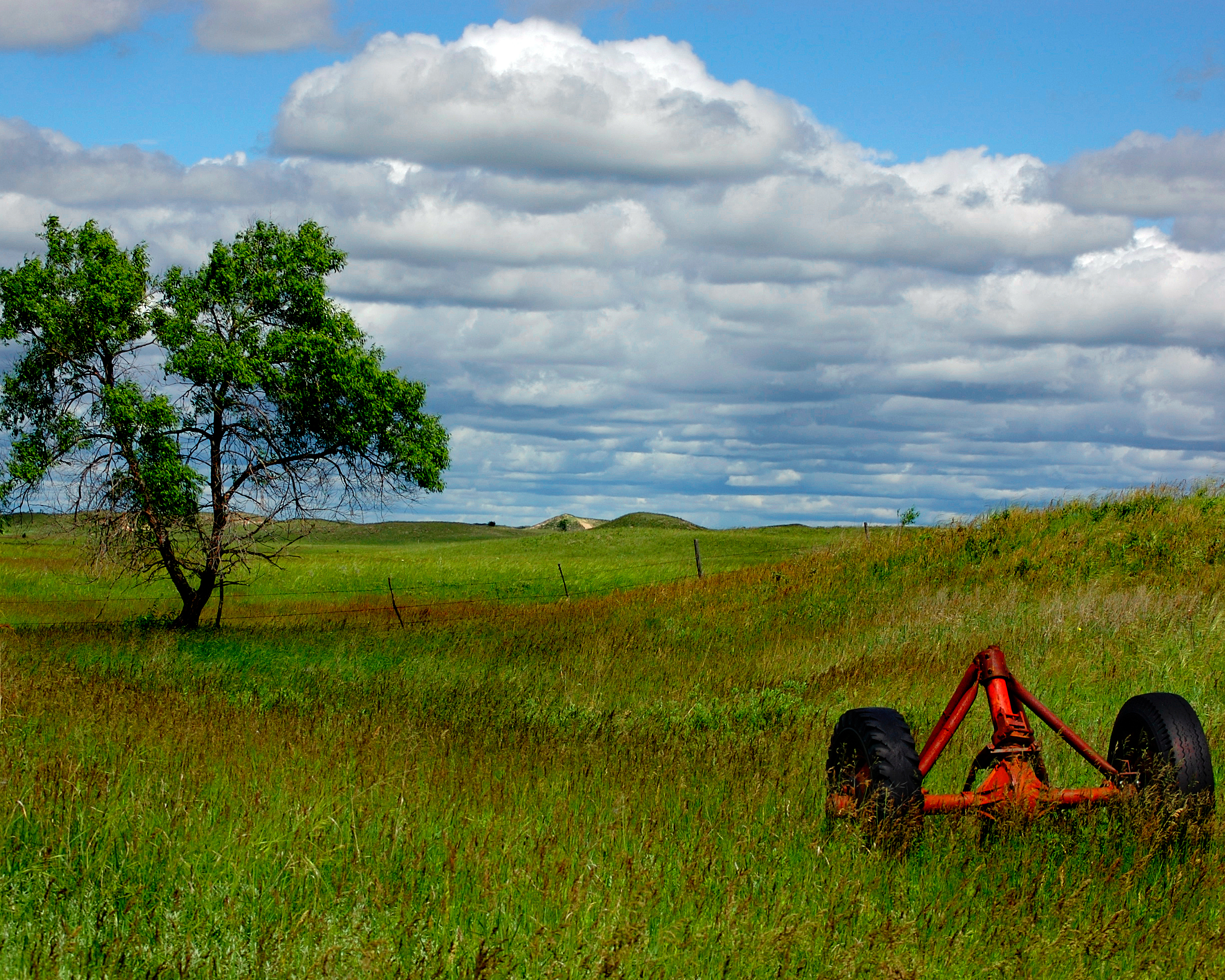
Sandhills of Nebraska
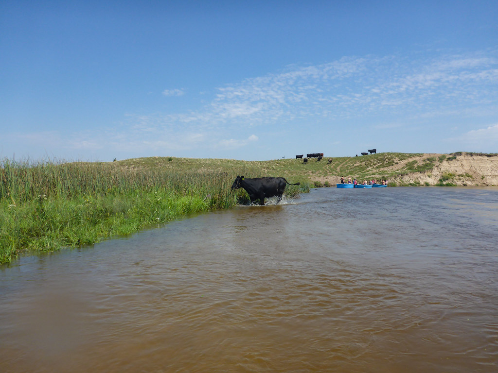
Calamus River - Nebraska

Driftwood at the Beach
Topographic Map of th Ave, Burwell, NE, USA
Find elevation by address:

Places near th Ave, Burwell, NE, USA:
Kent
Rockford
Burwell
Loup County
Garfield County
Milburn
Arcadia
Milburn
Saunders St, Berwyn, NE, USA
Berwyn
Broken Bow
Berwyn
745 Hillcrest Dr
Broken Bow
1109 S 5th Ave
Broken Bow City Street Department
O St, Loup City, NE, USA
Custer County
Wheeler County
Bartlett
Recent Searches:
- Elevation of Corso Fratelli Cairoli, 35, Macerata MC, Italy
- Elevation of Tallevast Rd, Sarasota, FL, USA
- Elevation of 4th St E, Sonoma, CA, USA
- Elevation of Black Hollow Rd, Pennsdale, PA, USA
- Elevation of Oakland Ave, Williamsport, PA, USA
- Elevation of Pedrógão Grande, Portugal
- Elevation of Klee Dr, Martinsburg, WV, USA
- Elevation of Via Roma, Pieranica CR, Italy
- Elevation of Tavkvetili Mountain, Georgia
- Elevation of Hartfords Bluff Cir, Mt Pleasant, SC, USA