Elevation of Texas, TX-, Texas, USA
Location: United States > Texas > Montgomery County >
Longitude: -95.274476
Latitude: 30.3294915
Elevation: 60m / 197feet
Barometric Pressure: 101KPa
Elevation Map:
Satellite Map:
Related Photos:

Cut and Shoot

AGQ-20161015-0002

Roadside Sunrise

Sunrise Reflection
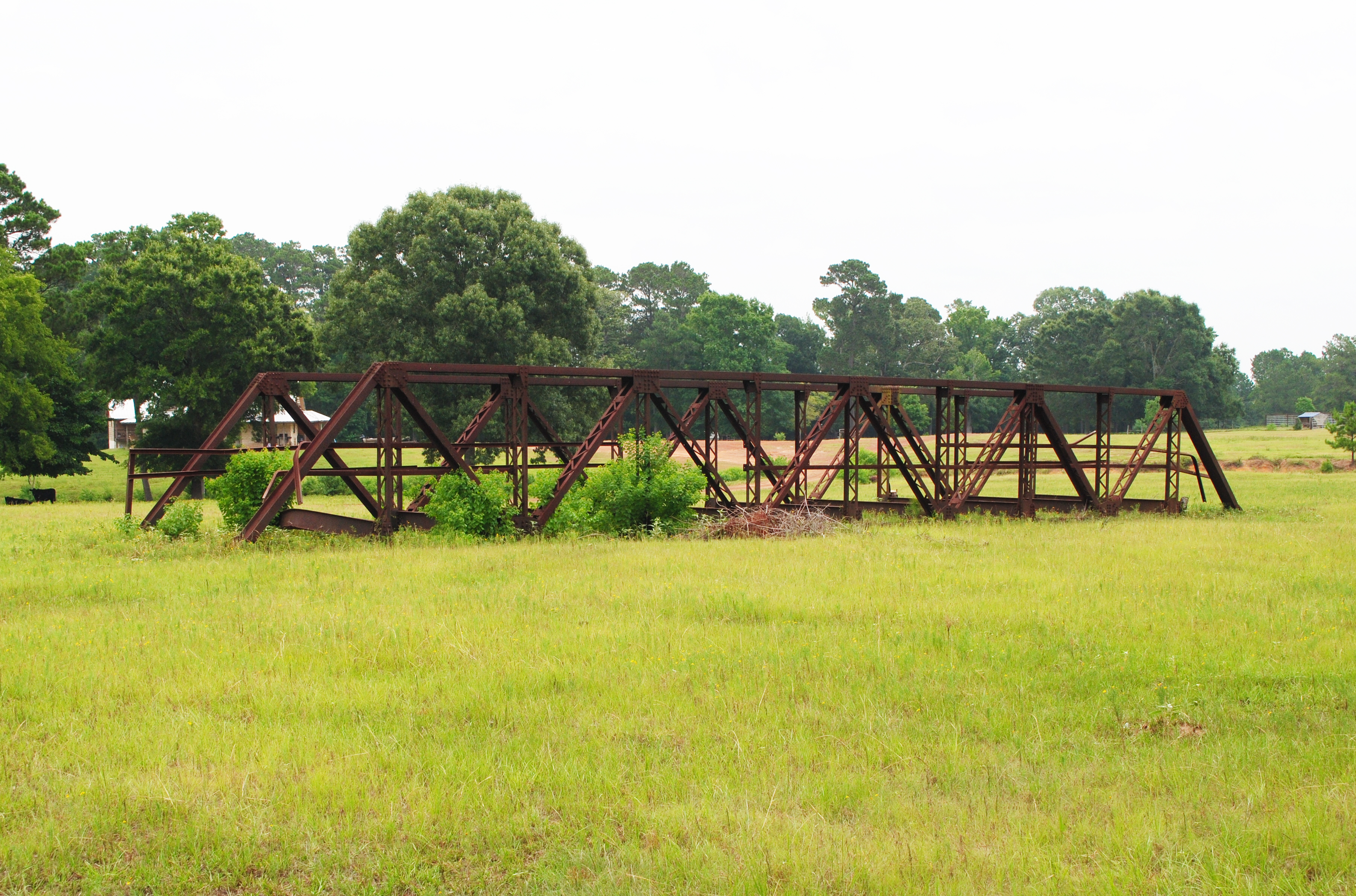
Pony Truss Bridge, Formerly Carrying Tony Tap Road over Winters Bayou, Cleveland, Texas 1306151152

2016-04-07 - New Caney, TX - 1246

25039 West Christine Drive, Splendora TX, 77372 - 0258
25039 West Christine Drive, Splendora TX, 77372 - 0259
25039 West Christine Drive, Splendora TX, 77372 - 0275

Texas Paintbrush
Topographic Map of Texas, TX-, Texas, USA
Find elevation by address:

Places near Texas, TX-, Texas, USA:
1375 S Walker Rd
7710 Timber Switch Rd
7710 Timber Switch Rd
7710 Timber Switch Rd
199 Carmen Blvd
15960 Tree Monkey Rd
Tree Monkey Rd, Conroe, TX, USA
10647 Greenridge Rd
14898 Frank Plunk Dr
9410 Heritage Ranch Road
Cut And Shoot
17031 Red Leaf Ln
17031 Red Leaf Ln
Lee Dr, Conroe, TX, USA
14257 5 Guinea Ln
2920 Green Forest Rd
2896 Green Forest Rd
12306 Twin Pines
12306 Twin Pines
9172 Black Buck Ln
Recent Searches:
- Elevation of Corso Fratelli Cairoli, 35, Macerata MC, Italy
- Elevation of Tallevast Rd, Sarasota, FL, USA
- Elevation of 4th St E, Sonoma, CA, USA
- Elevation of Black Hollow Rd, Pennsdale, PA, USA
- Elevation of Oakland Ave, Williamsport, PA, USA
- Elevation of Pedrógão Grande, Portugal
- Elevation of Klee Dr, Martinsburg, WV, USA
- Elevation of Via Roma, Pieranica CR, Italy
- Elevation of Tavkvetili Mountain, Georgia
- Elevation of Hartfords Bluff Cir, Mt Pleasant, SC, USA