Elevation of Tetriseläntie 8, Ilomantsi, Finland
Location: Finland > Ilomantsi >
Longitude: 30.932392
Latitude: 62.6115883
Elevation: 180m / 591feet
Barometric Pressure: 99KPa
Elevation Map:
Satellite Map:
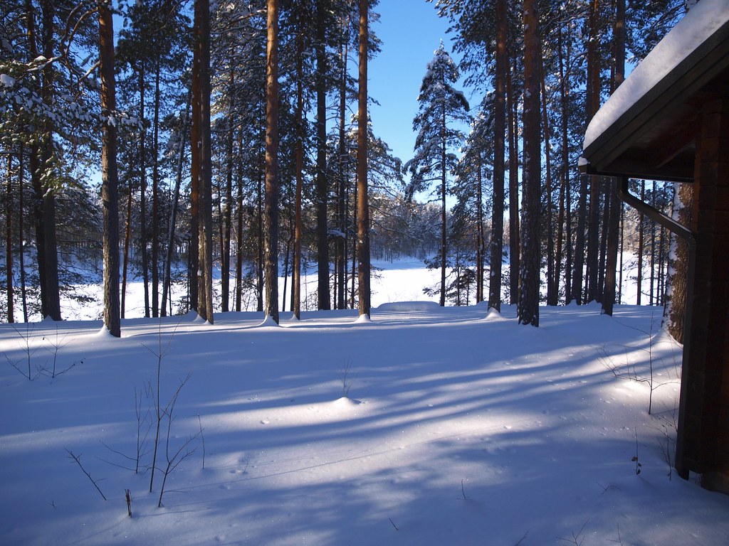
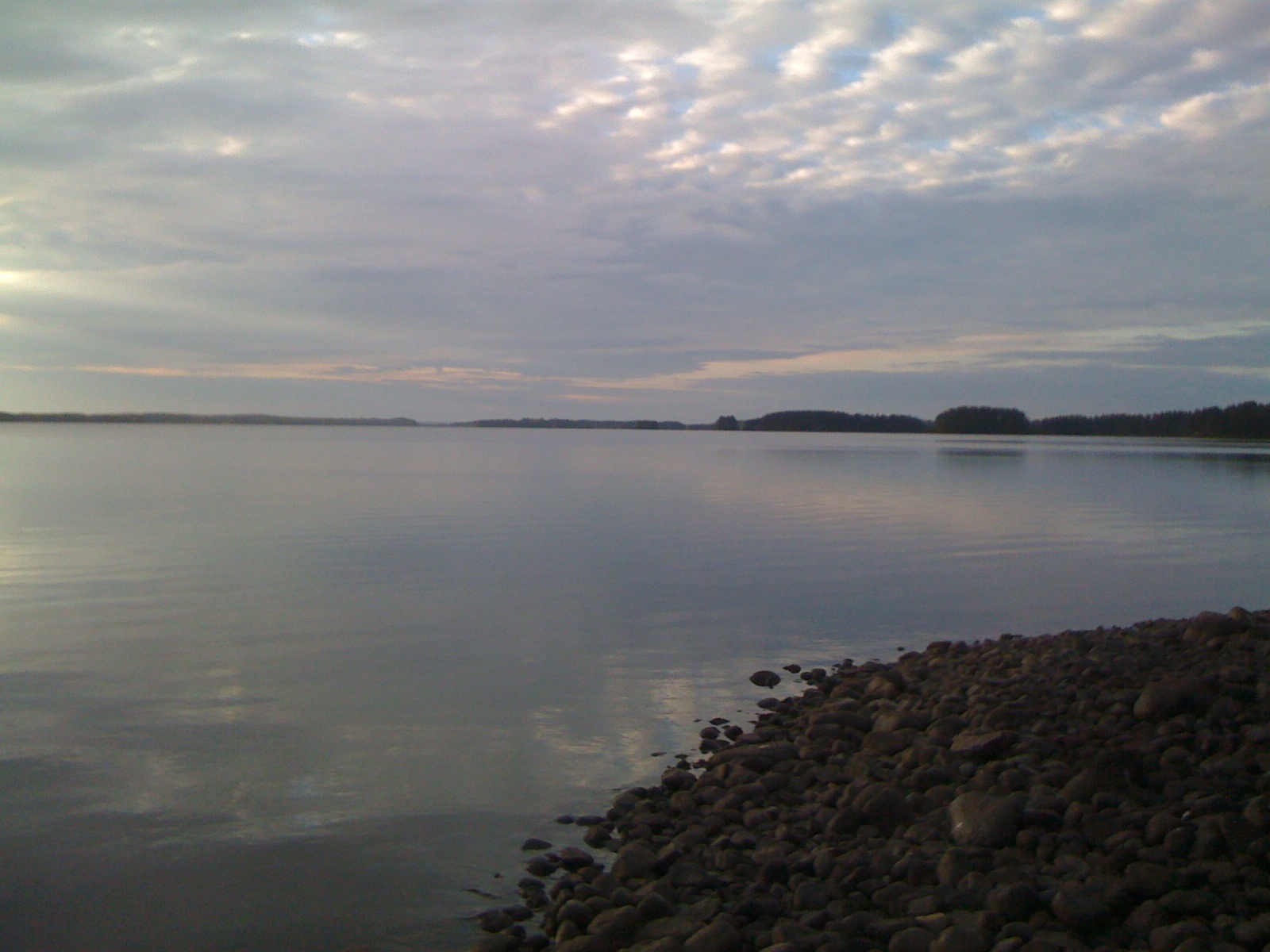
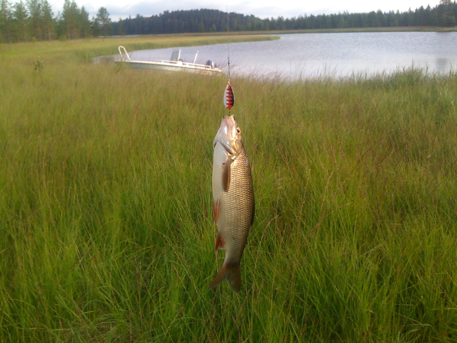
Related Photos:
View over the lake
Uploaded - 28\8\2010-6
Uploaded - 3\8\2009-3
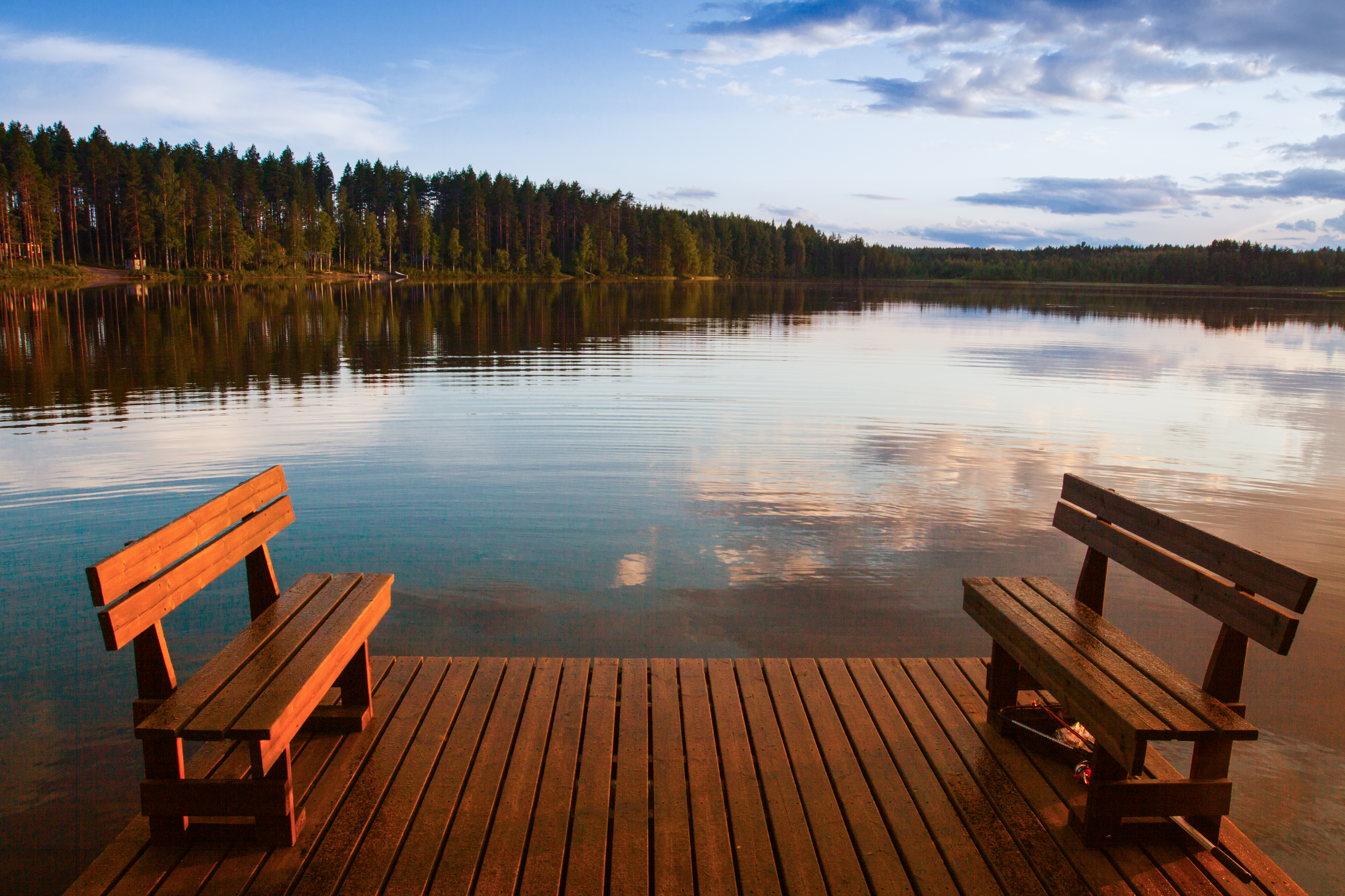
Unser Lieblingsplatz
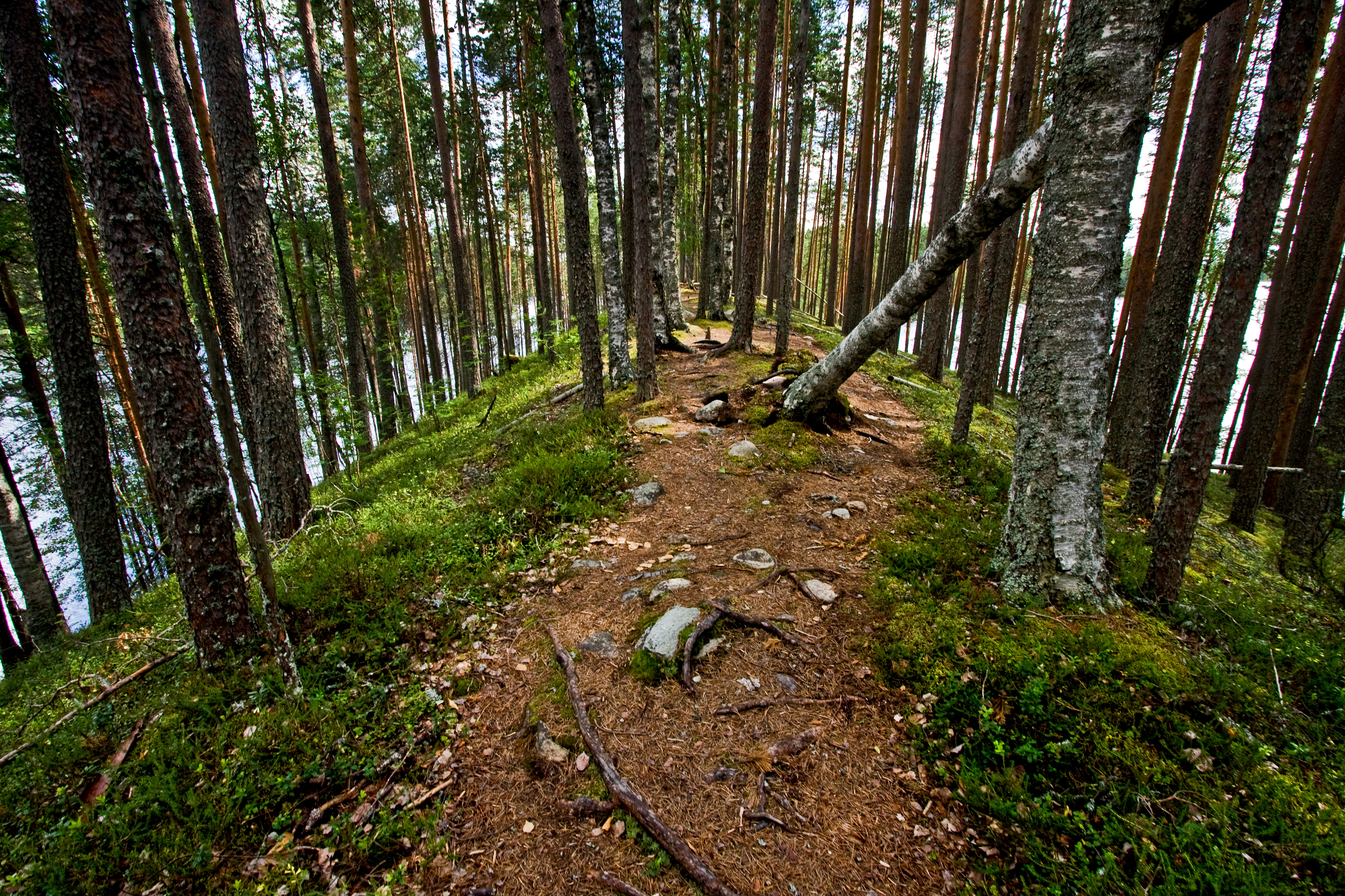
An esker at Petkeljärvi national park

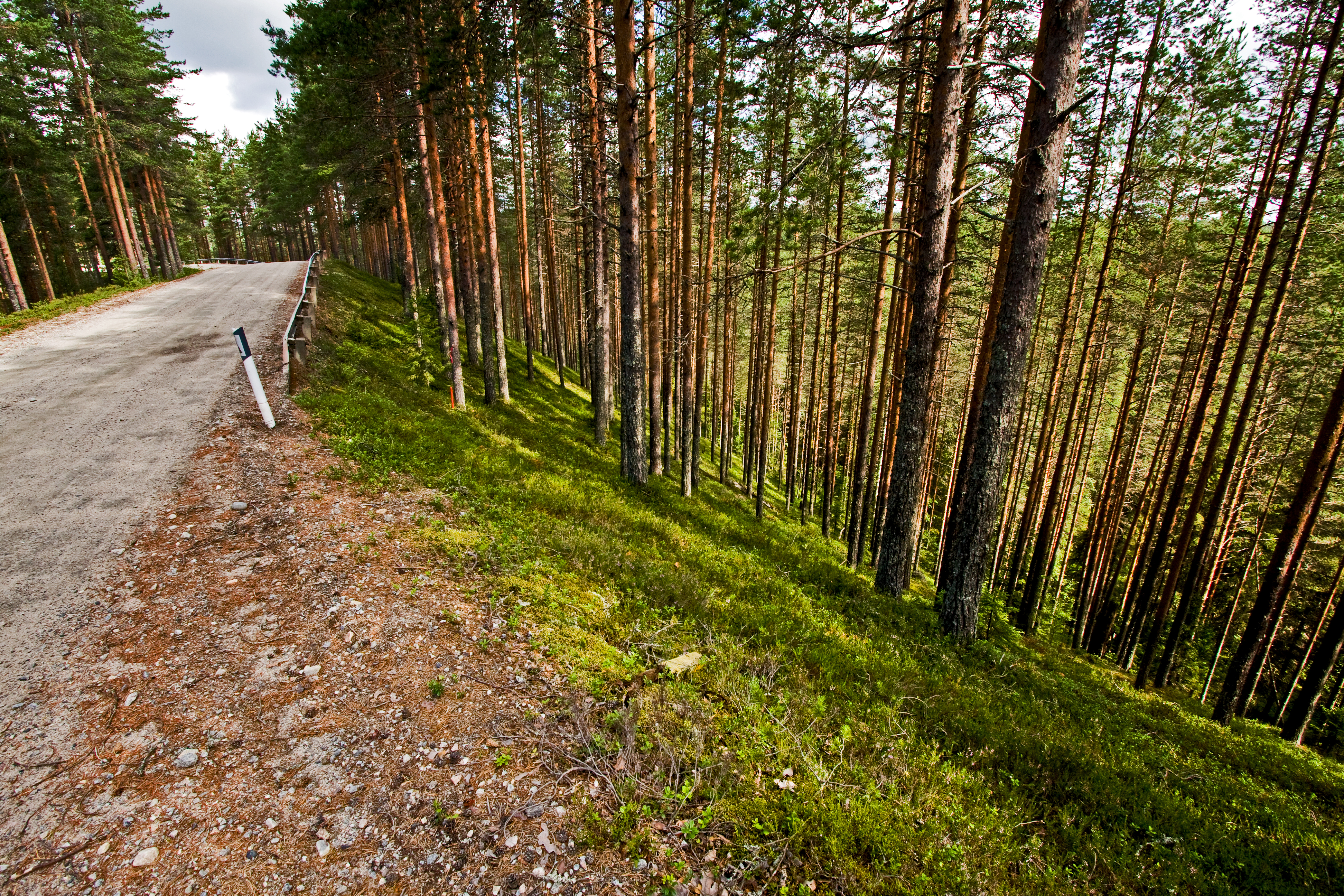
Sonkaja Ilomantsi

Sonkaja Ilomantsi
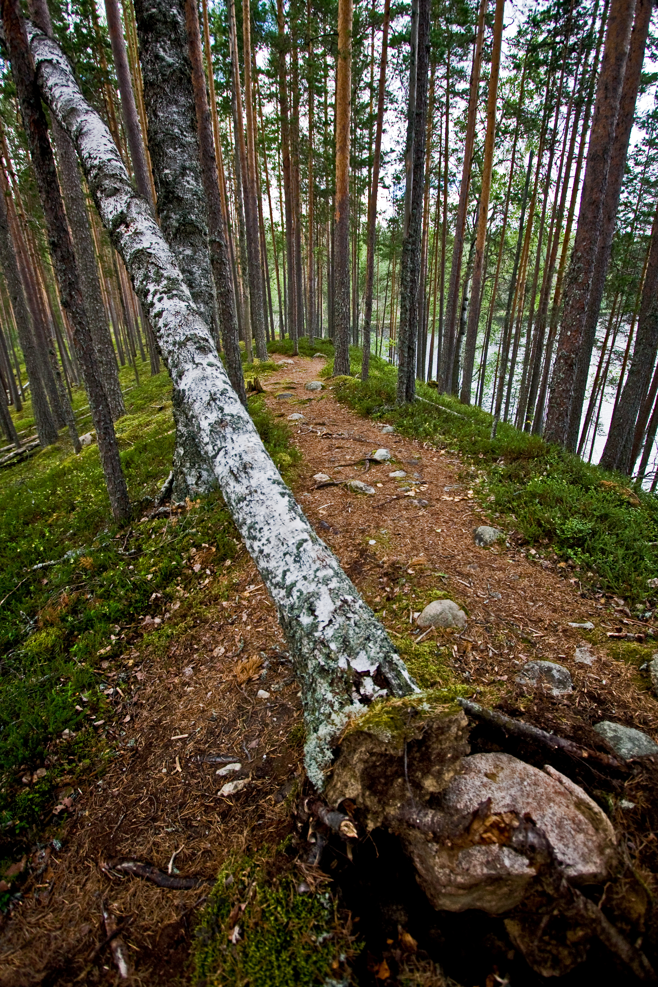
An esker at Petkeljärvi national park
Petkeljärvenharju esker

Sonkaja Ilomantsi

Sonkaja Ilomantsi

Sonkaja Ilomantsi
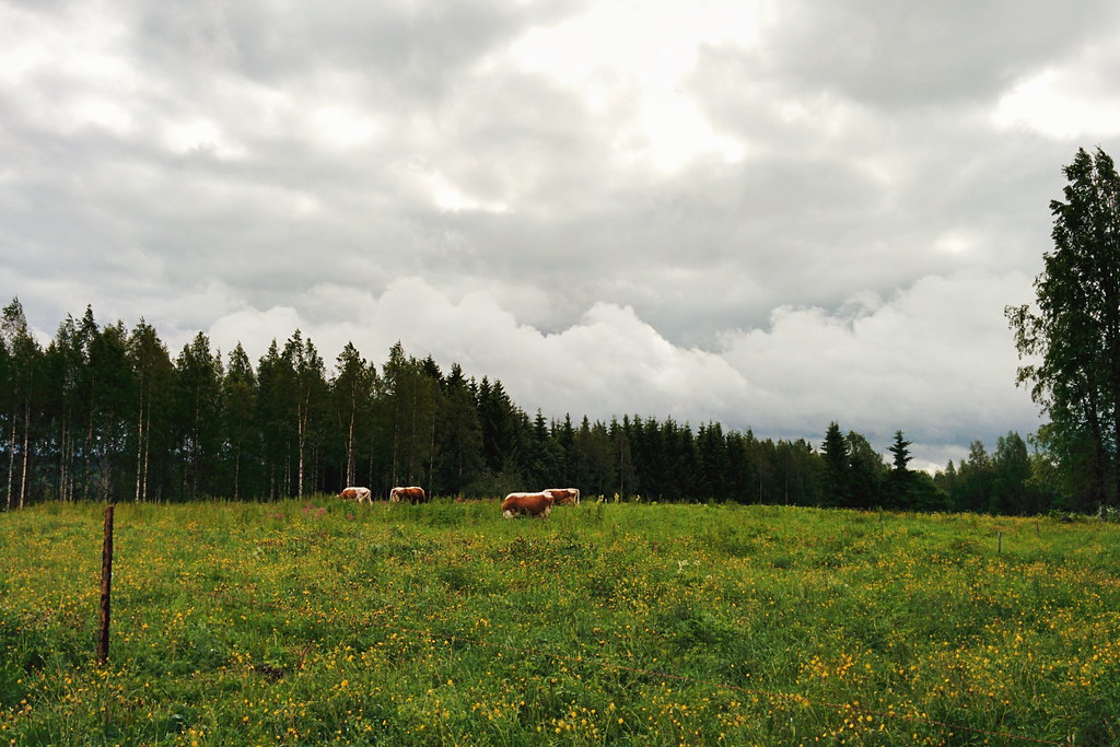
Here are some Eastern Finnish Cows. They are rare and genetically distinct from both other Finnish cows, and cows in general.
Topographic Map of Tetriseläntie 8, Ilomantsi, Finland
Find elevation by address:

Places near Tetriseläntie 8, Ilomantsi, Finland:
Kerälänvaarantie 10, Ilomantsi, Finland
Kerälänvaarantie 29, Ilomantsi, Finland
Väyrynvaarantie 17, Ilomantsi, Finland
Perttivaarantie 1, Ilomantsi, Finland
Ala-Koidan tie, Ilomantsi, Finland
Pystyviitantie 61, Joensuu, Finland
Kivilahdentie, Ilomantsi, Finland
Pykälävaarantie, Tohmajärvi, Finland
Pamilontie, Joensuu, Finland
Tohmajärvi
Pohjantie 162
Pohjantie 135
Eno
Kitee
Ohvanantie, Joensuu, Finland
Kinnulantie 29, Joensuu, Finland
Kulhontie 68, Joensuu, Finland
Laitakankaantie 55, Joensuu, Finland
Kontiolahden Asemankylä
Iiksensuuntie 11, Joensuu, Finland
Recent Searches:
- Elevation of Corso Fratelli Cairoli, 35, Macerata MC, Italy
- Elevation of Tallevast Rd, Sarasota, FL, USA
- Elevation of 4th St E, Sonoma, CA, USA
- Elevation of Black Hollow Rd, Pennsdale, PA, USA
- Elevation of Oakland Ave, Williamsport, PA, USA
- Elevation of Pedrógão Grande, Portugal
- Elevation of Klee Dr, Martinsburg, WV, USA
- Elevation of Via Roma, Pieranica CR, Italy
- Elevation of Tavkvetili Mountain, Georgia
- Elevation of Hartfords Bluff Cir, Mt Pleasant, SC, USA